Routes

Planner

Features

Updates

App

Login or Signup

Get the App

Login or Signup

Routes
Hikes
United Kingdom
England
East Midlands
Derbyshire

Peak District

The best hikes from bus stations in Peak District

4.6

(46506)

290,422

hikers

1,561

hikes

Bus station hiking trails in Peak District traverse a landscape characterized by rugged moorlands, rolling hills, dramatic gritstone edges, and serene valleys. The region is geologically divided into the Dark Peak, featuring expansive gritstone moorlands, and the White Peak, known for its gentler limestone dales. This diverse terrain offers a variety of hiking experiences, from challenging moorland paths to picturesque valley walks.

Best bus station hiking trails in Peak District

  • The most popular bus station hiking route is Mam Tor, The Great Ridge & Castleton loop — Peak District National Park, an 8.1 miles (13.0 km) trail that takes 3 hours 58 minutes to complete. This route offers panoramic views from the Great Ridge and explores the historic village of Castleton.
  • Another top favourite among local hikers is Dragon's Back loop from Longnor — Peak District National Park, a moderate 9.0 miles (14.5 km) path. This trail navigates the distinctive, undulating hills known as the 'Dragon's Back', offering unique geological formations.
  • Local hikers also love the Monsal Trail and Ashford-in-the-Water Circular, a 6.3 miles (10.1 km) trail leading through limestone dales and along a converted railway line, often completed in about 2 hours 42 minutes.
  • Hiking in Peak District is defined by gritstone edges, limestone dales, and expansive moorlands. The network offers options for various ability levels, from gentle valley strolls to more strenuous hill climbs.
  • The routes in Peak District are highly rated by the komoot community with an average score of 4.6 stars from over 40,000 reviews. More than 260,000 hikers have used komoot to explore Peak District's varied terrain.

Last updated: August 9, 2026

4.9

(343)

2,093

hikers

#1.

Mam Tor, The Great Ridge & Castleton loop — Peak District National Park

13.0km

03:58

450m

450m

Embark on the Mam Tor, The Great Ridge & Castleton loop, a moderate 8.1-mile (13.0 km) hike in the Peak District National Park. This picturesque route, typically completed in about 3 hours and 58 minutes, features a total elevation gain of 1462 feet (446 metres) and offers diverse terrain. You will traverse well-maintained paths, including paved sections and stone steps, alongside natural unpaved and gravel stretches that can be muddy. From Mam Tor's summit, you are treated to expansive views over the Edale Valley, Hope Valley, and Kinder Scout, with the Great Ridge providing continuous panoramic vistas on both sides.

Castleton village serves as a charming starting and ending point for this popular hike. The trail attracts many visitors, especially on weekends and for sunrise views, so arriving early is often recommended to avoid crowds. In Castleton, you will find various amenities such as cafes and pubs, perfect for a stop before or after your adventure.

This trail is notable for its rich history and unique geological features. Mam Tor, also known as the "Shivering Mountain" due to its unstable shale and sandstone, holds remains of an ancient hill fort and Bronze Age burial barrows. The Great Ridge, a nearly 2-mile (3-kilometer) long connector between Mam Tor and Lose Hill, is a highlight. You can also explore the dramatic limestone gorge of Winnats Pass and visit attractions in Castleton like Peveril Castle or the Treak Cliff Cavern.

Navigate with device

Send to Phone

Save

Moderate

Embark on the Dragon's Back loop from Longnor, a moderate 9.0-mile (14.5 km) hike in the Peak District National Park that typically takes about 4 hours and 22 minutes to complete. You will gain 1463 feet (446 metres) in elevation as you traverse a diverse landscape. The trail features a mix of unpaved paths, natural trails, and quiet lanes, but also includes challenging sections requiring some scrambling, especially on the narrow edges of Chrome Hill. Expect uneven and sometimes slippery limestone rocks on steep ascents and descents. As you hike, you will encounter step stiles and kissing gates, and cross a ford, though a footbridge is available if needed. The scenery unfolds with magnificent views over the wild Staffordshire hills, dotted with farms and criss-crossed with stone walls, offering spellbinding vistas over the distinctive "Dragon's Back" formed by Chrome and Parkhouse Hills.

This loop is generally considered a moderate hike, requiring good fitness due to its challenging sections. The ascent of Chrome Hill is particularly strenuous, involving steep inclines and uneven, slippery limestone rocks. Descending from Parkhouse Hill also involves a very steep path, so it is advisable to take great care on these sections due to potential steep drops. While some parts are easily accessible, be prepared for significant challenges on others. The route offers continuous panoramic views from various points, particularly from Chrome Hill and High Wheeldon, making the effort worthwhile.

The Dragon's Back loop is most notable for the distinctive geological formations of Chrome Hill and Parkhouse Hill, which resemble the plates along a stegosaurus's spine. These unique reef knolls were formed from an ancient coral reef when the area was covered by a tropical sea millions of years ago. The trail is celebrated for its demanding yet exhilarating nature, featuring seven short, very steep climbs to and off the summits. This area is also recognized as a Site of Special Scientific Interest (SSSI) due to its unusual geology and unique flora, such as foxgloves in summer and bright yellow gorse in autumn.

Moderate
guide_signup
Let us show you the way with the komoot mobile app
With a free komoot account, you can easily find, customize, and navigate endless outdoor adventures.

Sign up for free

Embark on an easy hike through the expansive peat bogs and moorland of Bleaklow, offering wide-open views towards Manchester and Black Hill. This 3.8-mile (6.0 km) loop involves a gentle climb of 352 feet (107 metres), taking about 1 hour and 40 minutes to complete. As you traverse the exposed landscape, you'll feel the raw, wild atmosphere of the Peak District. The route leads you to the poignant B-29 Superfortress 'Over Exposed' Crash Site, where scattered wreckage serves as a powerful reminder of history.

Prepare for exposed moorland conditions on this trail; there's no shade, and the weather can shift quickly, sometimes experiencing all four seasons in a single day. Poor visibility is a common occurrence, so make sure you have sturdy footwear and basic navigation skills, including a map and compass. Parking at Snake Pass Summit can be limited, especially on weekends, so an early start is a good idea to secure a spot. Note that there are no public facilities at the trailhead.

This trail offers a unique journey through history and nature, combining the solemnity of the B-29 crash site with the natural beauty of the Peak District. You can also reach the Higher Shelf Stones Summit and Trig Point for wide-ranging vistas, and discover Hern Clough, a small waterfall, along the way. It's a distinctive experience across the vast moorland, setting it apart from other hikes in the region.

Easy

4.7

(123)

608

hikers

Embark on the Monsal Trail and Ashford-in-the-Water Circular, a moderate hiking route that guides you through the scenic limestone dales of the Peak District. This 6.3-mile (10.1 km) journey, with an elevation gain of 396 feet (121 metres), takes approximately 2 hours and 41 minutes to complete. You will experience a blend of accessible railway path and varied natural landscapes, passing through atmospheric, lit railway tunnels and crossing the impressive Headstone Viaduct with its sweeping views over Monsal Dale. The route also leads you into the charming village of Ashford-in-the-Water, known for its ancient packhorse bridge.

While the Monsal Trail section is largely gentle and flat, be prepared for steeper ascents and descents as you explore the woodlands and fields around Ashford-in-the-Water. This circular route is generally accessible, but some parts require more effort. Parking is conveniently available at various points along the Monsal Trail, including Hassop Station, which also provides amenities like a café and cycle hire.

This hike offers a diverse experience, combining the historical railway path with the natural beauty of the River Wye valley. You will traverse picturesque dales and encounter the impressive engineering of the railway tunnels, which are well-lit for your passage. The route's blend of easy-going sections and more challenging terrain makes it a rewarding choice for many hikers seeking both history and natural splendor.

Moderate

4.8

(61)

494

hikers

5.79km

01:45

170m

170m

Embark on The Roaches loop, a moderate hike that takes you through dramatic gritstone landscapes with varied terrain. You will cover 3.6 miles (5.8 km) and gain 545 feet (166 metres) in elevation, typically completing the route in about 1 hour and 44 minutes. As you hike, you will encounter impressive rock formations like Rabbit Rock and enjoy expansive panoramic views across the Staffordshire Moorlands and Tittesworth Reservoir. The path can be rugged in places, so be prepared for some short, steep climbs.

When planning your visit, remember that the trail's moderate difficulty means you should wear sturdy walking boots. Certain sections, particularly around Doxey Pool and after rainfall, can become quite boggy, so waterproof footwear is advisable. Due to the rugged nature of the terrain, this route is not suitable for prams or wheelchairs. Always check local conditions before you head out, especially after wet weather.

The Roaches loop offers more than just a hike; it immerses you in a landscape rich with local legend. The mystical Doxey Pool, for instance, adds an intriguing element to your journey through the Peak District National Park. This trail is a fantastic way to experience the unique geology and scenic beauty of the area, providing a memorable outdoor adventure.

Moderate
Sign up for free to see 1,557 more hikes in Peak District.

Get access to more routes and recommendations from other explorers.

Sign up for free

Already have an account?

Our route recommendations are based on thousands of hikes, rides, and runs completed by other people on komoot.

Start today with a free account

Your next adventure awaits.

Login or Signup

Popular around Peak District

Peak District National Park – A Walk in the Parks
Sheffield Country Walk – A varied hike around the Steel City
Derwent Valley Heritage Way — Hike a river that changed the world
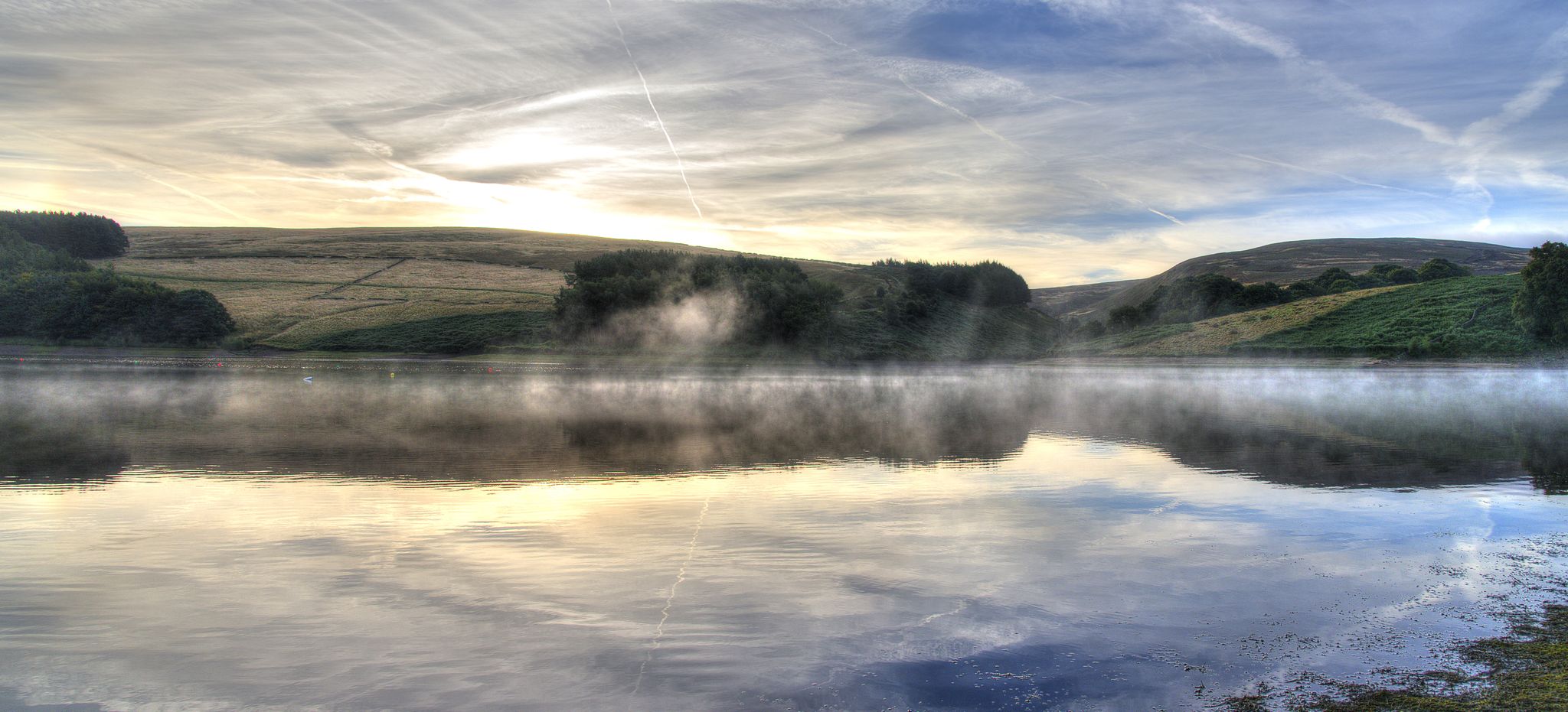
Midshires Way — An epic hike through England's rural heart
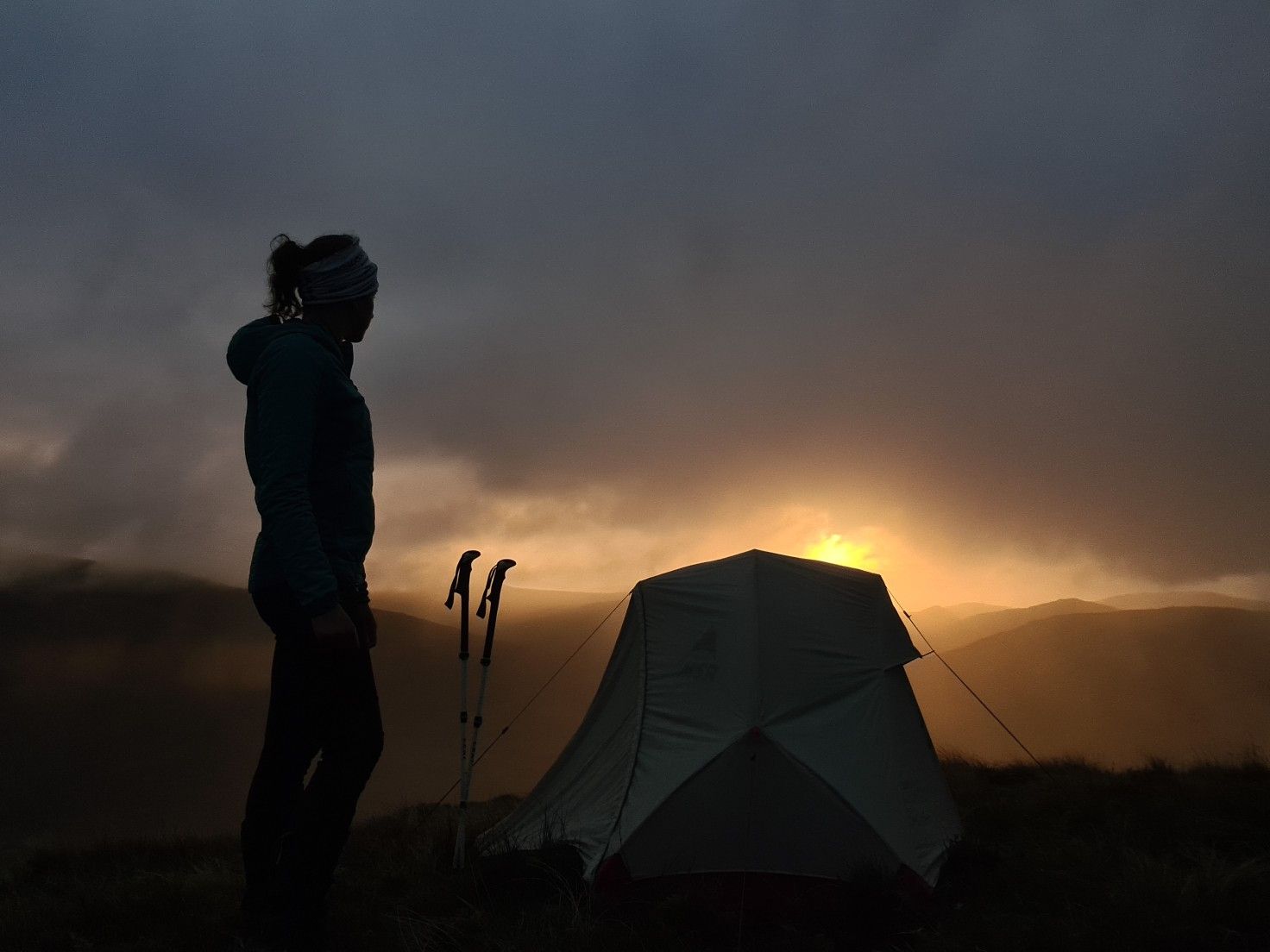
#WalkHome2020 — Sheffield to Cockermouth in 15 days
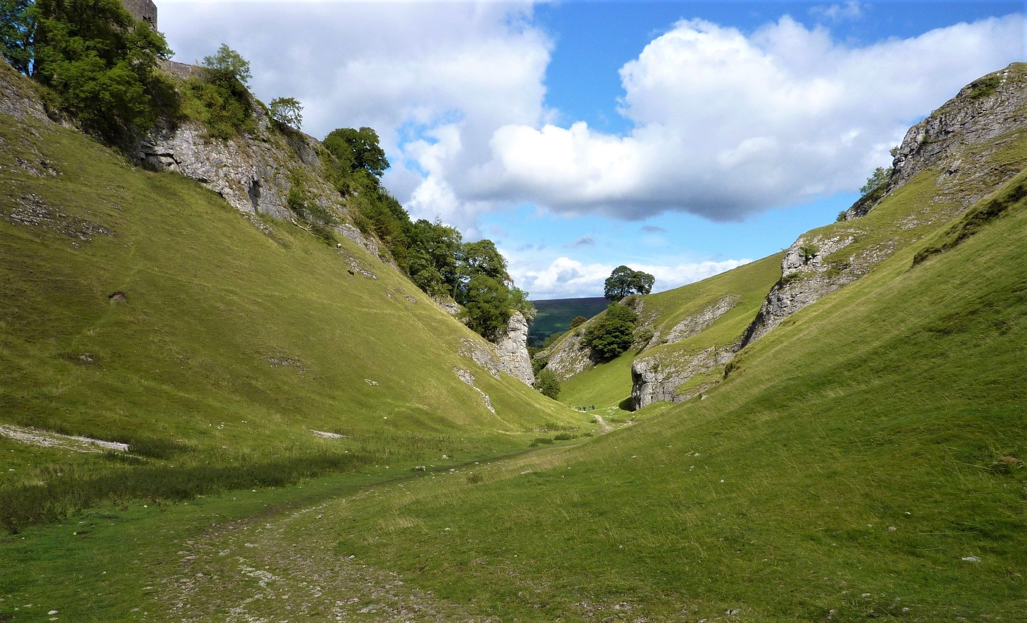
Limestone Way — Hike the dales and meadows of the White Peak
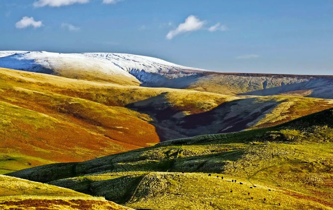
Pennine Way – Take on England's ultimate long-distance hike
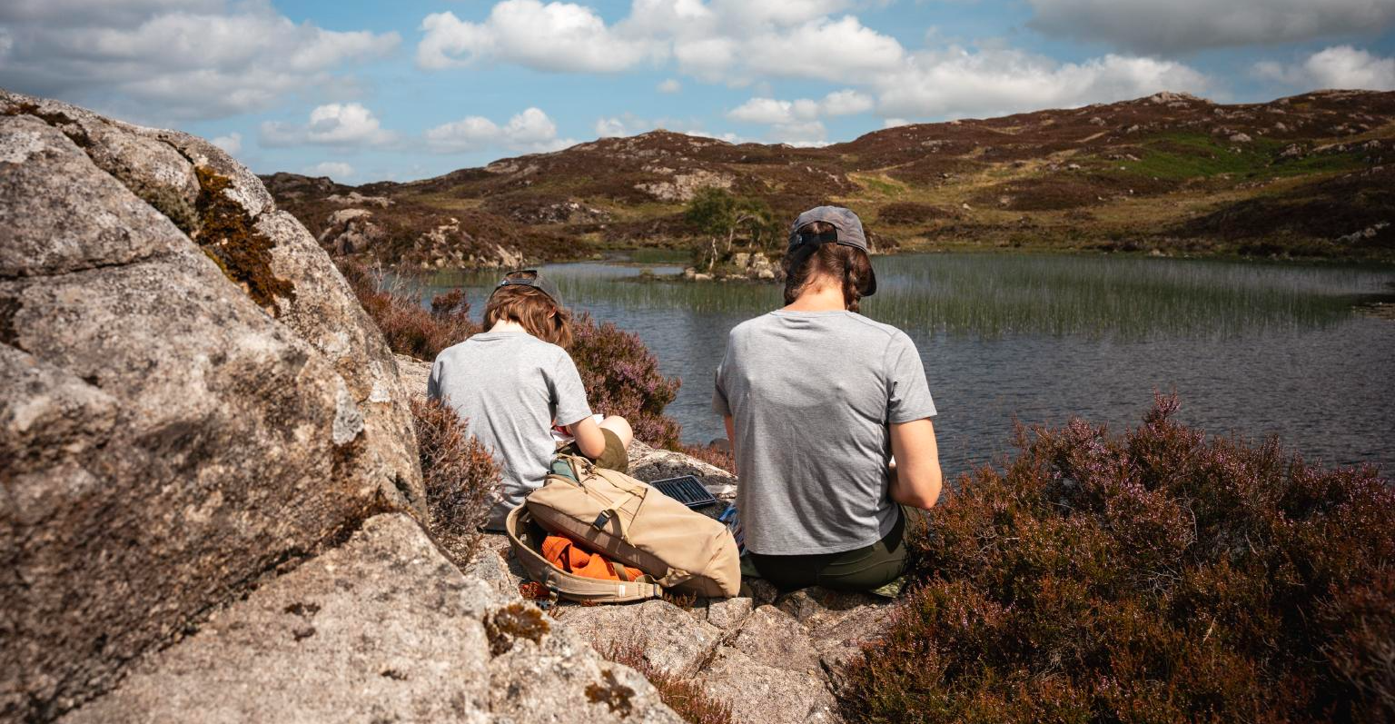
Family friendly UK trails for little explorers
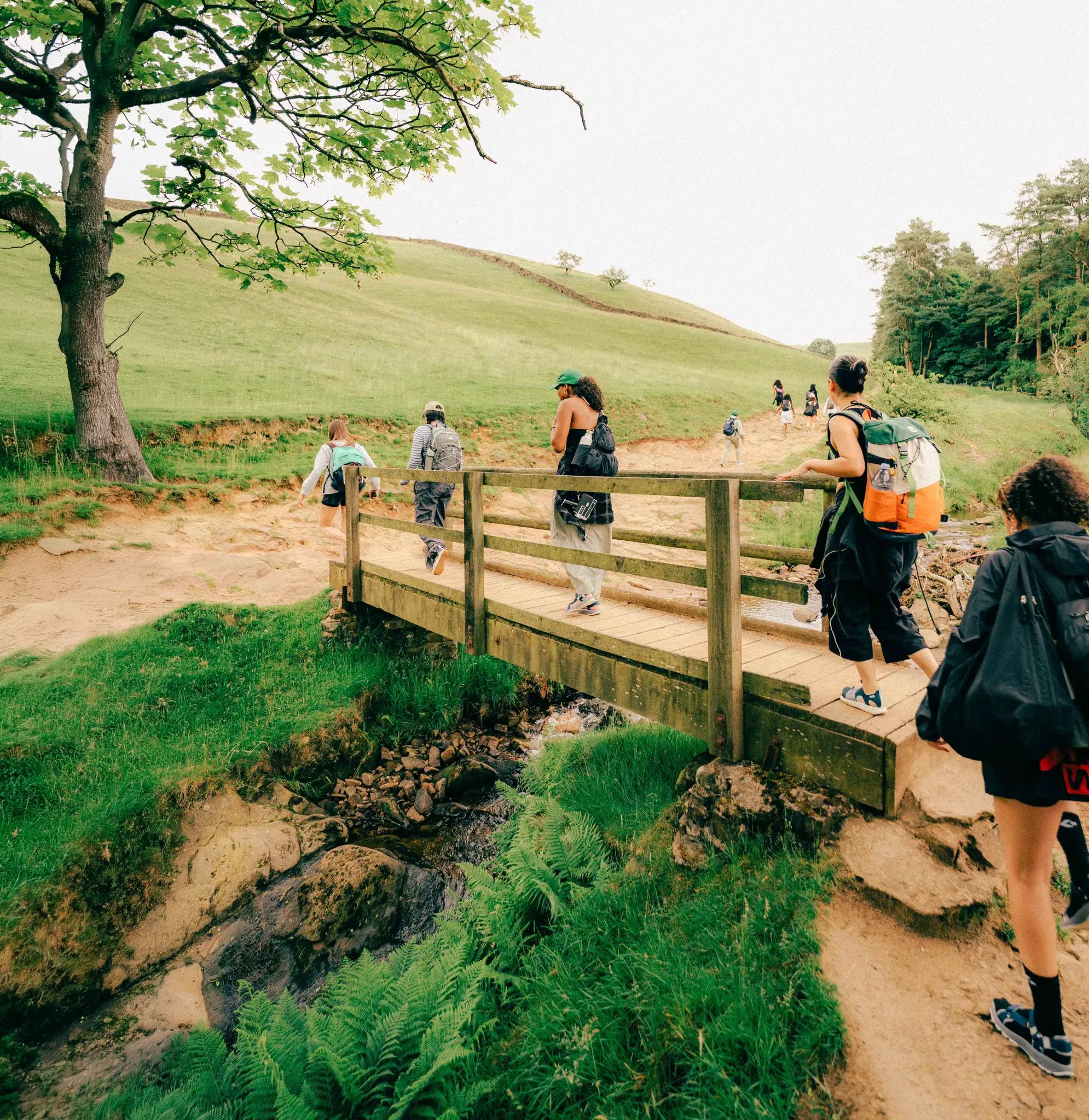
Scenic Trails to Natural Swimming Spots

Rugged moorland, scenic hilltops and urban canals – Oldham Way

Other adventures in Peak District

Peak District National Park – A Walk in the Parks

Hiking Collection by

Jen Lowthrop

Tips from the Community

Mark Halliday
April 14, 2026, High Wheeldon Summit Trig Point

A short sharp climb from either the South or North for great views of the valley

0

0

On a clear day some good views, rock formations are interesting

0

0

Its magnificent soaring rock faces and wild, heather-covered hillsides draw tens of thousands of visitors each year, and make it one of Staffordshire’s most photographed landscapes.

0

0

Went for a Bakewell tart but also tried the Bakewell pudding, it was amazing. It's a great shop.

0

0

top of wheeldon..quite steep

0

0

old train station car park starts on the monsal trail Check out the photos 📸

1

0

Richard
May 8, 2025, Roaches Gate

Great walks around roaches and cloud edge Great views

0

0

Richard
May 8, 2025, Roaches Gate

Great walks around the roaches

0

0

Frequently Asked Questions

How many bus-accessible hiking trails are there in the Peak District?

The Peak District offers a vast network of bus-accessible hiking trails. On komoot, you can find over 1500 routes that start near bus stations, catering to all levels of experience.

Are there easy or beginner-friendly bus station hikes in the Peak District?

Yes, the Peak District has many easy routes accessible by bus. For example, the B-29 Overexposed Plane Crash Site loop from Pennine Way is an easy option. The White Peak area, with its gentler limestone dales, often provides more accessible terrain compared to the rugged Dark Peak.

Can I find circular hiking routes accessible by bus in the Peak District?

Absolutely. Many bus-accessible routes in the Peak District are circular, allowing you to start and end your hike at the same bus stop. Examples include the popular Mam Tor, The Great Ridge & Castleton loop or the Dragon's Back loop from Longnor.

What kind of landscapes can I expect on bus-accessible hikes in the Peak District?

The Peak District offers incredibly diverse landscapes. In the north (Dark Peak), expect wild gritstone moorlands, peat bogs, and dramatic edges like Stanage Edge. In the south (White Peak), you'll find rolling green hills, picturesque limestone dales, and unique geological formations such as the 'Dragon's Back' hills (Chrome Hill and Parkhouse Hill).

Are there any bus-accessible hikes that feature waterfalls or dramatic viewpoints?

Yes, the Peak District is home to stunning natural features. The Kinder Downfall on Kinder Scout is a notable waterfall, and many routes offer panoramic views. For dramatic vistas, consider routes around Mam Tor or along the gritstone edges like Stanage Edge, which provide breathtaking views over the Hope Valley.

Are the bus-accessible trails in the Peak District suitable for families?

Many bus-accessible trails are family-friendly, especially those in the White Peak area like Dovedale with its famous stepping stones. Disused railway lines converted into multi-user trails, such as the Monsal Trail, are also excellent for families, offering flat, easy walking and scenic views.

Are dogs allowed on bus-accessible hiking trails in the Peak District?

Generally, dogs are welcome on most hiking trails in the Peak District, provided they are kept under control, especially around livestock. Always check specific route details for any restrictions, and remember to clean up after your dog. Many bus services in the Peak District are also dog-friendly, but it's advisable to check with the operator before travelling.

What are some notable landmarks or attractions I can see on these bus-accessible routes?

You can encounter a wealth of landmarks. The Mam Tor summit and the Great Ridge are iconic. You might also pass historical sites like Peveril Castle in Castleton, or natural monuments such as Higger Tor. The region is also known for its show caves in Castleton, including Peak Cavern and Speedwell Cavern.

Are there any bus-accessible routes that offer a wilder, more challenging experience?

For a wilder experience, look towards the Dark Peak. Routes around Kinder Scout, the highest point in the Peak District, offer challenging terrain with moorland and rocky paths. Bleaklow, the second-highest peak, provides a remote feel, including the site of a World War Two bomber crash.

What is the best time of year to go hiking from bus stations in the Peak District?

The Peak District is beautiful year-round. Spring brings wildflowers and milder weather, while summer offers long daylight hours. Autumn provides stunning foliage, especially in the dales. Winter can be challenging with snow and ice, particularly on higher ground, but offers dramatic, quiet landscapes for experienced hikers. Always check weather forecasts and bus schedules, as some services may be reduced in winter.

Are there places to eat or drink near the bus-accessible trailheads?

Many villages and towns in the Peak District, which serve as bus hubs, offer pubs, cafes, and shops. Popular spots like Castleton, Edale, Bakewell, and Hathersage have amenities close to bus stops and trailheads, perfect for a post-hike refreshment or to stock up on supplies.

What makes the Peak District a good destination for bus-accessible hiking?

The Peak District's extensive public transport network, combined with its diverse and stunning landscapes, makes it an ideal destination for bus-accessible hiking. The komoot community highly rates the area, with an average score of 4.6 stars, often praising the well-maintained paths, varied scenery, and the convenience of reaching trailheads without a car.

Most popular routes in Peak District

Family-friendly hikes in Peak District

Most popular attractions in Peak District

Places to see

Store rating

Get inspired with the komoot mobile app

With a free komoot account, you can easily find, customize, and navigate endless outdoor adventures.

or

Join komoot Now

Store rating

Explore more

Browse the best Hikes in other regions.

High PeakDerbyshire DalesNorth East DerbyshireErewashSouth DerbyshireAmber ValleyChesterfieldBolsover

Nearby adventure guides

Things to Do around Wheston

background

Get ready to conquer new peaks

Sign up for Free

Explore
RoutesRoute plannerFeaturesRedeem a voucherHikesMTB TrailsRoad cycling routesBikepackingSitemap
Download the app
Follow Us on Socials

© komoot GmbH

Privacy Policy