The best hikes from bus stations around Parco Nazionale dello Stelvio
4.6
(42777)
228,577
hikers
465
hikes
Bus station hiking trails around Parco Nazionale dello Stelvio traverse a landscape characterized by high alpine peaks, extensive glaciers, and deep valleys. The region features a diverse terrain ranging from coniferous forests and alpine pastures to glacial lakes and waterfalls. Elevations vary significantly, offering a wide array of hiking experiences. This national park provides a network of trails accessible by public transport, allowing exploration of its natural features.
Best bus station hiking trails around Parco Nazionale dello Stelvio
- The most…
Last updated: October 4, 2026
4.8
(77)
276
hikers
10.8km
03:55
420m
420m
Moderate hike. Good fitness required. Mostly accessible paths. Sure-footedness required.
4.8
(47)
157
hikers
13.4km
04:53
580m
580m
Moderate hike. Good fitness required. Mostly accessible paths. Sure-footedness required.

4.9
(518)
1,981
hikers
Moderate hike. Good fitness required. Mostly accessible paths. Sure-footedness required.
4.9
(487)
2,064
hikers
Hard hike. Very good fitness required. Mostly accessible paths. Sure-footedness required.
4.9
(10)
41
hikers
21.0km
09:11
1,520m
1,520m
Hard hike. Very good fitness required. Mostly accessible paths. Sure-footedness required.
Get access to more routes and recommendations from other explorers.
Already have an account?
Our route recommendations are based on thousands of hikes, rides, and runs completed by other people on komoot.
Start today with a free account
Your next adventure awaits.
Popular around Parco Nazionale dello Stelvio

L1 from Garmisch to Brescia – Far from the classic Alpine crossings
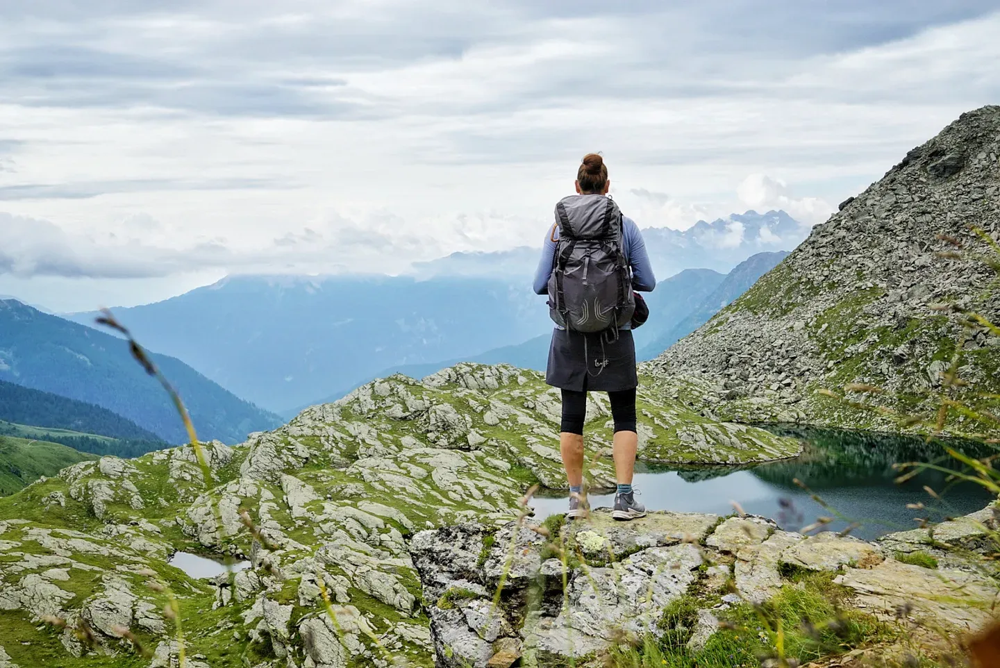
Hut trekking through Stelvio National Park – four days in Val di Sole
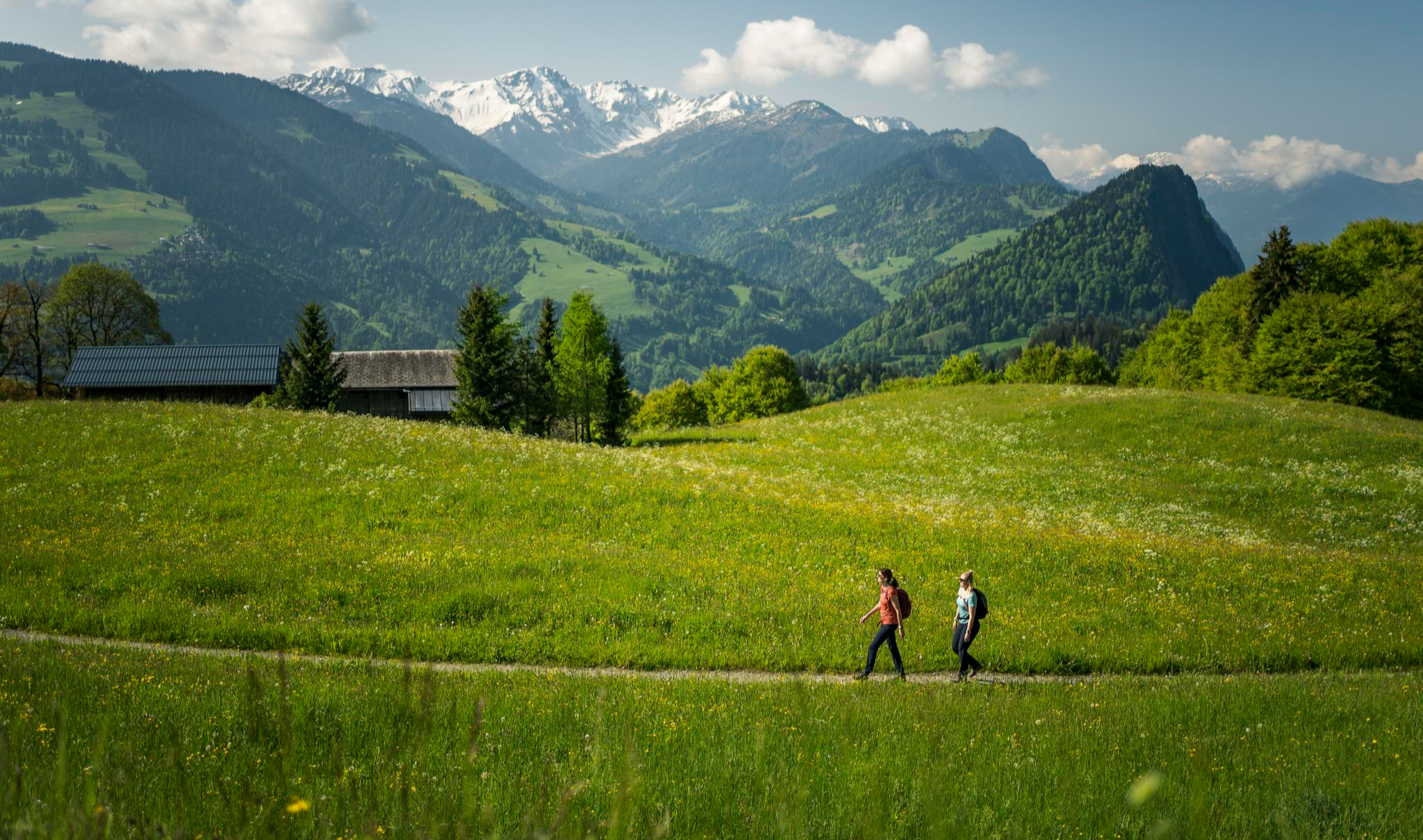
Hiking with respect and tolerance – it just makes sense!
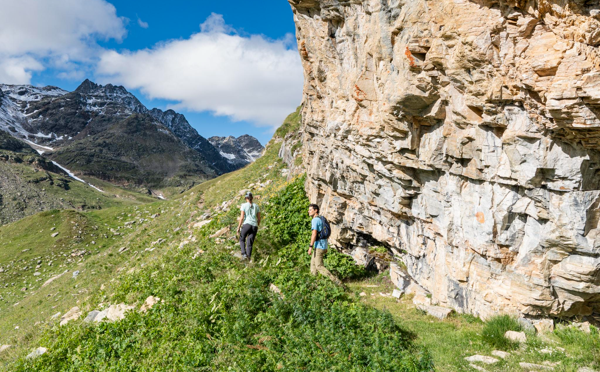
Stelvio Historical Trek – on the trail of the Great War in Bormio
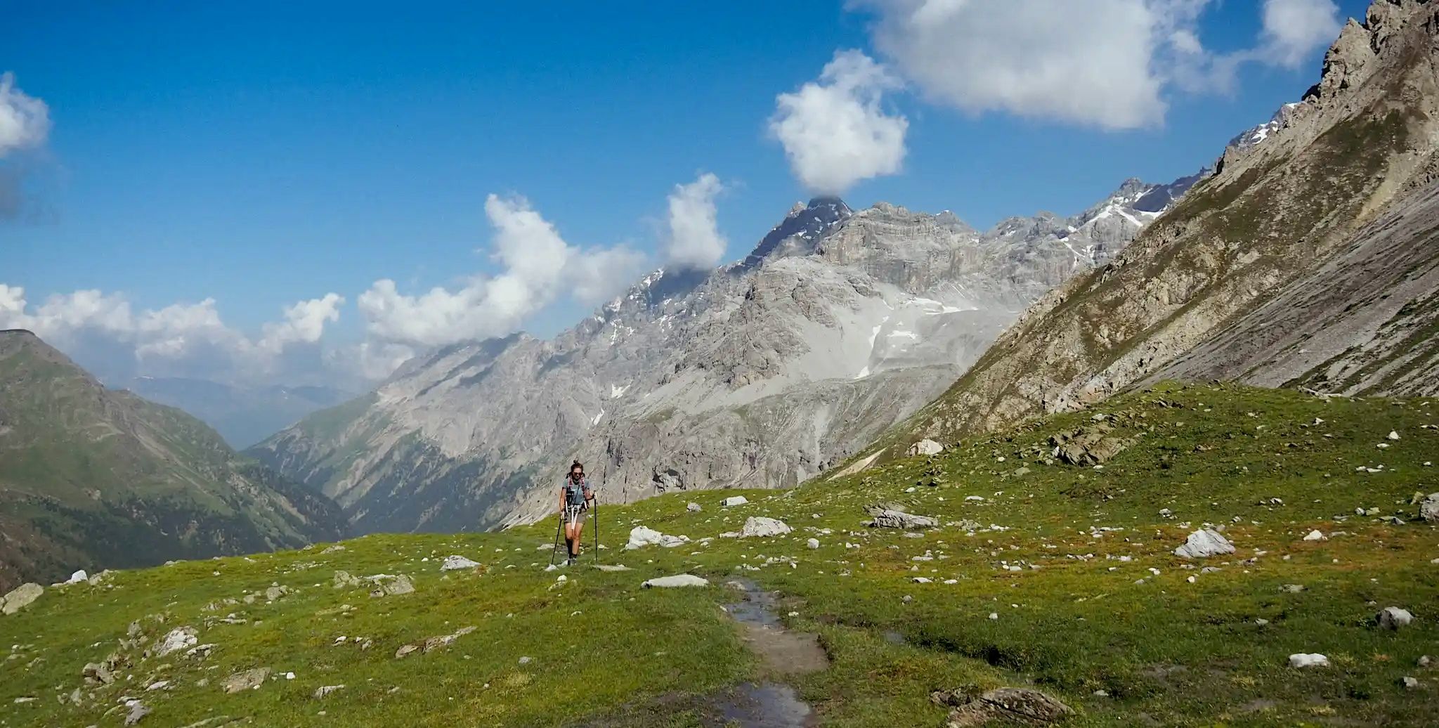
Glaciers, ibex and welcoming mountain huts – Giro del Confinale
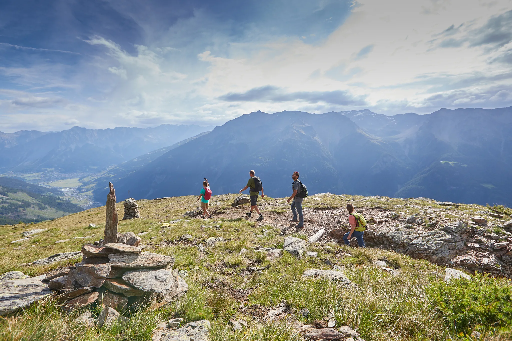
Bormio 360 Adventure Trail – trekking in the beautiful Alta Valtellina
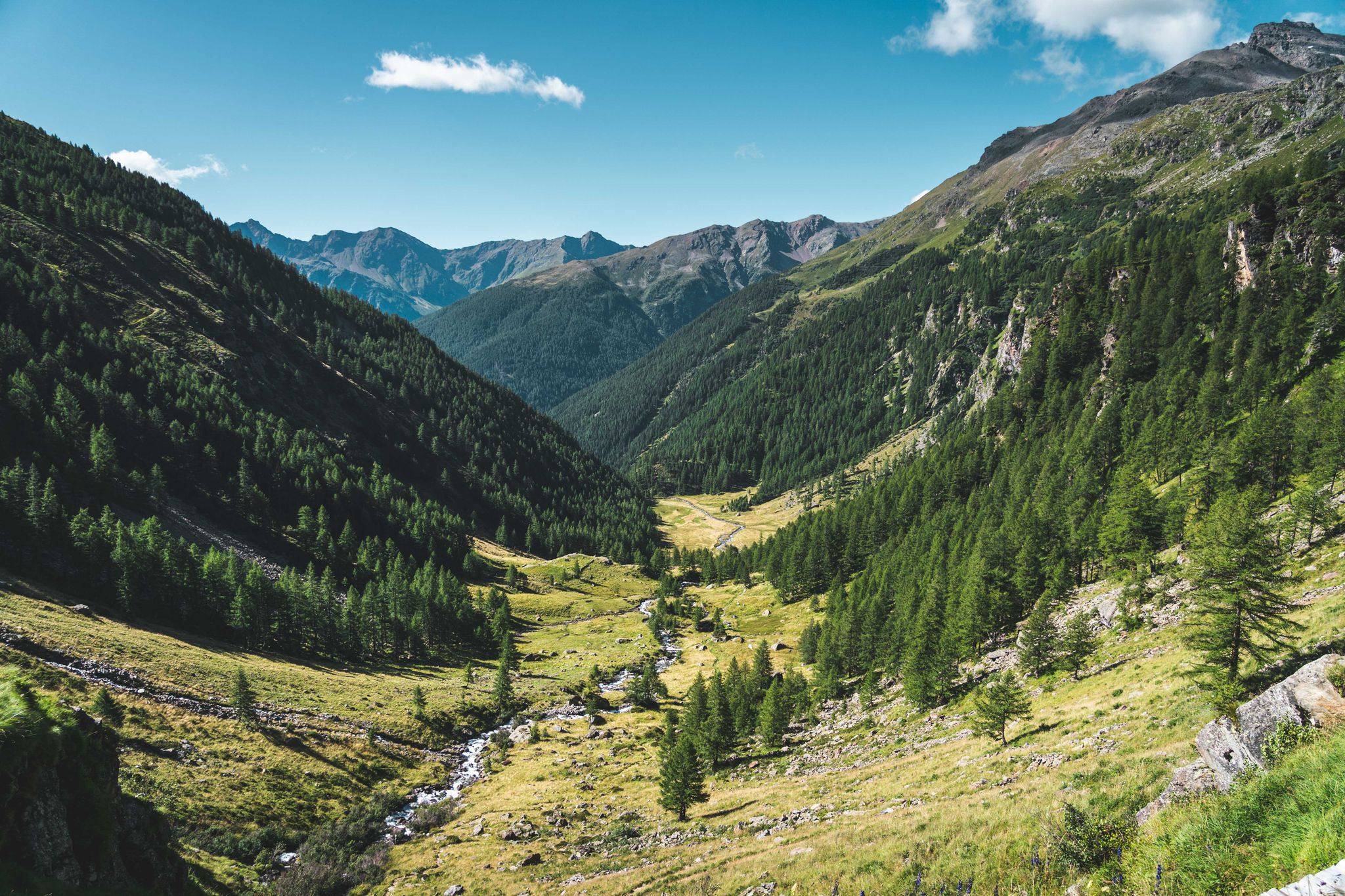
Trekking in Val di Sole – 7 day hikes at high altitude
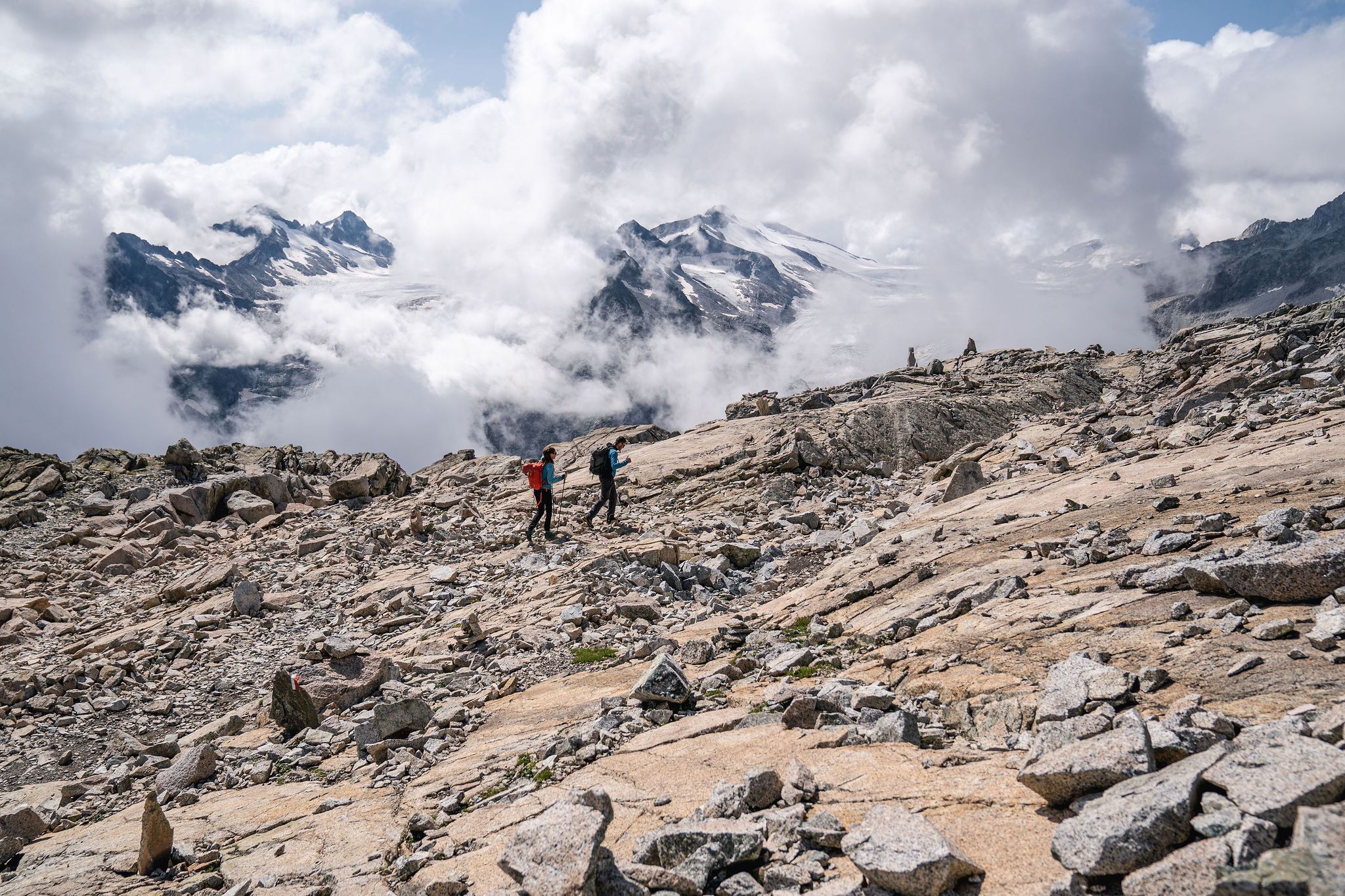
Epic adventures in Val di Sole – between glaciers and rock cathedrals
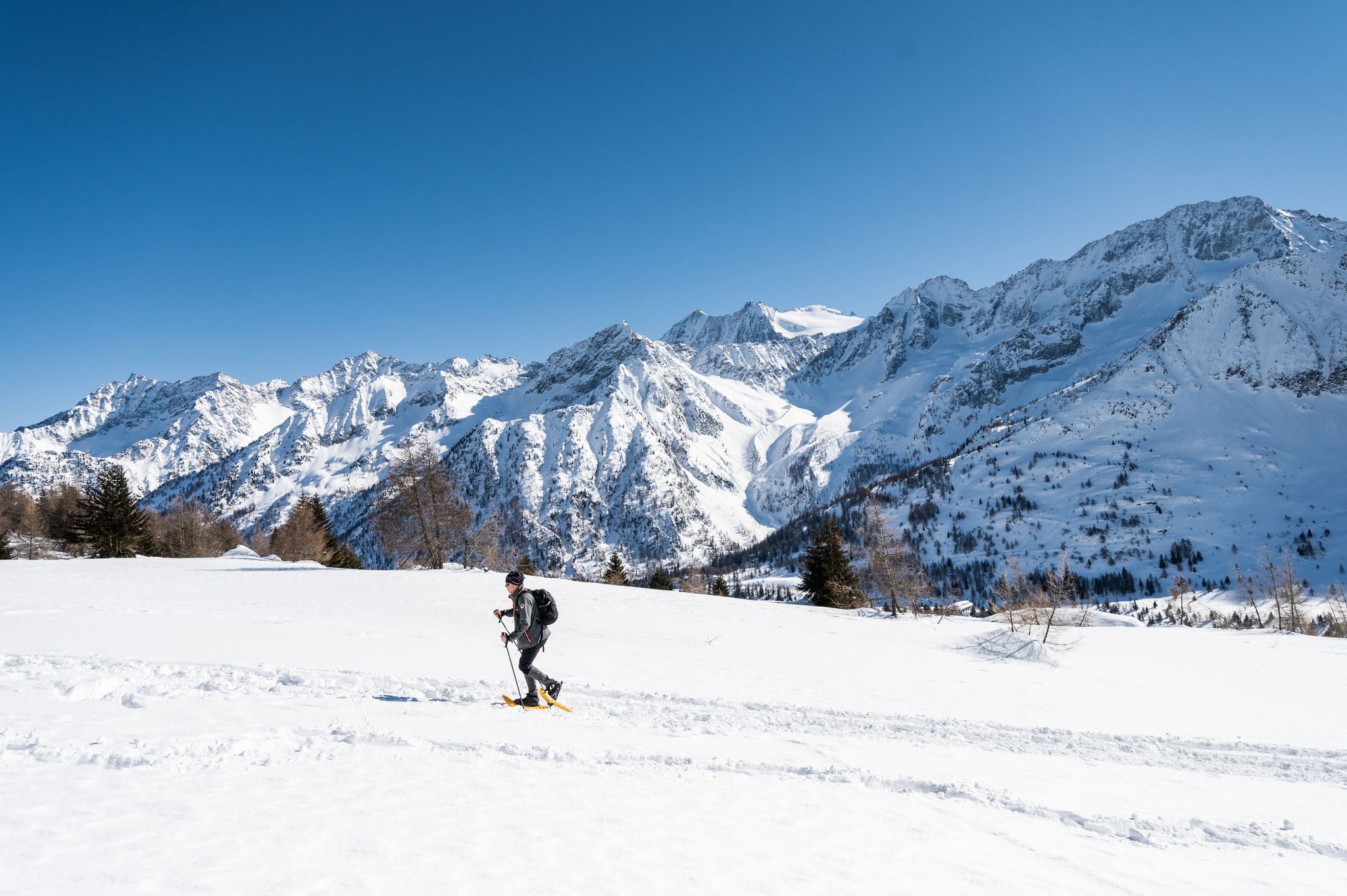
Ten snowshoe hikes in Italy’s Val di Sole

Peaks, rock carvings and mountain huts – hike Italy’s Val Camonica
Other adventures around Parco Nazionale dello Stelvio


Tips from the Community

Uniquely clear and very cold (26.08.14 stayed in the water for only 10 seconds with my feet.
0
0

Nice viewpoint, and beautiful waterfall, beautiful and well built bridge
0
0


beautiful waterfall coming down from the glacier
0
0

The Plima-Schlut suspension bridge in the Martel Valley. A beautiful adventure trail. Suitable for families.
0
0

You can get to the waterfall to cool off
0
0
Be sure to go over it and be amazed
0
0
Frequently Asked Questions
How many bus-accessible hiking trails are available in Parco Nazionale dello Stelvio?
There are over 430 hiking trails in Parco Nazionale dello Stelvio that are accessible from bus stations. These routes cater to various skill levels, with approximately 70 easy, 220 moderate, and 130 difficult options.
What is the best time of year to hike from bus stations in Parco Nazionale dello Stelvio?
The best time for hiking in Parco Nazionale dello Stelvio is generally from late spring to early autumn (June to September). During these months, the alpine pastures are lush, and the higher trails are more accessible as snow has melted. The park's diverse altitudes, from 650 meters to nearly 4,000 meters, mean conditions can vary significantly, so always check local weather and trail conditions before heading out.
Are there family-friendly hiking trails accessible by bus in Parco Nazionale dello Stelvio?
Yes, Parco Nazionale dello Stelvio offers several family-friendly options accessible by bus. Many trails, especially those along ancient irrigation channels (Waalwege) in the valleys, are suitable for families. These often feature gentle inclines and engaging natural surroundings. Look for routes marked as 'easy' for the most suitable options.
Can I find waterfalls along bus-accessible hiking trails in Parco Nazionale dello Stelvio?
Absolutely! The park's landscape is dotted with numerous waterfalls. For example, the Plima Gorge Suspension Bridge – Plima Waterfall loop offers stunning views of the Plima Waterfall. Other notable waterfalls include the Lower Saent Waterfall and the Suldenbach Waterfall, which are often part of trails accessible by public transport.
Are there any notable landmarks or viewpoints accessible from bus station trailheads?
Yes, many trails accessible by bus lead to impressive landmarks and viewpoints. You can explore areas with views of high peaks like Ortler Summit or Monte Cevedale Summit. The Plima Gorge Suspension Bridge is another impressive structure offering access to wild natural beauty. The Stelvio Pass itself is a famous attraction and a starting point for exploring magnificent landscapes.
Are dogs allowed on bus-accessible hiking trails in Parco Nazionale dello Stelvio?
Generally, dogs are allowed on trails in Parco Nazionale dello Stelvio, but they must be kept on a leash to protect wildlife and ensure the safety of other hikers. Specific rules may apply in certain protected areas or on public transport, so it's always best to check local regulations or with the bus operator before your trip. Always carry water for your dog and be prepared to clean up after them.
Are there circular hiking routes that start and end at bus stations?
Yes, many bus-accessible routes in Parco Nazionale dello Stelvio are designed as circular trails, allowing you to start and end your hike at the same bus stop. Examples include the Archaikweg and Agumser Bergwaal Loop or the Grünsee (Lago Verde) – Oberweißbrunn Lake loop. These loops are convenient for public transport users as they eliminate the need for return transport from a different endpoint.
What kind of amenities can I expect near bus-accessible trailheads?
Near many bus-accessible trailheads, especially in popular valleys like Martelltal/Val Martello or Ultental/Val d'Ultimo, you can often find basic amenities. These may include small cafes, restaurants, and shops for supplies. Higher up, numerous mountain huts (rifugi) like Rifugio Tabaretta or Zufall Hut provide resting points, food, and sometimes accommodation, often with stunning views.
What makes hiking in Parco Nazionale dello Stelvio unique when using public transport?
Hiking in Parco Nazionale dello Stelvio via public transport offers a unique opportunity to immerse yourself in one of Italy's largest and oldest national parks without the hassle of parking. The extensive bus network connects various valleys and trailheads, allowing you to access diverse ecosystems, from lush forests to glaciated peaks, and experience the region's rich biodiversity and dramatic landscapes, all while minimizing your environmental footprint.
Are there any historical trails accessible by bus in the park?
Yes, the park features historical trails that offer insights into the region's past. A notable example is the Archaikweg historic trail, which takes you through significant historical landscapes. The region also has trails that trace ancient irrigation channels (Waalwege), which are historical in nature and provide a glimpse into traditional alpine life.
What should I consider when planning a bus-accessible hike in Parco Nazionale dello Stelvio?
When planning a bus-accessible hike, always check bus schedules in advance, especially for return journeys, as services can be less frequent in certain areas or seasons. Ensure you have appropriate gear for the weather and terrain, as conditions can change rapidly in the mountains. Carry enough water and snacks, and inform someone of your planned route. Consider purchasing a local public transport pass if you plan multiple bus journeys.
Most popular routes around Parco Nazionale dello Stelvio
Most popular attractions around Parco Nazionale dello Stelvio

Get inspired with the komoot mobile app


Explore more
Browse the best Hikes in other regions.
