The best hikes from bus stations around Schneifel
4.5
(5081)
18,222
hikers
494
hikes
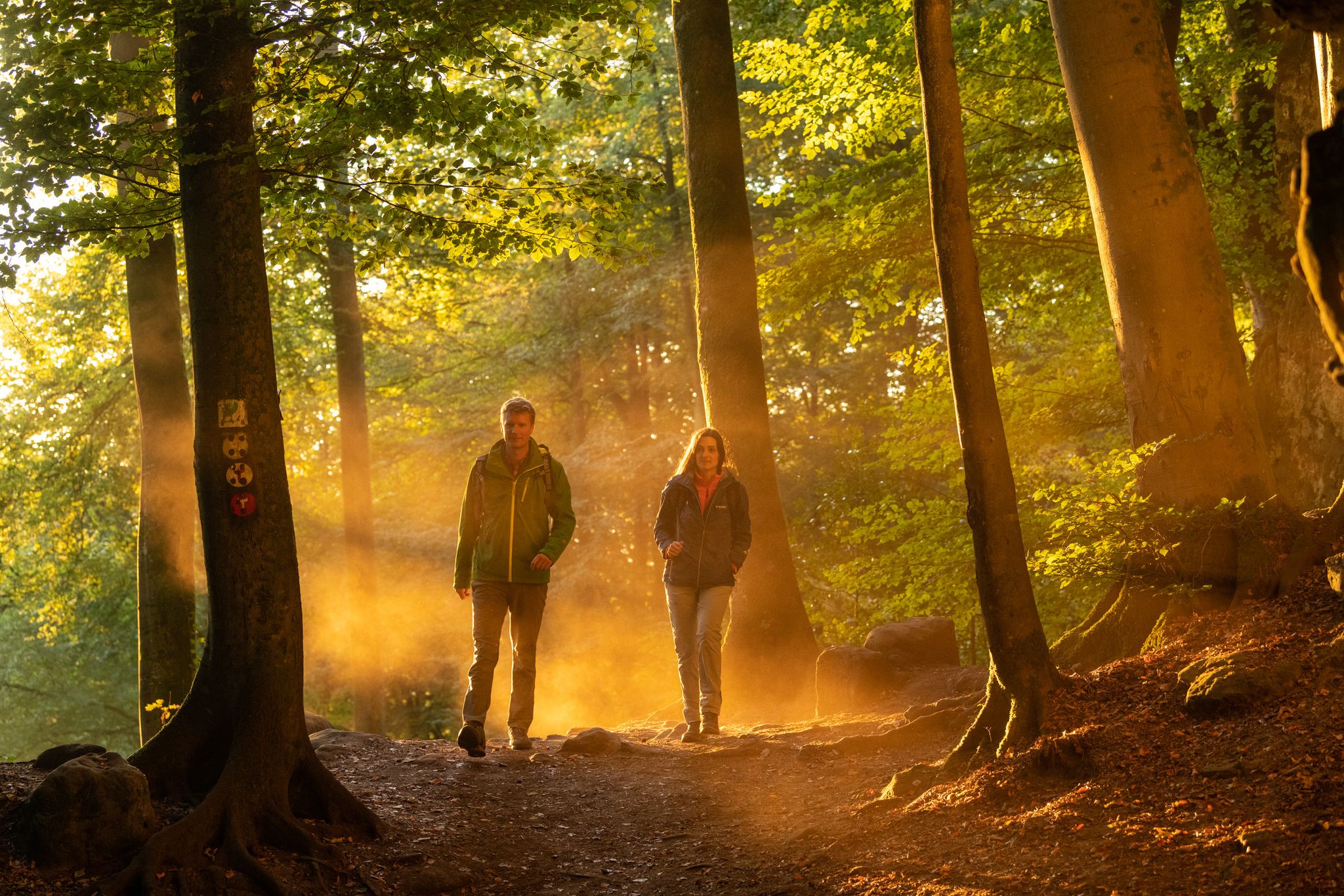
Bus station hiking trails around Schneifel traverse a landscape characterized by quiet forests, expansive moorland, and varied terrain. The region features wild forest areas with dense birch trees and thick bracken, alongside meanders of rivers like the Nims. Hikers can explore diverse natural landscapes including forests, meadows, streams, and valleys, with a significant portion of the area covered by woodlands. The high altitudes contribute to picturesque scenery and offer varied elevation changes.
Best bus station hiking trails around Schneifel
- The…
Last updated: May 17, 2026
4.0
(5)
19
hikers
Hard hike. Very good fitness required. Easily-accessible paths. Suitable for all skill levels.
5.0
(1)
8
hikers
Moderate hike. Good fitness required. Easily-accessible paths. Suitable for all skill levels.

Sign up for free
4.3
(3)
5
hikers
Moderate hike. Good fitness required. Easily-accessible paths. Suitable for all skill levels.
5.0
(2)
8
hikers
Moderate hike. Good fitness required. Easily-accessible paths. Suitable for all skill levels.
4
hikers
9.79km
02:42
170m
170m
Moderate hike. Good fitness required. Easily-accessible paths. Suitable for all skill levels.
Get access to more routes and recommendations from other explorers.
Sign up for free
Already have an account?
Our route recommendations are based on thousands of hikes, rides, and runs completed by other people on komoot.
Start today with a free account
Your next adventure awaits.
Login or Signup
Other adventures around Schneifel

Tips from the Community

The term "long stone or menhir" is also known as "Hinkelstein," at least for the generation that reads its asterisks well!
0
0

Unfortunately, the inscription cannot be deciphered.
0
0
The stone was erected in 1930 below the Black Man by forest workers in memory of the forester Ivo Jansen.
0
0
The bunkers were blown up after the war and are now only recognizable as rubble. Excellent biotopes for rare animals and plants have developed in the ruins. Wild cats and bats, rare mosses and lichens are conquering these moist habitats.
0
0
Attention, the hiking trail branches off behind the hut and does not continue along the edge of the forest.
0
0

The entire hiking route was connected to the river Prüm, sometimes further away, or right next to us.
1
0

Very nice path through the forest
0
0

Great location, definitely worth a visit. If you look closely at the stone you can still see parts of the writing that was once there. Unfortunately the writing is almost illegible due to shrapnel etc.
1
0
Frequently Asked Questions
How many hiking trails accessible by bus are there in the Schneifel region?
The Schneifel region offers a wide variety of hiking trails accessible directly from bus stations. There are over 490 routes available, catering to all skill levels from easy strolls to challenging day hikes.
What kind of terrain can I expect on bus-accessible hikes in Schneifel?
Hikes from bus stations in Schneifel traverse diverse landscapes. You'll find paths through quiet forests, across open moorland, and along the meanders of rivers like the Nims. Many routes also feature barren heights offering expansive views over the Eifel summits. Expect a mix of well-maintained paths and more rugged forest trails.
Are there easy, family-friendly hiking options from bus stops in Schneifel?
Yes, Schneifel has numerous easy and family-friendly routes accessible by bus. These trails often feature gentle ascents and descents, making them suitable for all ages. An example is the Mönbach – Rest Area with a View loop from Sellerich, which is an easy 7 km hike.
Can I find challenging hikes from bus stations in Schneifel?
Absolutely. For experienced hikers seeking a challenge, there are several difficult routes accessible by bus. These often involve significant elevation changes and longer distances. Consider the Basilica of St. Salvator, Prüm – View of the Schneifel loop from Sellerich, a demanding 17.8 km hike with over 460 meters of elevation gain.
Are there any circular hiking routes that start and end at a bus station?
Many of the bus-accessible trails in Schneifel are circular routes, allowing you to start and finish your hike at the same bus stop. This makes planning your public transport journey very convenient. For example, the Blockhouse Schwarzer Mann – Scenic Trail to Schwarzer Mann loop from Sellerich is a moderate 11.4 km circular hike.
What historical landmarks or points of interest can I see on these trails?
The Schneifel region is rich in history. Many bus-accessible trails lead past historical sites, such as remnants of the Westwall Bunkers. You can explore these on routes like the Ruins of Westwall Bunker – Westwallweg Bunker Remains loop from Schlausenbach. Other points of interest include the Forstmeister Jansen Stone.
Are there good viewpoints along the bus-accessible hiking trails?
Yes, the Schneifel region is known for its panoramic views. Many trails, especially those reaching higher elevations, offer magnificent vistas. Look for routes that pass by designated 'Eifel Blick' points or areas like the View of Halenfeld, Oberlascheid, and the Schneifel for expansive scenery.
What is the best time of year to hike in Schneifel using public transport?
Spring, summer, and autumn are generally ideal for hiking in Schneifel. Spring brings blooming wildflowers, summer offers lush greenery, and autumn showcases vibrant foliage. While winter hiking is possible, some bus services might be reduced, and trails can be snowy or icy, especially at higher altitudes like the Schwarzer Mann Summit.
Are there any facilities or places to rest along the bus-accessible routes?
Some trails pass by facilities where you can rest or grab refreshments. For instance, the 'Schwarzer Mann' area, which is accessible via several routes, features a log house. You might also find picnic areas like the Eschfenn Picnic Area along certain paths.
What do other hikers say about the bus-accessible trails in Schneifel?
The hiking trails in Schneifel are highly regarded by the komoot community, with an average rating of 4.5 stars. Hikers frequently praise the region's diverse natural beauty, the well-marked paths, and the tranquility of the forests and moorlands. The convenience of accessing these trails directly from bus stations is also a recurring positive comment.
Are dogs allowed on the hiking trails accessible by bus in Schneifel?
Generally, dogs are welcome on hiking trails in the Schneifel region. However, it's always advisable to keep them on a leash, especially in nature conservation areas or near livestock. Public transport rules regarding dogs vary, so check with the specific bus operator before your journey.
Most popular routes around Schneifel
Most popular attractions around Schneifel

Get inspired with the komoot mobile app


Explore more
Browse the best Hikes in other regions.
