The best traffic-free bike rides around Windgfällweiher
4.5
(318)
5,083
riders
13
rides
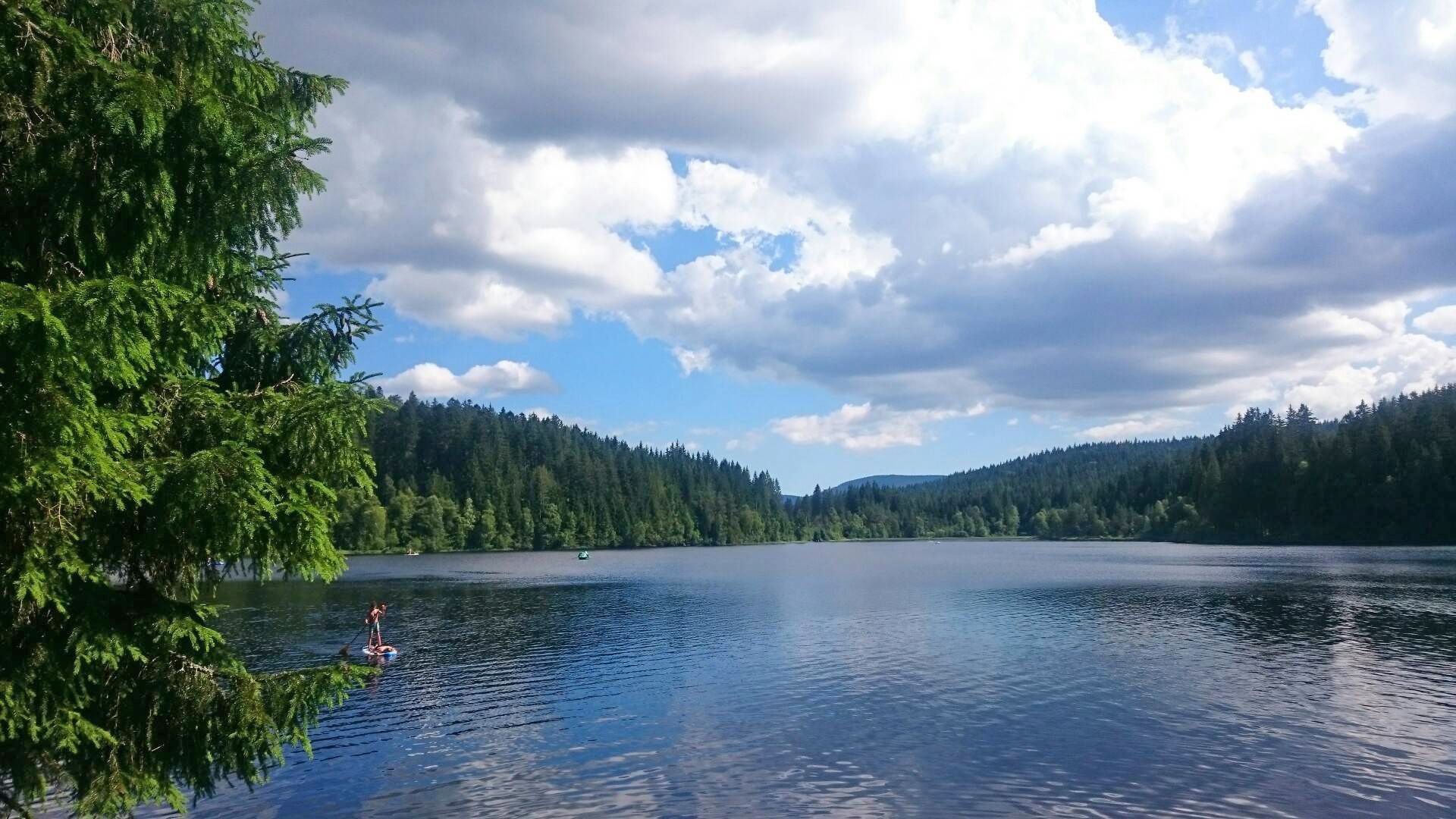
No traffic road cycling routes around Windgfällweiher are situated in the High Black Forest, a region characterized by its reservoir at approximately 1000 meters above sea level, nestled between Titisee and Schluchsee. The landscape features densely forested shores, open areas, and varied terrain suitable for road cycling. This area is part of a landscape protection zone, offering a network of routes through wooded and lakeside environments.
Best no traffic road cycling routes around Windgfällweiher
- The most popular no traffic road…
Last updated: November 12, 2026
4.0
(2)
20
riders
Moderate road ride. Good fitness required. Mostly well-paved surfaces and easy to ride.
5.0
(3)
21
riders
23.9km
01:14
410m
410m
Moderate road ride. Good fitness required. Mostly well-paved surfaces and easy to ride.

5.0
(5)
72
riders
Moderate road ride. Good fitness required. Some segments of this route may be unpaved and difficult to ride.
6
riders
20.8km
01:09
390m
390m
Moderate road ride. Good fitness required. Some segments of this route may be unpaved and difficult to ride.
4.5
(15)
108
riders
50.2km
02:48
980m
980m
Hard road ride. Very good fitness required. Mostly well-paved surfaces and easy to ride.
Get access to more routes and recommendations from other explorers.
Already have an account?
Our route recommendations are based on thousands of hikes, rides, and runs completed by other people on komoot.
Start today with a free account
Your next adventure awaits.


Other adventures around Windgfällweiher

Tips from the Community

The B317 federal road after Hinterzarten towards the Feldberg offers a charming panorama, but it is anything but a quiet road. Judging by its width, it probably also accommodates heavy goods traffic during the week. If possible, avoid it on weekdays.
0
0

The region is ideal for hiking
3
0
The area is ideal for hiking and cycling
3
0
300 real palm trees ✓12 themed saunas ✓18 pools ✓2 pool bars ✓23 water slides ✓Wave pool
3
0
A quiet spot by the roadside, which is excellent for a short break during hikes or bike tours
3
0
It is located in the tiny hamlet of Behabühl (amidst the typical Black Forest landscape with meadows and forests).
3
0
The area is a popular hub for hiking and cycling tours in the Hochschwarzwald.
3
0
The Bruderhalde belongs to the district of Hinterzarten in the district of Breisgau-Hochschwarzwald
3
0
Frequently Asked Questions
How many no-traffic road cycling routes are available around Windgfällweiher?
There are over 15 dedicated no-traffic road cycling routes around Windgfällweiher, offering a variety of options for different skill levels. These routes are specifically curated for a peaceful and car-free cycling experience.
What kind of terrain can I expect on the no-traffic road cycling routes?
The routes around Windgfällweiher predominantly feature well-paved surfaces, making them ideal for road cycling. While most are smooth, some longer or more demanding routes might include short unpaved sections, requiring a good level of fitness. The region is nestled in the High Black Forest, so expect varied topography with gentle lakeside paths and some challenging ascents.
Are there any easy, traffic-free road cycling routes suitable for beginners?
Yes, there are easy, traffic-free options perfect for beginners. For instance, the Behabühl Chapel – Museum of Historic Agricultural Technology loop from Altglashütten-Falkau is an easy route covering 17 km with moderate elevation, offering a pleasant ride without significant traffic.
What are the best times of year to enjoy traffic-free road cycling around Windgfällweiher?
The best time to cycle around Windgfällweiher is typically from spring through autumn, when the weather is mild and the Black Forest scenery is at its most vibrant. The region's elevation at around 1000 meters means cooler temperatures than lower areas, making summer rides particularly pleasant. Winter cycling might be possible, but conditions can be challenging due to snow and ice.
Are there any specific dedicated cycle paths that are traffic-free?
Yes, a notable dedicated cycle path is the Cycle Path Along the B500 Between Schluchsee-Aha and Windgfällweiher. This path is specifically suitable for racing bikes, providing a traffic-separated route with excellent surface quality, ensuring a smooth and safe ride.
What natural features or landmarks can I see along the no-traffic routes?
The routes offer stunning views of the High Black Forest landscape. You'll cycle past the picturesque Windgfällweiher itself, a tranquil reservoir surrounded by dense spruce forests. The region is also situated between the prominent lakes of Titisee and Schluchsee, allowing for scenic views of these larger bodies of water on extended tours.
Are there any longer, more challenging traffic-free road cycling routes for experienced riders?
Absolutely. For experienced riders seeking a challenge, the Via the Bruderhalde – Rest Area at Rinken Pass loop from Altglashütten-Falkau is a moderate route spanning over 49 km with significant elevation gain, offering a rewarding experience through the Black Forest's varied terrain.
Can I find circular traffic-free road bike routes around Windgfällweiher?
Many of the routes around Windgfällweiher are designed as loops, allowing you to start and end at the same point without retracing your steps. For example, the View of Schwärzenbach Valley – Heiligenbrunnen Village loop from Hinterzarten is a moderate 41 km circular route that offers diverse scenery.
What do other road cyclists enjoy most about the no-traffic routes in Windgfällweiher?
The komoot community highly rates the road cycling experience around Windgfällweiher, with an average score of 4.5 stars. Reviewers often praise the serene, traffic-free environment, the stunning natural beauty of the High Black Forest, and the well-maintained surfaces of the dedicated cycle paths.
Are there options for connecting to other popular cycling areas like Titisee or Schluchsee?
Yes, Windgfällweiher's strategic location between Titisee and Schluchsee allows for extended and varied tours that connect these significant bodies of water. Routes like the Hinterzarten – Heiligenbrunnen Inn loop from Titisee offer opportunities to explore the wider region.
Is there parking available near the starting points of these traffic-free routes?
While specific parking details for every route vary, the Windgfällweiher area, being a popular outdoor destination, generally offers parking facilities. It's advisable to check local parking options in villages like Altglashütten-Falkau or Titisee, which serve as common starting points for many routes.
Are there any cafes or restaurants along the no-traffic road cycling routes?
The region around Windgfällweiher, including nearby villages and popular lake areas like Titisee and Schluchsee, offers various cafes and restaurants. While dedicated traffic-free paths might not have direct access to eateries, many routes pass through or near towns where you can find refreshments and meals. The nostalgic lido at Windgfällweiher's eastern shore also features a kiosk for snacks and drinks.
Most popular routes around Windgfällweiher
Most popular attractions around Windgfällweiher

Get inspired with the komoot mobile app


Explore more
Browse the best Road cycling routes in other regions.
