The best hikes from bus stations around Großstolpener Lake
4.6
(3483)
12,004
hikers
234
hikes
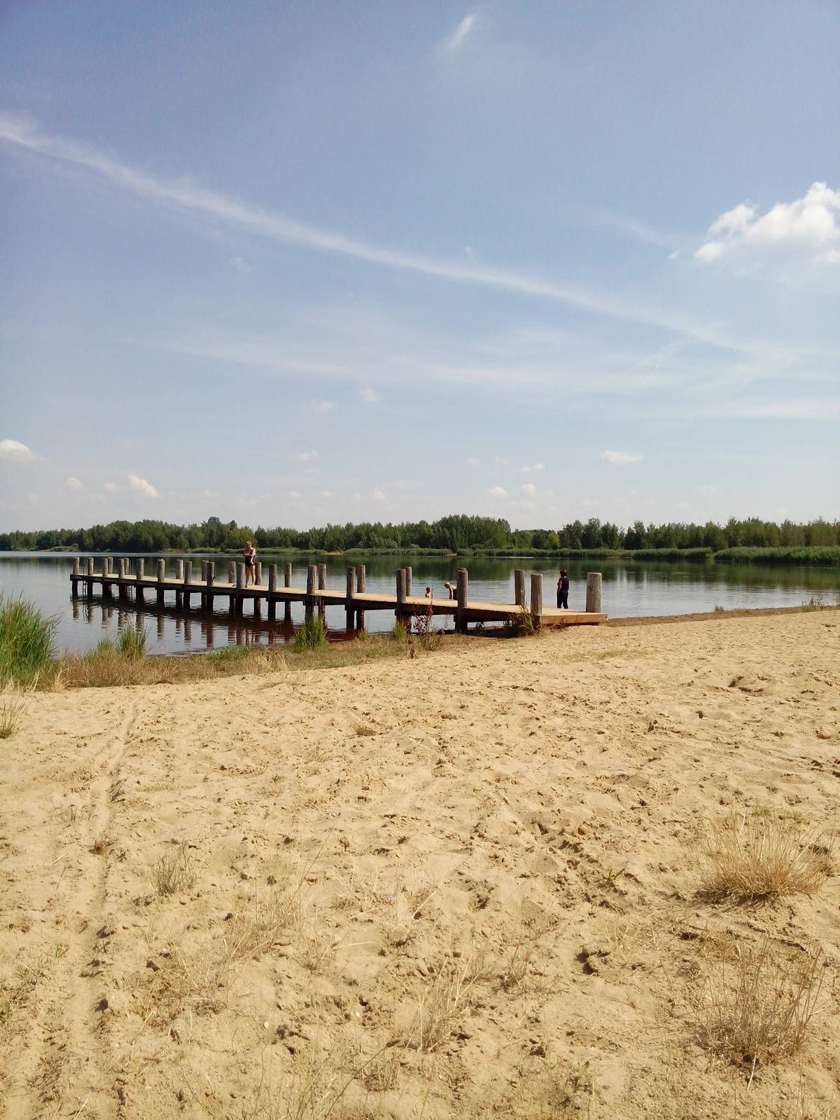
Hiking around Großstolpener Lake offers diverse landscapes characterized by an idyllic lake environment with clear water and a sandy beach. The region features varied forest and green areas, including orchards, particularly on the southern shore. To the southwest, the Schnauderaue Valley provides additional natural exploration opportunities. A dedicated nature conservation area, including a bird island, contributes to the rich flora and fauna.
Best bus station hiking trails around Großstolpener Lake
- The most popular bus station hiking route is Beach at…
Last updated: May 17, 2026
4.0
(3)
11
hikers
17.8km
04:36
100m
100m
Moderate hike. Good fitness required. Easily-accessible paths. Suitable for all skill levels.
5.0
(1)
4
hikers
Easy hike. Great for any fitness level. Easily-accessible paths. Suitable for all skill levels.

Sign up for free
5.0
(1)
9
hikers
Moderate hike. Good fitness required. Easily-accessible paths. Suitable for all skill levels.
4.9
(29)
53
hikers
Moderate hike. Good fitness required. Easily-accessible paths. Suitable for all skill levels.
5.0
(2)
6
hikers
Easy hike. Great for any fitness level. Easily-accessible paths. Suitable for all skill levels.
Get access to more routes and recommendations from other explorers.
Sign up for free
Already have an account?
Our route recommendations are based on thousands of hikes, rides, and runs completed by other people on komoot.
Start today with a free account
Your next adventure awaits.
Login or Signup
Popular around Großstolpener Lake
Other adventures around Großstolpener Lake

Tips from the Community

The village church is a small Romanesque hall church with a recessed choir. Over the centuries, it has undergone various expansions and renovations. The building also served as a station for the Royal Saxon Triangulation. "The Royal Saxon Triangulation (here with its historical proper name) is a land survey carried out between 1862 and 1890 on the territory of the Kingdom of Saxony, with the simultaneous creation of a trigonometric network. The goal was to record the territory with scientific and geodetic precision and, by establishing permanently marked reference points, to create the basis for the production of accurate maps." - https://de.wikipedia.org/wiki/K%C3%B6niglich-S%C3%A4chsische_Triangulirung The church tower flag served as an observation point from the stations of Pulgar, Wachau, Crossen, Blumroda, and Roden. Later, a survey pillar was erected on the edge of the village, but it has since disappeared.
1
0

Worth it It's something a bit more upscale 😇
0
0

Rest area with a beautiful view
0
0

I hope that this service station will always remain fully available to all cyclists.
3
0

Please keep the area clean✌🏻
2
0
Of course there is also a bistro and on hot days it is really busy here.
2
0
Frequently Asked Questions
How many bus-accessible hiking trails are there around Großstolpener Lake?
There are over 230 hiking routes around Großstolpener Lake that are accessible from bus stations, offering a wide variety of options for all skill levels.
What kind of terrain can I expect on hikes from bus stations near Großstolpener Lake?
The trails around Großstolpener Lake generally feature varied terrain, including idyllic lakeside paths, structured forest and green areas, and even orchards on the southern shore. You can also find paths leading into the Schnauderaue Valley to the southwest, offering diverse natural exploration.
Are there easy hiking options accessible by bus around Großstolpener Lake?
Yes, a significant number of routes are considered easy. For instance, the Neuer Geyersberg – Bench Near Großstolpener See loop from Großstolpen is an easy 7.6 km hike, and the Trees of the Year Educational Trail – Hohendorf Village Church loop from Hohendorf is another easy option at just over 4 km.
What natural features or landmarks can I see on bus-accessible hikes?
Many bus-accessible hikes will take you past the beautiful Großstolpener Lake itself, known for its clear water and sandy beach. You might also encounter the small "bird island" (Vogelinsel) which is dedicated to nature conservation. Some routes offer views of the lake, such as the View of the Lake near Kleine Schneise.
Are there family-friendly hiking trails from bus stations at Großstolpener Lake?
Absolutely. The region is well-suited for families, with many easy routes and amenities. The 3 km circuit path around Großstolpener Lake is particularly accessible. The area also features a large playground near the lake, making it a great destination for families.
Can I bring my dog on these bus-accessible hiking trails?
Yes, many trails around Großstolpener Lake are dog-friendly. The diverse forest and lakeside paths provide ample space for walks with your canine companion. Always remember to keep your dog on a leash where required, especially near nature conservation areas like the bird island.
Are there circular hiking routes starting from bus stations?
Yes, several circular routes are accessible from bus stations. A popular option is the Beach at Groitzscher See loop from Großstolpen, which is a moderate 17.8 km circular hike. Another is the Lake Großstolpen – Bench Near Großstolpener See loop from Pödelwitz, covering 8.8 km.
Are there any educational trails accessible from bus stops?
Yes, the region features educational trails. The Trees of the Year Educational Trail – Bench Near Großstolpener See loop from Hohendorf is a notable example, offering insights into local flora. There's also a geological educational trail near Hohendorf for those interested in the area's geology.
What is the best time of year to hike around Großstolpener Lake using public transport?
Großstolpener Lake is beautiful year-round. Spring and autumn offer pleasant temperatures and vibrant colors, while summer is ideal for combining hiking with swimming at the lake's sandy beach. Even in winter, the serene landscape can be enjoyed, though some amenities might be seasonal.
Are there places to eat or relax near the bus-accessible trails?
Yes, the area is well-equipped for visitors. You'll find local restaurants catering to hikers, and there's a Snack bar at Hainer See nearby. The lake itself has a sunbathing lawn and barbecue facilities, perfect for relaxing after a hike.
How long do the bus-accessible hikes typically take?
Hike durations vary widely depending on the route. Easy trails like the Trees of the Year Educational Trail – Hohendorf Village Church loop from Hohendorf can be completed in just over an hour, while moderate routes such as the Beach at Groitzscher See loop from Großstolpen can take around 4.5 hours.
What do other hikers say about the bus-accessible trails around Großstolpener Lake?
The area is highly rated by the komoot community, with an average score of 4.6 stars from over 3,300 ratings. Reviewers often praise the idyllic atmosphere, the well-maintained paths, and the harmonious blend of recreation and nature conservation.
Most popular routes around Großstolpener Lake
Most popular attractions around Großstolpener Lake

Get inspired with the komoot mobile app


Explore more
Browse the best Hikes in other regions.
