The best cycling routes around Lutzingen
4.6
(2037)
9,896
riders
16
rides
Touring cycling around Lutzingen is characterized by routes that traverse the flat to gently rolling terrain of the Danube river valley and its surrounding agricultural landscapes. The region features open fields, small villages, and occasional wooded sections, with minimal elevation changes along the river. Within the Augsburg-Westliche Wälder Nature Park, the landscape becomes more picturesque and hilly, offering varied terrain and ascents through extensive forests. Many routes follow established cycle paths, providing accessible options for various cycling preferences.
Best touring…
Last updated: September 24, 2026
4.0
(4)
28
riders
Hard bike ride. Very good fitness required. Mostly paved surfaces. Suitable for all skill levels.
4.4
(7)
16
riders
41.9km
02:44
470m
470m
Hard bike ride. Very good fitness required. Mostly paved surfaces. Suitable for all skill levels.

4.2
(5)
14
riders
18.1km
01:03
60m
60m
Easy bike ride. Great for any fitness level. Mostly paved surfaces. Suitable for all skill levels.
1.0
(1)
15
riders
10.7km
00:40
30m
30m
Easy bike ride. Great for any fitness level. Mostly paved surfaces. Suitable for all skill levels.
5
riders
27.1km
02:36
320m
320m
Hard bike ride. Good fitness required. You may need to push your bike for some segments of this route.
Get access to more routes and recommendations from other explorers.
Already have an account?
Our route recommendations are based on thousands of hikes, rides, and runs completed by other people on komoot.
Start today with a free account
Your next adventure awaits.
Popular around Lutzingen

No time for boredom – family hikes with a fun factor in Bayern
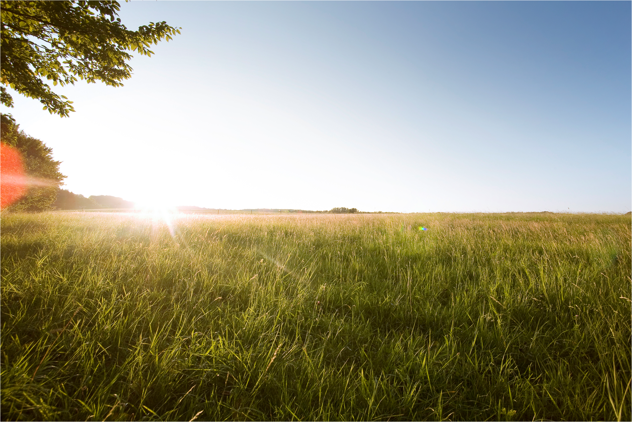
Sagenhaft – Donautal Panoramawanderweg
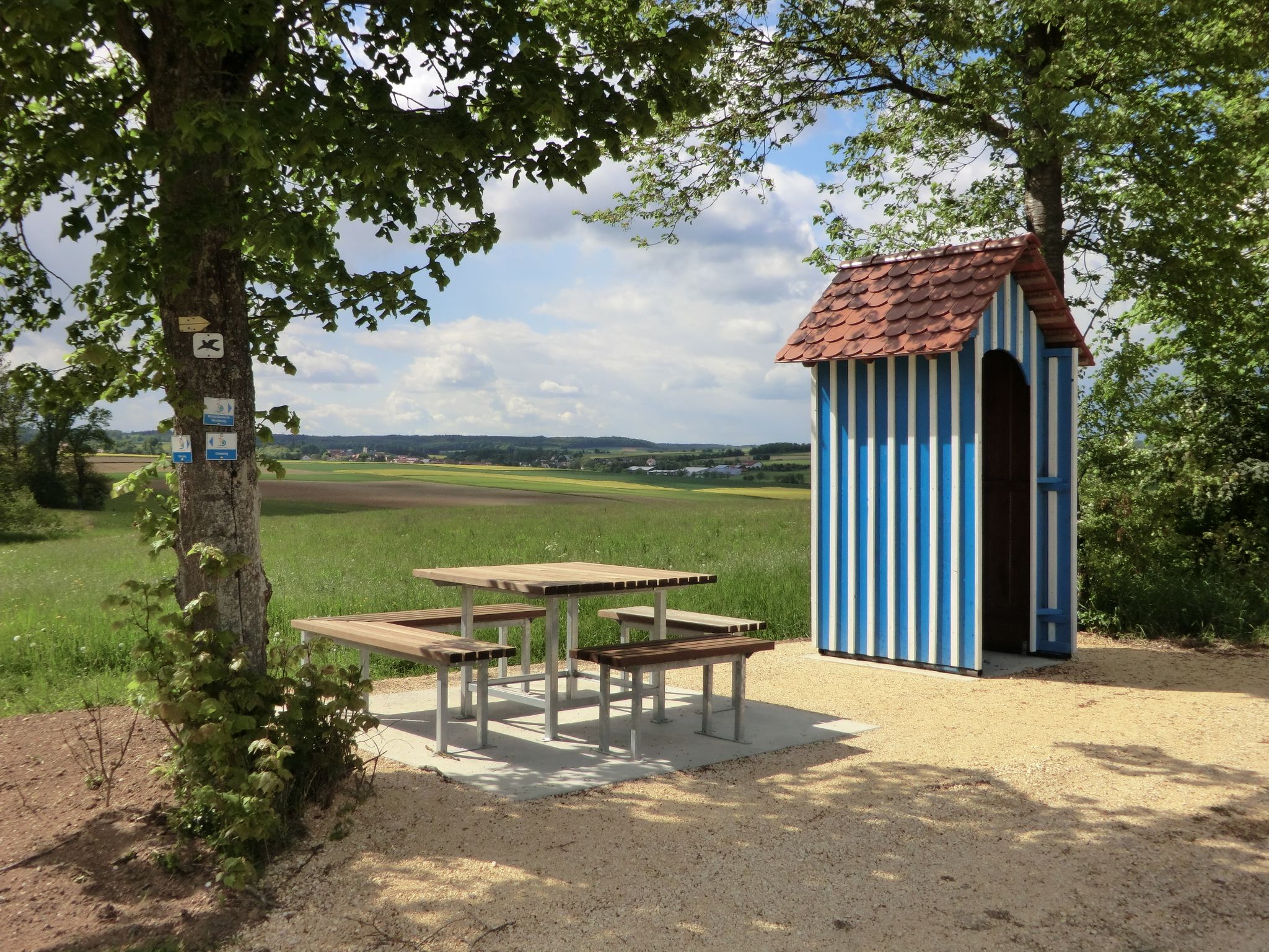
Grenzweg – Donautal Panoramawanderweg
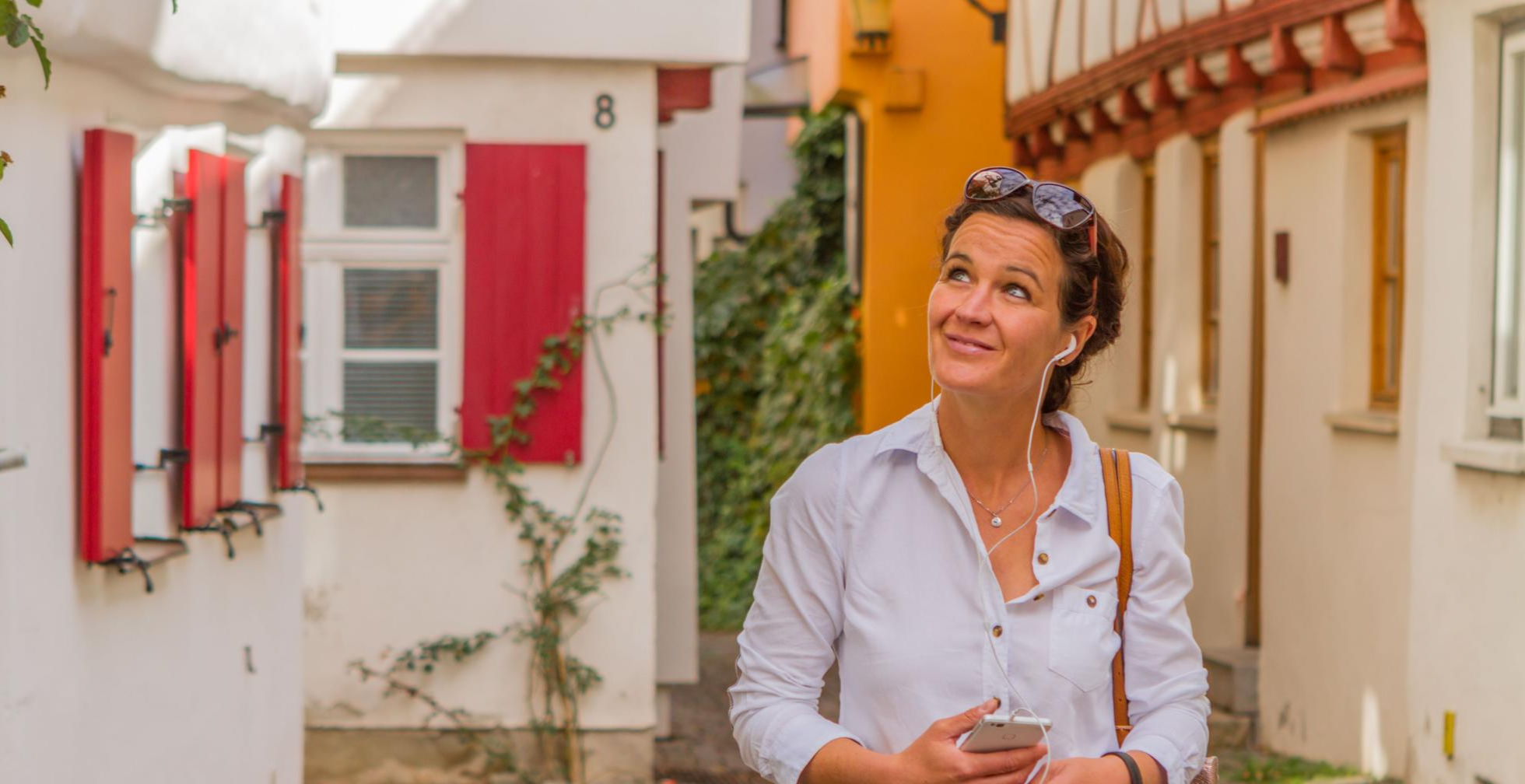
Hör hin, sieh mehr! – Lauschtouren in Bayerisch-Schwaben
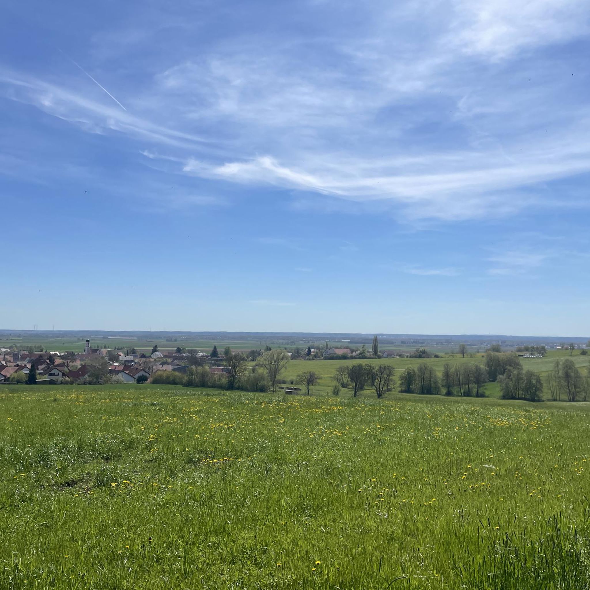
Hiking around Lutzingen
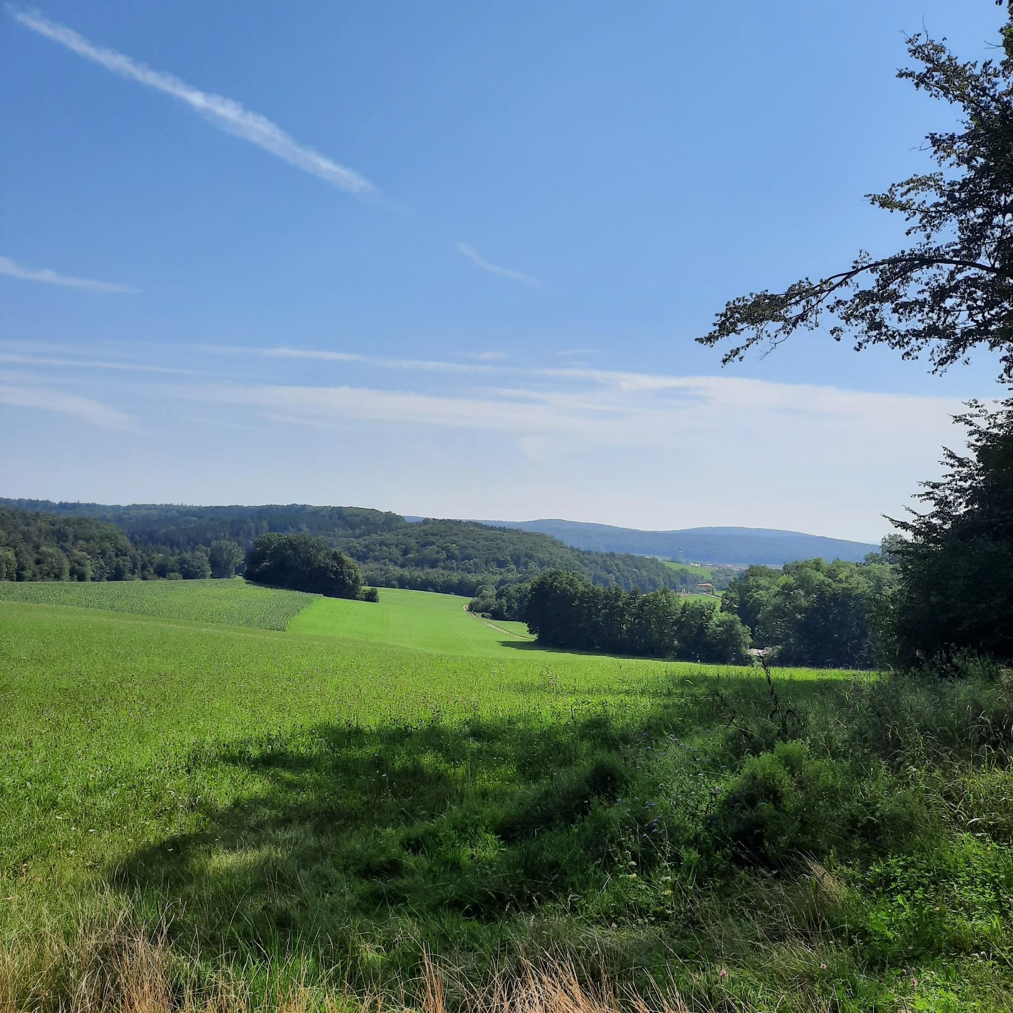
Road Cycling Routes around Lutzingen
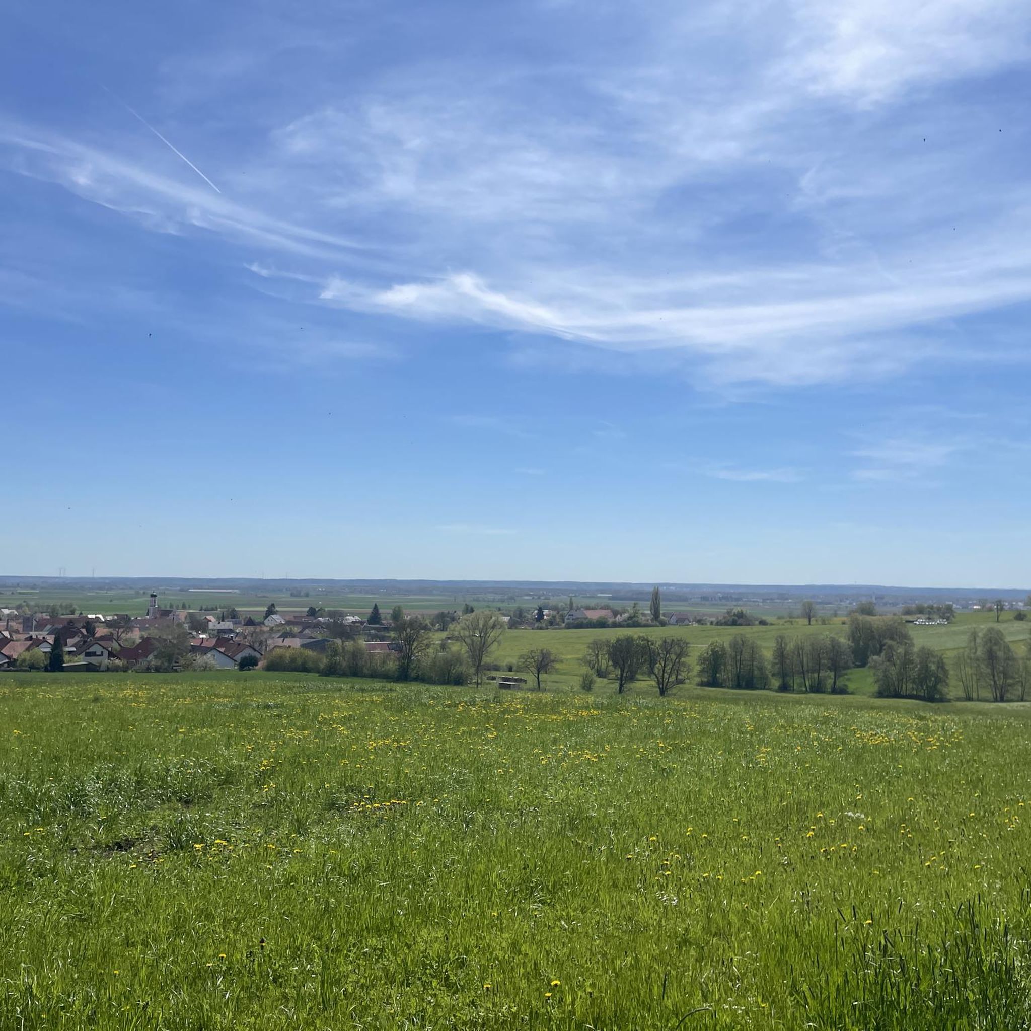
MTB Trails around Lutzingen
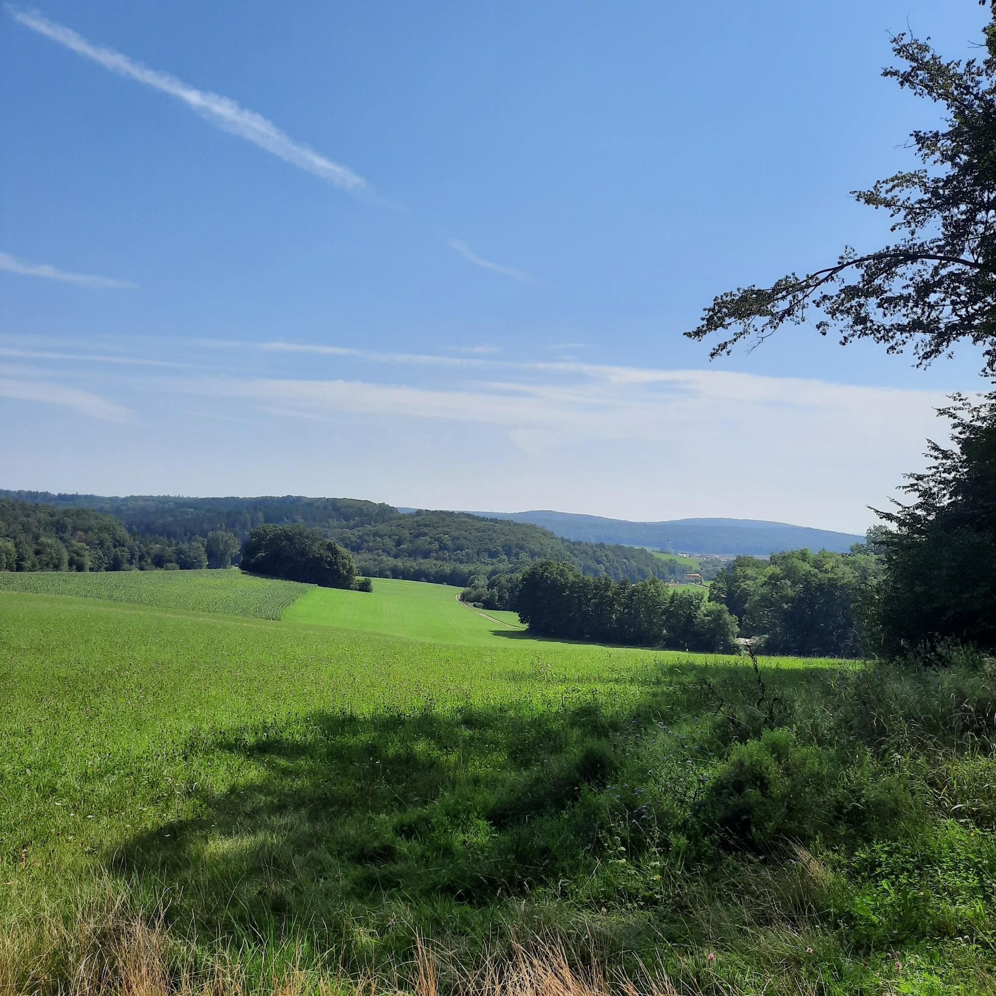
Running Trails around Lutzingen
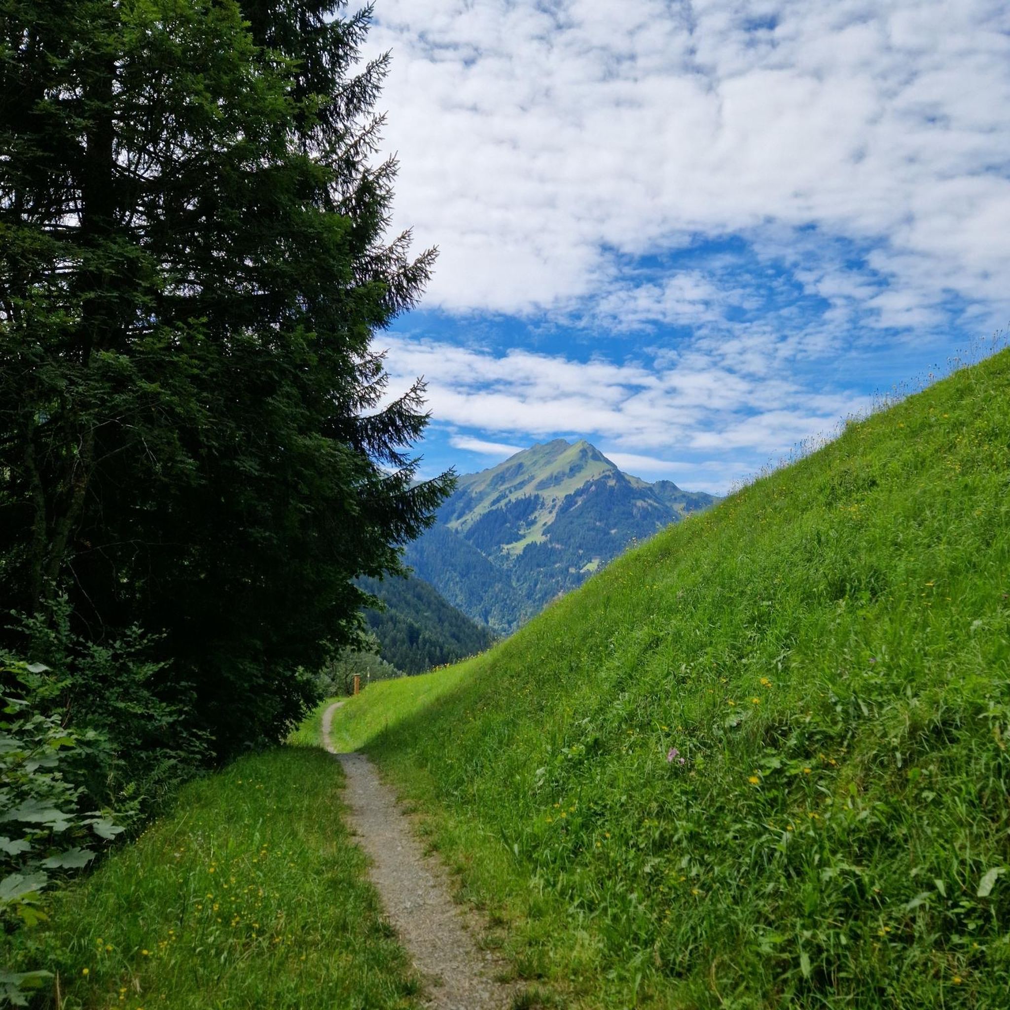
Gravel biking around Lutzingen
Other adventures around Lutzingen


Tips from the Community

Great route, easy to drive
0
0

A highlight on the hill. Enjoy the view one last time before the descent.
0
0


The Goldbergalm is a highly recommended destination: the great view and the very good cuisine + friendly service team.
0
0

Three territories – the Duchy of Bavaria, the County of Öttingen, and that of Prince Thurn and Taxis – met here.
0
0

Scenically magnificent, this view of the stately town...
0
0
Here is a true gem of a pilgrimage church... a very cozy place...
0
0

Inconspicuous from the outside but beautiful on the inside.
0
0
Frequently Asked Questions
How many touring cycling routes are available around Lutzingen?
There are over 540 touring cycling routes in the Lutzingen area. This includes a wide variety of options, with more than 250 easy routes, 220 moderate routes, and 70 more challenging trails, catering to all skill levels.
What is the best time of year for touring cycling in Lutzingen?
The most pleasant times for touring cycling in Lutzingen are generally from spring through early autumn (April to October). During these months, the weather is typically mild, and the agricultural landscapes and river valleys are at their most scenic. Winter cycling is possible, but routes may be affected by colder temperatures or snow.
Are there easy touring bike trails in Lutzingen suitable for beginners or families?
Yes, Lutzingen offers many easy touring cycling routes perfect for beginners and families. For instance, the View of Unterliezheim – New Cycle Path loop from Unterliezheim is an easy 11.1-mile (17.9 km) path that follows a new cycle path, offering a smooth ride. Another great option is the Schloss Schwenningen – Gremheim Church loop from Höchstädt an der Donau (VGem), an 11.4-mile (18.4 km) trail with minimal elevation changes.
Are there any challenging bike trails near Lutzingen for experienced cyclists?
While Lutzingen's terrain is generally flat to gently rolling, some routes offer more elevation gain for a greater challenge. The View of Bissingen Castle – Kesseltal Near Untermagerbein loop from Höchstädt an der Donau (VGem) is a moderate 24.0-mile (38.7 km) route with over 400 meters of elevation gain, providing a more demanding experience with scenic views.
What kind of scenery can I expect on touring cycling routes in Lutzingen?
Touring cycling routes around Lutzingen primarily traverse the flat to gently rolling terrain of the Danube river valley. You can expect to see expansive agricultural fields, charming small villages, and occasional wooded sections. Many routes follow established cycle paths along the river, offering picturesque views of the natural landscape and historical landmarks.
Are there circular bike routes around Lutzingen?
Yes, many of the touring cycling routes in Lutzingen are designed as loops, allowing you to start and end at the same point. Examples include the City of Dillingen – Danube River loop from Höchstädt an der Donau (VGem), which takes you along the Danube, and the shorter Linden Tree loop from Höchstädt an der Donau (VGem).
What are some interesting landmarks or natural attractions to see along the routes?
The Lutzingen area offers several points of interest. You might encounter historical sites like the Drei Steine Historical Boundary Marker or natural features such as the Karlsbrunnen Fountain. Lakes like the Western shore of the Härtsfeldsee and the Prälatenweiher also provide scenic stops. For more information, you can explore the Natural Monuments around Lutzingen guide.
What do other touring cyclists enjoy the most about touring cycling in Lutzingen?
The touring cycling routes in Lutzingen are highly rated by the komoot community, with an average score of 4.6 stars from over 1,600 reviews. Cyclists often praise the well-maintained, mostly flat paths, the peaceful agricultural scenery, and the accessibility of routes suitable for various fitness levels. The presence of historical landmarks and charming villages along the way also adds to the enjoyable experience.
Are there any specific bike parks or mountain biking trails near Lutzingen?
While this guide focuses on touring cycling, there are options for other cycling disciplines nearby. For those interested in more technical riding, you can find bike parks such as the Goldburg Bike Trail or the Bike Park Geopark Ries. There's also the Lutzingen Pump Track for skill development. More details can be found in the Bike Parks around Lutzingen guide.
How long does it take to cycle from Lutzingen to Dillingen?
The cycling time from Lutzingen to Dillingen depends on your starting point in Lutzingen and your pace. A route like the City of Dillingen – Danube River loop from Höchstädt an der Donau (VGem), which includes Dillingen, is about 19.2 miles (30.9 km) and typically takes around 1 hour 54 minutes to complete, offering a good estimate for a direct ride.
Most popular routes around Lutzingen
Most popular attractions around Lutzingen

Get inspired with the komoot mobile app


Explore more
Browse the best Cycling routes in other regions.
