The best hikes from bus stations around Oberalpsee
4.7
(1518)
11,253
hikers
49
hikes
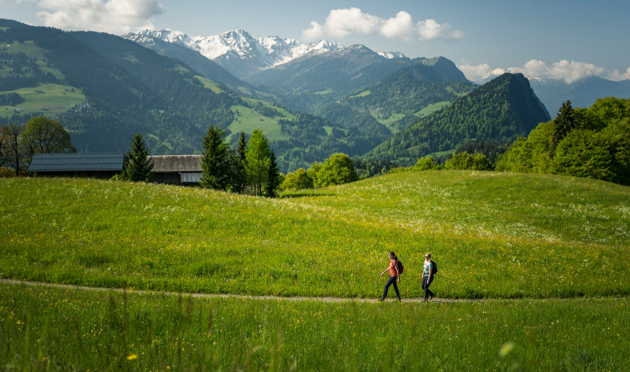
Bus station hiking trails around Oberalpsee are set within the Swiss Alps, characterized by high mountain passes, alpine lakes, and the nascent stages of the Rhine River. The region features diverse terrain, from lush meadows with wildflowers to scree-strewn slopes and impressive peaks like Piz Tuma and Badus. Hikers can explore paths around the turquoise-blue Oberalpsee and discover high-moor lakes and wetlands. The landscape offers a range of elevations, providing both gentle ascents and more challenging routes.
Best bus station…
Last updated: August 8, 2026
5.0
(2)
23
hikers
5.54km
01:47
240m
240m
Easy hike. Great for any fitness level. Easily-accessible paths. Suitable for all skill levels.
5
hikers
4.76km
01:35
230m
230m
Easy hike. Great for any fitness level. Easily-accessible paths. Suitable for all skill levels.

Sign up for free
4.8
(6)
24
hikers
11.1km
03:41
500m
500m
Moderate hike. Good fitness required. Mostly accessible paths. Sure-footedness required.
5.0
(4)
18
hikers
7.32km
02:24
300m
300m
Moderate hike. Good fitness required. Mostly accessible paths. Sure-footedness required.
4.3
(3)
25
hikers
4.78km
01:28
180m
180m
Easy hike. Great for any fitness level. Easily-accessible paths. Suitable for all skill levels.
Get access to more routes and recommendations from other explorers.
Sign up for free
Already have an account?
Our route recommendations are based on thousands of hikes, rides, and runs completed by other people on komoot.
Start today with a free account
Your next adventure awaits.
Login or Signup
Popular around Oberalpsee
Other adventures around Oberalpsee


Tips from the Community

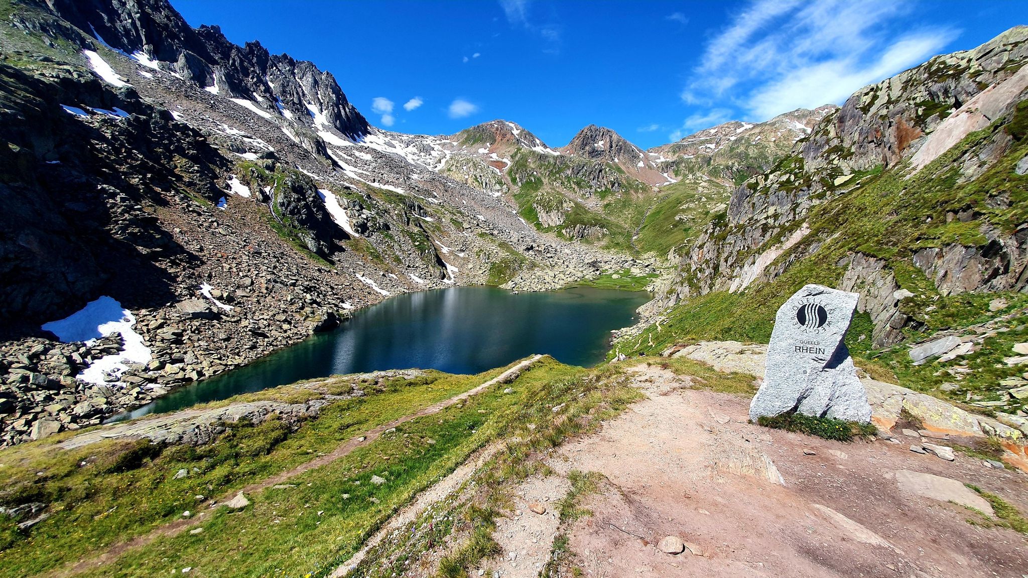
The lighthouse stands on the Oberalp Pass, the Tomasee (Lai da Tuma) is nearby (you can hike there and back on a new path) is the actual beginning of the Rhine.
1
0

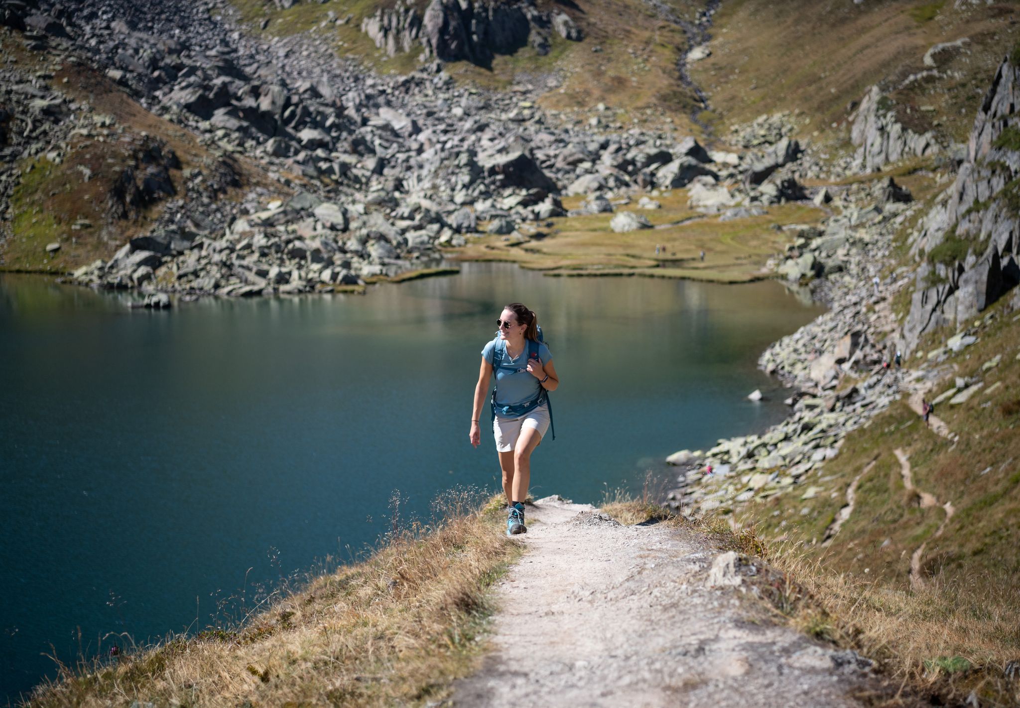
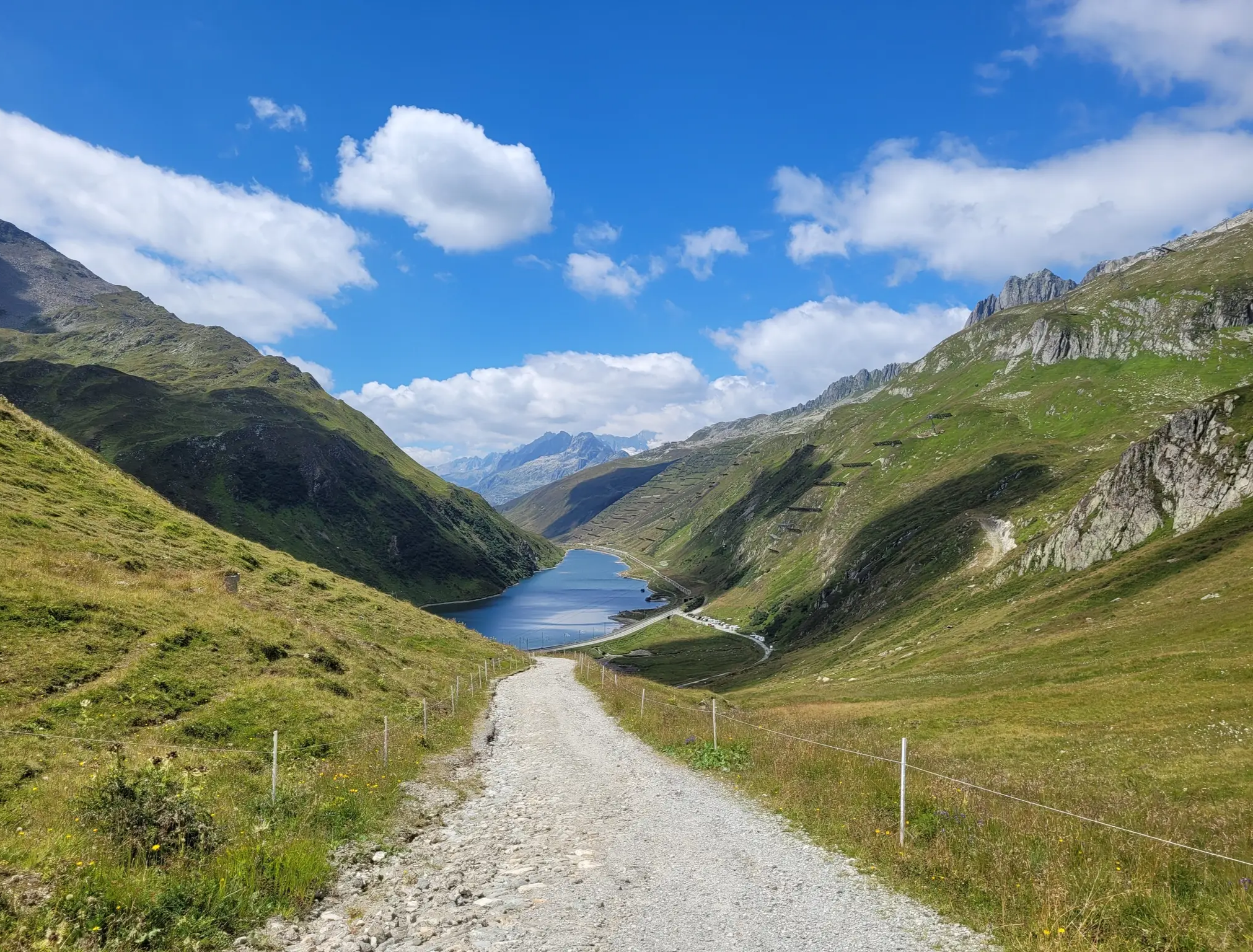
The Oberalpsee is located at an altitude of 2,028 meters directly on the Oberalp Pass between Uri and Graubünden. The clear mountain lake is the source of the Vorderrhein and a popular destination for hikers. Surrounded by alpine landscape, it invites you to linger, take photos, and enjoy the impressive mountain scenery.
7
0

beautiful valley to spend time outdoors
0
0

The 2,148-meter-high Tiarms Pass takes you from the Oberalp Pass to the Val Val in the Surselva region (or vice versa). At the summit, which is a good 100 meters above the Oberalp Pass, you also have a magnificent view of Lake Oberalp and the hustle and bustle below. The pass is particularly worthwhile in summer, as a wide variety of alpine flora can be admired here.
0
0


Oberalp Pass (2,044 m). The highest lighthouse in the world is located here. It is a replica of the "Hoek van Holland" lighthouse, which served for 70 years (from 1900 to 1970) at the mouth of the Rhine in Rotterdam. It serves as a reminder that the source of the Rhine is not far from the Oberalp Pass: it is located at Lake Toma (Lai da Tuma).
0
0

Mini lighthouse, as a funny idea to mark the beginning of the Rhine.
1
0
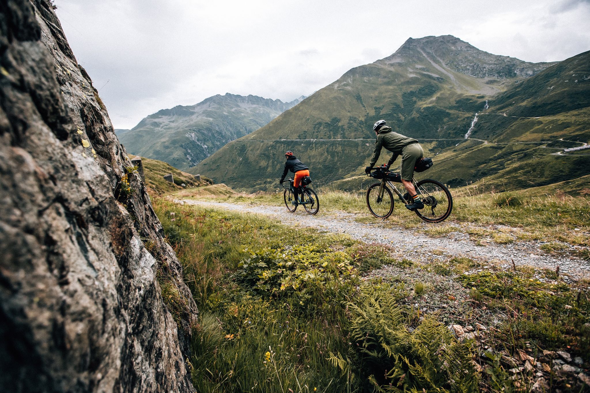
Attention: If you are on a bike, take this trail just below the chapel; the one further up has steps and is intended for hikers!
1
0
Frequently Asked Questions
How many bus-accessible hiking trails are there around Oberalpsee?
There are over 45 bus-accessible hiking trails around Oberalpsee. These routes cater to various skill levels, including easy, moderate, and challenging options, making it simple to explore the stunning alpine landscape using public transport.
What is the best time of year to hike around Oberalpsee from a bus station?
The best time to hike around Oberalpsee is typically from late spring to early autumn (June to October). During these months, the trails are generally free of snow, and the alpine flora, such as pink alpine roses and gentian, are in full bloom. The weather is usually pleasant, offering clear views of the turquoise lake and surrounding peaks.
Are there easy bus-accessible hikes suitable for beginners or families around Oberalpsee?
Yes, Oberalpsee offers many easy bus-accessible hikes perfect for beginners and families. Over 20 of the available routes are rated as easy. These trails often feature gentle ascents and lead through lush meadows, providing picturesque views without demanding strenuous effort. Many routes offer picnic spots along the lake shores.
Can I find circular hiking routes accessible from bus stations near Oberalpsee?
Absolutely. Many of the bus-accessible trails around Oberalpsee are circular, allowing you to start and end your hike at the same bus stop. For example, the Tschamut Village – Milez Point, 1876 loop from Rein da Curnera is an easy circular route, and the View of Milez and Tegia Palas – Oberalp Pass Lighthouse loop from Tujetsch offers a moderate circular option with diverse scenery.
Are the bus station hiking trails around Oberalpsee dog-friendly?
Yes, the trails around Oberalpsee are generally dog-friendly, making it a great destination for hiking with your canine companion. Remember to keep your dog on a leash, especially near grazing livestock and wildlife, and always carry water for both yourself and your dog. The natural environment, with its open spaces and mountain streams, is ideal for dogs.
What natural features or landmarks can I expect to see on bus-accessible hikes near Oberalpsee?
Bus-accessible hikes around Oberalpsee offer a wealth of natural beauty and unique landmarks. You'll encounter the stunning turquoise-blue Oberalpsee itself, surrounded by majestic peaks like Piz Tuma and Badus. Many trails lead close to the source of the Rhine River at Lake Toma, and you can also visit the iconic Lighthouse at Oberalp Pass, a symbol of the Rhine's origin.
How can I reach the starting points of these hikes using public transport?
The Oberalpsee region is exceptionally well-served by public transport, making it ideal for bus-accessible hikes. The Matterhorn Gotthard Railway runs directly over the Oberalp Pass, and bus services connect various points, including the Oberalp Pass summit. You can easily reach trailheads from bus stops like Oberalp Pass, Tschamut, or Milez.
Are there places to eat or rest near the bus stops after a hike?
Yes, several amenities are available near the main bus stops, particularly at Oberalp Pass. You'll find restaurants and cafes where you can enjoy a meal or a refreshing drink after your hike. The area also offers numerous scenic picnic spots around Oberalpsee for those who prefer to bring their own provisions.
What is the general difficulty level of bus station hikes around Oberalpsee?
The bus station hikes around Oberalpsee offer a good mix of difficulty levels. You'll find over 20 easy routes, around 15 moderate trails, and about 10 more challenging options. This variety ensures that hikers of all experience levels can find suitable routes, from leisurely strolls to more demanding alpine tours.
What do other hikers enjoy most about the bus-accessible trails around Oberalpsee?
The bus-accessible trails around Oberalpsee are highly rated by the komoot community, with an average score of 4.66 stars. Reviewers often praise the breathtaking panoramic views, the crystal-clear waters of Oberalpsee, and the unique experience of hiking near the source of the Rhine. The accessibility by public transport and the well-maintained paths are also frequently highlighted.
Can you recommend a moderate bus-accessible hike with good views?
For a moderate bus-accessible hike with excellent views, consider the View of Milez and Tegia Palas – Tegia las Palas loop from Tujetsch. This route offers varied terrain and takes you through scenic landscapes, providing rewarding vistas of the surrounding mountains and valleys. It's a great option for those looking for a bit more challenge than an easy stroll.
Is there a bus-accessible hike that includes the famous Oberalp Pass Lighthouse?
Yes, you can definitely include the unique Oberalp Pass Lighthouse in a bus-accessible hike. The View of Milez and Tegia Palas – Oberalp Pass Lighthouse loop from Tujetsch is a moderate circular route that passes by this distinctive landmark, offering a great photo opportunity and a symbolic connection to the Rhine River's journey.
Most popular routes around Oberalpsee

Get inspired with the komoot mobile app


Explore more
Browse the best Hikes in other regions.
