The best traffic-free bike rides around Leivonmäen kansallispuisto
4.2
(4)
72
riders
3
rides
No traffic touring cycling routes around Leivonmäen kansallispuisto traverse a diverse landscape characterized by esker ridges, extensive mires, and clear lakes. The park's terrain includes varied forest types, from open pine forests on eskers to spruce-dominated areas. Cycling paths often follow forest trails, cart paths, and sandy roads, offering a mix of surfaces. This region provides routes that showcase the unique geological formations and wetland ecosystems of Central Finland.
Best no traffic touring cycling routes around Leivonmäen kansallispuisto
- The most…
Last updated: July 26, 2026
5.0
(1)
4
riders
38.5km
02:30
220m
220m
Moderate bike ride. Good fitness required. Mostly paved surfaces. Suitable for all skill levels.
4.5
(2)
65
riders
21.1km
02:00
90m
90m
Hard bike ride. Great for any fitness level. You may need to push your bike for some segments of this route.

Sign up for free
3.0
(1)
3
riders
24.3km
01:56
160m
160m
Moderate bike ride. Good fitness required. Mostly paved surfaces. Suitable for all skill levels.
Our route recommendations are based on thousands of hikes, rides, and runs completed by other people on komoot.
Start today with a free account
Your next adventure awaits.
Login or Signup
Popular around Leivonmäen kansallispuisto
Other adventures around Leivonmäen kansallispuisto

Tips from the Community

The Koskikara Trail (3,5 kilometers) starts from Rutalahti, near Koskikara School, and follows the Rutajoki River for most of its length. Along the way, hikers can enjoy both rushing rapids and gently flowing river sections. The trail starts at Rutalahti at the former Koskikara school (street address: Koskelantie 128). The trail is marked with blue paint markers.
0
0

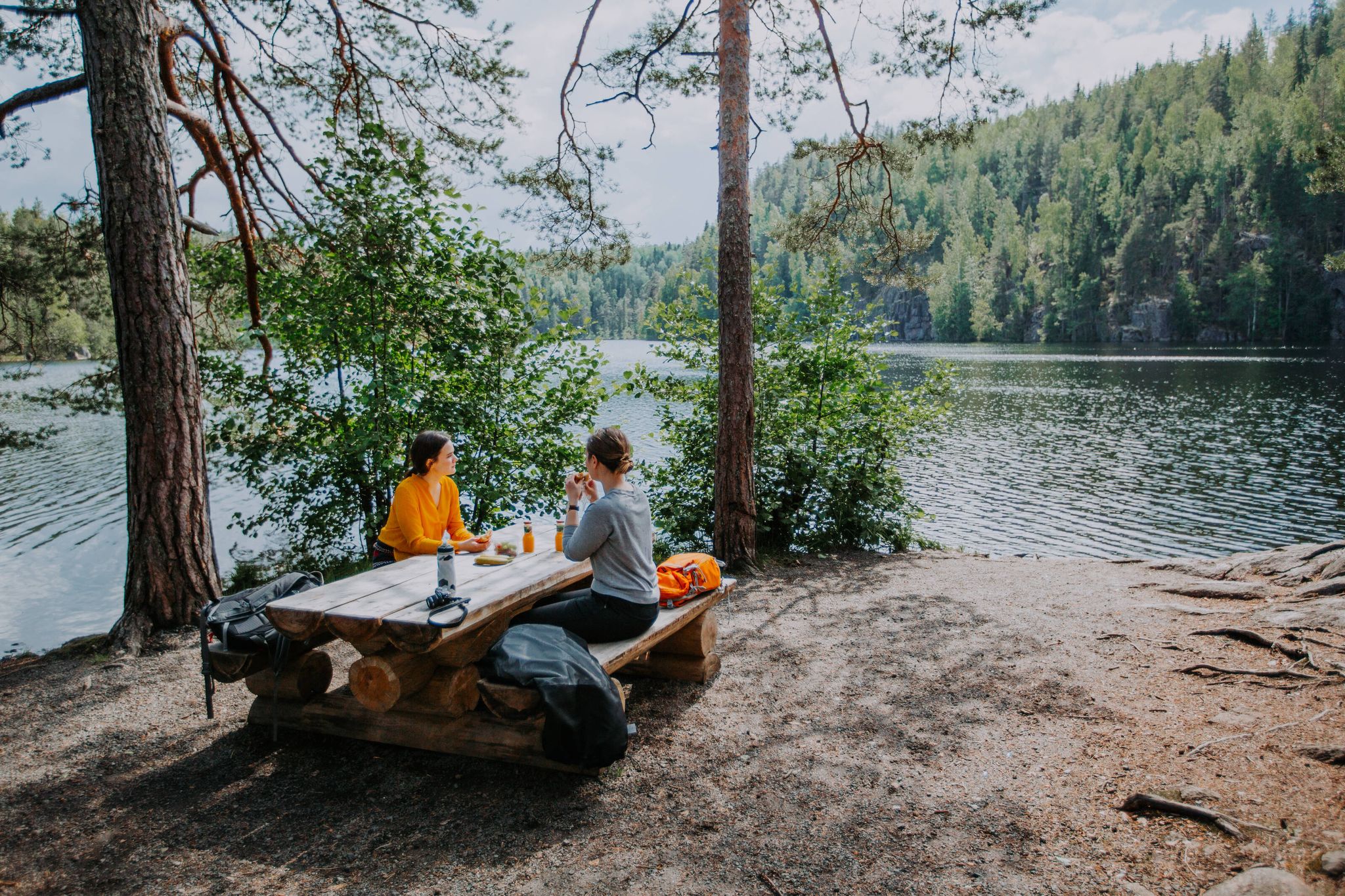
Leivonmäki's forests, lakes and marshes can be explored on family-friendly paths, including enticing duckboard trails. Enjoy your picnic in delightful scenery by the lakeside or up on an esker ridge.
0
0
Shelter with fireplace. Wood and toilet 100 m away.
1
0
Directly at the lake is a refuge with a fireplace and toilet
0
0

Rutajärvi is a lake located in Finland's Pirkanmaa region. Rutajärvi is part of a chain of lakes and rivers that includes Nuutajärvi, Rutajärvi, and Kortejärvi in Urjala. These waterways eventually connect to Lake Vanajavesi in Viiala.
0
0

Shelter with fireplace. Wood and toilet 100 m away.
0
0

Parking lot with café (open 11am-3pm) and toilets
0
0
Frequently Asked Questions
How many no-traffic touring cycling routes are available in Leivonmäki National Park?
There are three dedicated no-traffic touring cycling routes within Leivonmäki National Park featured in this guide. These routes offer a mix of moderate and challenging terrain, allowing you to explore the park's diverse landscapes away from vehicle traffic.
What kind of landscapes can I expect to see on these routes?
Leivonmäki National Park is known as a 'microcosm of Central Finland,' offering a rich tapestry of natural features. You'll cycle through light-filled esker forests, past extensive mires like Haapasuo, and alongside the clear waters of Lake Rutajärvi and the rapids of the Rutajoki River. The routes showcase the park's unique geological formations, including eskers and 'suppa' holes formed during the Ice Age.
Are there any family-friendly no-traffic cycling options?
While the routes in this guide are rated moderate to difficult, the park's general mountain biking trail, which is part of the Leivonmäki Mountain Biking Trail, is described as adaptable for various skill levels, including beginners. For families, focusing on the easier sections of this trail or exploring the wider network of cart paths and sandy roads can provide a pleasant, traffic-free experience. Always consider the specific difficulty of each route before setting out with children.
What is the best time of year for touring cycling in Leivonmäki National Park?
The best time for touring cycling in Leivonmäki National Park is typically from late spring to early autumn (May to September). During these months, the weather is generally mild, trails are dry, and the natural scenery is at its most vibrant. Autumn offers beautiful fall foliage, while summer provides longer daylight hours. Winter cycling is possible, especially with fatbikes, but requires specific gear and awareness of snow and ice conditions.
Are there any challenging no-traffic routes for experienced touring cyclists?
Yes, the Leivonmäki Mountain Biking Trail is rated as difficult and includes sections with duckboards, challenging ascents and descents, rocks, and tree roots, offering a more demanding experience for those seeking a greater challenge. The other routes, such as the Rutalahti – Leivonmäki loop from Harjunlahti, are moderate but still provide a good workout with varied terrain.
What are some notable natural features or landmarks I might encounter?
You'll find several unique features. The Joutsniemi esker, extending into Lake Rutajärvi, is a prominent landmark. The Haapasuo Mire offers a glimpse into untouched wetland ecosystems, and the Rutajoki River features 'white-water rapids' that can be enjoyed from nearby trails. Keep an eye out for 'suppa' holes, geological formations left by the Ice Age, adding to the park's distinctive character.
Can I bring my dog on the no-traffic cycling routes?
Leivonmäki National Park is generally dog-friendly, but dogs must be kept on a leash at all times to protect wildlife and ensure the safety of other visitors. Always check the specific rules and regulations of the national park regarding pets before your visit, especially concerning sensitive areas or bird nesting seasons.
Are there any circular no-traffic routes available?
Yes, both the Rutalahti – Leivonmäki loop from Harjunlahti (38.45 km) and the Leivonmäki – Rutalahti loop from Selänpohja P (24.25 km) are circular routes, allowing you to start and end your journey at the same point without retracing your steps. This is ideal for touring cyclists who prefer a continuous exploration of the landscape.
What do other touring cyclists enjoy most about cycling in Leivonmäki National Park?
The area is highly rated by the komoot community, with an average score of 4.33 stars. Reviewers often praise the park's diverse and beautiful natural scenery, the quiet and traffic-free nature of the routes, and the opportunity to experience a true 'microcosm of Central Finland' with its unique eskers, mires, and lakes.
Where can I park my car when visiting Leivonmäki National Park for cycling?
Leivonmäki National Park has several designated parking areas. For example, the Leivonmäki – Rutalahti loop from Selänpohja P specifically mentions starting from Selänpohja P, indicating a parking facility there. It's advisable to check the national park's official website or visitor information for detailed maps and locations of all available parking lots and trailheads.
Is public transport an option to reach the no-traffic cycling routes?
While Leivonmäki National Park is accessible, public transport options directly to the trailheads might be limited. It's generally recommended to check local bus schedules or consider driving to the park. Some longer regional cycling routes integrate the park, but for direct access to the no-traffic trails, personal transport or a combination of public transport to a nearby town and then cycling to the park entrance is often the most practical approach.

Get inspired with the komoot mobile app


Explore more
Browse the best Cycling routes in other regions.
