The best hikes from bus stations around Réserve naturelle des Hauts de Chartreuse
4.5
(3532)
37,055
hikers
444
hikes
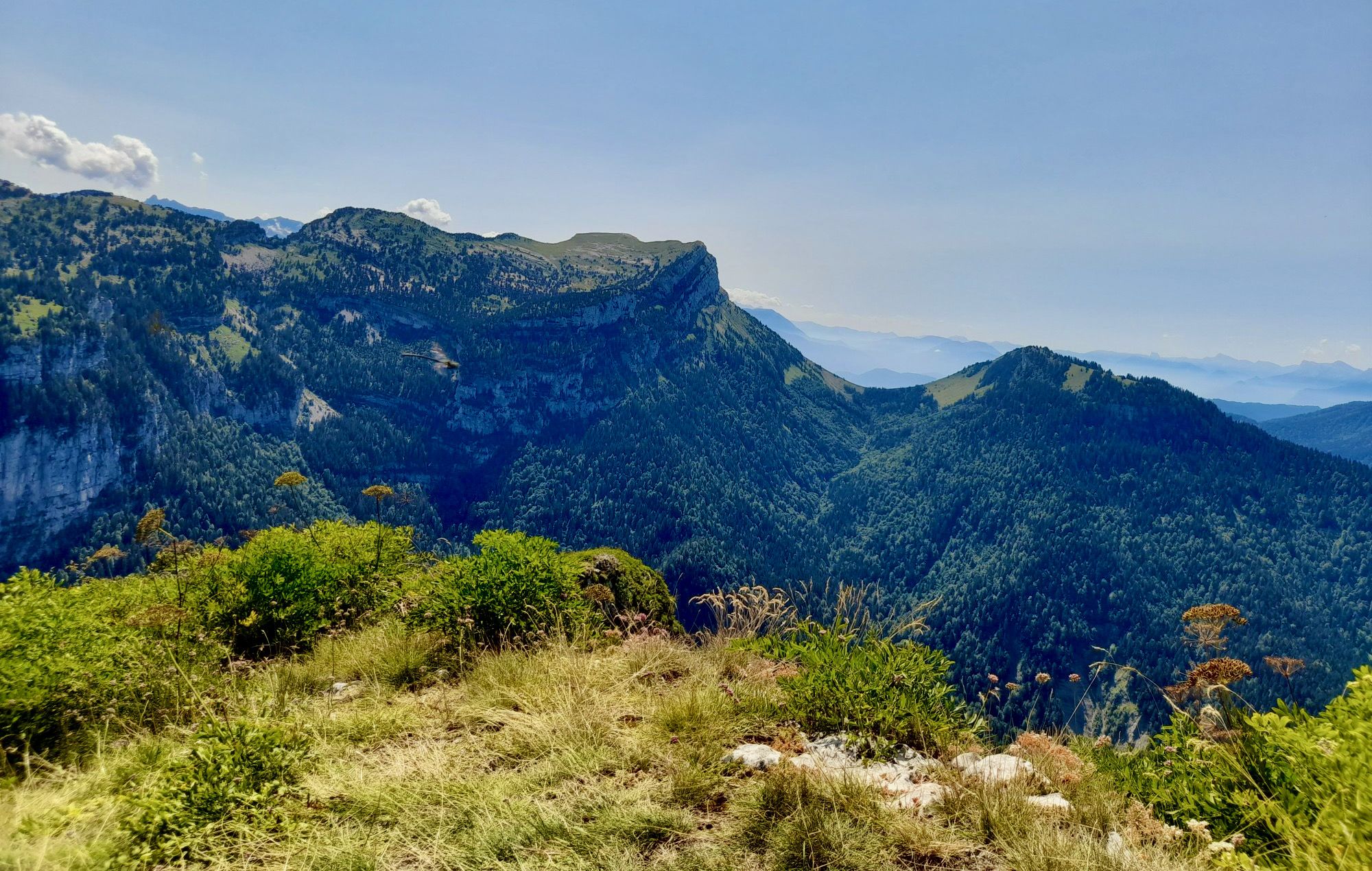
Bus station hiking trails around Réserve naturelle des Hauts de Chartreuse navigate a vast rocky expanse characterized by high cliffs, karstic formations, and diverse mountain and subalpine environments. The landscape features limestone and marl, with visible scree and lapiaz, alongside forests, alpine pastures, and rocky walls. Notable peaks like Mont Granier and Dent de Crolles define the dramatic topography of the region. This area offers a network of trails accessible for exploring its natural features.
Best bus station hiking trails…
Last updated: May 16, 2026
4.4
(40)
424
hikers
10.7km
05:20
870m
870m
Hard hike. Very good fitness required. Mostly accessible paths. Sure-footedness required.
4.6
(12)
166
hikers
9.67km
05:09
870m
870m
Hard hike. Very good fitness required. Mostly accessible paths. Sure-footedness required.

Sign up for free
4.3
(12)
127
hikers
14.2km
06:58
1,120m
1,120m
Hard hike. Very good fitness required. Sure-footedness, sturdy shoes and alpine experience required.
4.0
(2)
68
hikers
12.3km
05:46
910m
910m
Hard hike. Very good fitness required. Mostly accessible paths. Sure-footedness required.
12
hikers
14.4km
06:59
1,050m
1,050m
Hard hike. Very good fitness required. Sure-footedness, sturdy shoes and alpine experience required.
Get access to more routes and recommendations from other explorers.
Sign up for free
Already have an account?
Our route recommendations are based on thousands of hikes, rides, and runs completed by other people on komoot.
Start today with a free account
Your next adventure awaits.
Login or Signup
Popular around Réserve naturelle des Hauts de Chartreuse
Other adventures around Réserve naturelle des Hauts de Chartreuse

Tips from the Community

The cross of the Aulp du seuil is located at 1825m above the cirque and marks the entrance to the high plateaus.
0
0
dangerous passage to go back down to the strap of the threshold aulp.
0
0

Beautiful pass. Relatively steep climbs from the valley. There are rest stops at the top.
0
0
Beautiful rock formation. Here is one of the steepest sections
0
0
There's still a lot to do if you want to climb the Dent de Crolles :)
0
0
It's not particularly narrow, so it's easy to cross even with a backpack.
0
0
A stunning summit with views of Mont Blanc. The two climbs from the Col des Ayes are relatively steep, but steel cables are installed at the more dangerous sections. The climb north via the Trou du Glaz is a bit longer and a bit easier. The climb east is a bit steeper and more exposed. The view is good, though.
0
0

Great hike! Make sure you have good shoes with crampons because some slopes are a bit slippery. Magnificent view at the top.
0
0
Frequently Asked Questions
How many bus-accessible hiking trails are available in Réserve naturelle des Hauts de Chartreuse?
There are over 400 hiking routes in the Réserve naturelle des Hauts de Chartreuse that are accessible from bus stations. This includes a wide range of options, with 94 easy, 205 moderate, and 124 difficult trails to choose from.
What kind of natural features can I expect to see on these bus-accessible trails?
The Réserve naturelle des Hauts de Chartreuse is known for its dramatic topography, featuring impressive high cliffs, karstic formations like scree and lapiaz, and extensive cave networks. You'll also encounter diverse mountain and subalpine environments, including forests, alpine pastures, and rocky walls. The area is home to exceptional biodiversity, with rare flora and fauna.
Are there any family-friendly hiking options accessible by bus?
Yes, there are many family-friendly options among the 94 easy routes available. While specific routes depend on the bus stop, many trails offer gentler gradients and shorter distances suitable for families. Always check the route details for elevation gain and distance to ensure it matches your family's capabilities.
Can I bring my dog on the hiking trails in Réserve naturelle des Hauts de Chartreuse?
The Réserve naturelle des Hauts de Chartreuse encourages respectful activities that are compatible with the preservation of its fauna and flora. While dogs are generally permitted on trails, it is crucial to keep them on a leash to protect the diverse wildlife, especially ground-nesting birds and grazing animals in alpine pastures. Always check local signage for any specific restrictions.
Are there circular hiking routes that start and end at bus stations?
Yes, many of the routes are designed as circular walks, allowing you to return to your starting point without needing additional transport. An example of a challenging circular route is the Border France - Savoie – Croix de l'Alpe loop from Sainte-Marie-du-Mont, which offers stunning views.
What are some notable viewpoints or landmarks accessible from bus-friendly trails?
Many trails lead to spectacular viewpoints and landmarks. You can reach the Dent de Crolles, a prominent peak offering expansive views, or the Croix de l'Alpe. The Lance Sud de Malissard also provides a great vantage point. For a challenging hike to a major peak, consider the Ayes Pass – Dent de Crolles loop from Saint-Pancrasse.
What is the best time of year to hike in Réserve naturelle des Hauts de Chartreuse?
The best time to hike is generally from late spring to early autumn (May to October) when the weather is milder and trails are clear of snow. During these months, you can fully appreciate the diverse flora and fauna. Some higher altitude trails may still have snow patches in early spring. Always check local weather conditions before heading out.
Are there any challenging routes for experienced hikers accessible by bus?
Absolutely. The region offers 124 difficult routes. For a demanding hike with significant elevation gain, consider the Marcieu Pass – Aulp du Seuil Cross loop from Saint-Bernard, which takes you through varied terrain and offers rewarding views.
What do other hikers enjoy most about the bus-accessible trails in Réserve naturelle des Hauts de Chartreuse?
The area is highly rated by the komoot community, with an average score of 4.5 stars. Reviewers often praise the stunning, dramatic landscapes, the sense of tranquility due to the reserve being largely accessible only on foot, and the rich biodiversity. Many appreciate the well-maintained trails and the opportunity to immerse themselves in unspoiled nature.
Are there any moderate difficulty routes that offer a good balance of challenge and scenery?
Yes, there are 205 moderate routes available. A great option for a balanced experience is the Marcieu Pass (1,060 m) – Marcieu Pass loop from Saint-Bernard. This route provides significant elevation gain and distance while being manageable for hikers with a reasonable fitness level, offering beautiful scenery along the way.
What are the regulations for hiking and staying overnight in the Réserve naturelle des Hauts de Chartreuse?
The reserve has regulations in place to protect its sensitive environment. Open fires are prohibited, and bivouacking (sleeping outdoors) may have restrictions during certain months. It is essential to practice 'leave no trace' principles, taking all your waste with you. For detailed information on specific regulations, it's advisable to consult the official Chartreuse Regional Natural Park website or the reserve's dedicated page: Réserve naturelle des Hauts de Chartreuse.
Most popular routes around Réserve naturelle des Hauts de Chartreuse
Most popular attractions around Réserve naturelle des Hauts de Chartreuse

Get inspired with the komoot mobile app


Explore more
Browse the best Hikes in other regions.
