The best hikes from bus stations around Parco Naturale del Marguareis
4.5
(3839)
21,872
hikers
10
hikes
Hiking around Parco Naturale del Marguareis offers diverse terrain, characterized by the Ligurian Alps' highest peak, Punta Marguareis, and a significant alpine karst system. The landscape features deep dolines, sculpted limestone fields, and extensive calcareous expanses. Beyond the alpine areas, the park includes vast forests of silver fir, beech, and larch, particularly in the Pesio and Tanaro valleys. This blend of rocky, high-altitude plateaus and dense woodlands provides varied environments for bus station hiking trails.
Best bus station hiking trails…
Last updated: October 13, 2026
1
hikers
18.0km
08:02
1,640m
400m
Hard hike. Very good fitness required. Mostly accessible paths. Sure-footedness required.
1
hikers
13.7km
04:03
410m
410m
Moderate hike. Good fitness required. Easily-accessible paths. Suitable for all skill levels.

4.8
(6)
21
hikers
7.34km
02:28
370m
370m
Moderate hike. Good fitness required. Easily-accessible paths. Suitable for all skill levels.
1
hikers
20.8km
05:47
390m
390m
Hard hike. Very good fitness required. Easily-accessible paths. Suitable for all skill levels.
3.5
(2)
5
hikers
17.2km
05:55
930m
930m
Hard hike. Very good fitness required. Easily-accessible paths. Suitable for all skill levels.
Get access to more routes and recommendations from other explorers.
Already have an account?
Our route recommendations are based on thousands of hikes, rides, and runs completed by other people on komoot.
Start today with a free account
Your next adventure awaits.
Popular around Parco Naturale del Marguareis

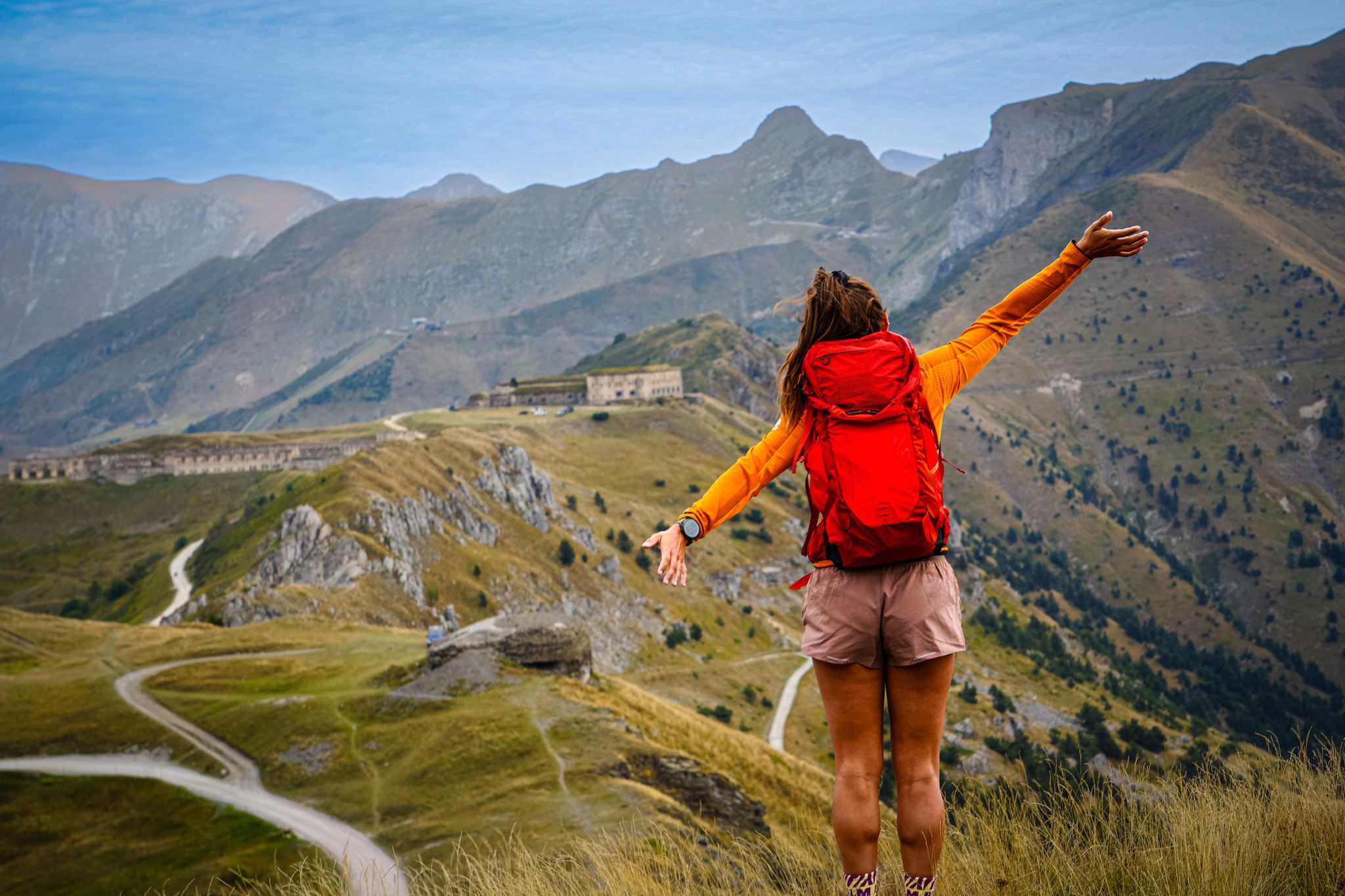
GTA South Piedmont — Hiking in Italy's Occitan valleys
RivierALP – great hikes between the Alps and the Mediterranean
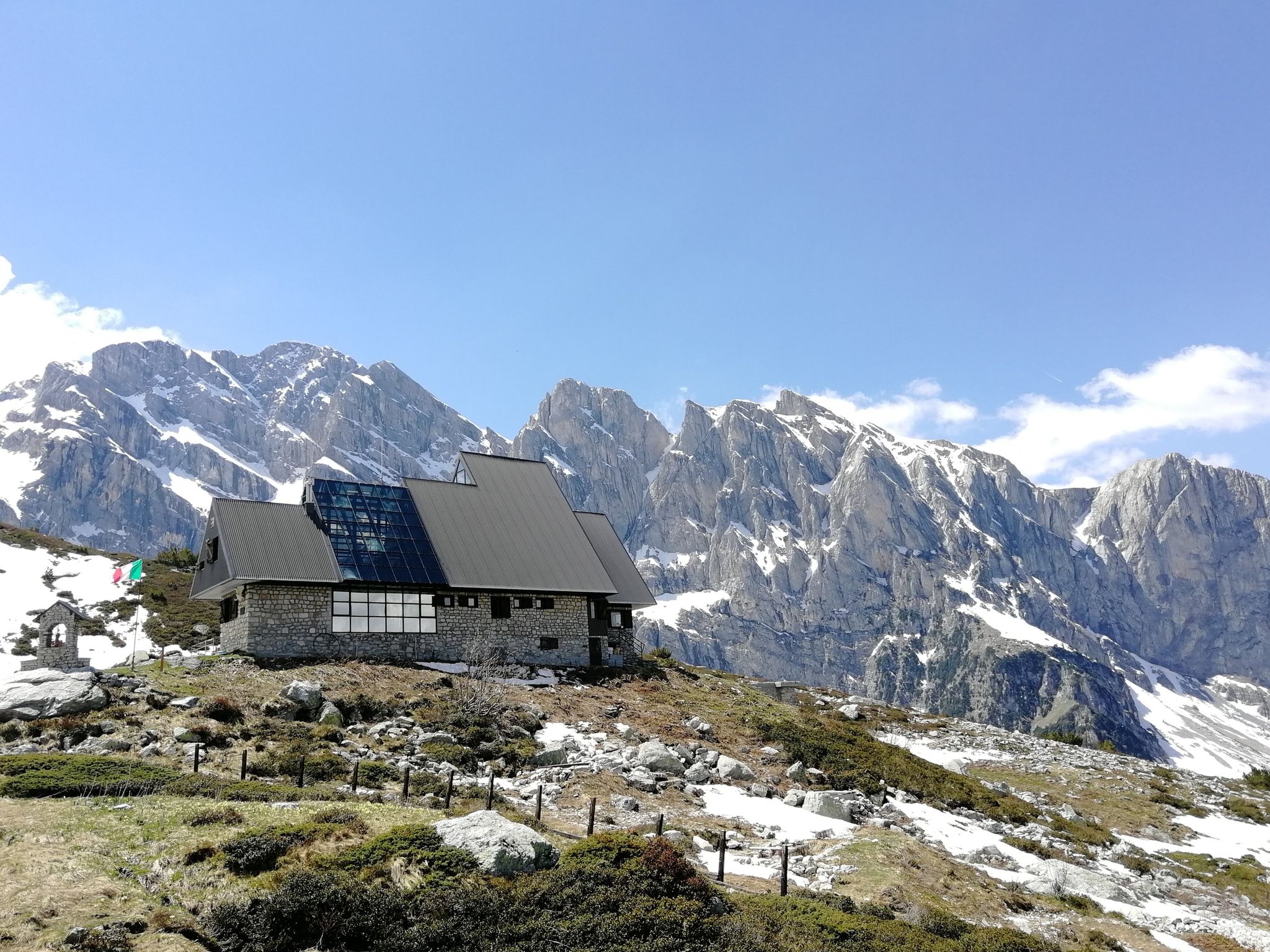
Marguareis Tour – discover caves, ravines and karstic rocks in Italy
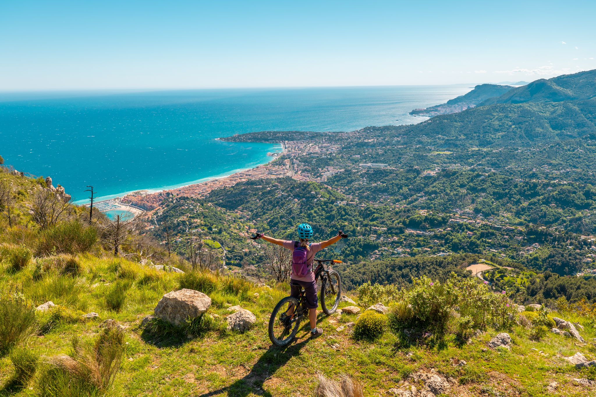
RivierALP – MTB routes from alpine passes to the Riviera
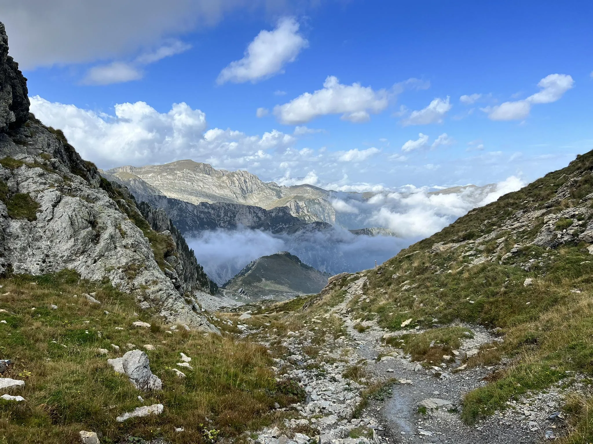
Explore the highest peak in Italy's Ligurian Alps – Giro del Marguareis
Other adventures around Parco Naturale del Marguareis


Tips from the Community

The Col del Pass is a small wild pass in the Ligurian Alps, culminating at about 1,950 meters above sea level, in the Marguareis massif. In the heart of karstic landscapes, alpine pastures and high-altitude forests such as the Bosco delle Navette, it offers an authentic atmosphere, far from the more frequented major routes.
0
0

A Carthusian monastery (from Latin Cartusia) is a monastery of the Carthusian Order. This order is considered one of the strictest and most solitude-oriented orders in the Catholic Church. Unlike in most other monasteries, the monks in a Carthusian monastery do not live in dormitories, but as hermits. Each monk inhabits his own small house with his own garden. The monks spend most of the day silently and alone in their houses, where they pray, study, and work (e.g., gardening or handicrafts). They only come together in the church or refectory for specific services (such as the nightly Matins) and for the common Sunday meal.
0
0


Great view. You can see the Pis del Pesio waterfalls on clear days
0
0

It is the other name to define the Porta Sestrera, which separates the Pesio valley from the Ellero valley
0
0
High point at 2225 metres above sea level that connects the Pesio valley with the Ellero valley, and in about 2 hours of walking the path that passes through here connects the Piero Garelli refuge with the Havis de Giorgio refuge
0
0

Refuge now abandoned a little lower than the Elica hut
0
0
Fountain located on the side of the provincial road, a sign tells us that it is not controlled, but it still seemed to be good
0
0
Frequently Asked Questions
How many bus-accessible hiking trails are available in Parco Naturale del Marguareis?
There are 6 dedicated hiking trails in Parco Naturale del Marguareis that are easily accessible from bus stations. These routes offer a convenient way to explore the region's diverse landscapes without needing a car.
What kind of terrain can I expect on bus-accessible hikes in Parco Naturale del Marguareis?
The bus-accessible hikes in Parco Naturale del Marguareis offer a variety of terrain. You'll encounter trails winding through vast forests of silver fir, beech, and larch, especially in the Pesio and Tanaro valleys. Some routes may also feature glimpses of the park's distinctive karst landscape, characterized by limestone fields and dramatic geological formations, though the bus-accessible routes tend to stick to lower, more forested areas.
Are there easy bus-accessible hikes suitable for beginners or families?
Yes, there is one easy bus-accessible hike perfect for beginners or families. The Forest Trail Near Sorgenti loop from Lurisia is a shorter route with a moderate elevation gain, offering a pleasant experience through the natural surroundings.
Are there circular bus-accessible walks in the region?
Yes, several bus-accessible routes are circular, allowing you to start and end at the same point. Examples include the Forest Trail Near Sorgenti – Chapel of the Olocco loop from Lurisia and the Valle Pesio countryside loop via Big Bench No. 31, which offers a longer, more challenging option.
What is the best time of year for bus-accessible hiking in Parco Naturale del Marguareis?
The best time for hiking in Parco Naturale del Marguareis, including bus-accessible routes, is generally from spring to autumn. Spring offers lush greenery and active waterfalls, while autumn provides vibrant foliage. Summer is also popular, but be prepared for warmer temperatures. Always check local weather conditions before heading out.
Can I find waterfalls on bus-accessible hiking routes?
While the bus-accessible routes themselves might not lead directly to the most prominent waterfalls, the region of Parco Naturale del Marguareis is known for its beautiful cascades. You can find stunning natural monuments like the Saut Waterfalls, Waterfall Gias Fontana, and Pis del Pesio Waterfalls within the wider park area, especially active during spring and fall.
What do other hikers enjoy about bus-accessible trails in Parco Naturale del Marguareis?
The trails in Parco Naturale del Marguareis are highly rated by the komoot community, with an average score of 4.5 stars from over 3,000 ratings. Hikers often praise the diverse natural beauty, from deep forests to glimpses of the unique karst landscape, and the well-maintained paths that make for an enjoyable experience. The convenience of bus access is also a significant plus for many.
Are there any interesting landmarks or points of interest along these bus-accessible routes?
Yes, some routes offer interesting sights. For instance, the Valle Pesio countryside loop passes by Big Bench No. 31, offering a unique photo opportunity and panoramic views. The wider region also features historical sites like the Certosa di Pesio, a Carthusian monastery, and a network of mountain refuges like Piero Garelli Hut and Pian delle Gorre, which are popular destinations within the park.
Can I bring my dog on bus-accessible hikes in Parco Naturale del Marguareis?
Generally, dogs are welcome on trails in Parco Naturale del Marguareis, but it's always best to keep them on a leash, especially in areas where wildlife might be present. The park is home to chamois, deer, and even a stable wolf population. Always check specific trail regulations or local signage for any restrictions, particularly in protected areas or near grazing livestock.
Are there any longer, more challenging bus-accessible hikes for experienced hikers?
For experienced hikers seeking a challenge, the Valle Pesio countryside loop via Big Bench No. 31 is a difficult route spanning over 20 km. Another demanding option is the Pigna Hill – Chapel of the Olocco loop from Lurisia, which features significant elevation gain, offering rewarding views and a strenuous workout.
What kind of wildlife might I encounter on these trails?
Parco Naturale del Marguareis is rich in fauna. While hiking, you might spot chamois, deer, and various bird species. The park also has a stable wolf population, though they are typically elusive. A wildlife observatory near Pian delle Gorre hut provides opportunities for spotting animals, and keeping an eye out on any trail can offer a chance to see local wildlife.
Most popular routes around Parco Naturale del Marguareis
Most popular attractions around Parco Naturale del Marguareis

Get inspired with the komoot mobile app


Explore more
Browse the best Hikes in other regions.
