The best traffic-free bike rides around Gullmarns naturvårdsområde
4.3
(20)
739
riders
19
rides
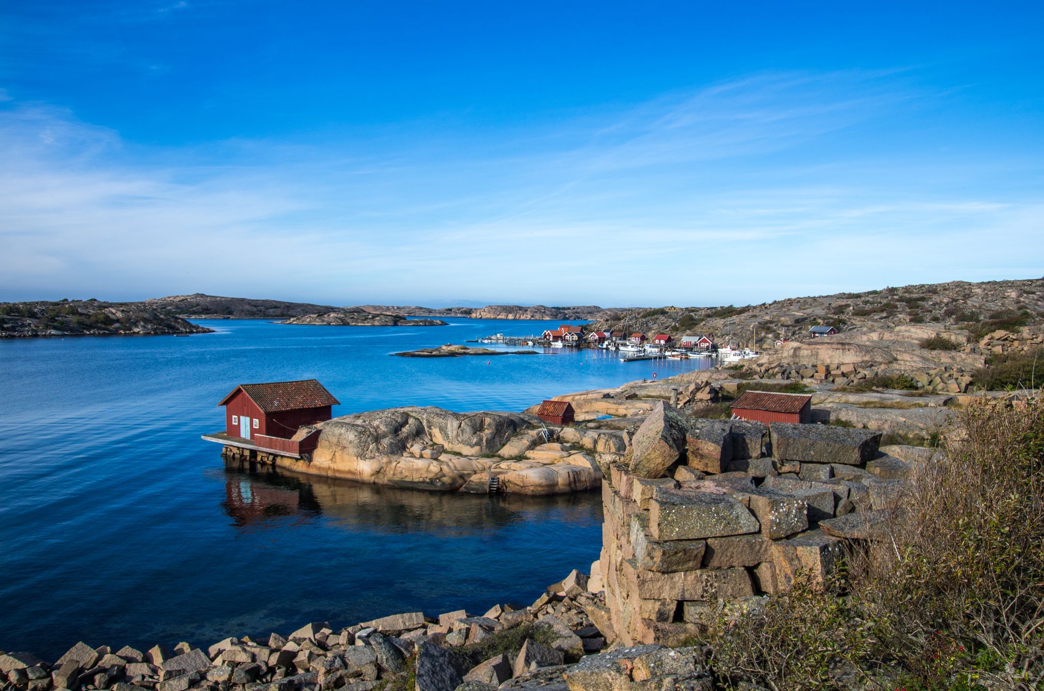
Road cycling around Gullmarns naturvårdsområde offers diverse landscapes centered on Sweden's only true threshold fjord, Gullmarn. The region is characterized by dramatic contrasts, featuring steep cliffs of red granite and grey gneiss, interspersed with sandy beaches and meadows. Road cycling routes in this area often present undulating terrain with hills, providing a varied experience for cyclists. Many routes utilize paved or well-maintained roads, ensuring a smooth ride through scenic environments.
Best no traffic road cycling routes around Gullmarns naturvårdsområde
- The…
Last updated: July 26, 2026
4
riders
112km
05:44
950m
950m
Hard road ride. Very good fitness required. Some segments of this route may be unpaved and difficult to ride.
13
riders
77.7km
03:23
640m
640m
Moderate road ride. Good fitness required. Mostly well-paved surfaces and easy to ride.

Sign up for free
10
riders
58.2km
02:46
520m
520m
Moderate road ride. Good fitness required. Some segments of this route may be unpaved and difficult to ride.
6
riders
35.1km
01:57
410m
410m
Moderate road ride. Good fitness required. Mostly well-paved surfaces and easy to ride.
7
riders
93.4km
04:40
750m
750m
Moderate road ride. Good fitness required. Mostly well-paved surfaces and easy to ride.
Get access to more routes and recommendations from other explorers.
Sign up for free
Already have an account?
Our route recommendations are based on thousands of hikes, rides, and runs completed by other people on komoot.
Start today with a free account
Your next adventure awaits.
Login or Signup

Other adventures around Gullmarns naturvårdsområde

Tips from the Community

There are many great places to stop for a bite to eat in the center.
0
0

There is a one-way cycle path directly on the bridge, from which you can have a wonderful view down into the "fjord". If you want to go further south to Tjörn, you need strong nerves on the road! A busy country road (cars every 10-20 seconds, no lie), which is the main connection between the islands because of the bridge. Very narrow in places with guard rails on both sides, trucks drive past you at 70 km/h with only half a meter between them. I would never cycle along here again and would look for an alternative. Since I actually had to cycle along here again on the way back from my round, I looked for this alternative and found it. West of the road, after the bridge, there is a bypass, mostly on tiny (gravel) roads and narrow forest paths that make you think they will end at any moment. However, I prefer this adventure to driving death-defyingly on the main road. And you see a lot more of the landscape this way.
3
1

The Skapesund Bridge connects the islands of Mjörn and Orust. The Riksväg 160 runs over it.
0
0

small rest area with a nice view (and toilets)
1
1


Social bike shop / bike workshop where not everything revolves around selling. Super helpful (Roddan) on our tandem trip.
0
0
Frequently Asked Questions
How many no-traffic road cycling routes are available in Gullmarns naturvårdsområde?
There are over 20 no-traffic road cycling routes in Gullmarns naturvårdsområde, offering a variety of distances and difficulty levels. You'll find everything from easier rides to more challenging tours with significant elevation changes.
What kind of terrain can I expect on these no-traffic road cycling routes?
The terrain around Gullmarns naturvårdsområde is varied. While many routes feature mostly paved or well-paved surfaces, you should expect an undulating landscape with hills. The region is characterized by dramatic contrasts, including steep cliffs and expansive sea views, which contribute to the elevation changes.
Are there any easy no-traffic road cycling routes suitable for beginners?
Yes, there are a few easier routes available. While many routes are moderate, you can find options that are less demanding. For example, the Kungsviken loop from Kungsviken is a moderate route that covers 25.7 km with 202m of elevation, offering a good balance for those looking for a less strenuous ride.
What are some notable landmarks or viewpoints along the no-traffic road cycling routes?
Cycling in Gullmarns naturvårdsområde offers continuous views of the islands and the sea. You can pass by significant landmarks such as the Islandsberg Lighthouse, which provides stunning views of the surrounding islands. The Grundsund Seafront Promenade is another picturesque spot along the coast, offering beautiful archipelago views.
What is the best time of year to go road cycling in Gullmarns naturvårdsområde?
The region is best enjoyed during seasons with pleasant weather, typically late spring through early autumn. This allows cyclists to fully appreciate the coastal and fjord landscapes, as well as the charming small roads that wind through scenic environments. Always check local weather forecasts before heading out.
Are there any circular no-traffic road cycling routes?
Yes, many of the routes are designed as loops, allowing you to start and end at the same point. An example is the Boxviks Tunnel – Stala Church loop from Gullholmen, which is a moderate 77.2 km route with over 630m of elevation gain.
What do other road cyclists enjoy most about cycling in Gullmarns naturvårdsområde?
The area is highly rated by the komoot community, with an average score of 4.28 stars. Reviewers often praise the unique geological formations, the dramatic contrasts of the fjord, and the opportunity to explore charming coastal villages and enjoy expansive sea views on quiet, well-paved roads.
Are there options for longer, more challenging no-traffic road cycling tours?
Yes, for experienced cyclists looking for a challenge, there are longer and more difficult routes. The Lakeside Picnic Area loop from Åtorp is a difficult route spanning over 111 km with more than 945m of elevation, providing a significant workout while showcasing the diverse landscapes.
Can I find places to stop for refreshments or accommodation along the routes?
The region is dotted with picturesque coastal villages, which often offer opportunities for cultural insights and pleasant stops. While specific cafes or accommodations are not detailed for every route, these villages are good places to look for refreshments and lodging during your ride.
Is public transport available to reach the starting points of these cycling routes?
While specific public transport connections for cyclists are not detailed, the region is accessible. It's advisable to research local bus or train services that allow bikes, or consider driving to a suitable starting point with parking. Many routes start from towns like Munkedal or Gullholmen, which may have transport links.
Are there any specific regulations or permits needed for cycling in Gullmarns naturvårdsområde?
Gullmarns naturvårdsområde is a natural park. Generally, cycling on designated roads and paths is permitted. However, it's always good practice to respect local signage, stay on marked routes, and be mindful of the natural environment. No specific permits for cycling are typically required for general use of public roads.
Most popular routes around Gullmarns naturvårdsområde
Most popular attractions around Gullmarns naturvårdsområde

Get inspired with the komoot mobile app


Explore more
Browse the best Road cycling routes in other regions.
