The best family-friendly hikes and walks around Sjaunja
4.8
(66)
785
hikers
3
hikes
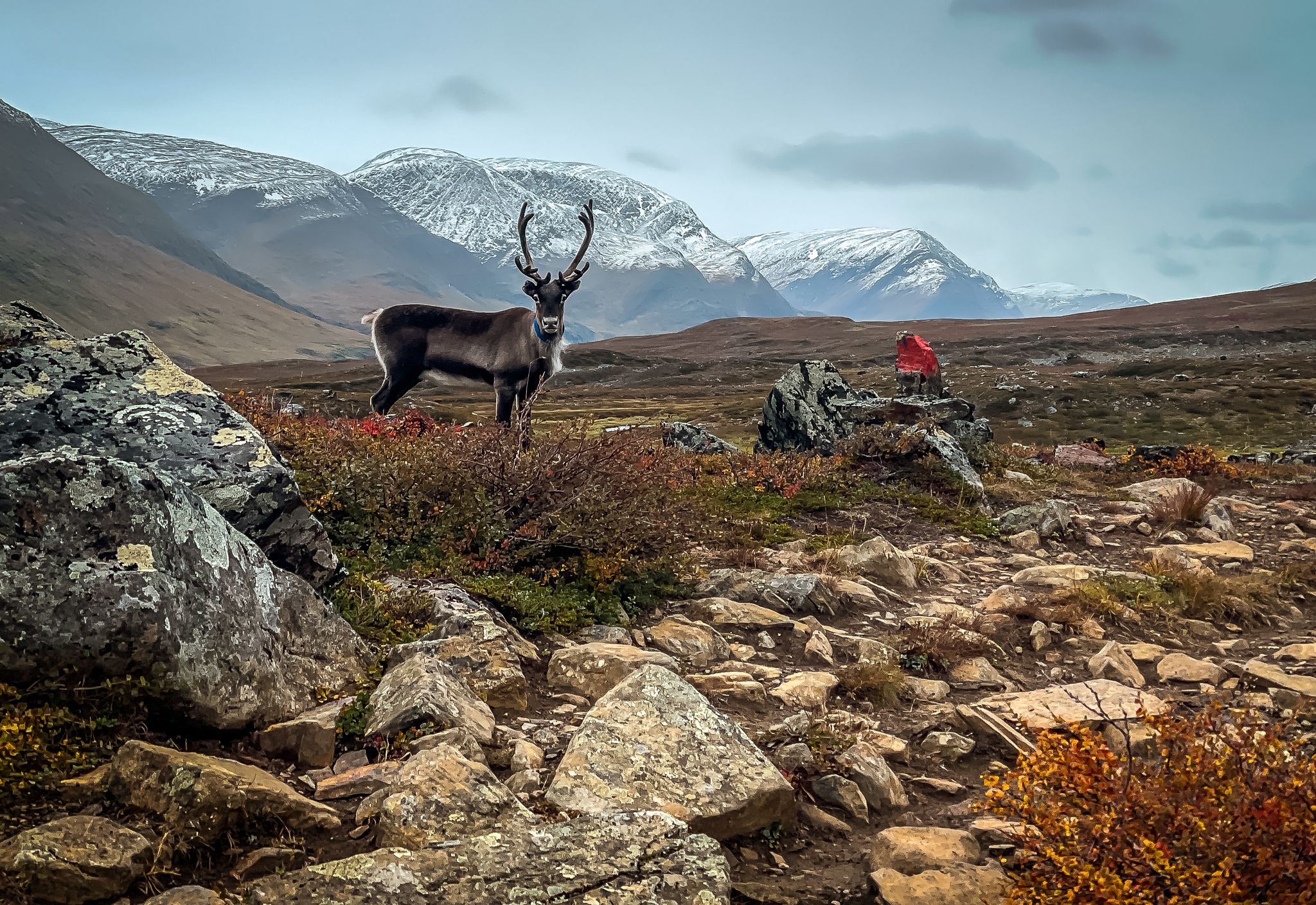
Family friendly hiking trails around Sjaunja offer a unique wilderness experience within Sweden's vast Laponia World Heritage Area. The region is characterized by extensive marshlands in the east, transitioning to mountainous terrain with birch forests and mountain heaths in the west. Interspersed with rivers and lakes, Sjaunja provides diverse habitats for wildlife and varied landscapes for exploration.
Best family friendly hiking trails around Sjaunja
- The most popular family friendly hiking route is View of Natuum – Stora Sjöfallet Waterfall loop from Stora Sjöfallet, a 4.4 miles (7.1 km) trail that takes 1 hour 52 minutes to complete. This easy loop offers views of the Natuum and Stora Sjöfallet Waterfall.
- Another top favourite among local hikers is Hiking loop from Stora Sjöfallet, an easy 3.1 miles (5.0 km) path. This route provides a pleasant walk around Stora Sjöfallet, suitable for families.
- Local hikers also love the Lulep Gierkav Summit Cairn – Saltoluokta Mountain Station loop from Saltoluokta, an 8.3 miles (13.4 km) trail leading through mountainous terrain, often completed in about 4 hours 41 minutes.
- Hiking around Sjaunja is defined by vast marshlands, low mountains, and a network of rivers and lakes. The region offers options for different ability levels, with family friendly hiking trails providing accessible ways to experience the landscape.
- The routes in Sjaunja are highly rated by the komoot community with an average score of 4.75 stars from over 48 reviews. More than 300 hikers have used komoot to explore Sjaunja's varied terrain.
Last updated: May 25, 2026
4.7
(6)
50
hikers
Easy hike. Great for any fitness level. Easily-accessible paths. Suitable for all skill levels.
4.2
(6)
29
hikers
5.03km
01:18
20m
20m
Easy hike. Great for any fitness level. Easily-accessible paths. Suitable for all skill levels.

Sign up for free
5.0
(7)
239
hikers
19.6km
05:31
480m
220m
Hard hike. Very good fitness required. Easily-accessible paths. Suitable for all skill levels.
5.0
(3)
24
hikers
Moderate hike. Good fitness required. Easily-accessible paths. Suitable for all skill levels.
4.7
(3)
14
hikers
Moderate hike. Good fitness required. Easily-accessible paths. Suitable for all skill levels.
Our route recommendations are based on thousands of hikes, rides, and runs completed by other people on komoot.
Start today with a free account
Your next adventure awaits.
Login or Signup
Popular around Sjaunja
Other adventures around Sjaunja

Tips from the Community

A wide-open postcard panorama over Saltoluokta and the Luleälven, the lake and its surroundings. Please stop and enjoy this majestic panorama.
0
0


Very beautiful hike to the top of the waterfall. You cannot see much of it from there if you’re not leaving the trail, but the view is amazing.
0
0
The path to the waterfall is very beautiful. But you can't see much of the waterfall itself from above. If you don't want to leave the path, you won't see much of it.
0
0
In the middle of the path between the road and the waterfall. Great view. You can see very far into the day.
0
0

Not far from a parking lot on the street, this bench can be reached via an easily accessible boardwalk.
0
0

Intermediate Hike up to Lulep Gierkav, from STF Saltoloukta it is 730 height meters and 8km. Stony, but with little stone towers marked to find the right way! You can see all the way to Kebnekaise in good weather.
0
0
Frequently Asked Questions
How many family-friendly hiking trails are available in Sjaunja?
Our guide features 3 easy family-friendly hiking trails around Sjaunja. These routes are carefully selected to ensure an enjoyable experience for all ages, offering a great way to explore the region's unique nature.
What kind of terrain can we expect on family hikes in Sjaunja?
The family-friendly trails in this guide are generally easy, often featuring well-trodden paths suitable for various fitness levels. However, Sjaunja is known for its diverse landscape, from vast marshlands to mountainous regions. While the easy routes avoid the most challenging terrain, be prepared for natural surfaces and potentially uneven ground, especially after rain. The western parts of Sjaunja, where some trails are located, feature low mountains with birch forests and mountain heaths.
Are there any circular routes suitable for families?
Yes, several routes in this guide are circular, making them convenient for families. For example, the View of Natuum – Stora Sjöfallet Waterfall loop from Stora Sjöfallet is an easy circular hike that offers beautiful views and a waterfall. Another great option is the Hiking loop from Stora Sjöfallet, which is also an easy circular trail.
Can we see any waterfalls on the family-friendly trails?
Yes, you can! The View of Natuum – Stora Sjöfallet Waterfall loop from Stora Sjöfallet specifically highlights a waterfall, offering a scenic reward for your family's hike.
What is the typical duration and distance for these family hikes?
The family-friendly hikes in this guide vary in length and duration. For instance, the Hiking loop from Stora Sjöfallet is about 5 km and takes around 1 hour 15 minutes to 1 hour 45 minutes. A slightly longer option is the View of Natuum – Stora Sjöfallet Waterfall loop from Stora Sjöfallet, which is approximately 7 km and can take 2 to 2.5 hours. These times are estimates and can vary based on your family's pace and stops.
What do other hikers say about the family-friendly trails in Sjaunja?
The komoot community highly rates the trails in this region, with an average score of 4.75 out of 5 stars from 48 ratings. Hikers often praise the tranquility and captivating beauty of the wilderness, making it a rewarding experience for families seeking to connect with nature.
Are there any longer, more challenging options for families with older children?
While this guide focuses on easy family trails, for families with older children or those seeking a bit more challenge, there are moderate routes available in the broader Sjaunja area. For example, the Lulep Gierkav Summit Cairn – Saltoluokta Mountain Station loop from Saltoluokta is a moderate 13.36 km hike that includes a summit, offering more elevation gain and a longer duration.
What is the best time of year for family hiking in Sjaunja?
The best time for family hiking in Sjaunja is generally during the summer months when the weather is milder and the days are long. However, be prepared for rapidly changing weather conditions and the presence of mosquitoes and midges, especially in the marshier areas. Always check local forecasts before heading out.
What should we bring for a family hike in Sjaunja?
Given the wilderness nature of Sjaunja, it's essential to be well-prepared. For family hikes, we recommend bringing plenty of water, snacks, appropriate layers of clothing for changing weather, rain gear, sun protection, and insect repellent. A map and compass (or a reliable GPS device) are also advisable, as marked trails can be limited in some parts of the wider reserve.
Is Sjaunja suitable for wildlife spotting during family walks?
Sjaunja is a significant nature reserve known for its diverse habitats, including wetlands, forests, and mountains. These environments support a variety of wildlife, including otters, beavers, and numerous bird species. Over 150 bird species have been observed, with at least 100 nesting within the reserve. While spotting larger predators is rare, families can enjoy looking for birds and smaller mammals, especially in quieter areas.
Are there any facilities or amenities near the family-friendly trailheads?
Sjaunja is largely a wilderness area with few marked trails or cabins. Facilities near trailheads may be limited. It's advisable to plan ahead and bring all necessary supplies, as cafes, shops, or public restrooms might not be readily available directly at the starting points of the hikes. Some trails might start near mountain stations, which could offer basic services.
Most popular routes around Sjaunja

Get inspired with the komoot mobile app


Explore more
Browse the best Hikes in other regions.
