The best traffic-free bike rides around Connemara National Park
4.7
(182)
1,106
riders
6
rides
No traffic touring cycling routes around Connemara National Park traverse a landscape shaped by the last Ice Age, featuring a dramatic blend of mountains, bogs, and a rugged Atlantic coastline. The region is characterized by the Twelve Bens mountain range, extensive blanket bogs, and numerous loughs such as Kylemore Lough and Lough Fee. Cyclists encounter varied terrain, from coastal roads offering sea views to inland routes winding through valleys and past traditional peatlands. This diverse topography provides a compelling setting…
Last updated: November 12, 2026
4.8
(4)
21
riders
27.0km
01:45
300m
300m
Moderate bike ride. Good fitness required. Mostly paved surfaces.
4.3
(3)
10
riders
14.7km
00:57
170m
170m
Moderate bike ride. Good fitness required. Mostly paved surfaces.

4.8
(4)
16
riders
20.1km
01:18
250m
250m
Moderate bike ride. Good fitness required. Mostly paved surfaces.
4.9
(26)
178
riders
16.8km
01:06
200m
210m
Moderate bike ride. Good fitness required. Some segments of this route may be unpaved and difficult to ride.
4.7
(3)
22
riders
39.2km
02:27
360m
360m
Moderate bike ride. Good fitness required. Mostly paved surfaces.
Our route recommendations are based on thousands of hikes, rides, and runs completed by other people on komoot.
Start today with a free account
Your next adventure awaits.
Popular around Connemara National Park
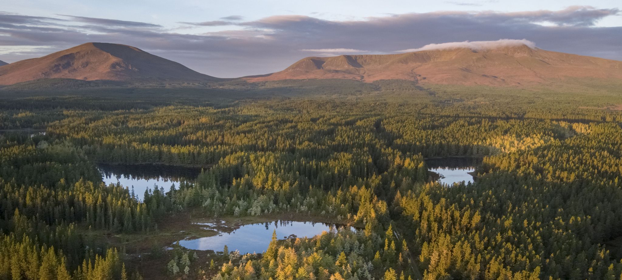
Discover Ireland's unspoilt nature in its national parks
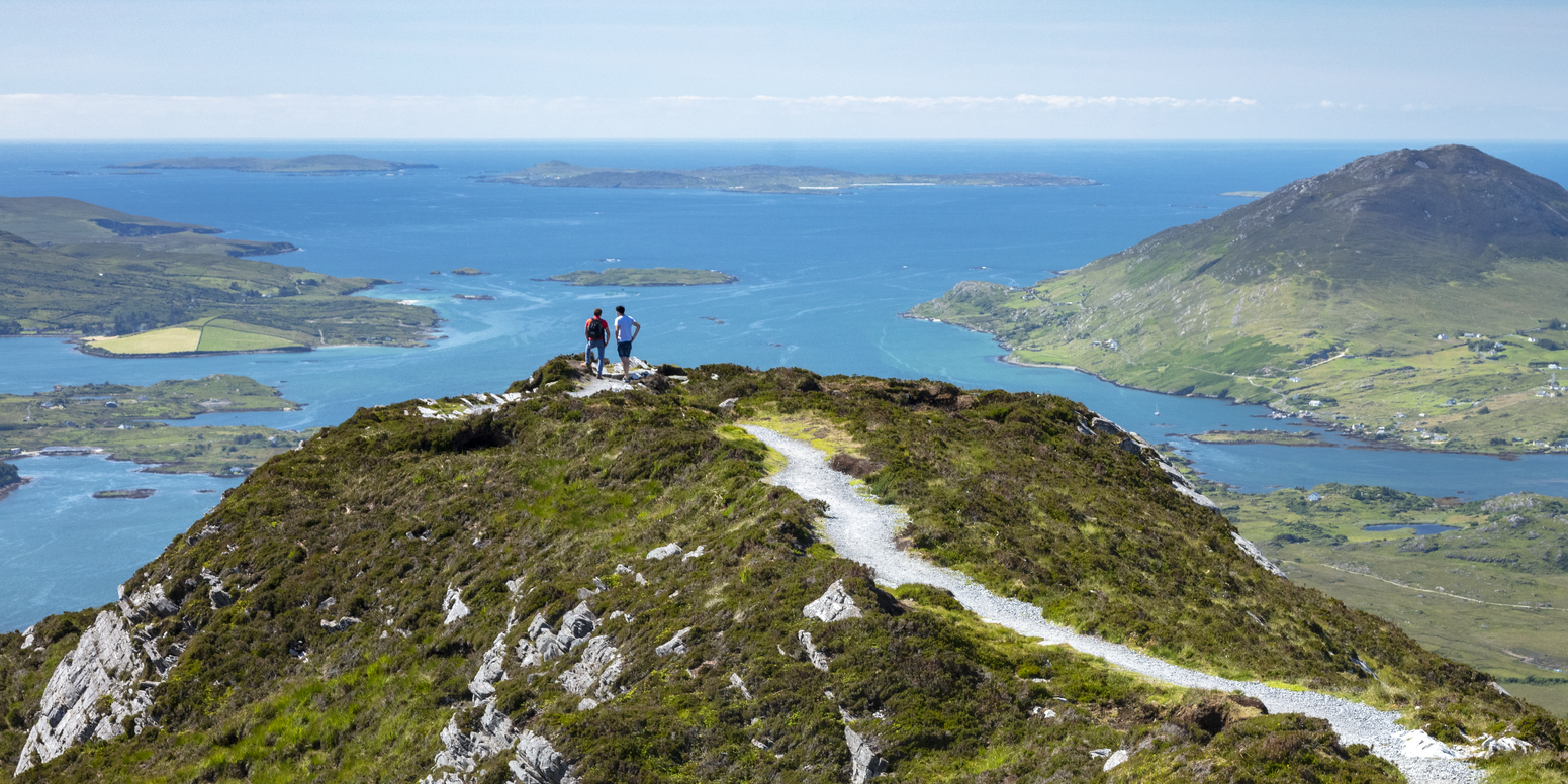
Between waves and peaks — to the best views in Ireland
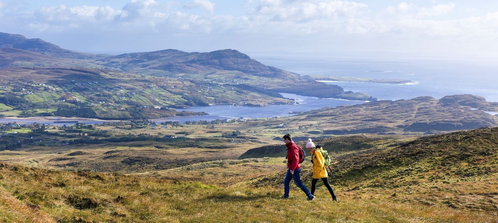
Wild Atlantic Way — day hikes for your road trip along Ireland's coastline
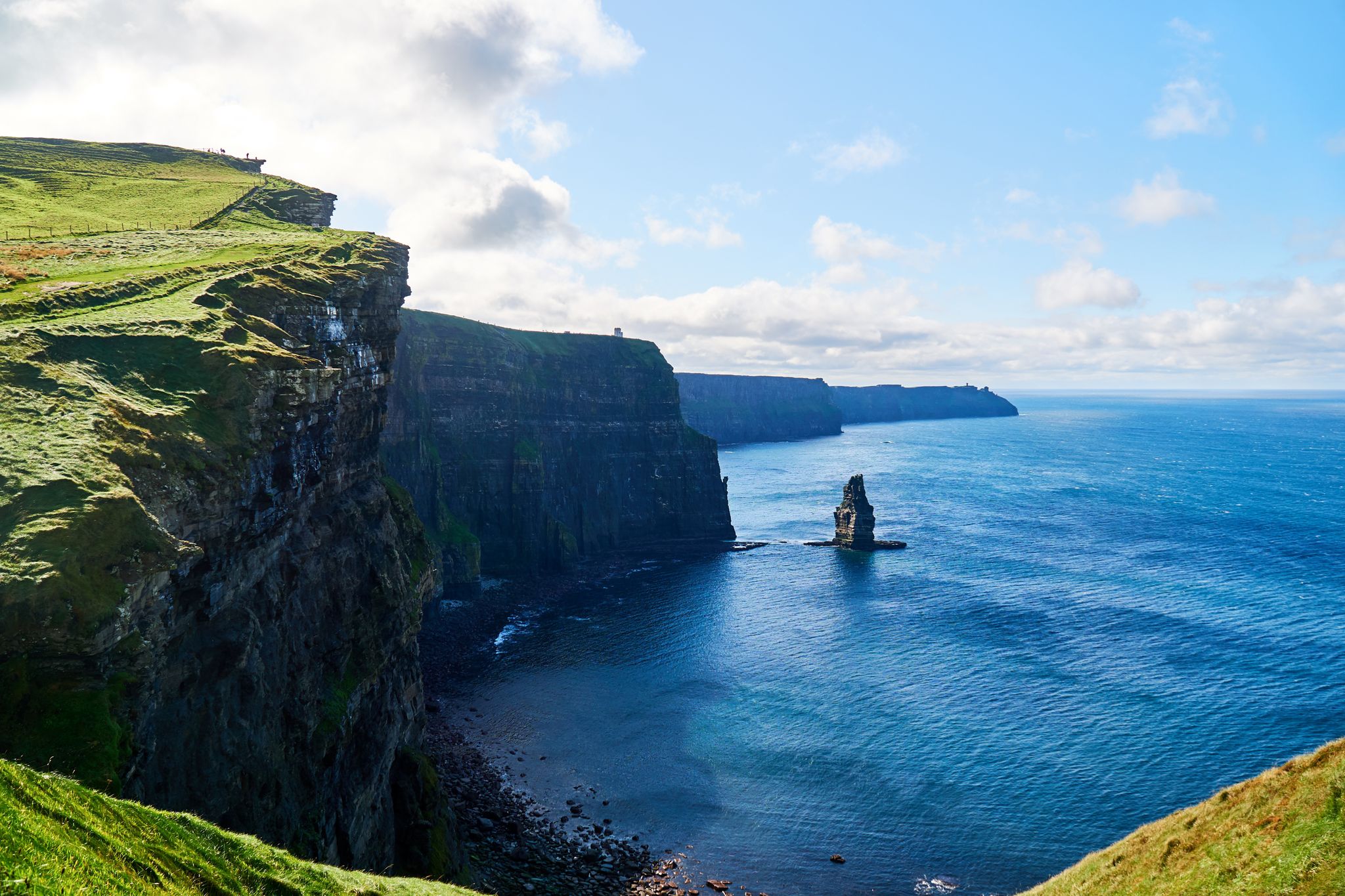
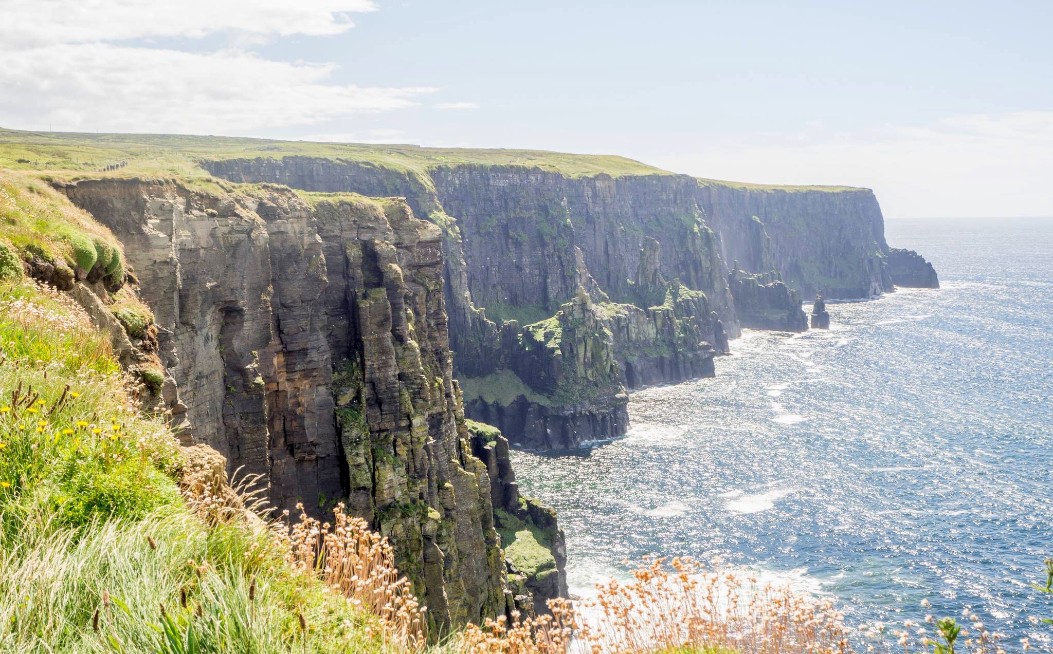
The Cliffs of Moher to Diamond Hill – hiking the Wild Atlantic Way in Ireland
Ireland's wild west

Traffic-free bike rides around Connemara National Park
Other adventures around Connemara National Park


Tips from the Community

Killary Fjord (of Killary Harbour) is often called the only true fjord in Ireland, although technically it is one of the three glacial fjords on the island. This deep sea arm cuts 16 kilometres inland, forming the natural border between the counties of Galway and Mayo.
6
0
One of the most characteristic Connemara roads: narrow asphalt, slightly undulating, and constantly accompanied by water and low green ridges. Lough Fee lies elongated and open in the landscape. The road runs close to the banks, giving you almost continuous views of water, bog, and the surrounding hills. It feels remote and serene, with broad west coast air and an almost timeless tranquility.
7
0
Long, narrow mountain lake in the northwest of Connemara, formed in a glacial valley between the Mweelrea massif and the lower ridges towards Letterfrack. The water lies in a quiet, remote valley where peat, heather and rock alternate. The shores are largely uninhabited, giving the lake a distinctly wild and natural character.
1
0
A legendary spot at the foot of the hills, where the green grass literally merges into the white sand of Lettergesh Beach. This park is world-famous as the location of the horse race from the film The Quiet Man. For cyclists, this point marks a beautiful flat section of the route, right along the surf. Whether you stop for the night or just peek over the wall at the ocean and the islands in the distance: the combination of campers, grazing sheep, and crashing waves breathes ultimate freedom.
4
0
A breathtaking panorama where the green hills of Connemara literally slide into the Atlantic Ocean. Lettergesh Beach is known for its wide sandy expanse, intersected by rugged black rocks, creating a spectacular contrast with the turquoise water. From the higher coastal road, you have a bird's-eye view of the surf and the islands in the distance.
6
0
One of the most characteristic stops on the Renvyle peninsula. At the height of the historic Mullaghgloss House, you will be treated to a wide panorama of the Atlantic Ocean, where the islands of Inishbofin and Inishturk lie as sharp silhouettes on the horizon. The scenery is completed by the unperturbed sheep grazing in the salty meadows (and often right on the road).
4
0
Wild Atlantic Way Discovery Point @Islands View A breathtaking discovery point on the northern loop of Renvyle. From this elevated spot, you have a direct view over the Connemara archipelago: the inhabited islands of Inishbofin and Inishturk, and the rugged, deserted Inishark. In clear weather, you can even see the contours of the holy mountain Croagh Patrick in County Mayo to the north. For cyclists, this is the ultimate 'Wild Atlantic Way' feeling: the wind in your hair, the smell of salt water, and a horizon that seems endless.
6
0
Renvyle House Hotel, a historic country residence at one of the westernmost points of Connemara. This well-known hotel is surrounded by the ocean on three sides and offers a fabulous view over Renvyle Bay and the islands of Inishbofin and Inishturk. For cyclists, the driveway through the gardens is a beautiful, peaceful interlude. From the terrace, you look out over the rugged coastline where the waves crash relentlessly on the rocks. A perfect spot for a stylish break with a cup of tea and unparalleled sea views before exploring the rest of the Renvyle Loop.
6
0
Frequently Asked Questions
How many no-traffic touring cycling routes are available in Connemara National Park?
This guide features 6 dedicated no-traffic touring cycling routes around Connemara National Park. All of them are rated as moderate difficulty, offering a good balance of challenge and scenic beauty.
What kind of landscapes can I expect on these no-traffic cycling routes?
The routes traverse a diverse and dramatic landscape. You'll cycle through areas featuring the majestic Twelve Bens mountain range, expansive blanket bogs and heathlands, and along the rugged Atlantic coastline with pristine beaches and turquoise bays. Many routes also offer views of serene loughs (lakes) like Kylemore Lough and Lough Fee.
Are there any family-friendly no-traffic cycling options in Connemara?
While the routes in this guide are rated moderate, the Connemara region generally offers sections of the Connemara Greenway which are ideal for families, being well-surfaced and mostly traffic-free. For a moderate family adventure, consider the Island View loop from Letterfrack, which is shorter at 14.6 km.
What are some notable landmarks or attractions I can see while cycling in the area?
You'll find several points of interest. Many routes offer views of the iconic Diamond Hill. You can also visit the Connemara National Park Visitor Centre in Letterfrack. The region is also home to the magnificent Kylemore Abbey, often visible from various cycling paths, and charming villages like Clifden and Letterfrack.
What is the best time of year to cycle in Connemara National Park?
The best time to cycle is generally from late spring to early autumn (May to September). During these months, the weather is milder, and the vibrant purple moorgrass of the bogs is often in bloom, adding to the scenic beauty. Always be prepared for changeable weather, as is typical for Ireland's west coast.
Are there any circular no-traffic touring cycling routes available?
Yes, all the routes featured in this guide are circular, allowing you to start and end at the same point. Examples include the Renvyle Peninsula Loop and The Sky Road loop from Clifden, both offering stunning vistas.
What do other touring cyclists enjoy most about cycling in Connemara National Park?
The area is highly rated by the komoot community, with an average score of 4.7 stars from 147 ratings. Reviewers often praise the breathtaking coastal and mountain scenery, the sense of tranquility on the less-trafficked roads, and the rewarding challenge of the moderate climbs.
What is the longest no-traffic touring cycling route in this guide?
The longest route featured is the View of Lettergesh Beach – Lough Fee loop from Killary Harbour, covering approximately 39.1 km with an elevation gain of about 357 meters. It offers extensive views of the coastline and Lough Fee.
Can I find places to eat or stay near these cycling routes?
Yes, charming villages like Clifden, Letterfrack, Tullycross, and Roundstone are located within the broader Connemara region and provide opportunities for refreshments, traditional music, and accommodation. Many routes pass close to or through these villages.
Are there any specific viewpoints or natural features highlighted on these routes?
Absolutely. Many routes offer spectacular viewpoints. For instance, the Sky Road loop from Clifden is renowned for its coastal scenery. You'll also encounter views of the Twelve Bens mountains and various loughs. The View of Diamond Hill from the Stone Junction is a particularly popular highlight.
What is the elevation gain like on these moderate routes?
The moderate routes in this guide feature varied elevation gains. For example, the Bike loop from Freaghillaun South has an elevation gain of around 245 meters, while the Renvyle Peninsula Loop climbs about 300 meters. These offer a good workout without being overly strenuous for touring cyclists.
Most popular routes around Connemara National Park
Most popular attractions around Connemara National Park

Get inspired with the komoot mobile app


Explore more
Browse the best Cycling routes in other regions.
