The best road cycling routes around Maria Laach
4.5
(311)
5,794
riders
203
rides
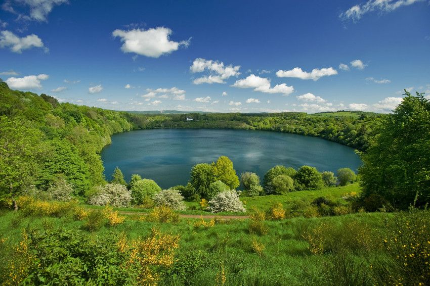
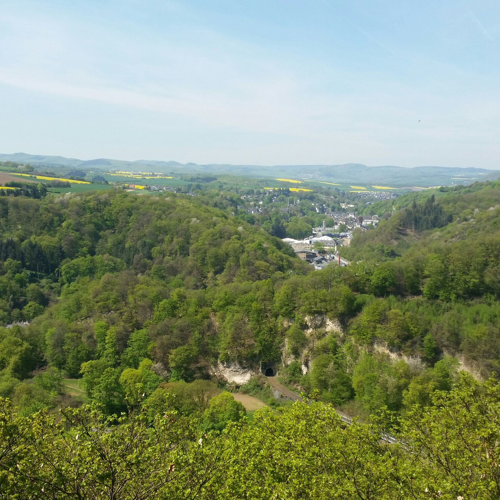
Road cycling routes around Maria Laach are situated in Germany's volcanic Eifel region, characterized by its unique geological history. The terrain features the Laacher See, a volcanic crater lake, surrounded by dense beech forests, cultivated areas, and stream valleys. The region offers mostly paved surfaces, providing varied landscapes from flat stretches to moderate inclines suitable for road cycling. This diverse topography ensures a range of experiences for cyclists.
Best road cycling routes around Maria Laach
- The most popular road cycling…
Last updated: May 20, 2026
4.7
(11)
99
riders
53.4km
02:27
490m
490m
Moderate road ride. Good fitness required. Mostly well-paved surfaces and easy to ride.
46
riders
50.4km
02:36
890m
890m
Moderate road ride. Good fitness required. Mostly well-paved surfaces and easy to ride.

Sign up for free
5.0
(1)
35
riders
53.4km
02:37
660m
660m
Moderate road ride. Good fitness required. Some segments of this route may be unpaved and difficult to ride.
28
riders
45.7km
02:17
490m
490m
Moderate road ride. Good fitness required. Some segments of this route may be unpaved and difficult to ride.
24
riders
48.7km
02:26
740m
740m
Moderate road ride. Good fitness required. Mostly well-paved surfaces and easy to ride.
Get access to more routes and recommendations from other explorers.
Sign up for free
Already have an account?
Our route recommendations are based on thousands of hikes, rides, and runs completed by other people on komoot.
Start today with a free account
Your next adventure awaits.
Login or Signup
Other adventures around Maria Laach

Tips from the Community

The northern gate of the city fortifications, which still exists today, is the gatehouse located on the Nette river, built between 1299 and 1354. It secured the crossing of the Nette and primarily served as the city entrance from the direction of Koblenz, which is why it also bears the name "Koblenzer Tor" (Koblenz Gate). Since there are no signs of a slot in the wall for a portcullis, it is assumed that a drawbridge to the bridge pier on the Nette was used to secure the gate. Due to the flood in 1598, the gatehouse collapsed along with the outer gate. However, the chiseled number 1599 testifies that the gatehouse was rebuilt just one year later. From the beginning of the 19th century until 1855, the gatehouse was used as a prison. The city coat of arms, added in 1911, is still visible today. Source: Jonas Breithaupt, University of Koblenz-Landau, 2015
2
0

The oldest part of Bürresheim Castle is the imposing keep, a 12th-century tower that clearly reflects the castle's defensive origins. Over time, the castle developed into a complex double complex, consisting of the so-called Cologne Castle and the Trier Castle, which underwent different construction and expansion phases. While the Cologne Castle formed the older part and primarily served economic purposes—leading to its eventual decline—the Trier Castle was transformed into a prestigious residential palace, which continues to shape the character of the entire complex to this day.
2
0

The Brückentor (Bridge Gate) is one of Mayen's few remaining medieval city gates and once served as the most important entrance for travelers coming from Koblenz. Today, this historic building houses the Mayen Carnival Museum, which brings the city's long tradition of "Faasenaacht" (Carnival Night) to life.
0
0

A view of the Hunsrück is always recommended
0
0

Unfortunately, you have to cycle on a country road without a bike path. In heavy traffic, caution is advised when crossing the Abtei road.
10
1
Nice beer garden. For those who don't like alcohol, we also recommend the Vulkan Radler.
12
0
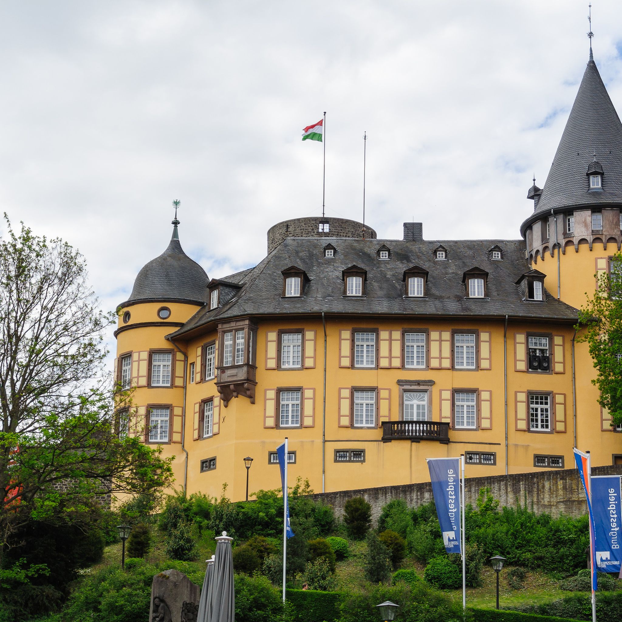
The castle belongs to the municipality of Sankt Johann in Rhineland-Palatinate and is located northwest of Mayen on a rocky outcrop at the confluence of the Nitzbach and Nette rivers. Along with Eltz Castle and Lissingen Castle, Bürresheim Castle is one of the few aristocratic residences in the Eifel region that was never conquered or destroyed, surviving unscathed both the wars of the 17th and 18th centuries and the social upheavals resulting from the French Revolution. Its history was largely shaped by its location on the border between the two ecclesiastical electorates of Cologne and Trier.
9
0

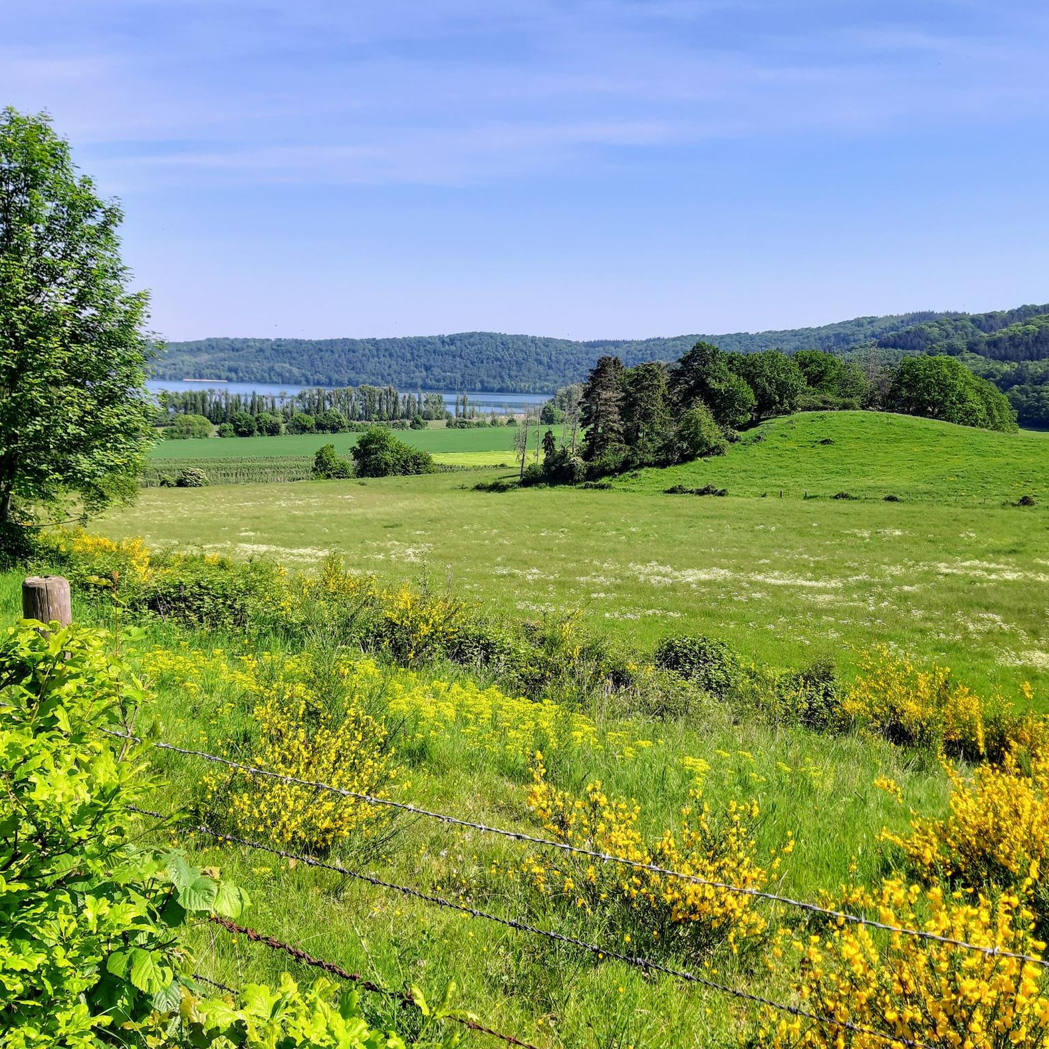
Beautiful route above the lake, but somehow you never really get to see it.
1
0
Frequently Asked Questions
How many road cycling routes are available around Maria Laach?
There are over 200 road cycling routes around Maria Laach, offering a wide range of options for different skill levels and preferences. The komoot community has explored more than 5,900 road cycling tours in the area.
What kind of terrain can I expect on road cycling routes in Maria Laach?
The terrain around Maria Laach is diverse, shaped by its volcanic history. You can expect mostly paved surfaces, ranging from flat stretches through cultivated fields to areas with moderate to significant inclines. The routes often pass through dense beech forests, stream valleys, and around the unique volcanic crater lake, Laacher See.
Are there road cycling routes suitable for beginners or families in Maria Laach?
Yes, Maria Laach offers routes suitable for various fitness levels. There are 14 easy road cycling routes, perfect for beginners or families looking for a more relaxed ride. These often feature gentle inclines and well-maintained paths, such as circular tours around the nature reserve on paved agricultural paths.
What natural attractions can I see while road cycling near Maria Laach?
While cycling, you can encounter several natural wonders. The most prominent is the Laacher Lake itself, a volcanic crater lake. You might also spot mofettes on its eastern shore, which are natural carbon dioxide vents. Other highlights include the Trass Caves, formed by volcanic ash mining, and various waterfalls like the Waterfall in the Wolfsschlucht.
Are there any historical or cultural landmarks along the road cycling routes?
Absolutely. The magnificent Maria Laach Abbey, a Benedictine monastery founded in 1093, is a major landmark dominating the lakeside and is often a focal point of routes like the "Brohltalbahn Viaduct – Maria Laach Abbey loop from Glees". The region also features the Lava Dome and the Roman mine at Meurin, offering insights into the area's volcanic past and history.
What do other road cyclists enjoy most about road cycling in Maria Laach?
The area is highly rated by the komoot community, with an average score of 4.4 stars from over 310 reviews. Cyclists frequently praise the diverse landscapes, from forests to cultivated areas, and the well-maintained, mostly paved surfaces. The combination of historic sites like Maria Laach Abbey and unique natural features like the Laacher See also receives high acclaim.
Are there challenging road cycling routes for experienced riders?
Yes, for experienced riders seeking a challenge, there are 76 difficult road cycling routes around Maria Laach. These routes often feature significant elevation gains and longer distances, providing a demanding yet rewarding experience through the Eifel landscapes. An example is the "View of the Eifel – View of Ramersbach loop from Wehr", which includes substantial climbs.
Can I find circular road cycling routes around Maria Laach?
Many road cycling routes in the Maria Laach region are designed as circular tours, allowing you to start and end at the same point. A popular option is a circular tour around the nature reserve, which largely consists of paved agricultural paths. Routes like the "Bürresheim Castle – Lake Laach loop from Mendig" also offer a comprehensive circular experience.
What is the best time of year for road cycling around Maria Laach?
The region is generally pleasant for road cycling from spring through autumn. The diverse landscapes, including forests and cultivated areas, offer beautiful scenery during these seasons. Summer provides warmer weather, while spring and autumn offer milder temperatures and vibrant natural colors. It's always advisable to check the local weather forecast before heading out.
Are there options for parking at road cycling trailheads in Maria Laach?
While specific parking details for every trailhead are not provided, Maria Laach is a popular destination, and parking facilities are generally available near major attractions like the Maria Laach Abbey. Many routes start from towns such as Glees, Bell, or Mendig, where public parking is typically accessible for cyclists.
Are there any cafes or places to stop for refreshments along the road cycling routes?
The Maria Laach Abbey complex itself offers various facilities, including a farm store selling organic products. Additionally, the towns and villages surrounding the Laacher See, such as Mendig or Bell, often have cafes and restaurants where you can stop for refreshments and breaks during your ride.
How can I access road cycling trails around Maria Laach using public transport?
While specific public transport links directly to every trailhead are not detailed, the region is part of Rhineland-Palatinate's transport network. Major towns like Koblenz are well-connected by train, and local bus services often connect to smaller villages around Maria Laach. It is recommended to check local public transport schedules for the most up-to-date information on reaching your desired starting point.
Most popular routes around Maria Laach
Most popular attractions around Maria Laach

Get inspired with the komoot mobile app


Explore more
Browse the best Road cycling routes in other regions.
