The best traffic-free bike rides around Gipskarstlandschaft bei Ührde
4.5
(71)
353
riders
79
rides
Gravel biking around Gipskarstlandschaft bei Ührde offers routes through a distinctive gypsum karst landscape, characterized by rolling hills and river valleys. The region features a mix of open terrain and forested sections, with waterways like the Rhume and Söse rivers shaping the topography. Elevation changes are present, providing varied challenges for gravel bikers.
Best no traffic gravel bike trails around Gipskarstlandschaft bei Ührde
- The most popular no traffic gravel bike trail is Flow Trail along the Rhume – View of…
Last updated: November 12, 2026
4.4
(12)
22
riders
Moderate gravel ride. Good fitness required. Mostly paved surfaces.
5.0
(1)
5
riders
21.3km
01:21
260m
260m
Moderate gravel ride. Good fitness required. Mostly paved surfaces.

12
riders
Hard gravel ride. Very good fitness required. You may need to push your bike for some segments of this route.
4.5
(2)
11
riders
Hard gravel ride. Very good fitness required. Mostly paved surfaces.
1.0
(1)
6
riders
Hard gravel ride. Very good fitness required. Mostly paved surfaces.
Get access to more routes and recommendations from other explorers.
Already have an account?
Our route recommendations are based on thousands of hikes, rides, and runs completed by other people on komoot.
Start today with a free account
Your next adventure awaits.
Popular around Gipskarstlandschaft bei Ührde
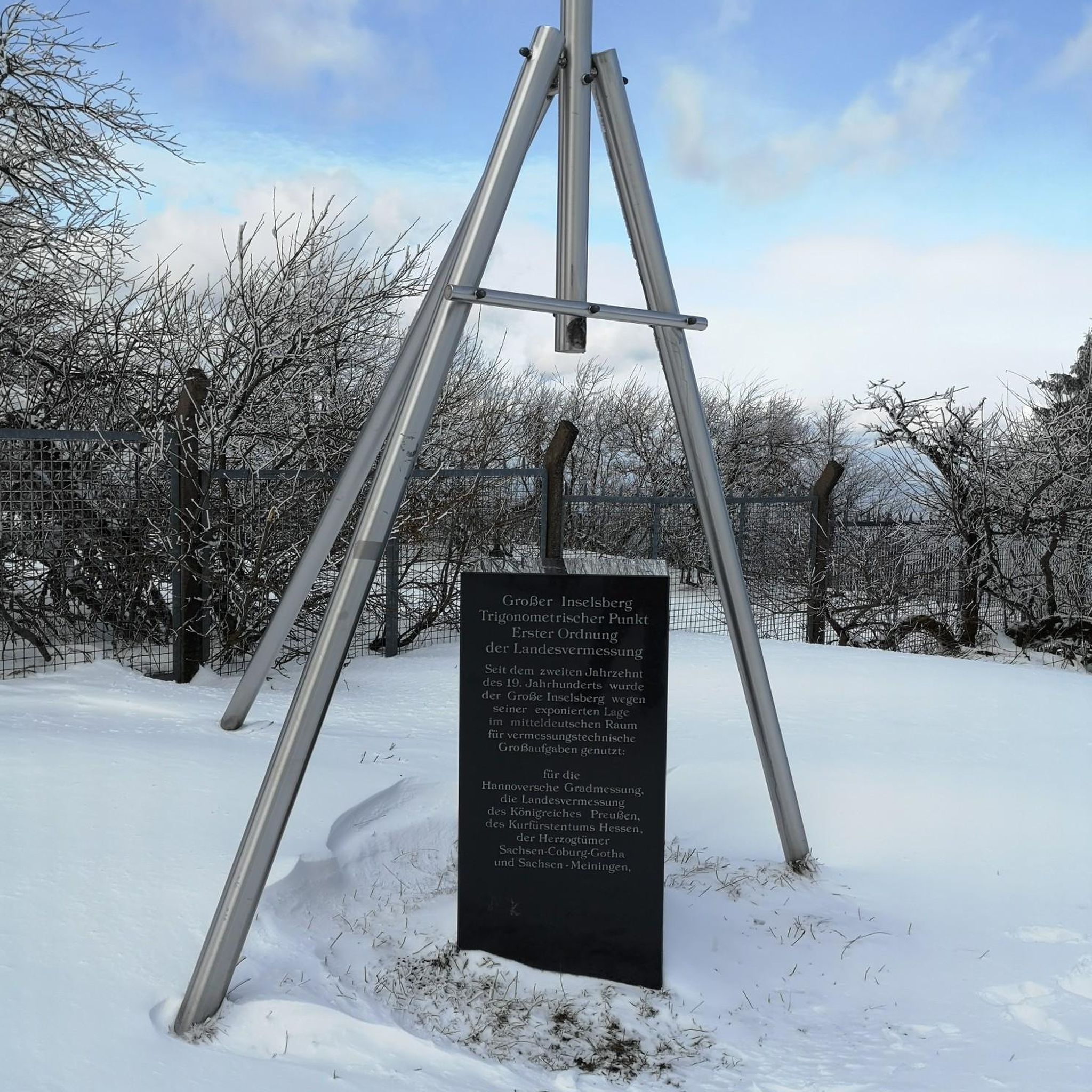
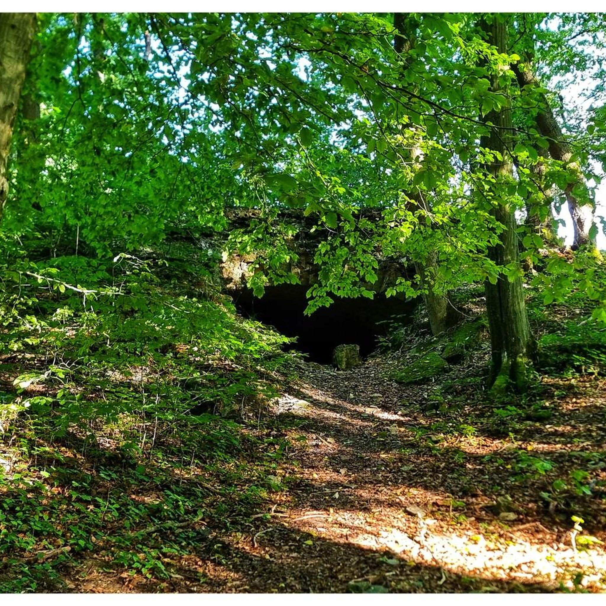
Tips from the Community

Semmelwieser Teich served as the water supply for the Rosenhöfer Zug. The dam was built in 1691 in the old construction style. With a dam height of around 7.20 m, it impounds 64,000 m of water. Below lie the Upper and Lower Rosenhöfer Kunstgraben, into which the water is directed. Source: Information board
5
0

Beautiful view of the old mining pond near Buntenbock.
0
0
Old Harz mining pond from the 17th century.
0
0

Luckily it's not a singletrack trail, otherwise you'd have to dismount every time someone came the other way. It's certainly rideable with a city bike as well.
0
0

An engineering marvel dating from 1536 to 1866, the Upper Harz Water Management System is considered one of the Harz Mountains' greatest attractions. It encompasses all the structures built to store water and transport it to mines, some of which are located far away. It is one of the largest and most significant historical water management systems in the world of mining. The Upper Harz Water Management System includes numerous reservoirs, kilometers of water channels, and underground waterways. Source: https://www.harz-travel.de/Regionales/Harz-Sehenswuerdigkeiten-Highlights/Oberharzer-Wasserregal/
1
0
The "Grüner Hirsch" (Green Stag) silver mine, belonging to the Burgstätter mining district and once located about 400 meters west of the Mittlerer Pfauenteich (Middle Peacock Pond), began operations in August 1645. It was one of the few, not particularly productive, ore mines in this mining area. This mine would probably have long since been forgotten if the pond, built around the same time and named after it, had not soon played a crucial role in mining near Clausthal. The exact date of the pond's construction has not been recorded, but it likely occurred at the same time as work began at the "Grüner Hirsch," or at least before 1660. In any case, a comprehensive document from 1661, which has survived to the present day, already lists the "Grüner Hirsch Pond" as part of the water supply for the Burgstätter main drainage system. Source: https://www.harzlife.de/teiche/hirschler-teich.html
1
0


There are a few ponds here due to mining - it's fun to drive over the dams
1
0
Frequently Asked Questions
How many no-traffic gravel bike trails are available in Gipskarstlandschaft bei Ührde?
There are over 80 dedicated no-traffic gravel bike trails around Gipskarstlandschaft bei Ührde. These routes range from easy to difficult, ensuring options for various skill levels.
What kind of terrain can I expect on the gravel bike trails in this region?
The trails in Gipskarstlandschaft bei Ührde offer a diverse experience. While specific regional details are limited, the routes often feature a mix of forest paths, riverside trails, and gravel tracks, typical for areas suitable for 'no traffic' cycling. Expect varied surfaces and some elevation changes, especially on longer routes.
Are there any family-friendly gravel biking options without traffic?
Yes, several routes are suitable for families looking for traffic-free gravel biking. While specific 'easy' routes are fewer (4 out of 80), many moderate trails can be enjoyed by families with some cycling experience. Look for routes with less elevation gain for a more relaxed ride.
Can I bring my dog on the gravel bike trails?
Generally, dogs are welcome on most public trails in the region, provided they are kept on a leash and you clean up after them. Always check local signage for any specific restrictions, especially in nature reserve areas. It's a great way to enjoy the outdoors together.
What are some interesting sights or landmarks along the no-traffic gravel routes?
Many routes offer scenic views and pass by historical or natural points of interest. For example, you might encounter the Lichtenstein Castle Ruins or the unique Mammoth Stone on the Karst Trail. The View of Osterode from Feldherren Hill also offers a rewarding panorama.
Are there any circular gravel bike routes?
Yes, many of the no-traffic gravel routes are designed as loops, allowing you to start and end at the same point. An example is the challenging Pandelbach Crossing – Torstadt Grund Fountain loop from Osterode (Harz) Mitte, which offers a full circular experience.
What is the best time of year for gravel biking in Gipskarstlandschaft bei Ührde?
While specific seasonal data isn't available, spring through autumn generally offers the most pleasant conditions for gravel biking in this region. Mild temperatures and less precipitation make for enjoyable rides. Winter can be challenging due to snow and ice, especially on unpaved trails.
Where can I find parking for these gravel bike trails?
Many routes start from towns or villages like Osterode (Harz) Mitte or Förste, where public parking is typically available. For instance, the Söse River Near Dorste – Feuersruh barbecue area loop from Förste likely has parking options near its starting point. Always check local parking regulations.
What is the difficulty level of the gravel bike trails?
The trails vary significantly in difficulty. You'll find a good mix, with 38 moderate and 38 difficult routes, alongside 4 easier options. For example, the Prince's Pond – Bärenbrucher Pond loop from Osterode (Harz) Mitte is rated as difficult, while the Flow Trail along the Rhume loop from Lichtensteinhöhle is moderate.
What do other gravel bikers say about the trails in Gipskarstlandschaft bei Ührde?
The komoot community highly rates the gravel biking experience here, with an average score of 4.6 out of 5 stars from 77 ratings. Riders often praise the peaceful, traffic-free nature of the routes and the beautiful natural surroundings.
Are there any long-distance gravel routes for experienced riders?
Yes, for experienced riders seeking a challenge, there are several longer and more demanding routes. The Sösetalsperre Dam – Dammgraben Dam loop from Osterode (Harz) Mitte, for instance, covers over 46 km with significant elevation gain, making it a difficult but rewarding option.
Most popular routes around Gipskarstlandschaft bei Ührde
Most popular attractions around Gipskarstlandschaft bei Ührde

Get inspired with the komoot mobile app


Explore more
Browse the best Gravel rides in other regions.
