The best hikes from bus stations around Aland-Elbe-Niederung
4.5
(1011)
4,039
hikers
188
hikes
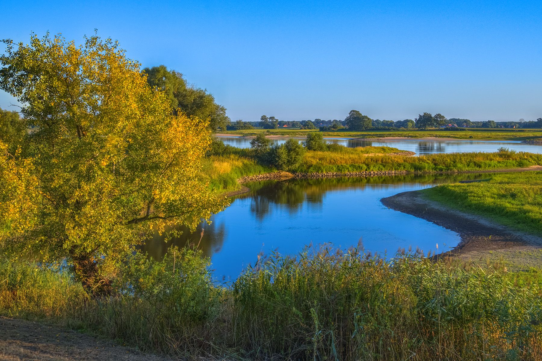
Bus station hiking trails around Aland-Elbe-Niederung traverse a landscape characterized by extensive wetlands, floodplain forests, and lush meadows within the Elbe and Aland river valleys. The region features wooded heights surrounding the river landscape, offering varied terrain for outdoor activities. This area is part of a UNESCO biosphere reserve, known for its natural environment.
Best bus station hiking trails around Aland-Elbe-Niederung
- The most popular bus station hiking route is Havel Confluence With the Elbe – Stork Village Rühstädt loop from…
Last updated: July 12, 2026
4.7
(27)
87
hikers
Moderate hike. Good fitness required. Easily-accessible paths. Suitable for all skill levels.
4.6
(5)
25
hikers
7.42km
01:52
10m
10m
Easy hike. Great for any fitness level. Easily-accessible paths. Suitable for all skill levels.

Sign up for free
3.0
(1)
18
hikers
19.8km
05:00
20m
20m
Moderate hike. Good fitness required. Easily-accessible paths. Suitable for all skill levels.
5.0
(5)
11
hikers
Hard hike. Very good fitness required. Easily-accessible paths. Suitable for all skill levels.
4.0
(3)
9
hikers
Moderate hike. Good fitness required. Easily-accessible paths. Suitable for all skill levels.
Get access to more routes and recommendations from other explorers.
Sign up for free
Already have an account?
Our route recommendations are based on thousands of hikes, rides, and runs completed by other people on komoot.
Start today with a free account
Your next adventure awaits.
Login or Signup




Tips from the Community

The cycle path splits here: The Elberadweg continues onto the "Festland" and the cycle path along the river island to Havelberg. The island path is recommended: Wonderful landscape with rivers on both sides.
0
0
It is actually the mouth of the so-called Gnevsdorfer drainage channel. Anyway: a very beautiful place and a good view of the estuary. Worth it.
0
0
You have to do it, from the top you have a good view of both rivers. Great!
0
0

A visit to the interior is worthwhile.
0
0

Windmills have existed in Wanzer since at least 1611. This particular windmill was built in 1805, though originally in Pollitz, 3 km away. It was moved to Wanzer in 1868 and is now maintained by many volunteers. We were lucky enough to witness an interior inspection.
0
0

A shocking reality: Entire villages had to make way in the border region of the former inner-German border. A place that inspires reflection and is also a paradise for nature lovers. Here, the Green Belt meets the Aland lowlands. The biodiversity is impressive!
0
0

A nice ferry experience for people who don't normally travel on small ferries. Inexpensive (1 euro per bike and 0.75 euros per person).
0
0

The Havel flows into the Elbe 20 kilometers north of Havelberg. A complex system of rivers and canals regulates the water level during floods.
1
0
Frequently Asked Questions
How many bus-accessible hiking trails are available in Aland-Elbe-Niederung?
The Aland-Elbe-Niederung region offers a wide selection of bus-accessible hiking trails, with over 180 routes available. These include 92 easy, 83 moderate, and 13 difficult options, ensuring there's a suitable trail for every hiker.
What kind of landscapes can I expect to see on bus-accessible hikes in this region?
Bus-accessible hikes in Aland-Elbe-Niederung traverse diverse and well-preserved natural landscapes. You can expect to explore extensive wetlands, lush meadows, and significant floodplain forests along the Elbe and Aland river valleys. The region is also part of a unique archipelago environment with thousands of islands and skerries, and features distinctive red granite formations.
Are there easy bus-accessible hikes suitable for beginners or families?
Yes, the region is very accessible for all skill levels, including beginners and families. Many routes feature gentle gradients. For example, the easy Havel Confluence With the Elbe – Stork Village Rühstädt loop from Rühstädt offers a pleasant 6.6 km walk. The "Alandhufe" nature trail is specifically designed for children to learn about local flora and fauna.
Can I bring my dog on these bus-accessible trails?
Generally, dogs are welcome on hiking trails in the Aland-Elbe-Niederung region. However, always keep your dog on a leash, especially in nature reserves and near wildlife. Be mindful of local regulations, particularly in protected areas like the Aland-Elbe Lowlands Nature Reserve, to ensure the safety of both your pet and the local ecosystem.
Are there any circular routes starting directly from bus stops?
Yes, many bus-accessible trails in the region are designed as circular routes, allowing you to start and end your hike at the same bus stop. An example is the View of the Elbe at Wahrenberg loop from Wahrenberg, an easy 7.4 km route offering scenic views.
What are some notable sights or attractions along bus-accessible hiking trails?
Along bus-accessible trails, you can discover various points of interest. Highlights include the Aulosen Observation Tower, offering elevated views, and the historic Wanzer Post Mill. The Elbe floodplain and the beautiful floodplain landscape on the Aland provide stunning natural scenery.
When is the best time of year to hike these bus-accessible routes?
The best seasons for hiking in Aland-Elbe-Niederung are spring and autumn. During these times, the forests display vibrant colors, and the climate is mild, making for comfortable hiking conditions. Spring also offers opportunities for birdwatching as migratory birds return to the Elbe River Landscape UNESCO biosphere reserve.
Are there any longer, more challenging bus-accessible hikes?
Yes, for those seeking a greater challenge, there are longer and more difficult bus-accessible routes. The Havel Confluence With the Elbe – Quitzöbel Sluice Weir loop from Rühstädt is a difficult 21 km hike, while the Schnackenburg Harbor – Wanzer Post Mill loop from Wanzer offers a moderate 19.8 km experience.
What do other hikers enjoy most about the bus-accessible trails in this region?
The Aland-Elbe-Niederung region is highly rated by the komoot community, with an average score of 4.6 stars from over 400 reviews. Hikers often praise the well-signposted trails, the magnificent views across the Elbe Valley, and the unique natural environment, including the diverse forests and tranquil river landscapes.
Are there opportunities for wildlife observation on these trails?
Absolutely. The Elbe River Landscape is recognized as a UNESCO biosphere reserve and is home to rare animal and plant species. The extensive wetlands and floodplain forests provide excellent habitats for various birds and other wildlife, making these bus-accessible trails ideal for nature observation, especially during spring and autumn.
Can I find places to eat or stay near bus stops along these routes?
While specific establishments are not listed in the guide data, the region's popularity suggests that towns and villages with bus stops, such as Rühstädt, Wahrenberg, and Wanzer, likely offer local cafes, restaurants, or guesthouses. It is advisable to check local listings for accommodation and dining options in advance, especially in smaller communities.
Are there any specific regulations for hiking in nature reserves accessible by bus?
When hiking in nature reserves like the Aland-Elbe Lowlands Nature Reserve, it's important to respect local regulations. This typically includes staying on marked paths, not disturbing wildlife, refraining from picking plants, and taking all litter with you. Always look for signage at reserve entrances for specific rules.
Most popular routes around Aland-Elbe-Niederung
Most popular attractions around Aland-Elbe-Niederung

Get inspired with the komoot mobile app


Explore more
Browse the best Hikes in other regions.
