The best traffic-free bike rides around Harzer Bachtäler
4.5
(144)
1,043
riders
77
rides
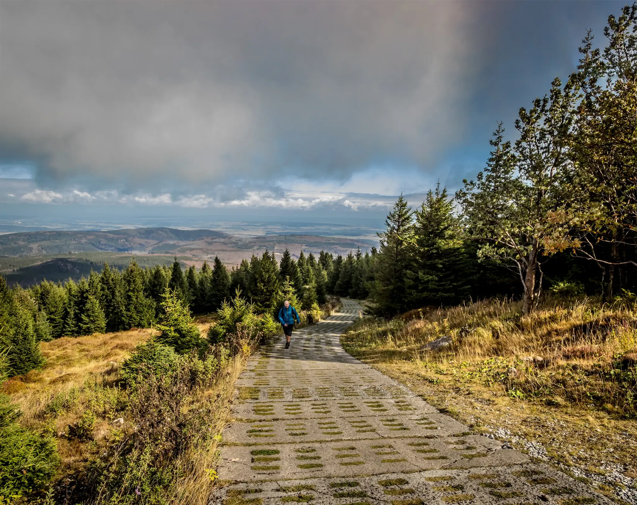
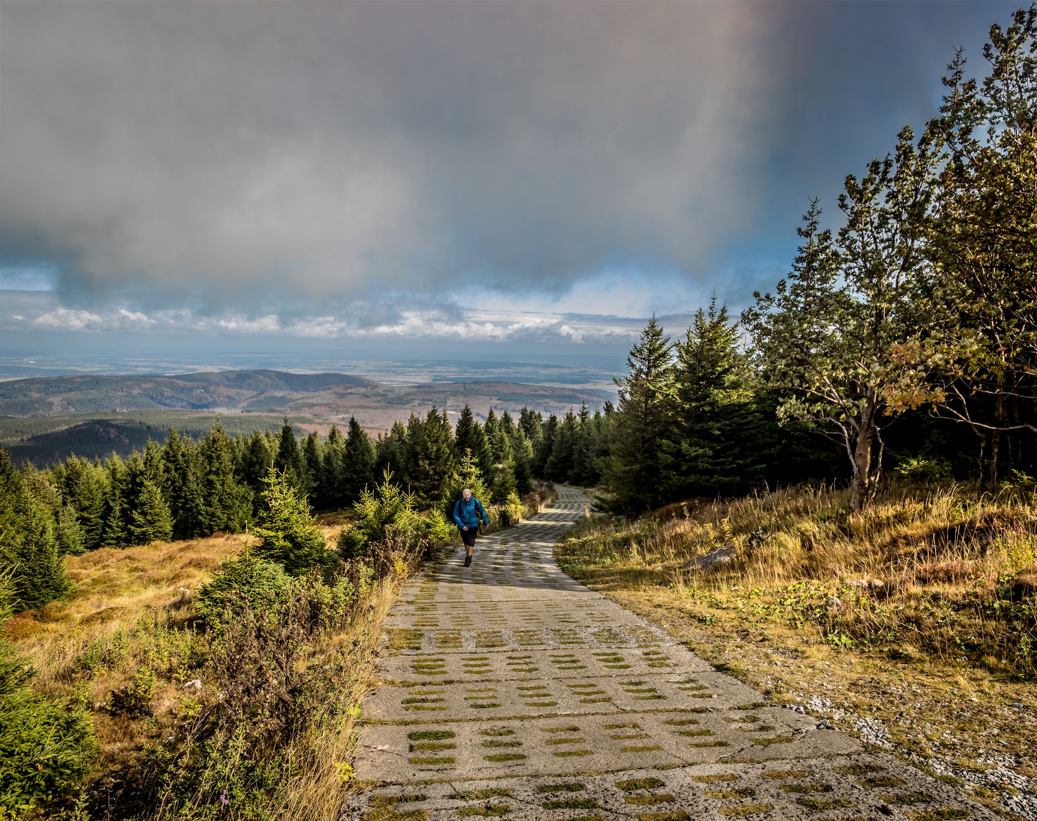
No traffic gravel bike trails around Harzer Bachtäler traverse a landscape characterized by dense forests, rolling hills, and river valleys within the Harz Mountains. The region features varied terrain, including well-maintained forest roads and gravel paths, offering diverse options for gravel biking. Elevation gain gravel biking Harzer Bachtäler routes can be significant, with many trails featuring sustained climbs and descents. This area provides a network of routes suitable for exploring the natural environment away from vehicular traffic.
Best no traffic…
Last updated: May 16, 2026
4.3
(6)
33
riders
49.2km
03:18
1,010m
1,010m
Hard gravel ride. Very good fitness required. Mostly paved surfaces. Suitable for all skill levels.
7
riders
41.5km
02:29
510m
510m
Hard gravel ride. Very good fitness required. Mostly paved surfaces. Suitable for all skill levels.

Sign up for free
5.0
(1)
8
riders
61.4km
03:58
860m
860m
Hard gravel ride. Very good fitness required. Mostly paved surfaces. Suitable for all skill levels.
4.7
(3)
6
riders
33.0km
02:03
480m
480m
Hard gravel ride. Very good fitness required. Mostly paved surfaces. Suitable for all skill levels.
2
riders
18.9km
01:29
470m
480m
Hard gravel ride. Very good fitness required. Mostly paved surfaces. Suitable for all skill levels.
Get access to more routes and recommendations from other explorers.
Sign up for free
Already have an account?
Our route recommendations are based on thousands of hikes, rides, and runs completed by other people on komoot.
Start today with a free account
Your next adventure awaits.
Login or Signup


Tips from the Community

Definitely worth seeing 👍
1
0

In the heart of the Rappbode Valley, the "Titan-RT" spans the Bode reservoir with an incredible total length of 458.5 meters. The delicate cable structure was completed in spring 2017 and, with a massive tensile force of 947 tons, claws its way into the slate rocks on both sides of the valley. Four main suspension cables with a diameter of 65 mm form the backbone of the 120-ton structure. In addition, two stabilizing cables keep the bridge in shape—and in position during higher wind speeds. The 120-cm-wide walkway (grating) is lined along its entire length by a 130-cm-high railing and is enclosed on the sides by stainless steel mesh. Highly recommended⭐️⭐️⭐️⭐️⭐️
2
0

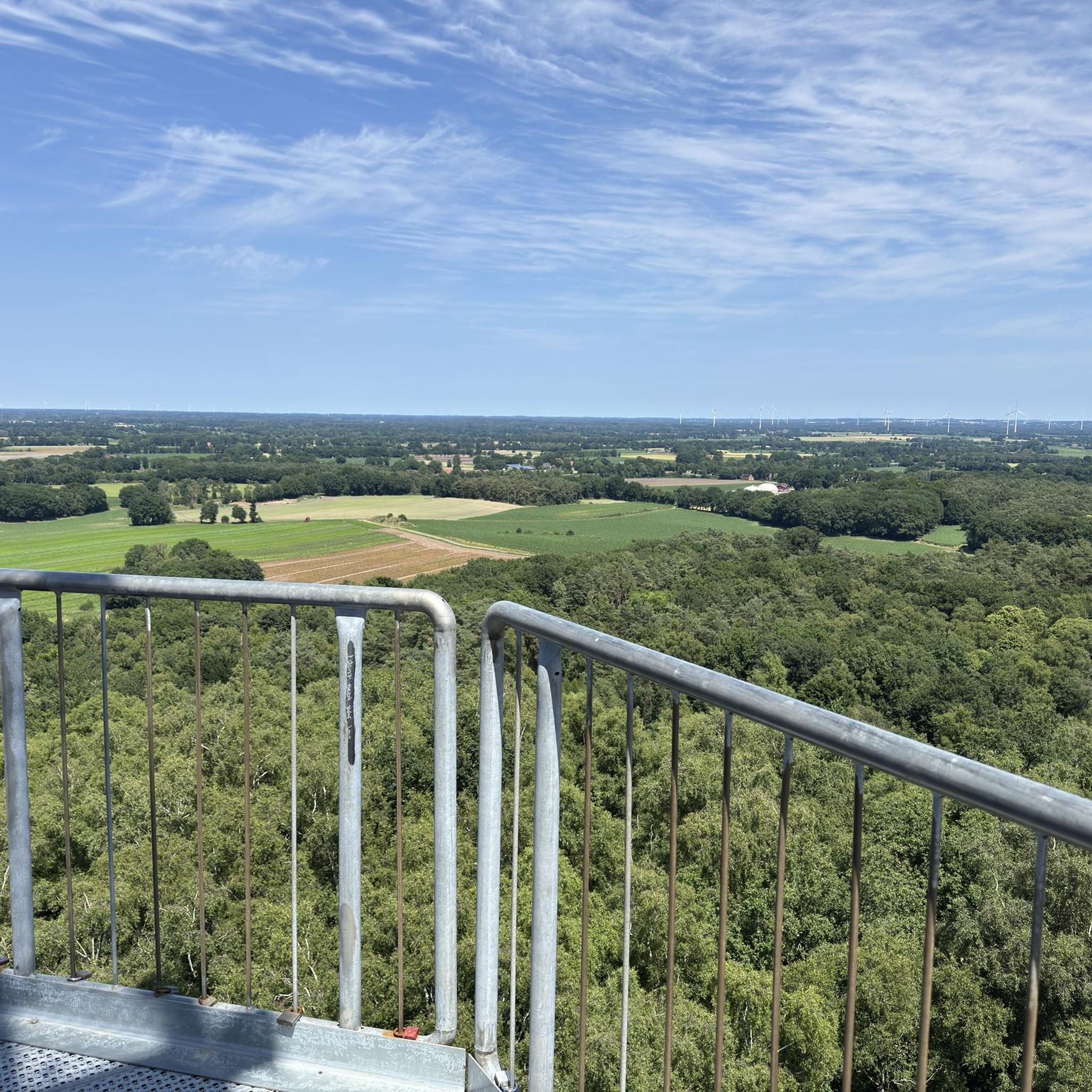
From the Rappbode Dam, you have breathtaking views over dense forests, rolling hills, and the shimmering water. The surrounding nature invites you to linger, hike, and breathe deeply.
3
0

The unique Stiege Stave Church, once abandoned and subject to vandalism, was saved thanks to the commitment of the local community and an association founded in 2014 and successfully relocated to a new location in 2021. Further information and opening hours can be found here: https://www.stabkirche-stiege.de/startseite.html.
1
0


The view from the dam is already good, and the suspension bridge takes it to the next level.
1
0
Frequently Asked Questions
How many traffic-free gravel bike trails are available in Harzer Bachtäler?
You can explore nearly 80 traffic-free gravel bike trails in the Harzer Bachtäler region. These routes range from moderate to difficult, offering diverse experiences away from vehicle traffic.
What is the typical terrain and difficulty level for gravel biking in Harzer Bachtäler?
The terrain in Harzer Bachtäler is generally characterized by forest paths, gravel roads, and some paved sections, often with significant elevation changes. Most routes are rated as difficult, with some moderate options available. For example, the Neuer Goetheweg – Brocken Summit loop from Hohegeiß covers nearly 50 km with over 1000 meters of elevation gain.
Are there any family-friendly traffic-free gravel routes in Harzer Bachtäler?
While many routes in Harzer Bachtäler are rated as difficult due to elevation and length, some sections or shorter loops might be suitable for families with older, experienced children. Look for routes with less elevation gain and shorter distances. Always check the route details on komoot for specific difficulty and terrain information before heading out with children.
What kind of landmarks or points of interest can I expect along these routes?
The Harzer Bachtäler region is rich in natural and historical landmarks. You might encounter historical sites like the Border Museum Sorge or the German-German Border Monument Brehmke. Natural highlights include the Valley trail in the Harzer Bachtäler nature reserve and various viewpoints offering panoramic vistas of the Harz landscape.
What is the best time of year for gravel biking in Harzer Bachtäler?
Spring, summer, and early autumn are generally the best times for gravel biking in Harzer Bachtäler. During these seasons, you'll find more stable weather conditions, open facilities, and vibrant natural scenery. Winter can be challenging due to snow and ice, making many trails impassable or requiring specialized equipment.
Are there circular gravel bike routes available?
Yes, many of the traffic-free gravel routes in Harzer Bachtäler are designed as circular loops, allowing you to start and end at the same point. An example is the Rappbode Dam – View of the Rappbode Dam loop from Harzer Bachtäler, which offers a scenic circular ride around the impressive dam.
Where can I find parking for these gravel bike trails?
Parking is often available at common starting points for tours, such as in towns like Hohegeiß or near major attractions. For instance, the Ring of Remembrance Parking Area is one such designated spot. Always check the specific route details on komoot for recommended parking locations.
Can I bring my dog on the gravel bike trails in Harzer Bachtäler?
Generally, dogs are welcome on many trails in the Harzer Bachtäler, especially on forest and gravel paths. However, it's crucial to keep them on a leash, particularly within the Harz National Park boundaries and in areas with wildlife or livestock. Always respect local regulations and other trail users.
What do other gravel bikers enjoy most about the Harzer Bachtäler trails?
The Harzer Bachtäler region is highly rated by the komoot community, with an average score of 4.5 out of 5 stars from over 140 reviews. Reviewers often praise the quiet, traffic-free nature of the routes, the challenging climbs, and the stunning natural beauty of the Harz forests and valleys.
Are there places to stop for food or accommodation near the trails?
Yes, the towns and villages surrounding the Harzer Bachtäler, such as Hohegeiß or Tanne, offer various options for cafes, restaurants, and accommodation. You'll also find traditional huts like the Charcoal Burner's Hut Sorge along some routes, providing a chance for a break and refreshments.
What is the average length and elevation gain for these traffic-free routes?
The traffic-free gravel routes in Harzer Bachtäler vary significantly in length and elevation. You can expect routes ranging from around 19 km, like the Wolfsbach Bridge – View of Brocken and Wurmberg loop from Hohegeiß with about 470 meters of ascent, to longer tours exceeding 60 km with over 800 meters of climbing. Always check the specific route details for precise figures.
Most popular routes around Harzer Bachtäler
Most popular attractions around Harzer Bachtäler

Get inspired with the komoot mobile app


Explore more
Browse the best Gravel rides in other regions.
