The best traffic-free bike rides in the Santa Cruz Mountains
4.6
(262)
6,343
riders
129
rides
No traffic touring cycling routes in the Santa Cruz Mountains traverse a diverse landscape characterized by towering redwood forests, rugged coastal bluffs, and rolling grasslands. This region, separating the Pacific Ocean from the San Francisco Bay, features significant elevation changes, with hills and higher peaks like Loma Prieta. Cyclists can expect varied terrain, from shaded forest paths to open ridgelines, offering a range of experiences.
Best no traffic touring cycling routes in the Santa Cruz Mountains
- The most popular no…
Last updated: May 16, 2026
5.0
(1)
153
riders
15.3km
01:32
260m
260m
Cycle the Bay Area Ridge Trail: Calero Park Loop, a moderate 9.5-mile route with reservoir views and scenic hills in Calero County Park.
19
riders
36.6km
03:55
820m
820m
This difficult 22.7-mile touring cycling loop in Calero County Park offers challenging climbs and scenic views of Calero Reservoir and the S

Sign up for free
3.0
(1)
13
riders
12.9km
01:31
440m
440m
Cycle the moderate Bald Peaks Loop, an 8.0-mile route with 1457 feet of gain, offering panoramic views in Rancho Cañada del Oro.
51.8km
04:16
1,050m
1,050m
This difficult 32.2-mile touring cycling loop in Henry W. Coe State Park climbs 3430 feet, offering rugged terrain and panoramic views.
4.5
(2)
157
riders
44.2km
04:15
740m
740m
Hard bike ride. Very good fitness required. Mostly paved surfaces. Suitable for all skill levels.
Get access to more routes and recommendations from other explorers.
Sign up for free
Already have an account?
Our route recommendations are based on thousands of hikes, rides, and runs completed by other people on komoot.
Start today with a free account
Your next adventure awaits.
Login or Signup
Popular around Santa Cruz Mountains

Bay Area Ridge Trail — Circumnavigating the San Francisco Bay

On the most beautiful route of California - The Pacific Coast Route

Bay Area Ridge Trail — Hiking the backbone of The Bay

Chasing flow in the Bay Area

Classy road bike rides on the SF peninsula
Traffic-free bike rides in the Santa Cruz Mountains
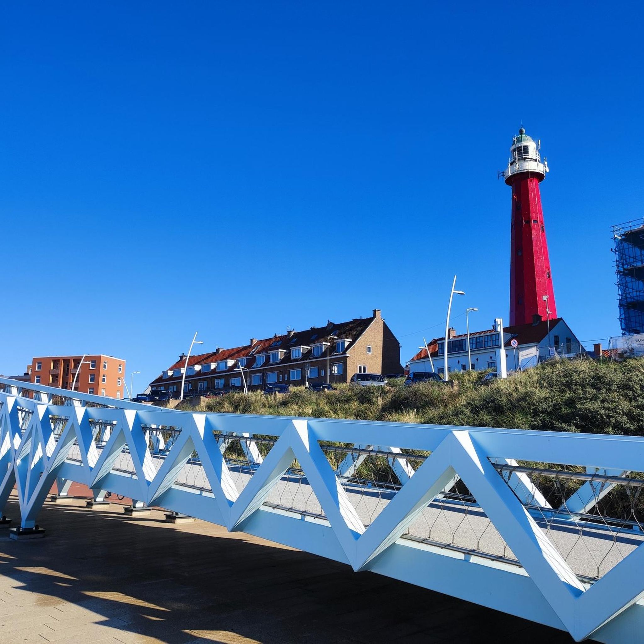
Traffic-free bike rides in the Santa Cruz Mountains
Other adventures in the Santa Cruz Mountains


Tips from the Community


Calero County Park is 4,471 acres with a diverse topography. The main feature is Calero Reservoir, which doesn't allow swimming, but you can wade. Calero Reservoir is interestingly the only body of water in Santa Clara County Parks that allows for boating year round.
0
0

The Oak Cove Trail in Calero County Park is a 5.6-mile out-and-back trail open for mountain biking, hiking, and trail running. The trail offers a mix of flat sections and gentle hills, making it accessible for beginners and families. Riders can enjoy scenic views of the reservoir and surrounding landscapes. The trail connects with the Lisa Killough Trail, allowing for extended rides within the park. While the path is mostly flat, there are a few small hills that may require less experienced riders or kids to dismount. The first hill at the beginning (and the last hill on the return) is probably the most challenging.
0
0
Calero County Park 4,400 acres park that features Calero Reservoir, a huge lake on the northern side of the park. This is the main entrance to the park with a big parking area, a visitor center, restrooms, picnic tables, and access to the Oak Cove Trail.
0
0
The Lisa Killough Trail is a popular blue-rated mountain biking trail that offers a casual climb with scenic views at the start, followed by a smooth, fun, and flowy descent toward the reservoir. It’s fairly beginner-friendly, but there are optional technical features along the way to add a bit of excitement for those seeking more variety.
0
0
Frequently Asked Questions
How many no-traffic touring cycling routes are available in the Santa Cruz Mountains?
There are over 130 dedicated no-traffic touring cycling routes available in the Santa Cruz Mountains. These routes cater to various skill levels, with 23 easy, 67 moderate, and 43 difficult options to explore.
What kind of terrain and elevation can I expect on no-traffic touring cycling routes in the Santa Cruz Mountains?
The Santa Cruz Mountains offer a diverse landscape for touring cyclists. You'll encounter towering redwood forests, rolling grasslands, and rugged coastal bluffs. Routes can feature significant elevation gains, such as the Bald Peaks loop via Oak Cove Trail & Chisnantuk Peak Trail, which climbs over 800 meters. Expect a mix of shaded forest paths and open ridgelines with varying grades.
Are there any family-friendly no-traffic touring cycling routes in the Santa Cruz Mountains?
Yes, the Santa Cruz Mountains offer several family-friendly options. Many of the 23 easy routes are suitable for families. While specific routes are not listed as 'family-friendly' in the data, trails with gentler grades and shorter distances, often found within state parks, are generally good choices. Always check the route details for distance and elevation before heading out with children.
What are some scenic viewpoints or natural features I can see along these routes?
The Santa Cruz Mountains are rich in natural beauty. You can find breathtaking views from coastal bluffs, serene redwood forests, and picturesque grasslands. Highlights include Skeggs Point, which offers expansive vistas. You might also encounter stunning waterfalls like Castle Rock Falls or Sempervirens Falls, providing refreshing stops along your ride.
When is the best time of year to go touring cycling in the Santa Cruz Mountains?
The Santa Cruz Mountains generally offer pleasant cycling conditions year-round due to their mild climate. However, spring and fall are often considered ideal, with comfortable temperatures and less chance of extreme weather. Summer can be warm, especially inland, while winter brings more rain, though many days remain suitable for riding.
Are there any circular no-traffic touring cycling routes available?
Yes, many of the no-traffic touring cycling routes in the Santa Cruz Mountains are designed as loops, allowing you to start and end at the same point. Examples include the Bay Area Ridge Trail: Calero Park Loop and the Bald Peaks Loop. These circular routes are convenient for day trips and exploring different sections of the mountains.
What do other touring cyclists enjoy most about cycling in the Santa Cruz Mountains?
The Santa Cruz Mountains are highly rated by the komoot community, with an average score of 4.7 stars. Reviewers often praise the region's stunning natural beauty, the variety of terrain from redwood forests to coastal views, and the peaceful, traffic-free nature of the routes, which allows for an immersive outdoor experience.
Are there any routes that pass by significant landmarks or points of interest?
Absolutely. Many routes offer opportunities to see notable landmarks. For instance, some trails might lead you near historic sites like 19th-century limekilns or offer views of Loma Prieta, the tallest mountain in the range. You can also find routes that provide access to areas with unique features like the White Oak Trail or the North Leaf Trail, which are popular among cyclists.
How long are the no-traffic touring cycling routes in the Santa Cruz Mountains?
The length of no-traffic touring cycling routes varies significantly. You can find shorter loops, like the Bald Peaks Loop at approximately 12.9 km, perfect for a shorter ride. Longer and more challenging routes, such as the Wilson Peak & Henry W. Coe State Park loop from Gilroy, can extend over 50 km, offering a full day's adventure.
Are there any hidden gems or less-known routes for touring cyclists?
While specific 'hidden gems' are subjective, exploring the less-trafficked sections of larger trail networks like the Bay Area Ridge Trail can reveal quieter paths. Routes that venture deeper into state parks, away from main access points, often provide a more secluded experience. Look for routes with fewer reviews or those that explore diverse ecosystems beyond the most popular redwood groves.
What are the options for parking when accessing these no-traffic routes?
Parking availability varies depending on the specific trailhead. Many state parks and county parks in the Santa Cruz Mountains offer designated parking areas, though some may require a day-use fee. It's advisable to check the starting point of your chosen route for specific parking information and any potential restrictions or fees beforehand.
Most popular routes in the Santa Cruz Mountains
Most popular attractions in the Santa Cruz Mountains

Get inspired with the komoot mobile app


Explore more
Browse the best Cycling routes in other regions.
