The best traffic-free bike rides in Haute-Saône
4.4
(812)
23,663
riders
801
rides
No traffic road cycling routes in Haute-Saône traverse a landscape characterized by diverse terrain, from the gentle undulations of the Saône and Ognon Valleys to the more challenging hills of the Southern Vosges. The region features extensive forested areas, such as the Forest of Chaux, and the unique Plateau des Mille Étangs, known for its numerous ponds and meadows. This varied topography provides a range of cycling experiences, from peaceful greenways to demanding ascents.
Best no traffic road cycling routes…
Last updated: October 1, 2026
5.0
(12)
110
riders
34.7km
01:53
720m
710m
Moderate road ride. Good fitness required. Mostly well-paved surfaces and easy to ride.
4.9
(28)
1,367
riders
71.8km
04:35
2,050m
2,050m
Hard road ride. Very good fitness required. Some segments of this route may be unpaved and difficult to ride.

5.0
(5)
43
riders
23.6km
01:10
370m
370m
Moderate road ride. Good fitness required. Mostly well-paved surfaces and easy to ride.
4.3
(6)
22
riders
40.6km
01:51
430m
430m
Moderate road ride. Good fitness required. Mostly well-paved surfaces and easy to ride.
2.4
(9)
14
riders
46.7km
02:06
270m
270m
Moderate road ride. Good fitness required. Mostly well-paved surfaces and easy to ride.
Get access to more routes and recommendations from other explorers.
Already have an account?
Our route recommendations are based on thousands of hikes, rides, and runs completed by other people on komoot.
Start today with a free account
Your next adventure awaits.
Popular around Haute-Saône
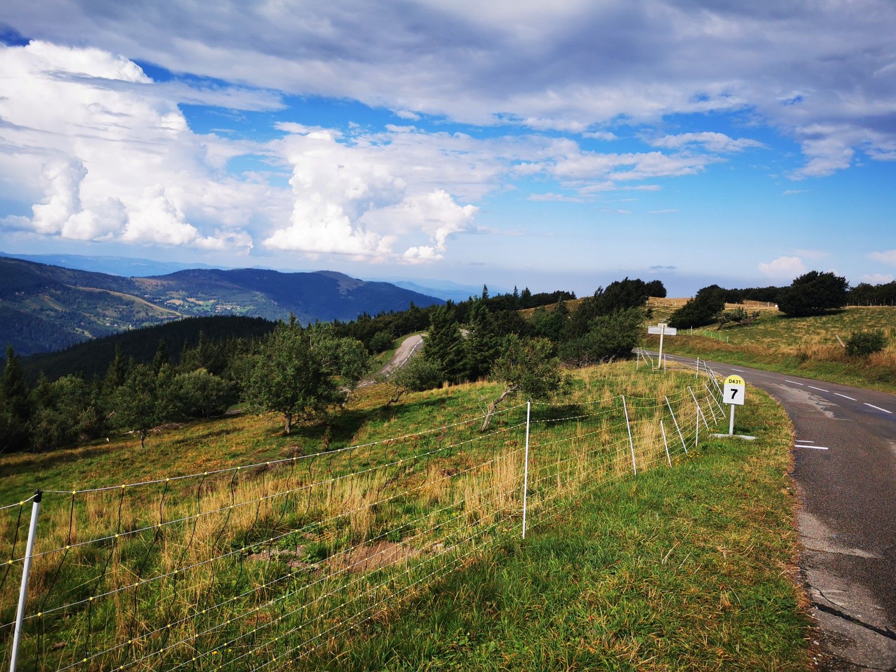
Climbing the Vosges in France — Les 3 Ballons

Legendary passes of the Tour de France
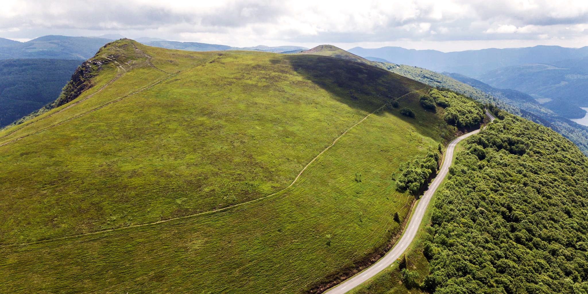
Beautiful passes In the Vosges Mountains
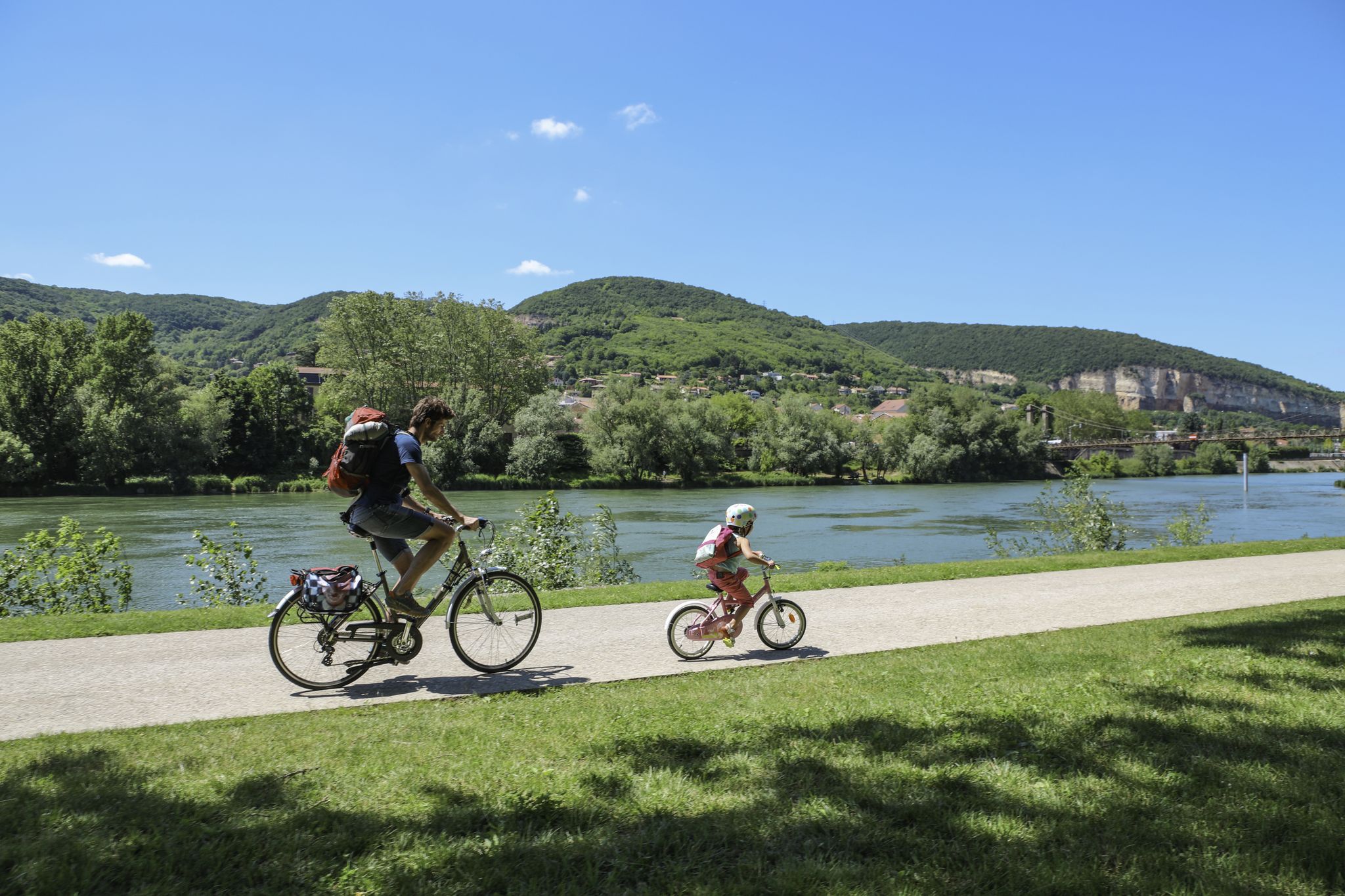
The Voie Bleue – Moselle-Saône by bike

Naples to North Cape — Two friends, one purpose and many scoops of ice-cream
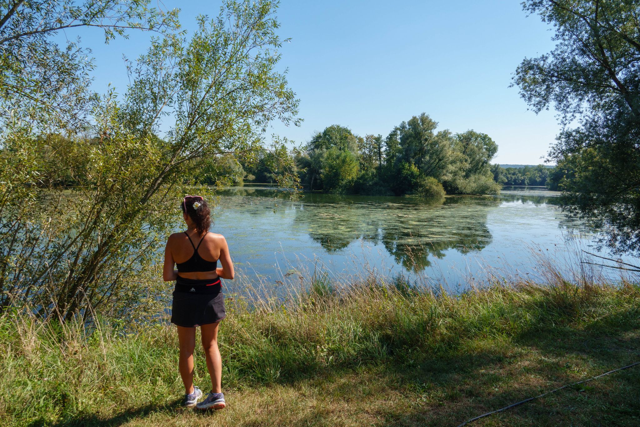
Hiking in the Vallée de l’Ognon — between villages, forests and rivers
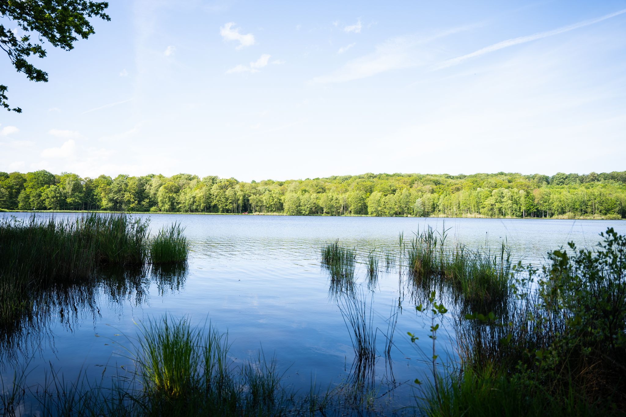
10 wonderful hikes in the Southern Vosges
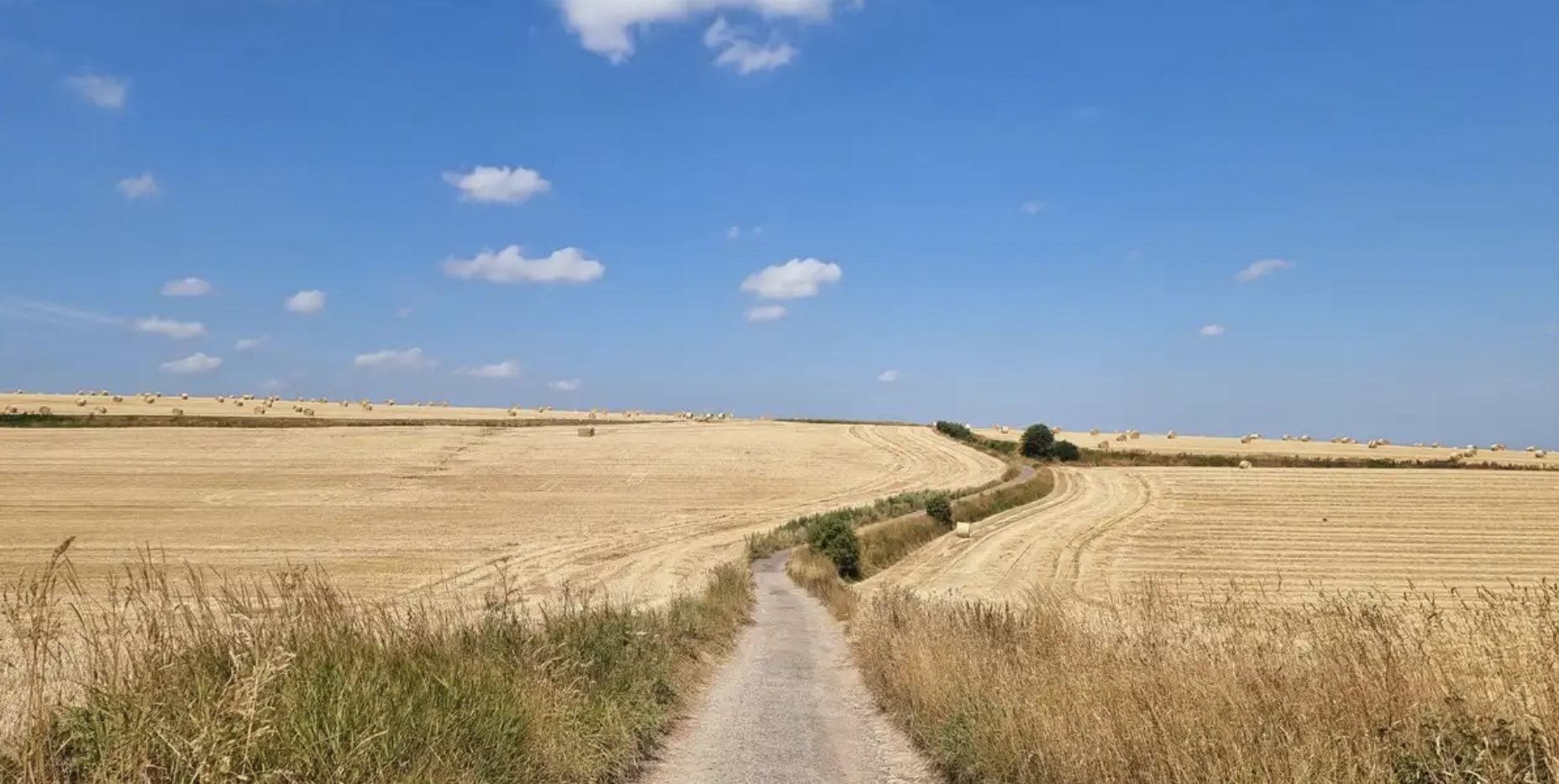
In the footsteps of History — GR 145, the Via Francigena
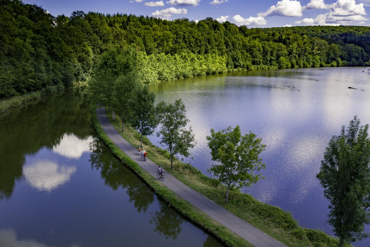
La Voie Bleue — “Cycle Route of the Year 2026”

From the Vosges to the Jura mountains – Hexatrek, le Grand Est
Other adventures in Haute-Saône


Tips from the Community

De Col des Croix is a 679-meter-high mountain pass in the French Vogezen massif, located on the border of the Vosges and Haute-Saône departments. The pass forms an accessible connecting road (the D486) between the northern Le Thillot and the southern Servance. At the top, you will find the well-known Le Chalet Snack du Col des Croix, and the road splits towards the D16 (Route des Forts), the route that continues to the higher Ballon de Servance.
6
0
The end of the climb is somewhat disappointing. There is nothing marked. No photo opportunity. You have a small parking lot, a closed military road, and a picnic spot well hidden under the trees. At the two yellow signs (mainly for hikers) there is the only indication that you are at the Ballon de Servance and at 1158 m. The climb is "cozy". No cars, completely shaded, a few kilometer markers.
7
0
La Planche des Belles Filles is a 5.8 kilometer climb. It is a category 1 climb. It is located in Plancher Les Mines, Franche-Comté, France. The average gradient of this climb is 8.6% with a maximum of 13.6%. La Planche des Belles Filles climbs from 527 meters at the start to 1,033 meters at the summit, for a total elevation gain of 506 meters.
7
0
This 5.9-kilometer climb from the village of Plancher-les-Mines in Haute-Saône is one of the most difficult in the Vosges. Indeed, cyclists who want to try it will need to be at least somewhat trained. With a gradient of 24% towards the end of the route, it's better to be well-attached. The gradient never seems to ease, with its hairpin bends and, upon reaching the resort, the last 2 kilometers rise like a wall. However, you'll be able to say that you've done it, so come and try the climb of La Planche too!
8
0

Super tough to get there...
0
0
A small pass after the Ballon de Severance. Refreshment stand with a view.
3
0
It starts gently... but that's just the beginning.
1
0
Long hesitated to do it. Short but very hard, with the Pinot turn and the last ramp of the super board to tell yourself that it's really hard.
0
0
Frequently Asked Questions
How many no-traffic road cycling routes are available in Haute-Saône?
Haute-Saône offers a substantial network of road cycling routes designed for low traffic. Komoot lists over 770 routes in the region, with many specifically curated for a car-free or low-traffic experience. The region itself boasts 21 signposted cycling routes and a vast network of greenways and cycle paths, perfect for exploring without vehicle interference.
Are there easy, beginner-friendly no-traffic road cycling routes in Haute-Saône?
Yes, Haute-Saône provides numerous options for beginners and those seeking a relaxed pace. Out of over 770 routes, 172 are rated as easy, often following greenways built on former railway lines or towpaths. These routes typically feature minimal elevation gain and are ideal for a gentle ride. An example is the La Mer Loop Trail, which is moderate but offers a relatively shorter distance.
What kind of terrain can I expect on no-traffic road cycling routes in Haute-Saône?
The terrain in Haute-Saône is quite varied. You'll find gentle routes through valleys and along rivers like the Saône and Ognon, as well as more challenging, hilly sections, particularly in the Southern Vosges. Many no-traffic routes utilize greenways, offering flat and smooth surfaces, while others might include winding roads through rural landscapes and forests.
Are there any circular no-traffic road cycling routes in Haute-Saône?
Yes, many routes in Haute-Saône are designed as loops, allowing you to start and end in the same location. The region is known for its network of loops and cycle paths. For example, the Loop of the Petite Finlande starting from Faucogney-et-la-Mer offers a circular experience through a unique landscape.
What are some notable natural attractions or landscapes I can see along these routes?
Haute-Saône is rich in natural beauty. You can cycle through the enchanting Plateau des Mille Étangs, often called 'Little Finland,' characterized by numerous ponds and forests. The Vosges Mountains (Vosges du Sud) offer rugged terrain and unspoilt nature. The Saône and Ognon Valleys provide picturesque river views. You might also encounter highlights like Planey Spring or various lakes such as Étang de la Peau.
Are there any challenging no-traffic road cycling routes for experienced cyclists?
Absolutely. For seasoned cyclists, Haute-Saône offers demanding routes, especially in the Southern Vosges. The ascent of La Planche des Belles Filles is a legendary climb, famously featured in the Tour de France, rewarding riders with panoramic views. A challenging route incorporating this climb is the La Planche des Belles Filles – Ballon de Servance loop from Servance-Miellin, which includes significant elevation gain.
What is the best season for no-traffic road cycling in Haute-Saône?
While cycling is enjoyable throughout much of the year, spring and autumn generally offer the most pleasant conditions with milder temperatures and beautiful scenery. Summer can also be excellent, especially for routes that pass through shaded forests. The region's diverse landscapes are particularly vibrant during these seasons.
Can I find routes that pass by places to eat or have cafe stops?
Many routes in Haute-Saône pass through charming villages and towns where you can find cafes, bakeries, and restaurants. While specific cafe stops aren't always marked on every route, planning your ride through larger towns like Vesoul or Luxeuil-les-Bains will provide ample opportunities for refreshments. The Monts de l'Ognon Loop, for instance, winds through verdant rural landscapes and charming villages where you can often find local establishments.
What do other road cyclists enjoy most about road cycling in Haute-Saône?
The area is highly rated by the komoot community, with an average score of 4.4 stars. Reviewers often praise the region's diverse landscapes, from the serene Plateau des Mille Étangs to the challenging Vosges climbs, and the extensive network of low-traffic routes that allow for peaceful and immersive cycling experiences.
Are there any historical or cultural landmarks along the no-traffic routes?
Yes, Haute-Saône blends natural beauty with rich heritage. You might encounter the iconic Notre-Dame du Haut Chapel in Ronchamp, a UNESCO World Heritage site designed by Le Corbusier. The Château de Ray-sur-Saône, overlooking the Saône valley, also offers historical insight. While not directly on every no-traffic route, many cycling paths are within easy reach of these significant landmarks.
How can I find parking for these quiet road bike trails in Haute-Saône?
Many of the cycling routes and greenways in Haute-Saône have designated parking areas at their starting points or in nearby villages. Larger towns like Vesoul, Luxeuil-les-Bains, or Faucogney-et-la-Mer (a starting point for the Loop of the Petite Finlande) typically offer public parking facilities. It's advisable to check the specific route details on komoot for recommended parking spots.
Is it possible to access these traffic-free bike paths using public transport?
Haute-Saône's public transport network, while not as extensive as major urban areas, does connect to several towns and villages that serve as starting points for cycling routes. Regional buses and some train lines might allow for bicycle transport, though it's essential to check specific operator policies and schedules in advance. For more detailed information on getting around by bike in the region, you can consult the official Haute-Saône tourism website: hautesaonetourisme.com.
Most popular routes in Haute-Saône
Most popular attractions in Haute-Saône

Get inspired with the komoot mobile app


Explore more
Browse the best Road cycling routes in other regions.
