The best hikes from bus stations in Massa-Carrara
4.5
(3486)
17,519
hikers
164
hikes
Hiking in Massa-Carrara, located in Tuscany, Italy, features diverse landscapes ranging from the rugged peaks of the Apuan Alps to lush forests and coastal views. The region is characterized by dramatic karst formations, unique marble quarries, and an extensive network of trails. Hikers can explore varied terrain, from high mountain paths offering panoramic vistas to gentler routes closer to the Tyrrhenian Sea.
Best bus station hiking trails in Massa-Carrara
- The most popular bus station hiking route is Castello di Fosdinovo…
Last updated: October 10, 2026
4.5
(10)
30
hikers
7.48km
02:12
220m
220m
Moderate hike. Good fitness required. Easily-accessible paths. Suitable for all skill levels.
4.0
(9)
224
hikers
Easy hike. Great for any fitness level. Easily-accessible paths. Suitable for all skill levels.

3.0
(7)
89
hikers
15.2km
03:49
10m
10m
Moderate hike. Good fitness required. Easily-accessible paths. Suitable for all skill levels.
5.0
(1)
15
hikers
4.51km
01:12
40m
40m
Easy hike. Great for any fitness level. Easily-accessible paths. Suitable for all skill levels.
5.0
(10)
34
hikers
Moderate hike. Good fitness required. Mostly accessible paths. Sure-footedness required.
Get access to more routes and recommendations from other explorers.
Already have an account?
Our route recommendations are based on thousands of hikes, rides, and runs completed by other people on komoot.
Start today with a free account
Your next adventure awaits.
Popular around Massa-Carrara

Berceto to Abetone – Alta Via dei Parchi (part 1)
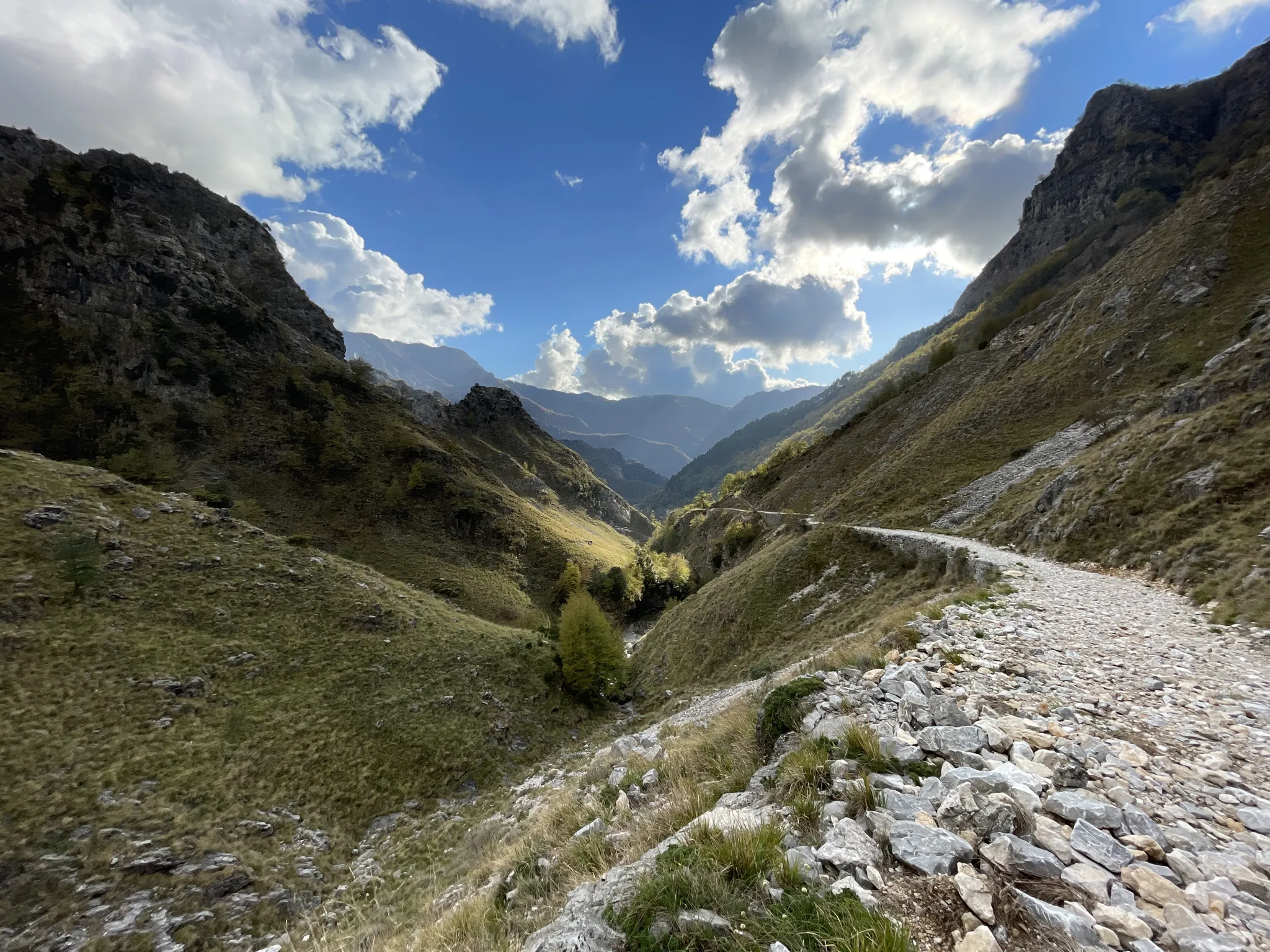
18th-century route from Modena to Massa – Via Vandelli
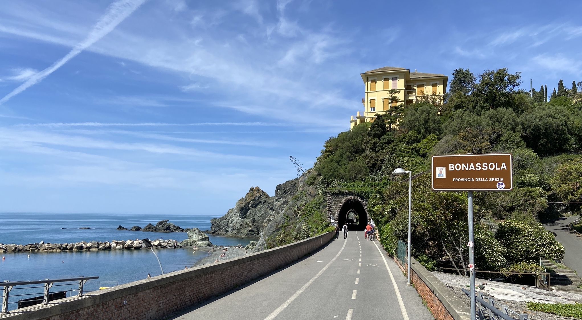
Pedalling to Portofino and the Cinque Terre — sea and mountains
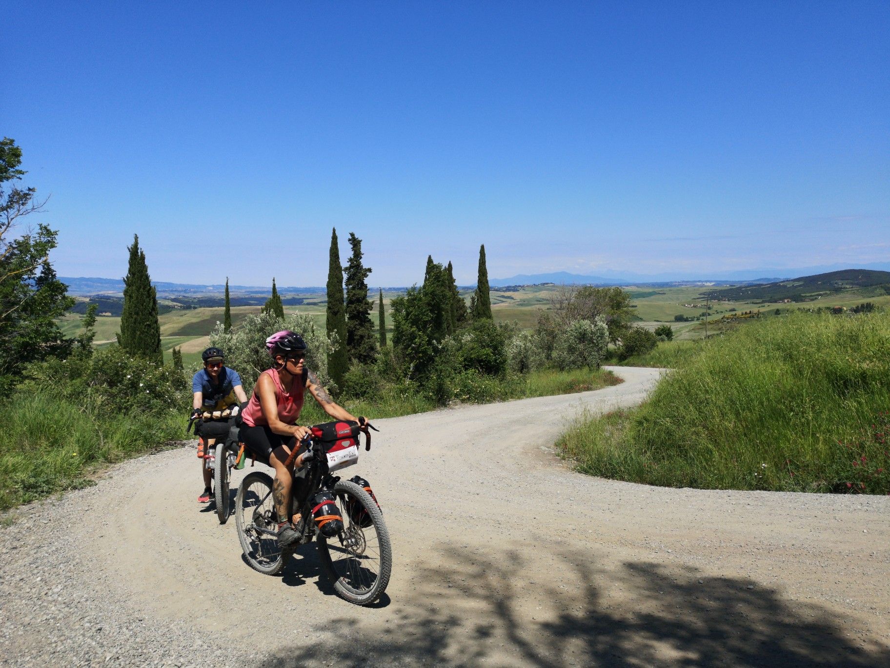
The Tuscany Trail – bikepacking in the heart of Italy
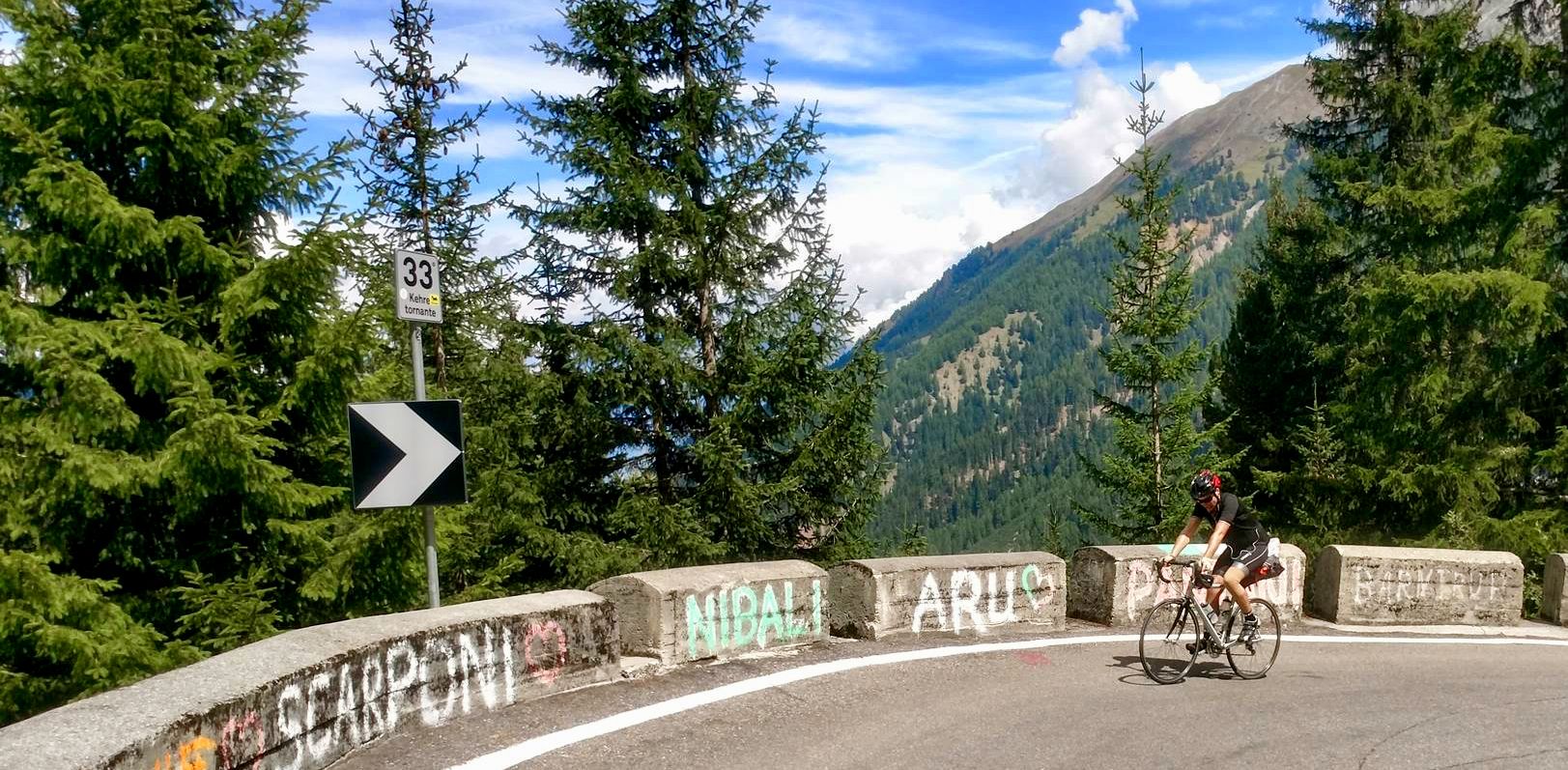
From the mountains to the sea — road cycling in Northern Italy
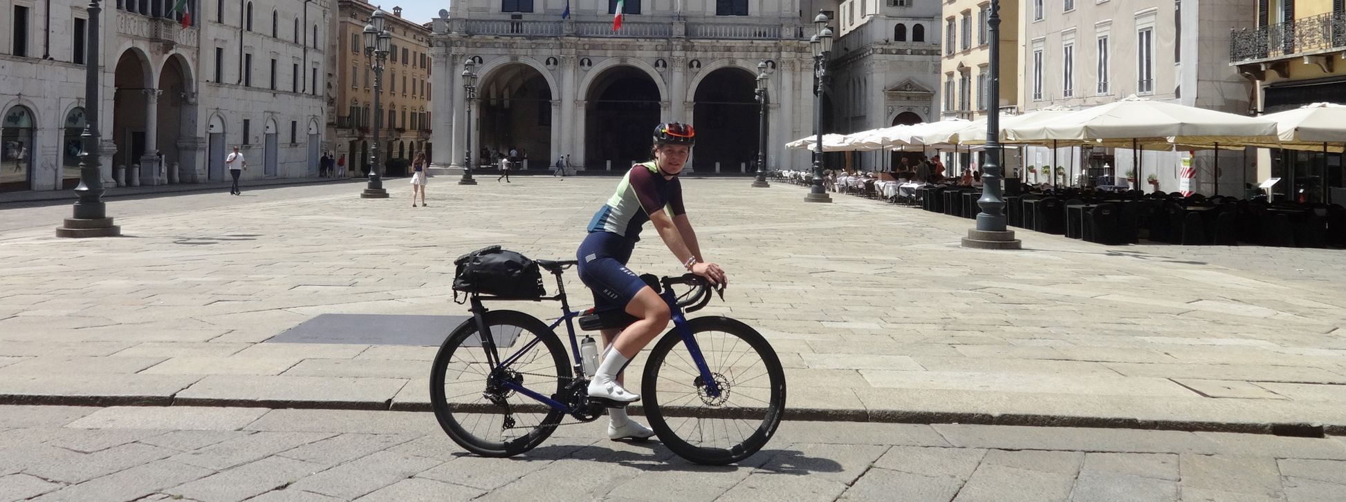
The Pizza Pilgrimage – Milan to Naples, fuelled by pizza

Interiora - A Journey into the Remote Areas of Italy
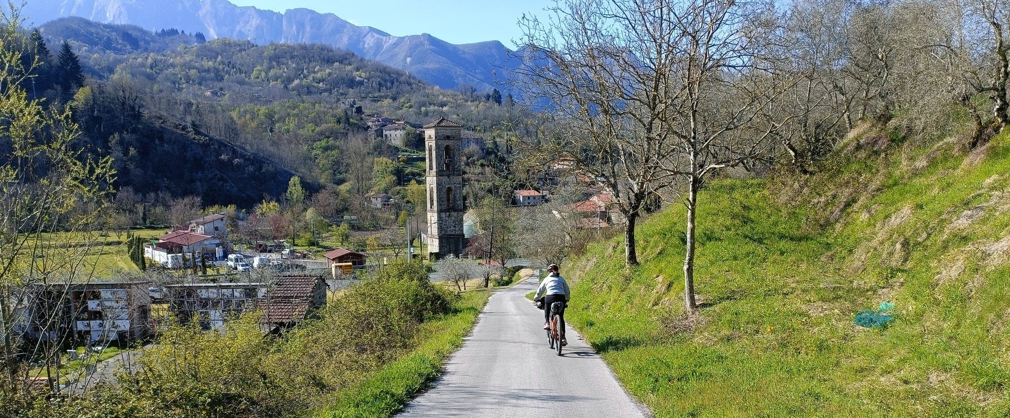
Mediaeval villages and sublime nature – Lunigiana Gravel
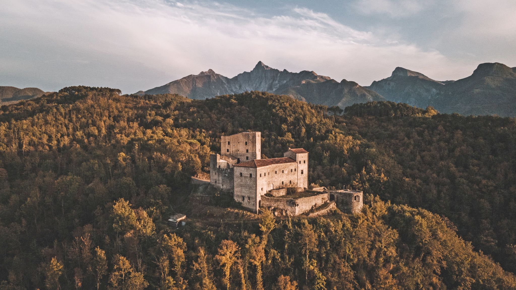
Through history between Lunigiana and Garfagnana – Via del Volto Santo by MTB
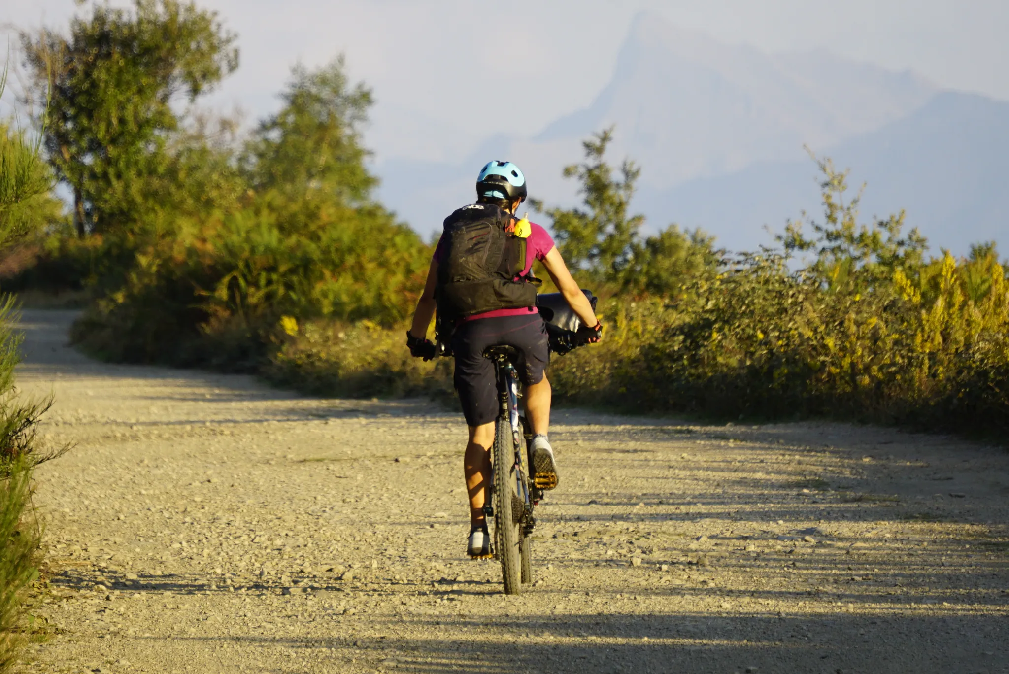
The land of 100 castles – Lunigiana Trail MTB
Other adventures in Massa-Carrara


Tips from the Community

A beautiful church with a huge dome and opulent baroque architecture
0
0
In the Centro Storico is the central main square, the Piazza della Repubblica
0
0
Pontremoli lies on the important historical pilgrimage route of the Via Francigena
0
0
Pontremoli, as the northernmost municipality of Tuscany, is also known as the "Gateway to Tuscany". It is a pretty medieval gem, nestled in a valley at the confluence of the Magra and Verde rivers and the hills of the Apuan Alps. The name probably derives from "Pons Tremulus" trembling bridge, a nod to a historic medieval wooden bridge over the rushing Magra river.
0
0
Pontremoli is a station for pilgrims on the Via Francigena on the way from Canterbury to Rome and is marked with pilgrim signposts.
0
0

The tour is not for everyone. The climb from Caniparola is very tough, at the beginning it starts immediately at 11%
1
0

The pier of Forte dei Marmi is one of the most recognizable symbols of the city, extending from the beach towards the sea. The pier is 275 meters long and is one of the most suggestive walks in the area, offering an open view of the Versilia coast and the Apuan Alps in the background. It is often used for both leisurely strolls and photo opportunities, especially at sunset. The surrounding area is very well-kept, with elegant beach establishments, tidy avenues, and a promenade along the seafront that makes the place particularly pleasant and frequented throughout the year.
1
0
Ciclovia della Versilia is a cycle-pedestrian path that runs along the Versilia coast for about 20 km, connecting locations such as Viareggio, Lido di Camaiore, Marina di Pietrasanta, and Forte dei Marmi. The route is flat and suitable for both bicycles and walks, making it accessible to everyone. Along the path, there are numerous green areas with well-kept plants, which accompany a large part of the journey and make the experience very pleasant even during the warmer periods. It is a widely used route for both sports and leisure, thanks to its continuity along the sea and the possibility to easily cross various tourist locations on the Versilia coast. Furthermore, during the route, I noticed a significant presence of surveillance, both private, related to the numerous villas in Forte dei Marmi, and by law enforcement. This situation conveys a sense of security, more pronounced than what is generally found in many other seaside resorts.
1
0
Frequently Asked Questions
How many hiking trails are accessible from bus stations in Massa-Carrara?
There are over 160 hiking routes in Massa-Carrara that are easily accessible from local bus stations, offering a wide range of experiences for all skill levels. This includes 66 easy, 75 moderate, and 22 difficult trails.
What kind of terrain can I expect on bus-accessible hikes in Massa-Carrara?
The terrain in Massa-Carrara is incredibly diverse, ranging from coastal paths to rugged mountain trails. You can expect to find routes along the Tyrrhenian coast, through lush forests, and into the dramatic landscapes of the Apuan Alps, which feature unique karst formations and the famous marble quarries. Some trails, like the Castello di Fosdinovo and surroundings — Ring tour, offer a mix of historical sites and natural beauty.
Are there any easy, family-friendly hikes accessible by bus in Massa-Carrara?
Yes, Massa-Carrara offers several easy routes suitable for families. For instance, the Marina di Carrara Harbour Wall – Faro del Molo di Ponente loop from Marina di Carrara is an easy coastal walk. The Campocecina area is also known for its accessible meadows and the 'Anello del Ballerino educational trail,' which is ideal for families, though specific bus routes to its direct start point should be checked locally.
Can I bring my dog on these bus-accessible hiking trails?
Many trails in Massa-Carrara are dog-friendly, especially those in natural parks and less crowded areas. However, it's always recommended to keep dogs on a leash, especially in protected areas or near livestock. Specific rules may apply in certain nature reserves, so check local signage. Coastal walks like the Largo Marina d'Italia loop from Marina di Carrara are generally suitable for dogs.
What are the best times of year to hike in Massa-Carrara from a bus station?
Spring (April-June) and autumn (September-October) are generally the best times for hiking in Massa-Carrara, offering pleasant temperatures and vibrant scenery. Summer can be hot, especially at lower elevations and along the coast, but higher altitude trails in the Apuan Alps provide cooler conditions. Winter hiking is possible, particularly on lower trails, but higher mountain routes may require specialized gear due to snow and ice.
Are there any circular hiking routes starting from bus stations?
Yes, many of the bus-accessible routes are circular, allowing you to return to your starting point without needing additional transport. Examples include the Castello di Fosdinovo and surroundings — Ring tour and the Monte Valoria Ridge Trail – Passo della Cisa loop from Passo della Cisa.
What natural features or landmarks can I see along these trails?
Massa-Carrara's trails offer a wealth of natural and historical sights. You can explore the dramatic white marble quarries, unique karst formations, and lush forests of the Apuan Alps. Highlights include views from Mount Sagro, the scenic Tambura Pass, and various historical sites like the Piagnaro Castle or the Ducal Palace of Massa.
Are there any permits required for hiking in Massa-Carrara?
Generally, no specific permits are required for day hiking on marked trails in Massa-Carrara. However, if you plan to undertake more challenging activities like speleology or access certain protected areas off-trail, it's advisable to check with the Apuan Alps Regional Nature Park authority for any specific regulations or permits. For general hiking, you can freely enjoy the extensive trail network.
What do other hikers enjoy most about the bus-accessible trails in Massa-Carrara?
The komoot community highly rates the hiking experiences in Massa-Carrara, with an average score of 4.5 stars. Reviewers often praise the stunning contrasts between the rugged Apuan Alps and the coastal views, the unique experience of hiking near the marble quarries, and the variety of trails suitable for different fitness levels. The accessibility via public transport is also frequently highlighted as a major benefit.
Are there any coastal walks accessible by bus in Massa-Carrara?
Yes, the region offers pleasant coastal walks that are easily reached by bus. The Marina di Carrara Harbour Wall – Faro del Molo di Ponente loop from Marina di Carrara and the Faro del Molo di Ponente – Marina di Carrara Harbour Wall loop from Marina di Carrara are excellent examples, providing flat terrain and sea views.
What should I wear for hiking in Massa-Carrara during summer?
For summer hiking in Massa-Carrara, especially on coastal or lower-altitude trails, lightweight, breathable clothing is essential. Opt for moisture-wicking fabrics, a wide-brimmed hat, sunglasses, and plenty of sunscreen. Even in summer, if you plan to hike in the Apuan Alps, bring layers as temperatures can drop at higher elevations, and always carry enough water.
Most popular routes in Massa-Carrara
Most popular attractions in Massa-Carrara

Get inspired with the komoot mobile app


