The best hikes from bus stations in Diekirch Canton
4.4
(24438)
101,127
hikers
347
hikes
Bus station hiking trails in Diekirch Canton traverse a landscape characterized by forested mountain ranges and the meandering River Sûre. The region, part of Luxembourg's Éislek and Mullerthal areas, features unique rock formations, dense forests, and clear streams. This diverse terrain provides a variety of hiking experiences, from riverside paths to routes through rugged valleys.
Best bus station hiking trails in Diekirch Canton
- The most popular bus station hiking route is Éislek Pad Bourscheid, a 9.2 miles (14.8 km)…
Last updated: November 17, 2026
4.7
(126)
498
hikers
9.12km
02:57
390m
390m
Moderate hike. Good fitness required. Easily walkable paths.
4.6
(114)
461
hikers
14.8km
04:33
500m
500m
Moderate hike. Good fitness required. Easily walkable paths.

4.7
(32)
146
hikers
20.0km
05:52
550m
550m
Hard hike. Very good fitness required. Easily walkable paths.
4.9
(15)
71
hikers
13.3km
03:48
290m
290m
Moderate hike. Good fitness required. Easily walkable paths.
4.1
(10)
65
hikers
7.03km
01:59
150m
150m
Easy hike. Easily walkable paths.
Get access to more routes and recommendations from other explorers.
Already have an account?
Our route recommendations are based on thousands of hikes, rides, and runs completed by other people on komoot.
Start today with a free account
Your next adventure awaits.
Popular around Diekirch Canton
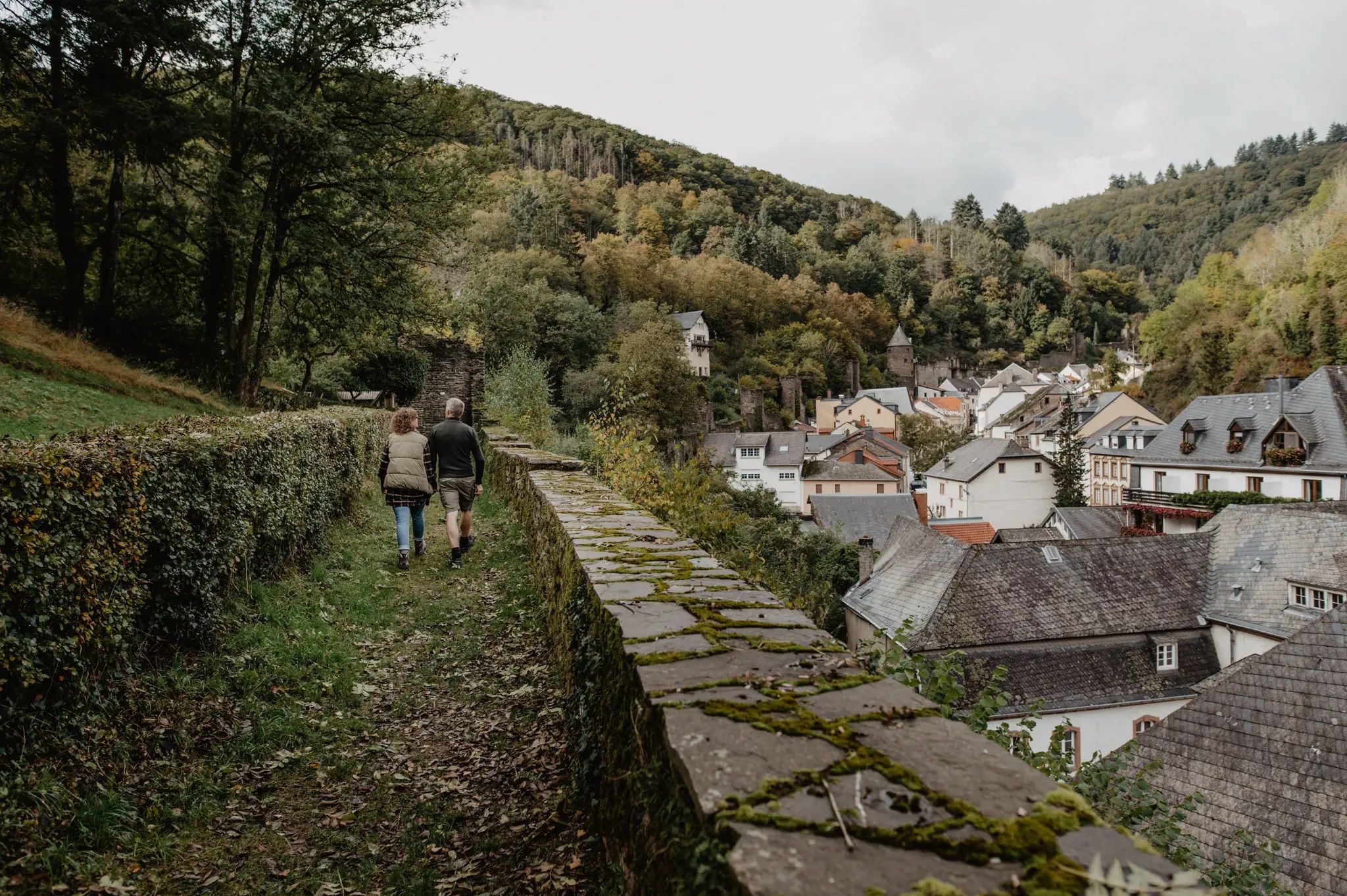
Enjoy the silence – autumn and winter hiking in Luxembourg

Hits for Kids — Mullerthal
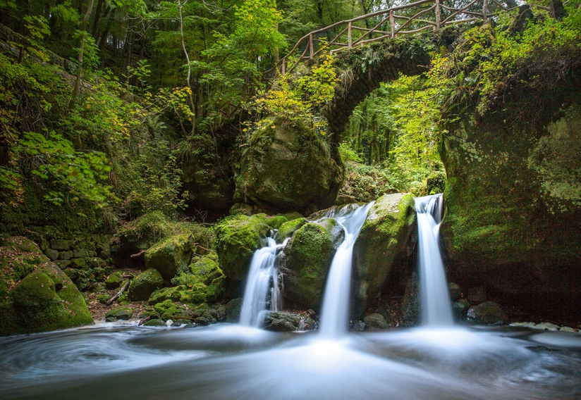
Mullerthal Trail - The most beautiful routes across Luxembourg's Little Switzerland

Thematic Trails - Hidden stories of the Mullerthal Region

Our tour suggestions - Highlight hiking tours in the heart of the Mullerthal Region
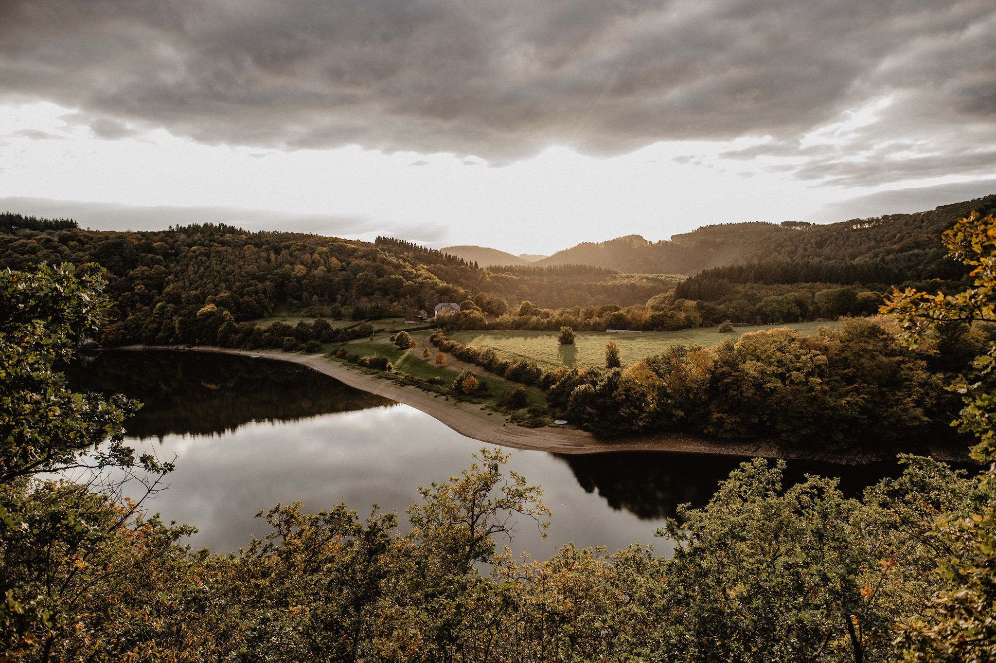
Éislek Wanderlust – The most beautiful hiking trails in the north of Luxembourg
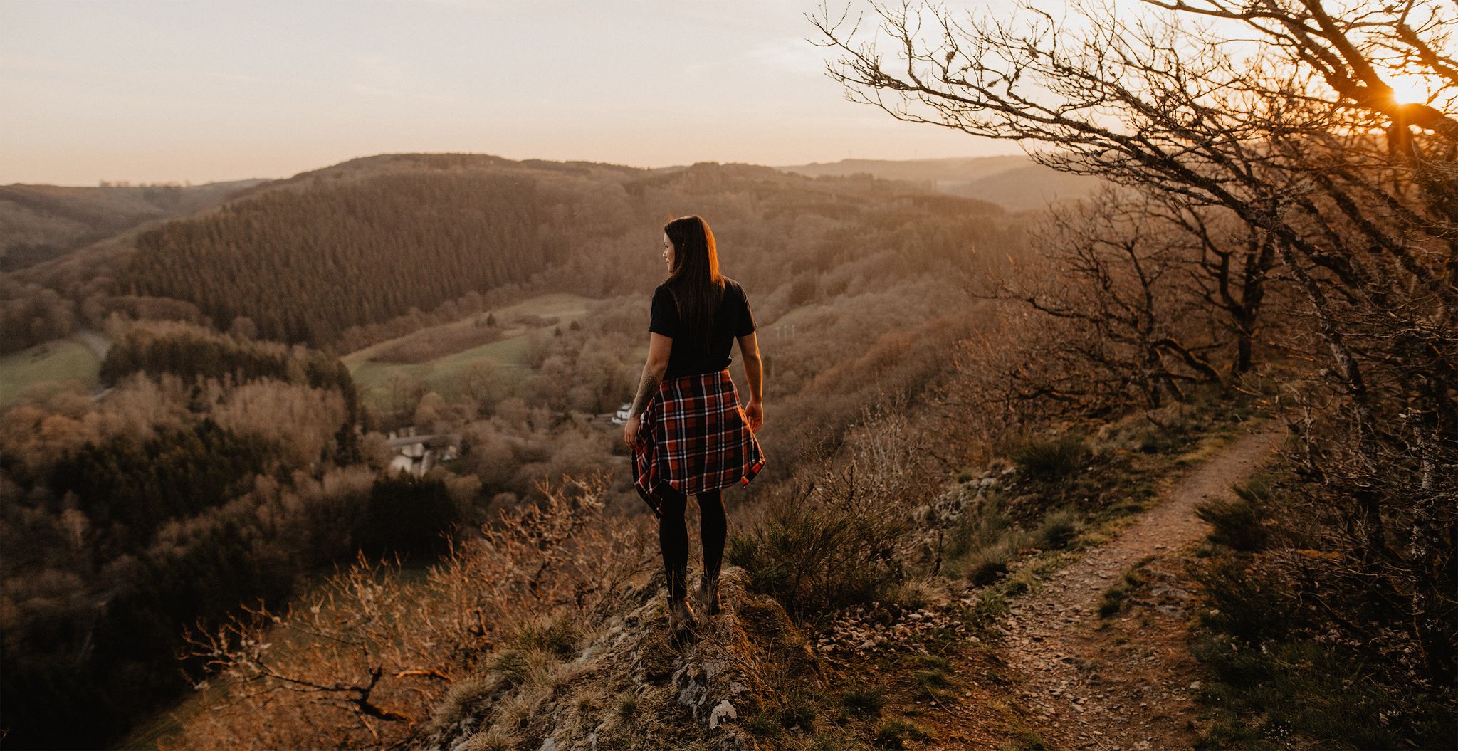
Éislek Pied - 18 top hiking trails in the north of Luxembourg

8 days of borderless hiking in the Ardennes – the Lee & Éislek Trail
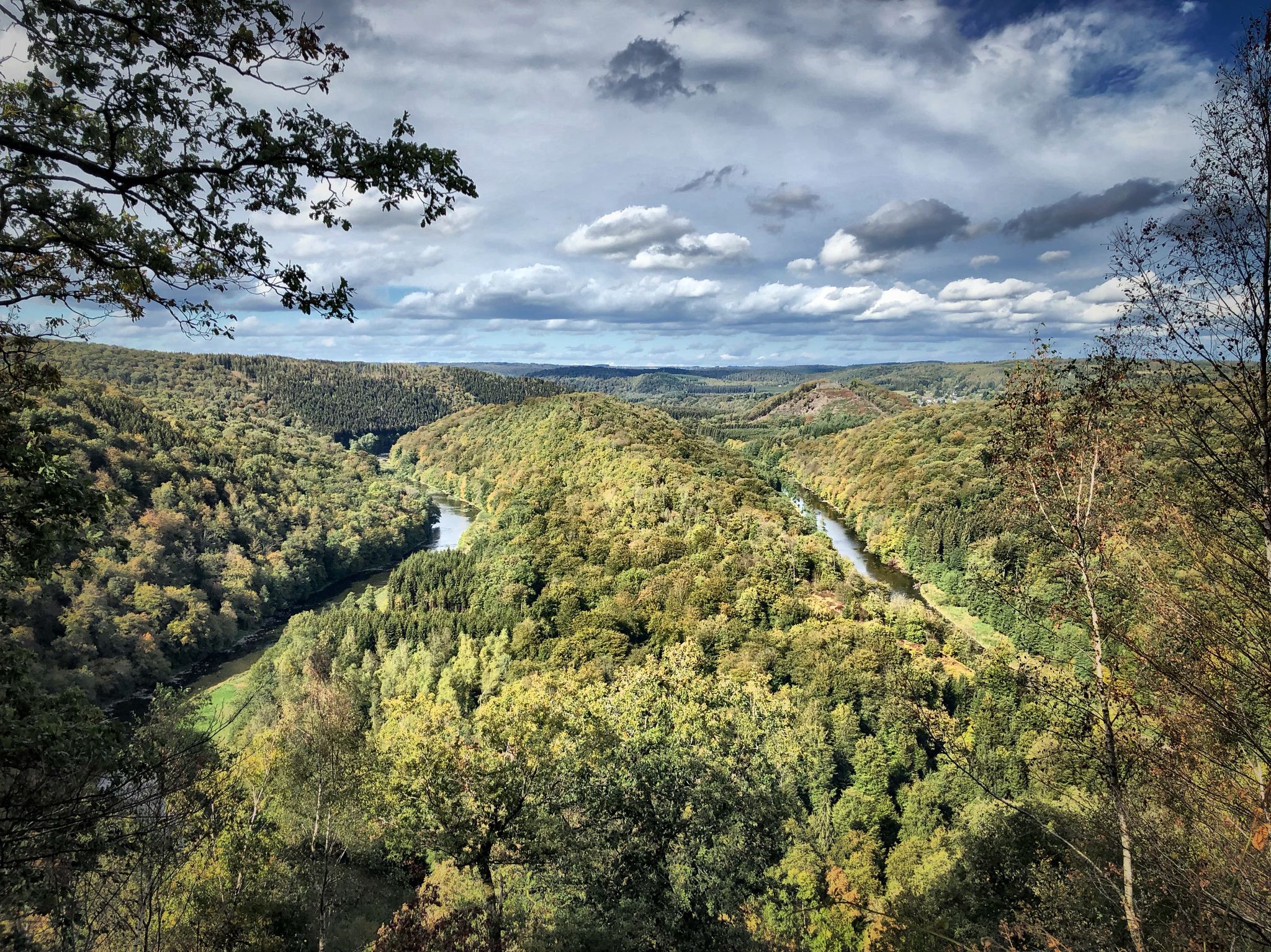
Running an ultra in Belgium – long trails in a small country

Road Cycling — Speeding through the Mullerthal Region
Other adventures in Diekirch Canton


Tips from the Community


A lovely spot to rest after a strenuous climb. The stunning view is a reward...
1
0

A very special vantage point in the heart of the Éislek: The Napoleonknöpfchen (Napoleon's Button) marks the former "Napoleon's Tree" (Napoleon's Beemchen) – today a striking commemorative plaque commemorates it. The platform offers a fantastic panoramic view and a telescope. The final, sweat-free ascent along the Escapardenne long-distance hiking trails is well worth the effort.
0
0
A truly impressive natural monument: The Doigt de Dieu (Finger of God) is a striking rock formation above Dirbach.
4
0

Great viewpoint, but the trail is very technical and tricky.
1
0

Nice and flat stretch between all the climbing and descending.
0
0
Frequently Asked Questions
How many bus station hiking trails are available in Diekirch Canton?
There are over 340 hiking trails in Diekirch Canton that are accessible from bus stations. These routes cater to various fitness levels, with 161 easy, 163 moderate, and 21 difficult options.
Are there any easy, family-friendly hikes accessible by bus in Diekirch Canton?
Yes, Diekirch Canton offers many easy routes suitable for families. For a pleasant and accessible walk, consider the SI 1: Schieren route, which is approximately 7 km long and rated easy.
What kind of natural landscapes can I expect to see on bus-accessible hikes in Diekirch Canton?
Diekirch Canton is characterized by its green, forested mountains and the meandering River Sûre. Many trails follow the riverbanks, offering picturesque views. You can also find unique rock formations, especially in areas bordering the Mullerthal Region, often called "Luxembourg's Little Switzerland".
Are there any circular hikes starting from a bus station in Diekirch Canton?
Yes, many routes in Diekirch Canton are designed as circular walks. For example, the Éislek Pad Bourscheid is a moderate circular trail of about 14.8 km, offering diverse scenery and starting points often near public transport.
What historical sites or landmarks can I explore along bus station hiking trails?
Diekirch Canton is rich in history. Along your hikes, you might encounter impressive castles like Bourscheid Castle or Birtrange Castle. Other notable sites include the Sainte Cunégonde Chapel and the ancient Deiwelselter (Devil's Altar).
Are there any challenging hikes accessible by bus in Diekirch Canton?
For experienced hikers seeking a challenge, Diekirch Canton offers several difficult routes. The ER 1: Erpeldange-sur-Sûre is a demanding 20 km trail with significant elevation gain, providing a rewarding experience.
What do other hikers enjoy most about the bus-accessible trails in Diekirch Canton?
The komoot community rates the trails in Diekirch Canton highly, with an average score of 4.4 stars from over 18,600 ratings. Hikers often praise the region's diverse natural beauty, well-maintained paths, and the convenience of accessing trailheads via public transport.
Can I find trails that offer scenic viewpoints accessible by bus in Diekirch Canton?
Absolutely. Many routes in Diekirch Canton lead to stunning vistas. For example, the difficult Herkuleskapp Rock Formation – View of Beaufort Castle loop from Wallendorf offers spectacular views, including those of Beaufort Castle, and can be reached using public transport connections to Wallendorf.
Are there dog-friendly hiking options from bus stations in Diekirch Canton?
Many trails in Diekirch Canton are dog-friendly, allowing you to explore with your canine companion. It's always recommended to keep dogs on a leash, especially in nature reserves or near livestock. Check individual route details on komoot for specific dog-friendly information.
What is the best time of year to hike in Diekirch Canton using public transport?
Spring and autumn are generally considered the best times for hiking in Diekirch Canton. The weather is mild, and the landscapes are particularly beautiful with blooming flowers or vibrant fall foliage. Public transport services are reliable year-round, making bus-accessible trails a great option in any season, though winter hikes require appropriate gear for potentially colder conditions.
Are there any trails near bus stops that feature unique natural formations?
Yes, Diekirch Canton is close to the Mullerthal Region, known for its distinctive rock formations. While specific bus routes might vary, you can find trails that lead to impressive geological features. The Herkuleskapp Rock Formation – View of Beaufort Castle loop from Wallendorf is one such route that showcases unique rock formations.
Most popular routes in Diekirch Canton
Most popular attractions in Diekirch Canton

Get inspired with the komoot mobile app


Explore more
Browse the best Hikes in other regions.
