The best hikes from bus stations in Buskerud
4.5
(3182)
16,524
hikers
347
hikes
Bus station hiking trails in Buskerud offer access to a diverse landscape spanning mountainous plateaus, forested valleys, and lowland basins. The region is characterized by significant natural features, including large lakes like Tyrifjorden and Krøderen, and rivers such as Numedalslågen. Hikers can explore terrain ranging from high, grassy pastures to dramatic gorges, providing varied experiences for outdoor enthusiasts.
Best bus station hiking trails in Buskerud
- The most popular bus station hiking route is Aklangen loop, a 6.1 miles (9.8…
Last updated: August 18, 2026
5.0
(1)
31
hikers
13.2km
05:23
1,020m
1,020m
Hard hike. Very good fitness required. Easily-accessible paths. Suitable for all skill levels.
3.0
(1)
5
hikers
4.24km
01:59
430m
430m
Moderate hike. Good fitness required. Easily-accessible paths. Suitable for all skill levels.

Sign up for free
8
hikers
12.8km
03:36
270m
270m
Moderate hike. Good fitness required. Easily-accessible paths. Suitable for all skill levels.
6
hikers
6.54km
02:09
320m
320m
Moderate hike. Good fitness required. Easily-accessible paths. Suitable for all skill levels.
5
hikers
7.59km
01:58
50m
50m
Easy hike. Great for any fitness level. Easily-accessible paths. Suitable for all skill levels.
Get access to more routes and recommendations from other explorers.
Sign up for free
Already have an account?
Our route recommendations are based on thousands of hikes, rides, and runs completed by other people on komoot.
Start today with a free account
Your next adventure awaits.
Login or Signup
Popular around Buskerud

Hikes from bus stations around Øyangen
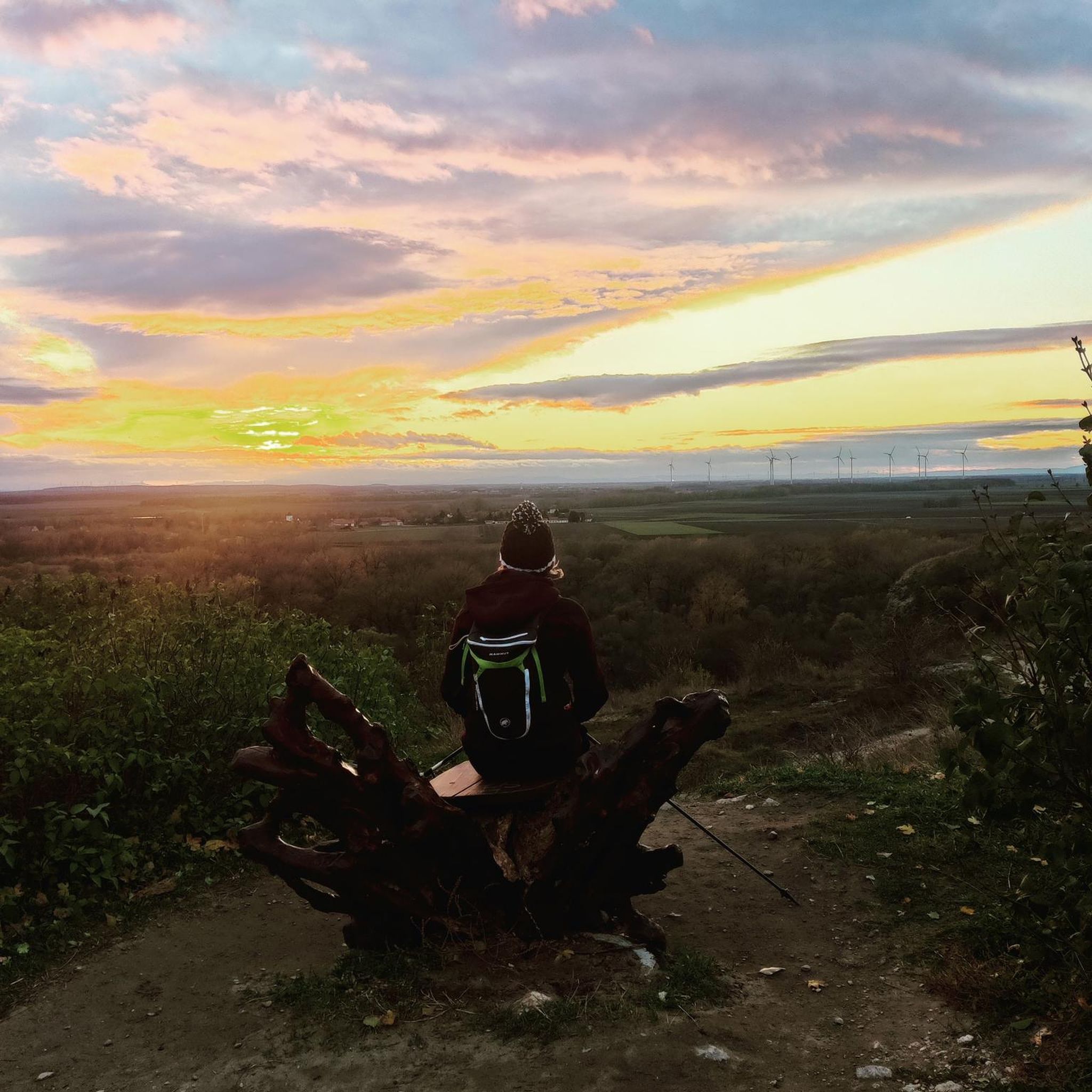
Hikes from bus stations around Tyrifjorden

Hikes from bus stations in Spålen-Katnosa Naturreservat

Hikes from bus stations around Hovsfjorden
Hikes from bus stations in Djupdalen Og Kjaglidalen Naturreservat

Hikes from bus stations around Ustevatn

Hikes from bus stations in Krokskogen Naturreservat

Hikes from bus stations in Strykenåsen Naturreservat

Hikes from bus stations in Nordre Tyrifjorden Og Storelva Naturreservat
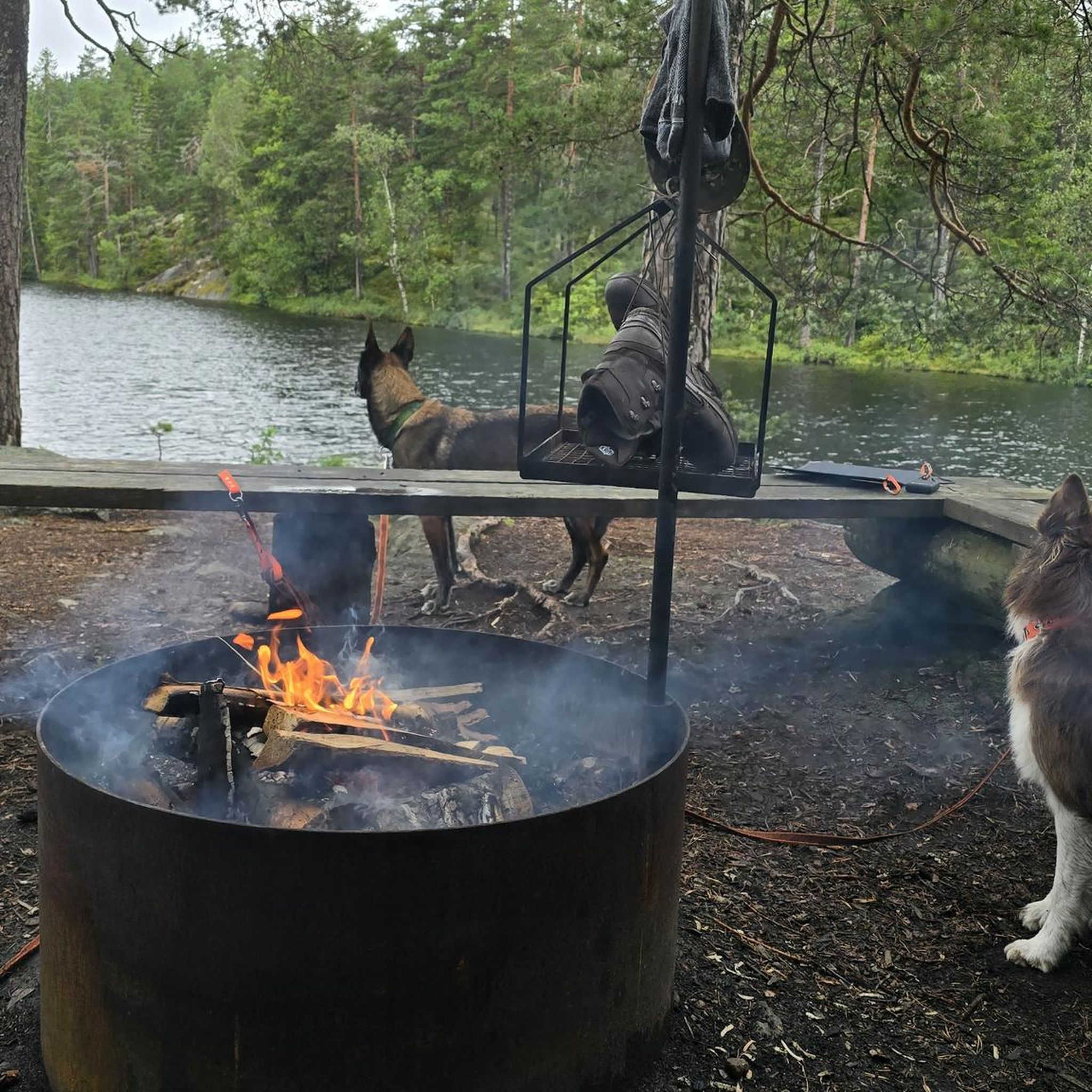
Hikes from bus stations in Ådalselva Naturreservat
Other adventures in Buskerud


Tips from the Community

Once you break above the trees on the hike up Stornatten, you're treated to superb views across Tunhovdfjorden. It's possible to link Stornatten with Taklinatten to the west, though this is a pathless linkup.
0
0
This is a beautiful woodland trail up towards Stornatten. The way is marked in blue and around the first 300 meters (980 ft) of elevation gain takes you through the trees. The final 100 meters (330 ft) emerges onto the open mountain and enjoys excellent views across Tundhovdfjorden.
0
0
The trail to the top of Stornatten is marked in blue and the trail is relatively indistinct. However, experienced hikers should have no trouble. The view of Skarpnor is impressive to the east, while the western aspect is dominated by Fauskofjellet.
0
0

Nestled in the middle of the Strømsåsen forest lies this small woodland pond. In summer, Blektjern invites you to take a dip from its wooden bathing dock. Right on the shore you'll find Blektjernstua, a cosy DNT cabin with eight sleeping spots that you can book for a night. If you just need a break, the rest area with a grill is also there for you. Drinking water is available at the outdoor pump all year round.
1
0

Stikkvannshytta Cabin, or as it is commonly referred to as 'Stikkvann Cabin', is a very popular outdoor hub for outdoor enthusiasts. It is set on the shores of Stikkvannet Lake in the Hurum forest in rather idyllic, scenic surroundings. It doesn't matter what your sport is, hiking, jogging, or winter skiing; the hut makes for a good rest stop for food or for a swim in the lake during summer months.
0
0
Kyrkjebønøse is a prominent 1,671-meter mountain that is located just north of Hemsedal in Buskerud. The area is known for challenging hikes, and this route is no exception. It's a 13-kilometre round trip with 1,000 metres of height gain coming up from Hemsedal. The hike is rugged and rocky, but on the way up there are scenic views off the ridge and great all-round panoramic views from the summit cairn.
0
0
The trail at Helgelandsmoen forest is a really good place for everyone. In fact, it is nearly perfect with well-marked trails, pleasant paths and road sections. It is easily accessible for most people and provides a beautiful forest environment to hike and run in.
0
0

Haukåstoppen offers a beautiful panoramic view over Drammen and the surrounding landscape. The short but rewarding hike takes you through peaceful forests before reaching the open summit.
0
0
Frequently Asked Questions
How many bus station hiking trails are available in Buskerud?
Buskerud offers a wide selection of hiking trails accessible directly from bus stations, with nearly 350 routes documented. This includes 141 easy, 176 moderate, and 29 difficult options, ensuring there's a suitable trail for every skill level.
Are there any easy, family-friendly hikes accessible by bus in Buskerud?
Yes, Buskerud has many easy trails perfect for families. For a gentle outing, consider the Loop around Lake Damtjern. This easy route offers pleasant scenery and is suitable for most ages. The region's diverse landscape, from forested valleys to lake shores, provides numerous accessible options.
What kind of views can I expect on bus-accessible hikes in Buskerud?
Buskerud's varied terrain means you can enjoy a range of scenic views. Many trails lead to mountain peaks or viewpoints offering panoramic vistas over valleys, lakes like Tyrifjorden and Krøderen, or even distant mountain ranges like Hallingskarvet. For example, the region boasts peaks such as Totten Summit and Ravnåstoppen (1,188 m), which provide excellent vantage points.
Are there any circular hiking routes starting from bus stations in Buskerud?
Yes, many bus-accessible trails in Buskerud are designed as circular routes, allowing you to start and end at the same point without needing to retrace your steps. An example is the Aklangen loop, which provides a moderate circular experience through varied terrain.
Can I find hikes with waterfalls or gorges near bus stops in Buskerud?
Buskerud is home to impressive natural features, including waterfalls and dramatic gorges. You can find trails that lead to sights like the beautiful Hivjufossen Waterfall. The region also features exciting gorges such as Kjøsterudjuvet and Asdølsjuvet, which offer unique hiking experiences through narrow, scenic landscapes.
What do other hikers say about the bus station trails in Buskerud?
The bus station hiking trails in Buskerud are highly regarded by the komoot community, with an average rating of 4.6 out of 5 stars from over 2,800 reviews. Hikers often praise the accessibility of the trails via public transport, the diverse landscapes, and the well-maintained paths that cater to various difficulty levels.
Are there any challenging day hikes accessible from bus stations in Buskerud?
For those seeking a more challenging experience, Buskerud offers several demanding day hikes. The Svarthetta Summit route, for instance, is a moderate but longer hike with significant elevation gain, rewarding you with expansive views from the top. Other options include trails leading to higher peaks in the region.
What kind of natural landscapes will I encounter on these hikes?
Buskerud's landscape is incredibly diverse. You'll find everything from mountainous plateaus, including parts of the vast Hardangervidda National Park, to forested valleys, lowland basins, and large lakes like Tyrifjorden. Trails often traverse through dense forests, open mountain terrain, and along scenic riverbanks, offering a rich variety of natural beauty.
Are there any historical or cultural landmarks along the bus-accessible routes?
While the focus is on natural beauty, some routes may pass through areas with cultural significance or offer glimpses of traditional Norwegian architecture. The region's valleys, like Hallingdal and Numedal, are rich in cultural heritage. For specific historical sites, it's best to check individual route descriptions, but the trails primarily highlight Buskerud's stunning natural environment.
How can I find out about bus schedules to access these hiking trails?
To plan your journey to the trailheads, you can use public transport apps like Brakar or Entur. These resources provide up-to-date bus schedules and route information, making it easy to connect from various bus stations to the starting points of your chosen hikes in Buskerud.
Are there any huts or shelters available on trails accessible by bus?
Yes, Buskerud, particularly in areas like Hardangervidda, has a network of huts and shelters managed by organizations like DNT (The Norwegian Trekking Association). Some trails accessible by bus may lead to or pass by these facilities, such as Styggemannshytta or DNT Rauhelleren, which can be useful for longer day trips or multi-day treks.
Most popular routes in Buskerud
Most popular attractions in Buskerud

Get inspired with the komoot mobile app


Didn’t find what you were looking for?
Check out more Hikes throughout Buskerud below and find the perfect route in your destination.
Explore more
Browse the best Hikes in other regions.
