The best hikes from bus stations in Burgenlandkreis
4.6
(11979)
44,016
hikers
1,125
hikes
Hiking in Burgenlandkreis offers diverse landscapes characterized by rolling vineyards, river valleys, and protected natural areas. The region features the Saale and Unstrut rivers, alongside geological formations like "Lower Muschelkalk" limestone and local sandstone. Varied terrain includes gentle hills, forests, steppes, and meadows, providing a range of environments for outdoor exploration.
Best bus station hiking trails in Burgenlandkreis
- The most popular bus station hiking route is Rudelsburg loop from Rudelsburg, a 5.9 miles (9.6 km) trail that takes 2…
Last updated: May 16, 2026
4.8
(783)
2,426
hikers
9.57km
02:40
170m
170m
Moderate hike. Good fitness required. Easily-accessible paths. Suitable for all skill levels.
4.6
(144)
535
hikers
7.57km
02:03
110m
110m
Moderate hike. Good fitness required. Easily-accessible paths. Suitable for all skill levels.

Sign up for free
4.8
(114)
402
hikers
10.1km
02:47
170m
170m
Moderate hike. Good fitness required. Easily-accessible paths. Suitable for all skill levels.
4.6
(188)
797
hikers
5.52km
01:36
140m
130m
Easy hike. Great for any fitness level. Easily-accessible paths. Suitable for all skill levels.
4.4
(64)
194
hikers
14.3km
04:03
300m
300m
Moderate hike. Good fitness required. Easily-accessible paths. Suitable for all skill levels.
Get access to more routes and recommendations from other explorers.
Sign up for free
Already have an account?
Our route recommendations are based on thousands of hikes, rides, and runs completed by other people on komoot.
Start today with a free account
Your next adventure awaits.
Login or Signup
Popular around Burgenlandkreis

Hikes from bus stations around Naumburg (Saale)
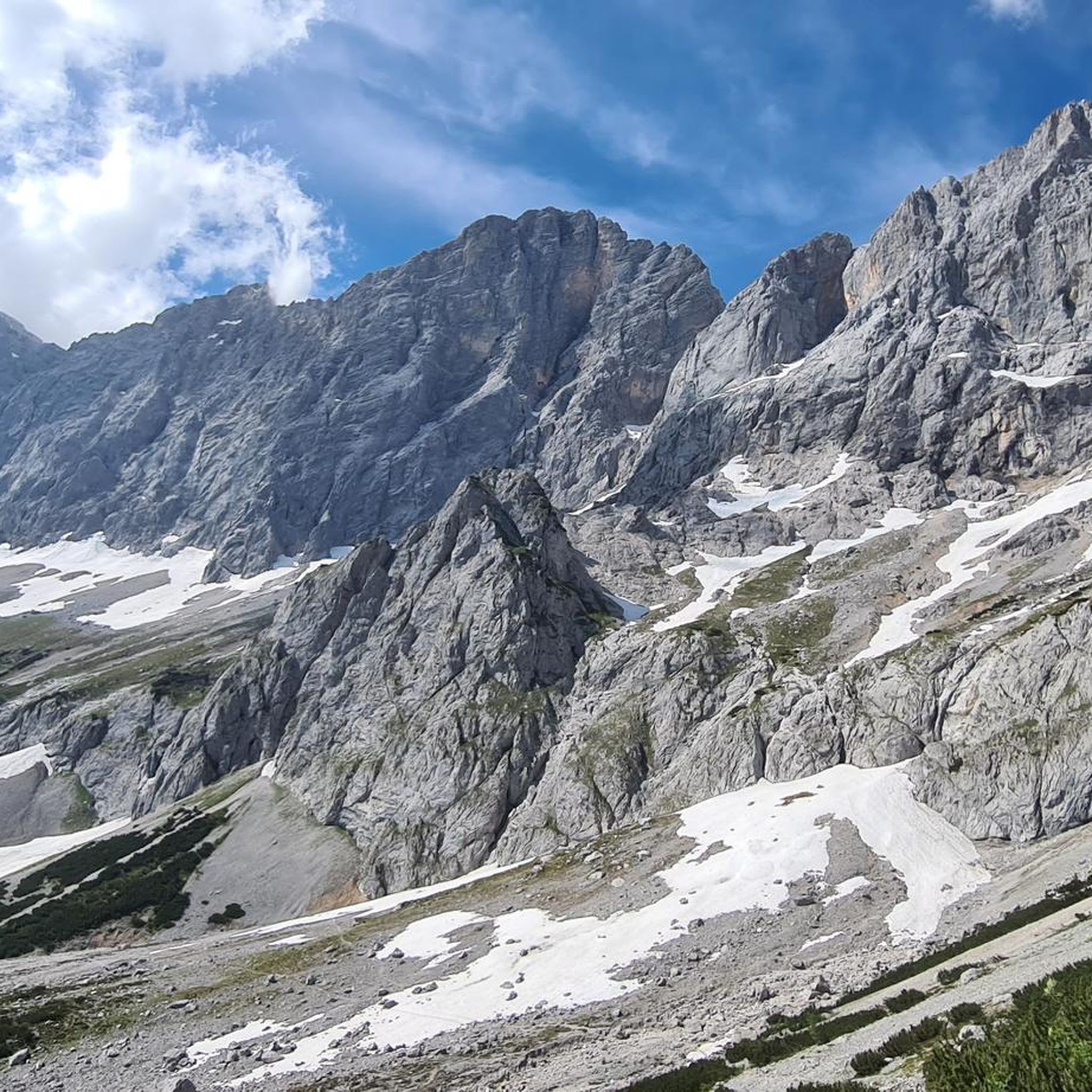
Hikes from bus stations in Saale-Ilm-Platten Bei Bad Kösen

Hikes from bus stations around Nebra (Unstrut)

Hikes from bus stations in Memleben-Buchaer Forst
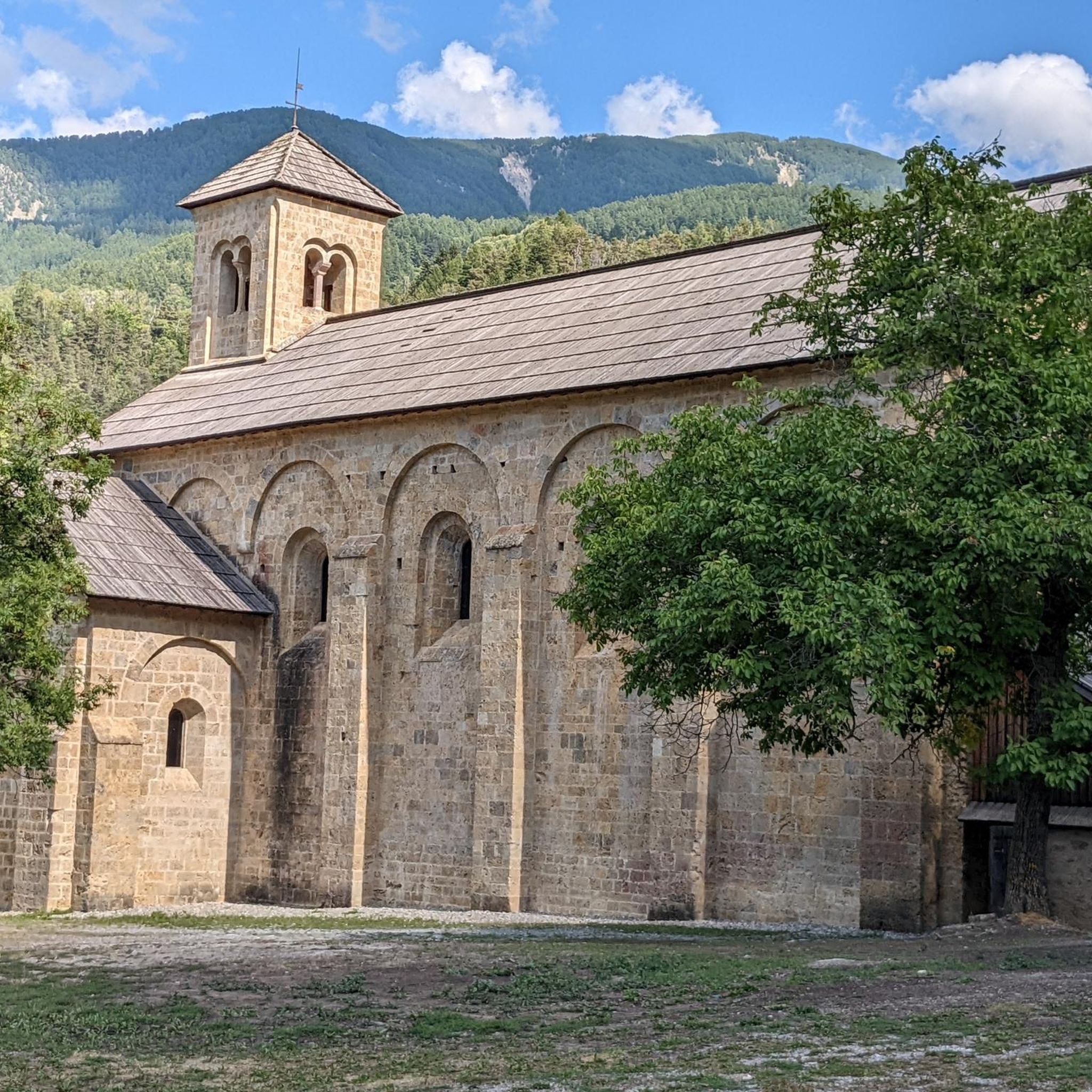
Hikes from bus stations around Bad Bibra
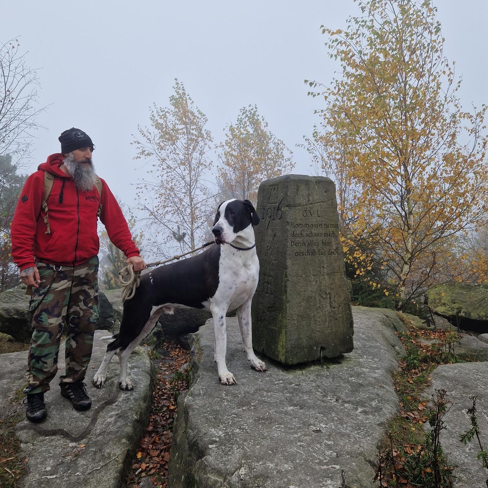
Hikes from bus stations around Weißenfels
Hikes from bus stations in Forst Bibra
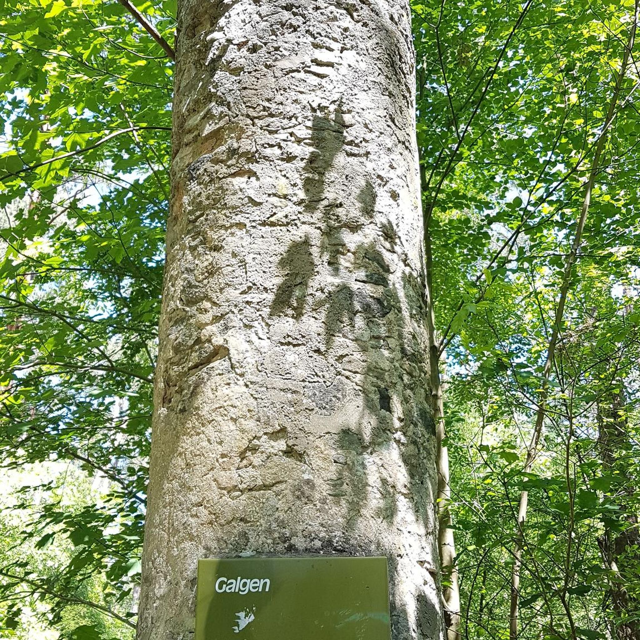
Hikes from bus stations around Zeitz

Hikes from bus stations around Gutenborn
Hikes from bus stations in Neue Göhle
Other adventures in Burgenlandkreis


Tips from the Community

It's always nice to cycle along the bike path here.
0
0
Vineyard on the side of Goseck, has been further developed in recent years. Great panorama on the Saale.
0
0
A beautiful park in Bad Kösen, it is worth a visit.
0
0

The park visit is worth it, due to the variety
0
0
Here at Blütengrund, the Unstrut flows into the Saale, a beautiful spot right at Blütengrund
1
0
A visit here is worthwhile
0
0
Very beautiful statues here
0
0

A very beautiful and idyllic area for cycling.
0
0
Frequently Asked Questions
How many hiking trails are accessible from bus stations in Burgenlandkreis?
Burgenlandkreis offers over 1,000 hiking routes that are conveniently accessible by bus. This extensive network provides a wide variety of options for exploring the region's diverse landscapes.
Are there easy hiking trails accessible by bus in Burgenlandkreis?
Yes, there are many easy trails available. Over 600 of the bus-accessible routes are classified as easy, making them suitable for casual walkers or those looking for a relaxed outing. An example is the Arche Nebra hiking trail – Arche Nebra loop from Kleinwangen, which is an easy 5.5 km loop.
What kind of landscapes can I expect to see on these bus-accessible trails?
The trails accessible by bus in Burgenlandkreis showcase a rich variety of landscapes. You can expect to traverse rolling vineyards, particularly around Freyburg and along the Saale and Unstrut rivers, as well as explore river valleys, forests, and protected natural areas like the Tote Täler Nature Reserve with its orchid meadows. The region also features unique geological formations and historical sites.
Are there circular hiking routes that start and end at bus stops?
Yes, many of the bus-accessible trails are circular routes, offering the convenience of returning to your starting point without needing additional transport. For instance, the Rudelsburg loop from Rudelsburg is a moderate 9.5 km circular hike with scenic views.
Can I find historical sites or castles along these hiking routes?
Absolutely. Burgenlandkreis is rich in history. Many trails lead past or offer views of historical landmarks. You can visit highlights such as Rudelsburg or enjoy the View of Schönburg Castle. The region's vineyards also feature historical cultivation sites like the Ducal Vineyard below Neuenburg Castle.
Are there trails suitable for families with children?
Yes, many of the easy and moderate trails are well-suited for families. The varied terrain, often with points of interest like castles or natural features, can keep younger hikers engaged. Look for shorter, less strenuous loops, especially those passing through villages or near attractions.
What is the best time of year to hike in Burgenlandkreis?
The spring and autumn months are particularly beautiful for hiking in Burgenlandkreis. Spring brings blooming orchids in nature reserves and fresh greenery, while autumn offers stunning colors in the vineyards and forests. Summer is also pleasant, especially along the river valleys, and winter can provide unique, quiet experiences, though some services might be limited.
Are there options for longer or more challenging hikes from bus stations?
While many routes are easy or moderate, there are also more challenging options for experienced hikers. The region features 32 difficult trails accessible by bus, often involving more significant elevation changes and longer distances. An example of a moderate, longer route is the Mittelberg Lookout Tower – Arche Nebra loop from Nebra (Unstrut), which spans over 14 km.
Can I bring my dog on these bus-accessible hiking trails?
Generally, dogs are welcome on most hiking trails in Burgenlandkreis. However, it's always advisable to keep them on a leash, especially in nature reserves or near livestock, and to check for any specific local regulations. Always carry water for your dog and clean up after them.
Are there good viewpoints along the bus-accessible routes?
Yes, the region offers numerous scenic viewpoints. The terraced vineyards and river valleys naturally provide elevated perspectives. Highlights include the View of Saaleck and Rudelsburg, and the Himmelreich Outcrop on the Saale, which offers stunning vistas over the landscape.
What do other hikers enjoy most about hiking in Burgenlandkreis?
The area is highly rated by the komoot community, with an average score of 4.57 stars from over 11,700 ratings. Reviewers often praise the diverse landscapes, the charming vineyard trails, the historical castles, and the well-maintained paths that make exploring the region a pleasure.
Are there any trails that explore unique natural features like nature reserves?
Yes, the region is home to the Tote Täler Nature Reserve, known for its orchid meadows and wild Konik horses. Trails like the Orchid Trail or the Wild Horses trail within this reserve offer unique opportunities to experience these natural wonders. Another route, the View of the Saale Valley – Goseck Castle loop from Eulau, provides a glimpse into the natural beauty of the Saale Valley.
Most popular routes in Burgenlandkreis
Most popular attractions in Burgenlandkreis

Get inspired with the komoot mobile app


Didn’t find what you were looking for?
Check out more Hikes throughout Burgenlandkreis below and find the perfect route in your destination.
Explore more
Browse the best Hikes in other regions.
