The best hikes from bus stations in Rhein-Neckar-Kreis
4.5
(26540)
108,360
hikers
2,533
hikes
Bus station hiking trails in Rhein-Neckar-Kreis traverse a diverse landscape, encompassing the dense forests and low mountains of the Odenwald, the scenic Neckar Valley with its river paths and vineyards, and the rolling hills of the Kraichgau region. The district features varied terrain, from gentle slopes to more challenging ascents, offering a range of hiking experiences. This region in southwest Germany is characterized by its natural beauty and historical sites, providing numerous opportunities for outdoor exploration.
Best bus station hiking…
Last updated: October 5, 2026
4.6
(112)
421
hikers
17.4km
05:10
530m
530m
Hard hike. Very good fitness required. Easily-accessible paths. Suitable for all skill levels.
4.6
(147)
525
hikers
5.88km
01:37
100m
100m
Easy hike. Great for any fitness level. Easily-accessible paths. Suitable for all skill levels.

4.7
(401)
1,227
hikers
Moderate hike. Good fitness required. Easily-accessible paths. Suitable for all skill levels.
4.7
(203)
731
hikers
Moderate hike. Good fitness required. Easily-accessible paths. Suitable for all skill levels.
4.6
(195)
584
hikers
Easy hike. Great for any fitness level. Easily-accessible paths. Suitable for all skill levels.
Get access to more routes and recommendations from other explorers.
Already have an account?
Our route recommendations are based on thousands of hikes, rides, and runs completed by other people on komoot.
Start today with a free account
Your next adventure awaits.
Popular around Rhein-Neckar-Kreis
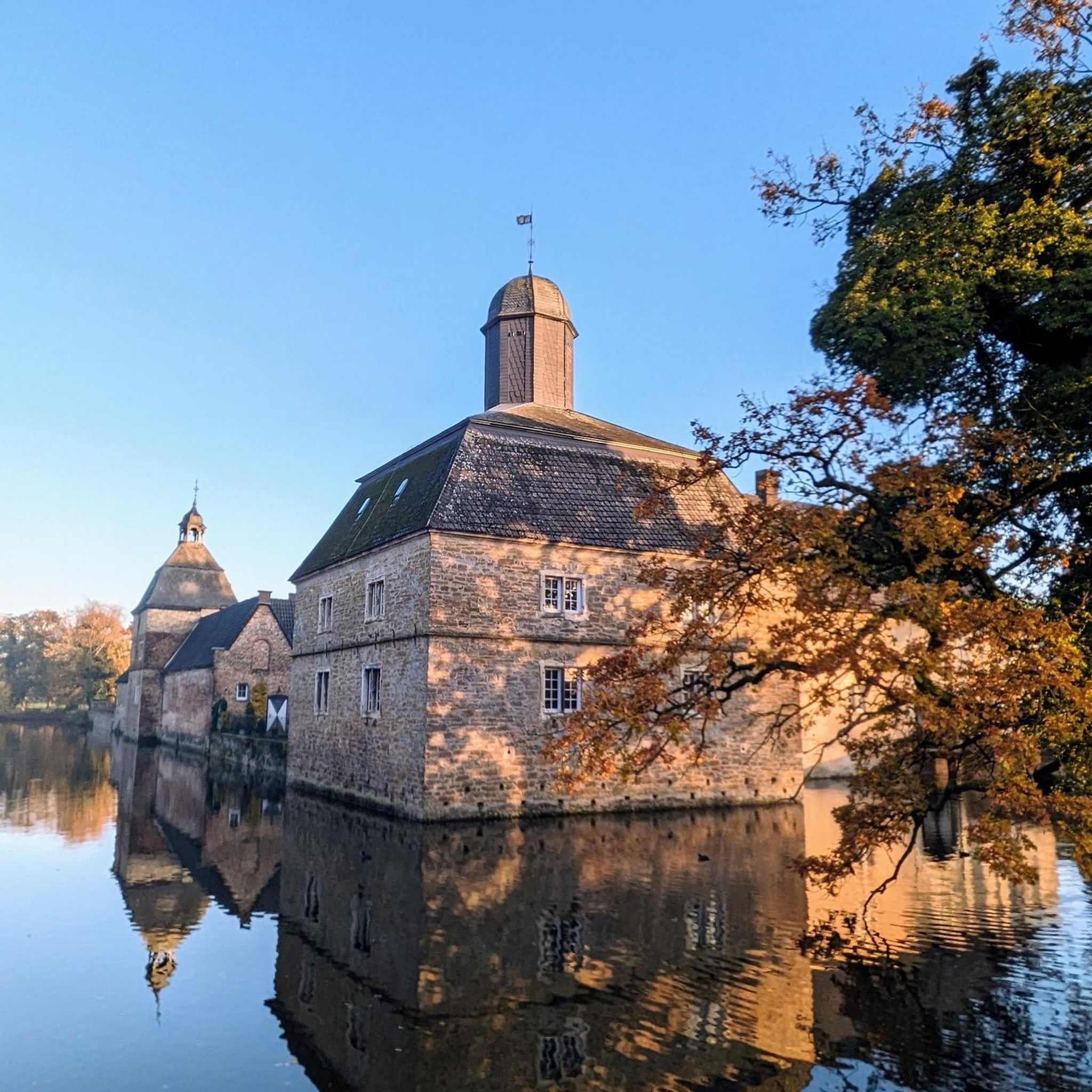
Hikes from bus stations around Sinsheim
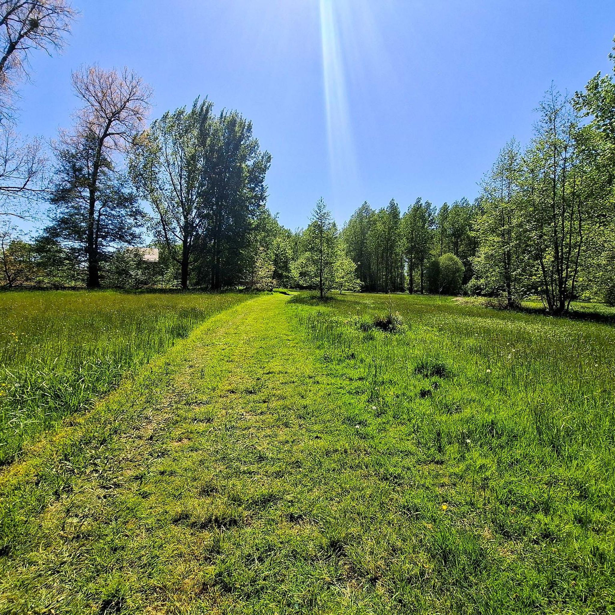
Hikes from bus stations around Schriesheim
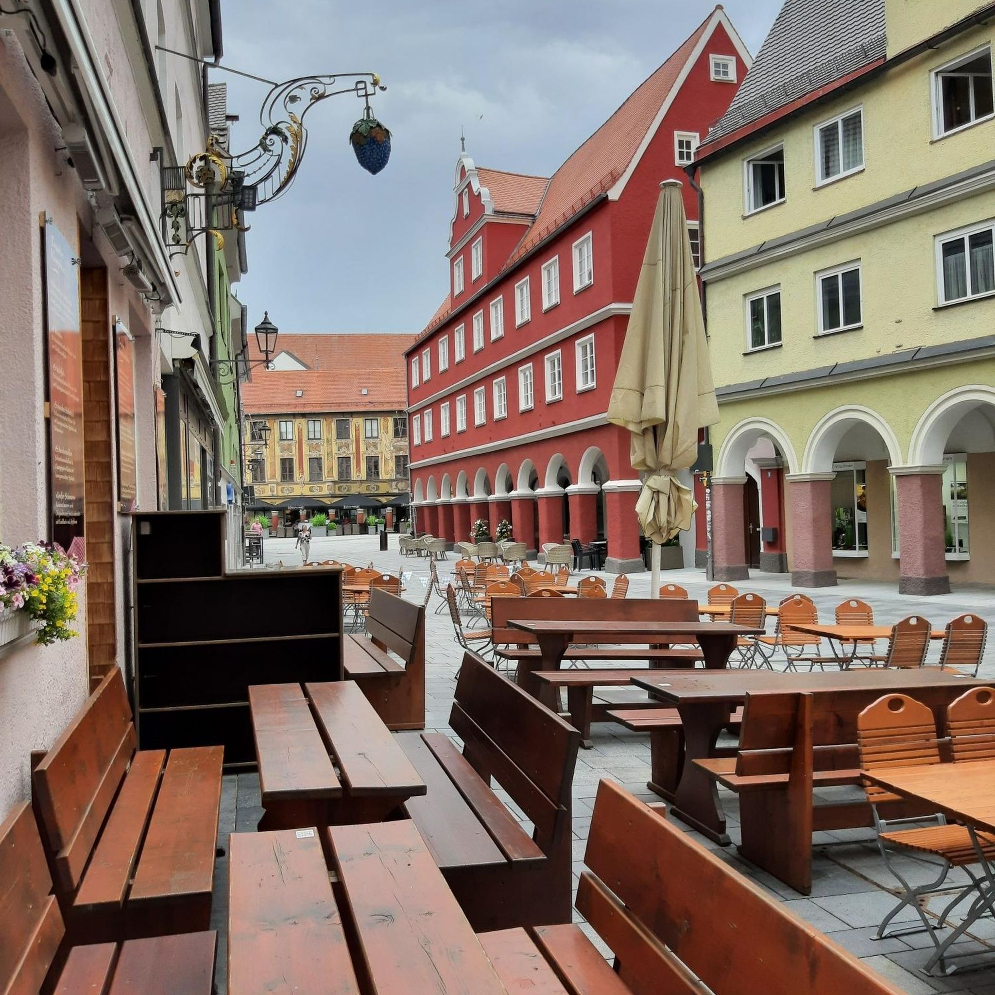
Hikes from bus stations around Eberbach

Hikes from bus stations around Neckargemünd
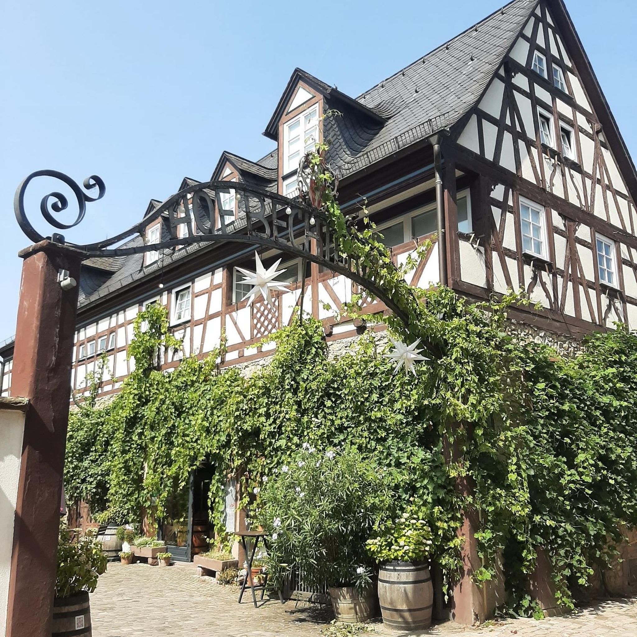
Hikes from bus stations around Wiesloch
Hikes from bus stations around Leimen
Hikes from bus stations around Ladenburg
Hikes from bus stations around Mühlhausen
Hikes from bus stations around Schwetzingen
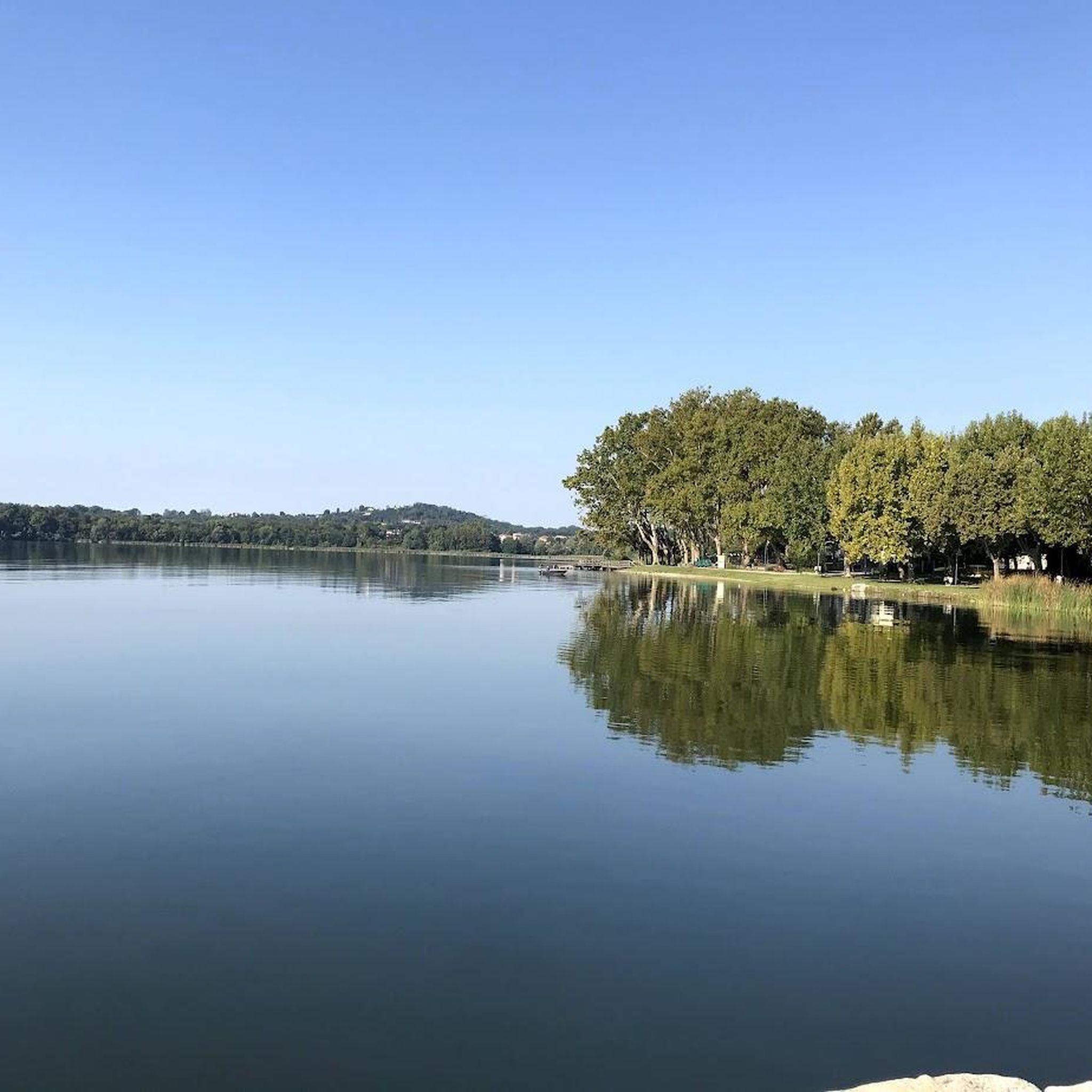
Hikes from bus stations around Ketscher Rheininsel
Other adventures in Rhein-Neckar-Kreis


Tips from the Community

Wide open views across the rolling Odenwald hills and farmland. Best on a clear day; the open field has no shade, so bring sun protection in summer.
0
0

It is very quiet there. Good for relaxing and unwinding.
0
0

if children are hiking on this tour, take some balls with you (slightly smaller than table tennis balls) so they can have some fun at this station.
0
0

A place for a rest, with a fantastic view when the weather is right... today, only a view of a forgotten hat...🤪
8
0

Sitting on the bench, you can also look towards the path. Very far, even in rainy weather.
0
0


From the Teltschik Tower you have an excellent view of Wilhelmsfeld
0
0

Great view from the Waldnerturm of the Odenwald and the Rhine plain
1
1
Frequently Asked Questions
How many bus station hiking trails are available in Rhein-Neckar-Kreis?
There are over 2,500 hiking routes in Rhein-Neckar-Kreis that are accessible from bus stations, offering a wide variety of experiences for all skill levels.
What kind of landscapes can I expect on bus-accessible hikes in Rhein-Neckar-Kreis?
The region offers diverse landscapes, from the dense forests of the Odenwald to the scenic Neckar Valley with its river views and vineyards, and the rolling hills of the Kraichgau. You'll find everything from gentle paths to more challenging forest trails.
What is the best time of year to go hiking from bus stations in Rhein-Neckar-Kreis?
The Rhein-Neckar-Kreis benefits from a mild climate, making spring and autumn particularly ideal for hiking. During these seasons, the weather is pleasant, and the natural scenery, whether blooming or displaying vibrant fall colors, is at its most beautiful.
Are there options for different hiking difficulties when starting from a bus station?
Yes, the bus-accessible trails cater to all levels. You'll find over 1,600 easy routes perfect for a leisurely stroll, more than 860 moderate trails for a good workout, and about 45 difficult routes for experienced hikers seeking a challenge.
What do other hikers say about the bus-accessible trails in Rhein-Neckar-Kreis?
The komoot community highly rates the trails in Rhein-Neckar-Kreis, with an average score of 4.56 stars from over 23,000 ratings. Hikers often praise the well-maintained paths, the diverse scenery, and the convenience of public transport access.
Are there family-friendly hiking routes accessible by bus?
Absolutely. Many of the easy and moderate trails are suitable for families. For example, Hilsbach's Eichelberg adventure trail is an easy option that offers engaging experiences for younger hikers.
Can I bring my dog on these bus-accessible hiking trails?
Many trails in Rhein-Neckar-Kreis are dog-friendly, especially those through forests and open landscapes. It's always a good idea to keep your dog on a leash, especially near wildlife or in populated areas. Always check local regulations for specific routes.
Are there circular hiking routes that start and end at a bus station?
Yes, many of the bus-accessible routes are designed as circular walks, allowing you to return to your starting point without needing additional transport. An example is the Inn at the Weißen Stein – Weißer Stein Observation Tower loop from Wilhelmsfeld, which offers great views.
What historical landmarks or castles can I explore on bus-accessible hikes?
The region is rich in history. You can hike to impressive sites like Strahlenburg, offering views of vineyards, or the Schauenburg Ruins. The Dilsberg Fortress is another notable castle ruin often integrated into hiking routes.
Are there any natural attractions or viewpoints along these trails?
Yes, you'll find numerous natural highlights. The Wildeleutestein Rock Formation is a unique natural monument. The Weißen Stein Observation Tower, accessible via a bus-friendly route, provides panoramic views of the Odenwald. The region also features the dramatic Spatschlucht Gorge.
Can I find trails with significant elevation gain for a more challenging experience?
Certainly. For those seeking a more strenuous hike, routes like Up the Katzenbuckel - Odenwald and Neckar valley offer considerable elevation gain, providing a rewarding challenge and expansive views.
Are there any easy, shorter routes for a quick outdoor escape from a bus station?
Yes, there are plenty of shorter, easy routes. For instance, the View of the Odenwald – Waldner Tower loop from Hemsbach is an easy hike under 7 km, perfect for a brief outing with scenic rewards.
Most popular routes in Rhein-Neckar-Kreis
Most popular attractions in Rhein-Neckar-Kreis

Get inspired with the komoot mobile app


Didn’t find what you were looking for?
Check out more Hikes throughout Rhein-Neckar-Kreis below and find the perfect route in your destination.
Explore more
Browse the best Hikes in other regions.
