The best traffic-free bike rides in Oberallgäu
4.6
(2933)
64,760
riders
302
rides
No traffic road cycling routes in Oberallgäu traverse a varied landscape, from the gentle, rolling pre-Alpine hills and wide meadows in the north to the more rugged peaks of the Allgäu Alps in the south. The region features numerous mountain lakes, such as Großer Alpsee and Niedersonthofner See, and the Iller River, providing diverse backdrops for cycling. This topography offers a range of routes suitable for different fitness levels, from leisurely rides along riverbanks to demanding ascents over mountain passes.
…Last updated: October 14, 2026
4.8
(158)
3,192
riders
87.4km
04:21
1,240m
1,240m
Hard road ride. Very good fitness required. Some segments of this route may be unpaved and difficult to ride.
4.7
(26)
724
riders
61.0km
03:01
860m
860m
Moderate road ride. Good fitness required. Mostly well-paved surfaces and easy to ride.

4.9
(39)
508
riders
98.5km
04:19
800m
800m
Moderate road ride. Good fitness required. Some segments of this route may be unpaved and difficult to ride.
4.5
(29)
352
riders
48.7km
02:23
640m
640m
Moderate road ride. Good fitness required. Mostly well-paved surfaces and easy to ride.
4.8
(23)
405
riders
40.7km
01:48
340m
340m
Moderate road ride. Good fitness required. Mostly well-paved surfaces and easy to ride.
Get access to more routes and recommendations from other explorers.
Already have an account?
Our route recommendations are based on thousands of hikes, rides, and runs completed by other people on komoot.
Start today with a free account
Your next adventure awaits.
Popular around Oberallgäu

Traffic-free bike rides in Wildschutzgebiet Wiesach
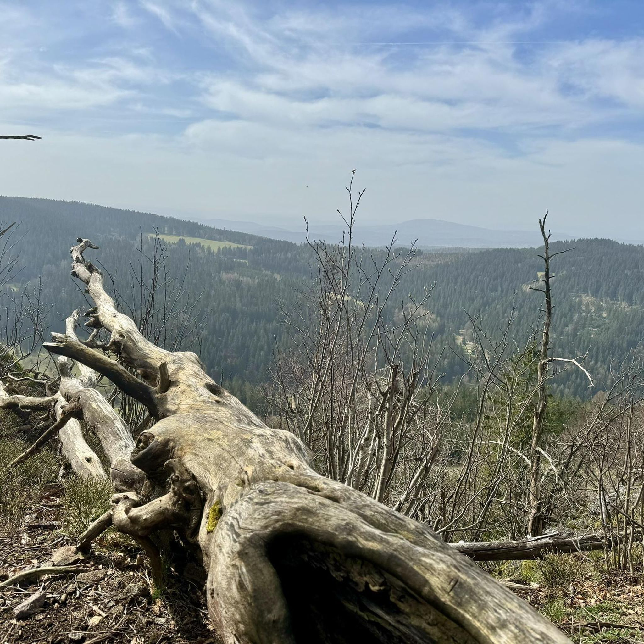
Traffic-free bike rides around Sulzberger Lake
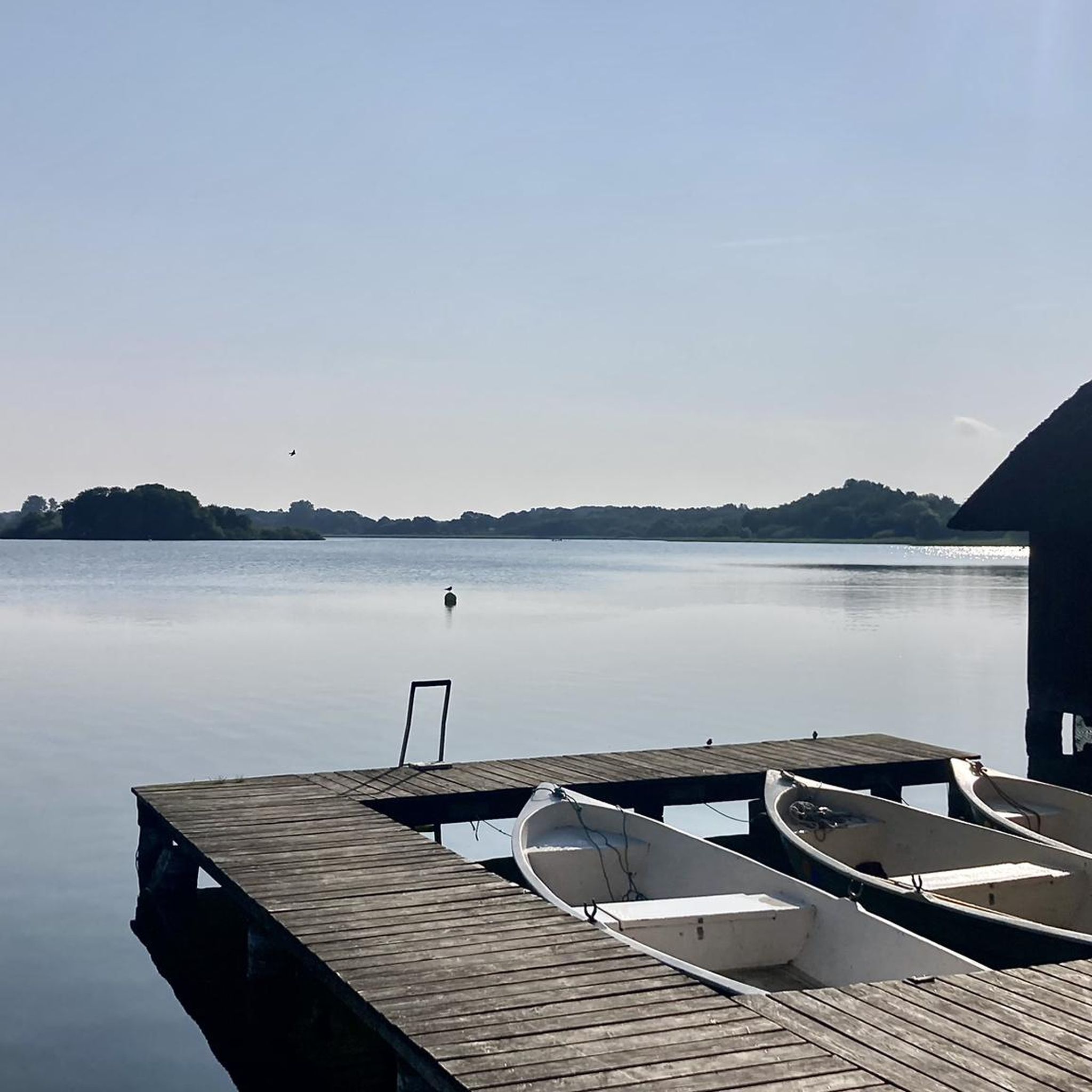
Traffic-free bike rides around Gunzesried
Traffic-free bike rides around Bad Hindelang
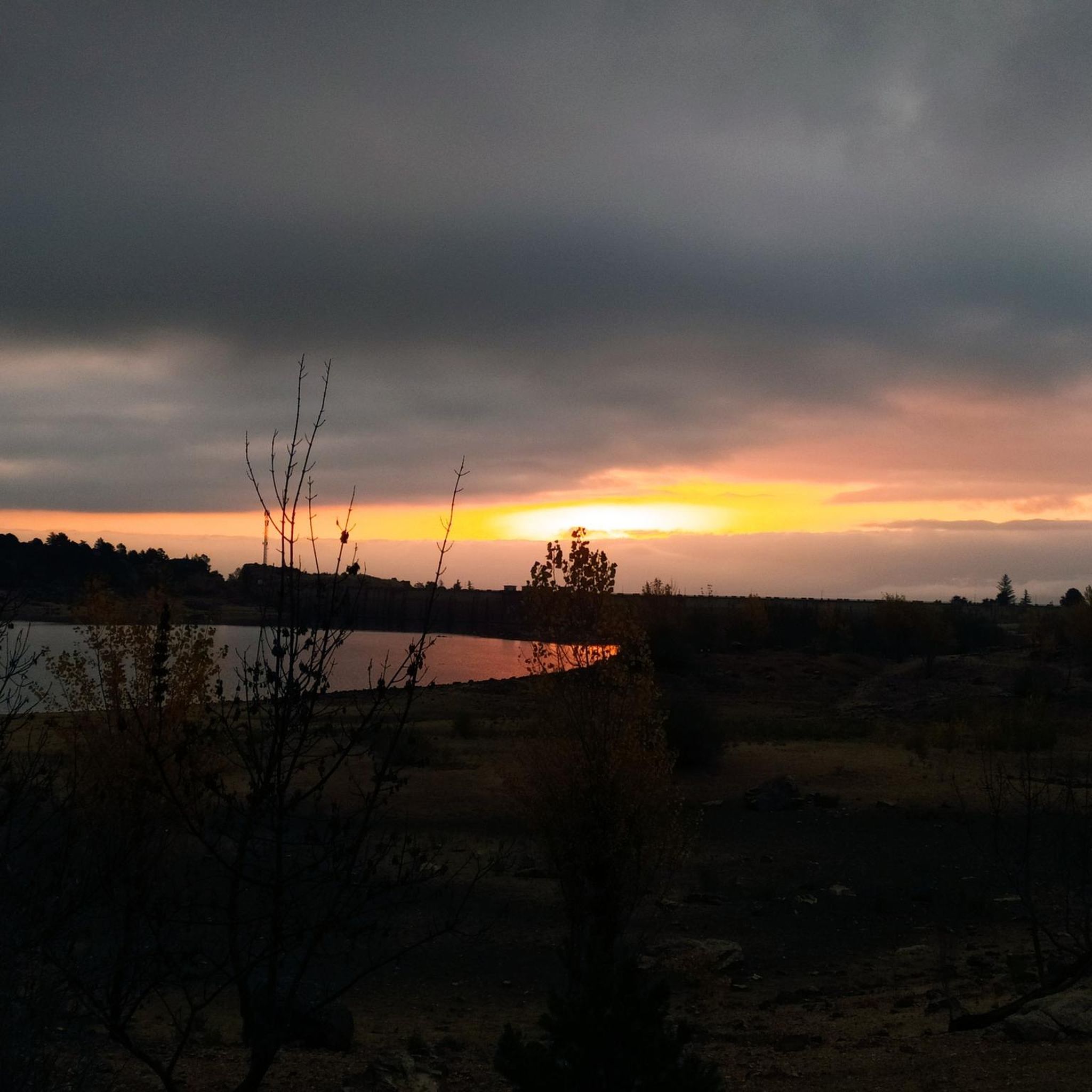
Traffic-free bike rides around Niedersonthofen
Traffic-free bike rides around Waltenhofen
Traffic-free bike rides around Rettenberg
Traffic-free bike rides around Sonthofen

Traffic-free bike rides around Missen-Wilhams
Traffic-free bike rides around Großer Alpsee


Tips from the Community

The Stillachtal (named after the river Stillach, which flows through the valley) is the western of the two large Alpine valleys (alongside the Trettachtal) south of Oberstdorf in the Allgäu.
1
0
The Rappenalptal lies between Einödsbach, the southernmost settlement in Germany, and the Haldenwanger Eck, the southernmost border point of Germany. It is a side valley of the Stillachtal and can be hiked from various sides. The road runs from the Fellhornbahn via Birgsau, past Einödsbach to the Schwarzen-Hütte. However, this is closed to public traffic from the Fellhornbahn (bus connection to Birgsau).
1
0

A small pass in the Allgäu with beautiful ascents and a brisk descent afterwards.
0
0

Beautiful place for swimming and relaxing with a magnificent view over the "Nieso"
0
0
Beautiful place with a view of the "Nieso" and the mountains
0
0

Many small bays for swimming. There are also occasional changing cubicles and portable toilets. Lots of nature. Dogs must be on a leash and are not allowed in the water.
0
0

A beautifully situated pond with two benches that invite you to take a break.
0
0
Frequently Asked Questions
How many no-traffic road cycling routes are available in Oberallgäu?
Oberallgäu offers over 290 dedicated no-traffic road cycling routes, catering to various skill levels. You'll find approximately 70 easy routes, 175 moderate, and nearly 50 challenging options.
What kind of landscapes can I expect on these no-traffic road cycling routes?
The no-traffic road cycling routes in Oberallgäu traverse a stunning variety of landscapes. You'll cycle through gentle, rolling pre-Alpine hills, alongside idyllic mountain lakes like the Großer Alpsee and Niedersonthofner See, and along the picturesque Iller River. Many routes offer breathtaking views of the Allgäu Alps, including peaks like the Nagelfluhkette and Grünten mountains.
Are there any easy, family-friendly no-traffic road cycling routes in Oberallgäu?
Yes, Oberallgäu has several easy routes suitable for families looking for a relaxed ride away from traffic. These often follow flatter sections along riverbanks or around lakes. For example, the Lake Niedersonthofen loop from Martinszell im Allgäu offers a moderate, scenic ride that is generally accessible.
What do other road cyclists enjoy most about the no-traffic routes in Oberallgäu?
The no-traffic road cycling routes in Oberallgäu are highly rated by the komoot community, with an average score of 4.6 stars from over 2,100 ratings. Reviewers often praise the region's diverse terrain, from leisurely rides through meadows to demanding ascents, and the consistently stunning vistas of the Alps and serene lakes. The well-maintained asphalted roads and cycle paths also contribute to a smooth and enjoyable experience.
Are there any circular no-traffic road cycling routes in Oberallgäu?
Yes, many of the no-traffic road cycling routes in Oberallgäu are designed as loops, allowing you to start and end at the same point. A notable example is the Breitengehren Alp – Stillach Valley loop from Fischen, which offers a moderate challenge through varied terrain.
What are some scenic attractions or landmarks I can see along these routes?
Many no-traffic routes pass by or offer views of significant natural attractions. You might encounter stunning mountain peaks like Grünten Summit or Nebelhorn summit. The region is also dotted with beautiful lakes such as Freibergsee and the Lower Gaisalp Lake. Some routes even offer glimpses of waterfalls, like the Gaisalpsee waterfall.
Are there any advanced or challenging no-traffic road cycling routes for experienced riders?
Absolutely. For experienced road cyclists seeking a challenge, Oberallgäu offers routes with significant elevation gains and longer distances. The Nagelfluh Tour – road bike Tour in the Allgäu is a difficult 87 km route with over 1200 meters of elevation, traversing diverse landscapes near the Nagelfluhkette mountains. Another option is the Road to Giebelhaus – Giebelhaus loop from Durach, a moderate 97 km route with nearly 800 meters of climbing.
What is the best time of year for no-traffic road biking in Oberallgäu?
The best time for road biking in Oberallgäu is generally from late spring to early autumn (May to October). During these months, the weather is typically mild, and the mountain passes are clear of snow. The lush green meadows and clear lake waters are particularly inviting, and the region's diverse forests are vibrant with color.
Can I find amenities like cafes or restaurants along the no-traffic routes?
While these routes focus on minimizing traffic, many still pass through or near charming villages and towns where you can find cafes, restaurants, and places to refuel. The region's infrastructure is well-developed for tourism, so planning your route with komoot allows you to easily identify points of interest for refreshments.
Are there less crowded no-traffic road bike routes in Oberallgäu?
Yes, while popular routes can see more activity, Oberallgäu's extensive network of over 290 routes means you can often find quieter paths. Exploring routes slightly off the main tourist trails or cycling during off-peak hours (early mornings or weekdays) can lead to a more serene experience. The region's vastness allows for many hidden gems away from the busiest spots.
Is public transport an option to access these no-traffic road cycling routes with my bike?
Public transport options, including regional buses and trains, often allow for bike transport, though specific rules and capacity may vary. It's advisable to check with local transport providers in Oberallgäu for their current policies regarding bicycles, especially during peak season, to plan your journey effectively.
Where can I find parking for no-traffic road bike trails in Oberallgäu?
Many starting points for road cycling routes in Oberallgäu, particularly in towns and villages, offer designated parking areas. Look for public parking lots or specific cycling trailheads. Using komoot's route planner can help identify suitable starting points with available parking facilities near your chosen no-traffic route.
Most popular routes in Oberallgäu
Most popular attractions in Oberallgäu

Get inspired with the komoot mobile app


Didn’t find what you were looking for?
Check out more Road cycling routes throughout Oberallgäu below and find the perfect route in your destination.
Explore more
Browse the best Road cycling routes in other regions.
