The best hikes from bus stations in Moësa
4.6
(814)
5,902
hikers
113
hikes
Bus station hikes Moësa explore an alpine valley in the Grisons, Switzerland, shaped by the Moesa River. The region features diverse landscapes, from the high-altitude San Bernardino Pass and Lake Moesola to lush green valleys with traditional Swiss houses. Hikers can traverse historical mule trails, explore chestnut forests, and encounter significant natural features like mountain peaks and the revitalized Moesa River floodplain. The terrain offers a mix of classic alpine scenery and varied elevations.
Best bus station hiking trails in…
Last updated: October 1, 2026
4.5
(2)
6
hikers
11.3km
04:00
640m
640m
Moderate hike. Good fitness required. Easily-accessible paths. Suitable for all skill levels.
4.5
(42)
285
hikers
12.3km
06:00
930m
930m
Hard hike. Very good fitness required. Mostly accessible paths. Sure-footedness required.

4.7
(29)
273
hikers
5.64km
01:33
90m
90m
Easy hike. Great for any fitness level. Easily-accessible paths. Suitable for all skill levels.
4.9
(20)
172
hikers
8.96km
02:40
240m
240m
Hard hike. Good fitness required. Sure-footedness, sturdy shoes and alpine experience required.
4.8
(14)
111
hikers
Moderate hike. Good fitness required. Mostly accessible paths. Sure-footedness required.
Get access to more routes and recommendations from other explorers.
Already have an account?
Our route recommendations are based on thousands of hikes, rides, and runs completed by other people on komoot.
Start today with a free account
Your next adventure awaits.
Popular around Moësa
Hikes from bus stations around Lake d'Isola
Hikes from bus stations in Bosch Di Rughel
Hikes from bus stations in Bosco Di Castaneda
Hikes from bus stations around Lake Cama
Step into the hiking season – spring routes in Graubünden
Transcontinental Race No9 2023
Breathtaking Alps - by bike on the Graubünden Route
Kultur und Natur – Weitwandern im Kanton Graubünden
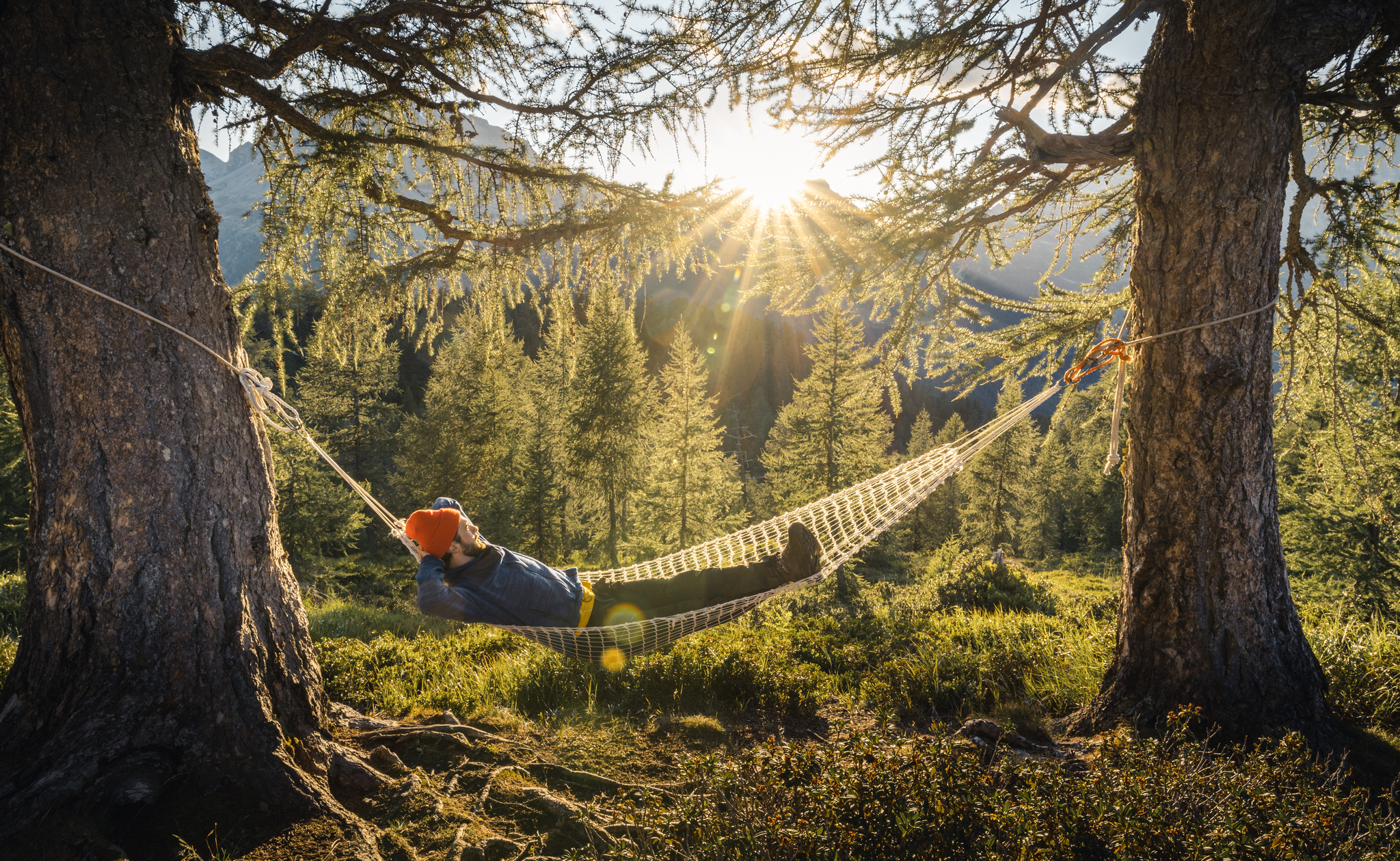
Wandern im Moesano: Weite Wege und stille Täler im Schweizer Süden
Other adventures in Moësa


Tips from the Community

Directly on the Lagh de Cama lies the Capanna Miralago at 1,265 meters – a simple, managed mountain hut in a beautiful location by the water. An ideal place for a break or an overnight stay. The hut is open during the summer season from approximately June to the end of August and offers around 30 sleeping places as well as simple catering.
0
0
The San Bernardino Pass connects the Misox with the Rheinwald and is located at 2,066 meters. At the pass summit, there is a restaurant and a bus stop, making the location easily accessible. The open high mountain landscape with small lakes and wide open spaces is well suited for a break.
0
0
Directly in the village lies the historic mineral spring of San Bernardino. The crystal-clear water has been emerging here for centuries and can still be tapped fresh today. A short stop is worthwhile – not only for the history, but also for a refreshing break at the beginning or end of your tour.
0
0
The stone-paved pass route connects the San Bernardino Pass at 2065 meters with the village of San Bernardino. The Romans already used this pass crossing.
0
0

S.Bernardo Mineral Water, San Bernardino Quality water since 1926 S.Bernardo represents the perfect union of quality, tradition, and elegance. Its spring originates in the Maritime Alps, at an altitude of 1,300 m, in a healthy and unspoiled environment. Text / Source: S. Bernardo S.p.A., Via O. Rovere, 41 – 12075 Garessio (CN) https://www.sanbernardo.it/azienda-san-bernardo/
14
0

The lake can be bypassed with a mountain bike. Two gates can only be bypassed by stopping and pushing. :-(
1
0

The complex is freely accessible and is ideal for a hike or a stopover on the route over the San Bernardino Pass.
0
0
Here, a beautiful wooden bridge crosses the stream. The water flows down the mountain in small cascades.
1
0
Frequently Asked Questions
How many hiking trails are accessible from bus stations in Moësa?
Moësa offers nearly 100 hiking trails that are conveniently accessible from various bus stations throughout the valley. These routes cater to a wide range of preferences, from easy strolls to more challenging alpine treks.
What kind of landscapes can I expect on bus station hikes in Moësa?
The bus-accessible hikes in Moësa traverse diverse landscapes, from the high alpine scenery around the San Bernardino Pass and Lake Moesola to lush valleys, dense Norway spruce forests, and historical chestnut groves. You'll encounter the Moesa River, traditional Swiss villages, and panoramic mountain views.
What is the overall difficulty level of bus station hikes in Moësa?
The bus station hikes in Moësa offer a good mix of difficulties. Approximately 25 routes are considered easy, 45 are moderate, and 27 are difficult. This means you can find trails suitable for a relaxed walk or a demanding alpine adventure, all reachable by public transport.
Are there family-friendly hiking trails accessible by bus in Moësa?
Yes, Moësa has several family-friendly options accessible by bus. Many easy routes are perfect for families, such as the Lake Isola – Lago d’Isola loop from San Bernardino, which is relatively short and features minimal elevation gain, offering beautiful lake views.
Can I bring my dog on bus station hikes in Moësa?
Most hiking trails in Moësa are dog-friendly, but it's always recommended to keep your dog on a leash, especially in nature protection areas, near livestock, or in crowded sections. Ensure you carry enough water for your pet, particularly on longer routes or during warmer months.
Are there any circular hiking routes starting from bus stations in Moësa?
Yes, many bus station hikes in Moësa are designed as circular routes, allowing you to start and end at the same point without needing to retrace your steps. An example is the San Bernardino Village – San Bernardino Pass Trail loop from San Bernardino, which offers a varied experience.
What interesting landmarks or natural features can I see along these bus-accessible trails?
Many bus-accessible trails in Moësa lead to or pass by significant landmarks and natural features. You can explore historical sites like the ruins of Castello di Mesocco or natural wonders such as Lake Dosso, Lake Cama, or the Augio Waterfall. The Culture and Nature Trail between castle and chestnut groves is a great option for historical and natural exploration.
What is the best time of year for bus station hiking in Moësa?
The best time for bus station hiking in Moësa is generally from late spring to early autumn (May to October). During these months, the weather is most favorable, and trails are typically free of snow. Higher alpine routes, especially around the San Bernardino Pass, are best enjoyed in summer.
Are there any challenging multi-day hikes accessible by bus in Moësa?
While this guide focuses on day hikes, the Moësa region does offer challenging multi-day treks like the 'Sentiero Alpino Calanca'. Many bus stations serve as excellent starting or ending points for sections of these longer routes, allowing for flexible planning of your alpine adventure.
What do other hikers enjoy most about hiking in Moësa?
The Moësa region is highly rated by the komoot community, with an average score of 4.68 stars. Reviewers often praise the stunning alpine scenery, the well-maintained and diverse trail networks, and the rich historical and cultural attractions found along the routes. The accessibility by public transport is also a frequently highlighted benefit.
Are there any bus station hikes that lead to alpine huts or places to rest?
Yes, some bus-accessible routes in Moësa lead to or pass by alpine huts where you can rest and often find refreshments. For example, the Lake Dosso – Alpe Pian Doss Alpine Hut loop from San Bernardino offers a destination for a break during your hike.
Most popular routes in Moësa
Most popular attractions in Moësa

Get inspired with the komoot mobile app


Didn’t find what you were looking for?
Check out more Hikes throughout Moësa below and find the perfect route in your destination.
Explore more
Browse the best Hikes in other regions.
