The best hikes from bus stations in Oberaargau
4.6
(7429)
46,618
hikers
164
hikes
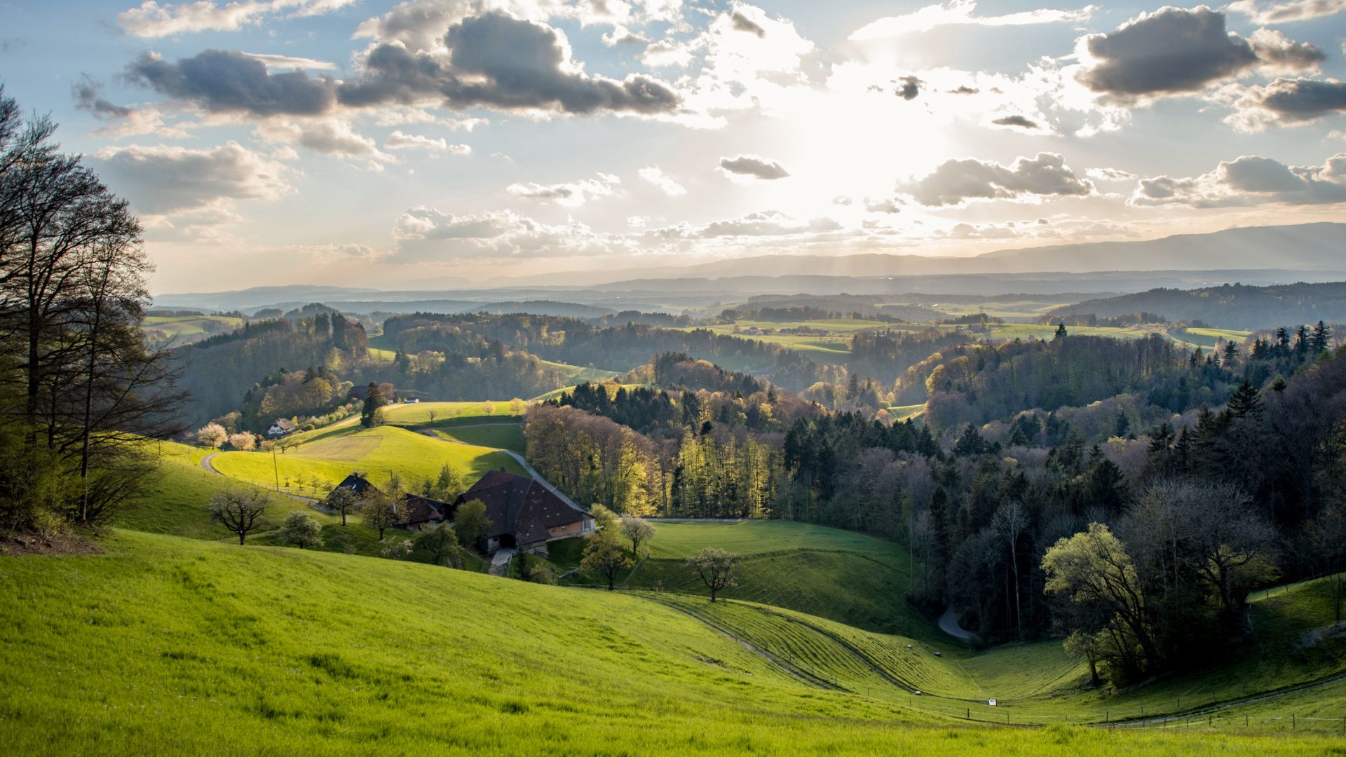
Bus station hiking trails in Oberaargau offer access to a diverse landscape in the Canton of Bern, Switzerland. The region features a mix of gentle farmland, protected ponds, rolling hills, and light forests, characteristic of the Emmental. Trails often provide views of the surrounding valleys, and on clear days, the Alps and Jura mountains are visible. Water features like the Mutzbach Falls and Lake Burgäschi add to the natural attractions.
Best bus station hiking trails in Oberaargau
- The most popular…
Last updated: May 16, 2026
4.8
(28)
122
hikers
11.9km
03:36
390m
390m
Moderate hike. Good fitness required. Easily-accessible paths. Suitable for all skill levels.
4.8
(6)
34
hikers
13.5km
03:42
210m
210m
Moderate hike. Good fitness required. Easily-accessible paths. Suitable for all skill levels.

Sign up for free
4.3
(21)
130
hikers
6.76km
01:43
20m
20m
Easy hike. Great for any fitness level. Easily-accessible paths. Suitable for all skill levels.
4.5
(13)
50
hikers
6.67km
01:51
120m
120m
Easy hike. Great for any fitness level. Easily-accessible paths. Suitable for all skill levels.
4.8
(6)
26
hikers
7.06km
01:55
100m
100m
Easy hike. Great for any fitness level. Easily-accessible paths. Suitable for all skill levels.
Get access to more routes and recommendations from other explorers.
Sign up for free
Already have an account?
Our route recommendations are based on thousands of hikes, rides, and runs completed by other people on komoot.
Start today with a free account
Your next adventure awaits.
Login or Signup
Popular around Oberaargau

Other adventures in Oberaargau


Tips from the Community

The Mutzbachhöhle was washed into the sandstone by the stream over the millennia. Especially the bare rock at the bottom is perfect for walking around in without getting your feet too wet.
0
0
Beautiful waterfall with a wide but shallow basin. Perfect place to cool off a bit and listen to the rushing sound.
0
0
Wonderful, flat river that also invites you to walk in it.
0
0

The Haslibrunnen picnic area near Langenthal is a quiet spot in the middle of nature. Surrounded by forests and meadows, it offers seating, barbecue areas, and fresh spring water. Ideal for families and hikers who want to enjoy a relaxing break in beautiful surroundings.
5
0
The Langenthal Animal Park is a popular destination for families and nature lovers. The small, freely accessible park is home primarily to native animal species such as deer, goats, ducks, and various birds. The grounds are designed to be close to nature and offer the animals spacious enclosures. There are play facilities for children and the opportunity to observe animals up close. Walking paths lead through the grounds and invite visitors to linger. The animal park is idyllically situated on the edge of the forest and is ideal for a short, relaxing stay in nature.
4
0

Impressive waterfall in a sandstone rock basin.
0
0

The castle cellar of Wangen Castle on the Aare River is located in the rear part of the building and can be rented for parties and events of all kinds. It accommodates approximately 50 people and can be expanded to include the adjacent castle courtyard. The venue is a visual delight that exudes charm. Ample parking is available right next to the castle cellar.
0
0
Besides the old wooden bridge, the Salt House is probably the most mentioned building in Wangen an der Aare
0
0
Frequently Asked Questions
How many hiking trails are accessible directly from bus stations in Oberaargau?
Oberaargau offers a wide selection of routes accessible by public transport. There are over 170 hiking trails that start conveniently from bus stations, catering to various skill levels. You'll find a good mix of easy, moderate, and some more challenging options.
Are there any easy, family-friendly hikes from bus stops in Oberaargau?
Yes, Oberaargau has many easy and family-friendly routes accessible by bus. For example, the Höhlenbach Cave and Stream – Mutzbach Stream loop from Hermiswil is an easy option that takes you through pleasant landscapes. The region's gentle farmland and meadows are ideal for relaxed family outings.
Can I bring my dog on these bus-accessible hiking trails?
Many trails in Oberaargau are dog-friendly, but it's always recommended to check specific route details for any restrictions, especially around nature reserves or agricultural areas where dogs might need to be leashed. Generally, the diverse landscapes, from forests to riverside paths, offer great opportunities for hiking with your canine companion.
What kind of natural attractions can I expect to see on bus station hikes in Oberaargau?
Oberaargau's bus-accessible trails lead to a variety of natural highlights. You can discover picturesque water features like the Lake Burgäschi, which is perfect for a leisurely walk, or the serene Lake Aspi. The region also features charming hilly areas, light forests, and the distinctive wooded formations characteristic of the Emmental.
Are there any circular hiking routes that start and end at a bus station?
Yes, many of the trails accessible by bus are circular routes, allowing for convenient return to your starting point. An example is the Rest area with a view – Brestenegg Alpine Inn loop from Eriswil, which offers a moderate challenge and scenic views. Another easy circular option is the Walliswilsteg – Badi Wangen an der Aare loop from Wangen an der Aare, perfect for a shorter excursion.
What historical or cultural landmarks can be found near bus-accessible trails?
Beyond natural beauty, Oberaargau's trails often pass by historical sites. You can explore routes that lead to the ruins of Grünenberg, such as the Rest area – Grünenberg Ruins Melchnau loop from Melchnau. The region is also home to impressive structures like Aarwangen Castle and the Cistercian abbey of St. Urban, which add cultural depth to your hiking experience.
What is the best time of year to go hiking from bus stations in Oberaargau?
Oberaargau offers a unique hiking experience in every season. Spring brings awakening nature, summer provides lush pastures, autumn showcases vibrant foliage, and winter allows for peaceful walks in the snow. The extensive network of well-maintained trails ensures year-round accessibility, though some higher-altitude paths might be better suited for warmer months.
Are there any trails with significant viewpoints accessible by bus?
Yes, Oberaargau is known for its panoramic vistas. While specific bus stops for the highest points like Höllchöpfli or Hochwacht might require a short walk or connection, many trails offer stunning views of the surrounding hills and valleys. On clear days, you can often see both the majestic Alps and the distant Jura mountains.
What do other hikers say about the bus station trails in Oberaargau?
The hiking trails in Oberaargau are highly rated by the komoot community, with an average score of 4.58 stars from over 7,100 ratings. Reviewers often praise the region's diverse landscapes, the well-signposted paths, and the convenience of accessing trails directly from public transport stops.
Are there any permits required for hiking on these trails?
Generally, no special permits are required for hiking on the public trails in Oberaargau. The region boasts over 900 kilometers of well-signposted paths that are freely accessible. However, always respect local regulations, especially concerning nature protection areas or private land.
Are there cafes or restaurants near the bus stops for these hiking trails?
Many villages and towns in Oberaargau, where bus stations are located, offer cafes, pubs, and accommodation options. It's common to find places to refresh yourself or grab a meal before or after your hike, especially in larger hubs like Langenthal or Wangen an der Aare. Checking local amenities for your specific starting point is always a good idea.
Most popular routes in Oberaargau
Most popular attractions in Oberaargau

Get inspired with the komoot mobile app


Didn’t find what you were looking for?
Check out more Hikes throughout Oberaargau below and find the perfect route in your destination.
Explore more
Browse the best Hikes in other regions.
