The best hikes from bus stations around Biberach an der Riß
4.5
(5123)
25,178
hikers
239
hikes
Bus station hiking trails around Biberach an der Riß traverse a varied landscape of rolling hills, river valleys, and extensive wooded areas. The region features the unique Federsee moor lake, the largest contiguous moorland in southwest Germany, and the tranquil Riß River which guides many paths. Hikers can explore dense forests like Burrenwald, or gentle elevations and open meadows, providing diverse experiences. The Wolfental Valley also offers several hiking routes.
Best bus station hiking trails around Biberach an der Riß
…Last updated: October 1, 2026
4.3
(4)
95
hikers
Easy hike. Great for any fitness level. Easily-accessible paths. Suitable for all skill levels.
4.0
(6)
50
hikers
Moderate hike. Good fitness required. Easily-accessible paths. Suitable for all skill levels.

4.6
(8)
57
hikers
Easy hike. Great for any fitness level. Easily-accessible paths. Suitable for all skill levels.
4.5
(10)
30
hikers
Easy hike. Great for any fitness level. Easily-accessible paths. Suitable for all skill levels.
4.4
(19)
48
hikers
14.6km
03:55
170m
170m
Moderate hike. Good fitness required. Easily-accessible paths. Suitable for all skill levels.
Get access to more routes and recommendations from other explorers.
Already have an account?
Our route recommendations are based on thousands of hikes, rides, and runs completed by other people on komoot.
Start today with a free account
Your next adventure awaits.
Popular around Biberach an der Riß
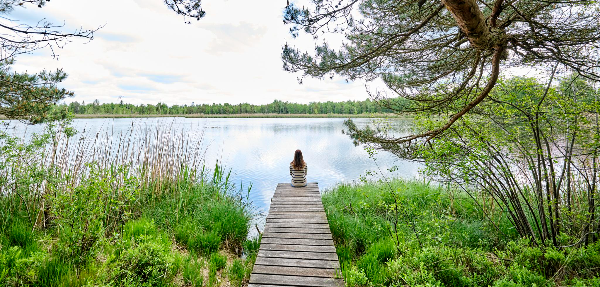
Nature, city, Baroque – short breaks in Upper Swabia-Allgäu
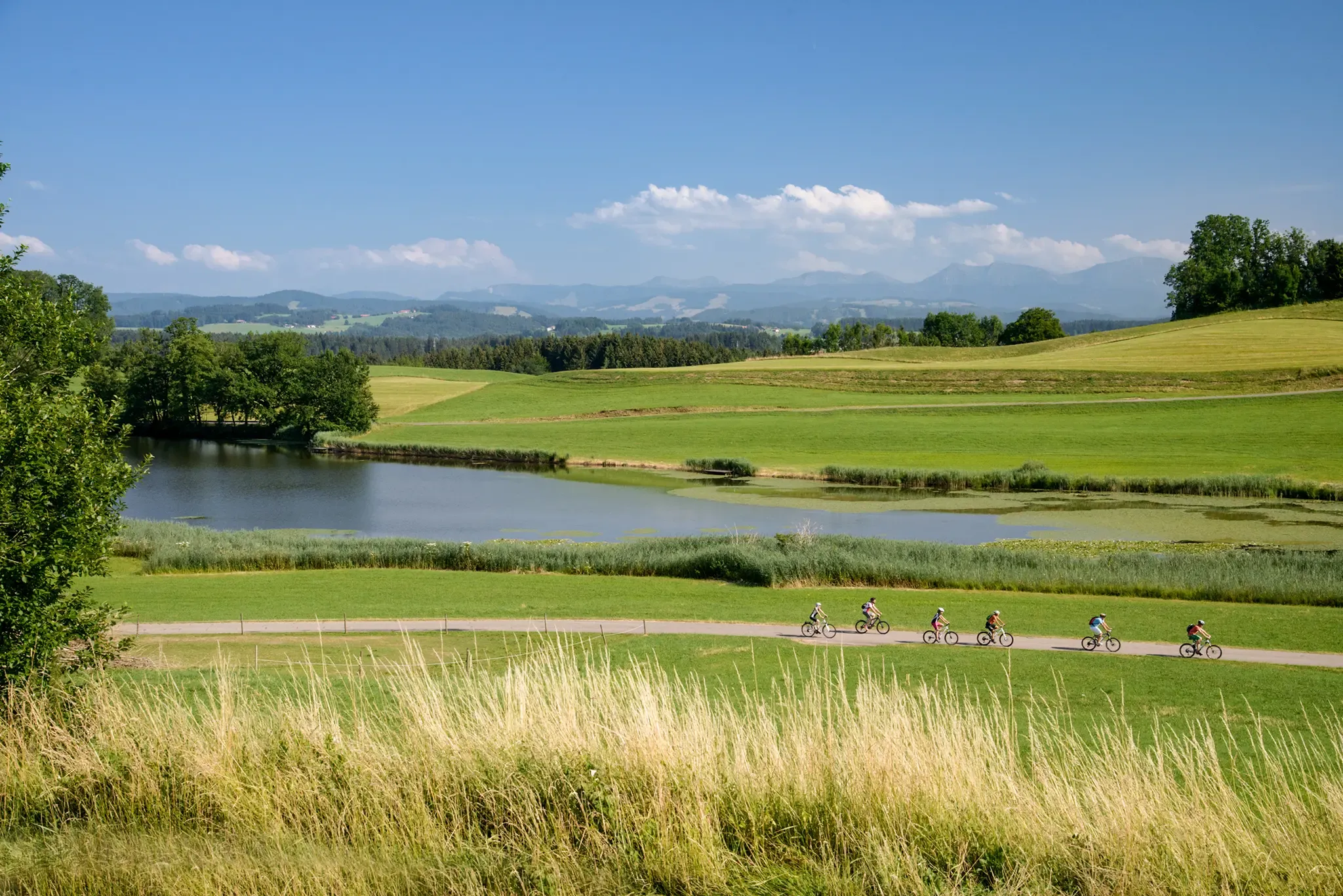
Water as a constant companion: the DONAU-BODENSEE cycle path
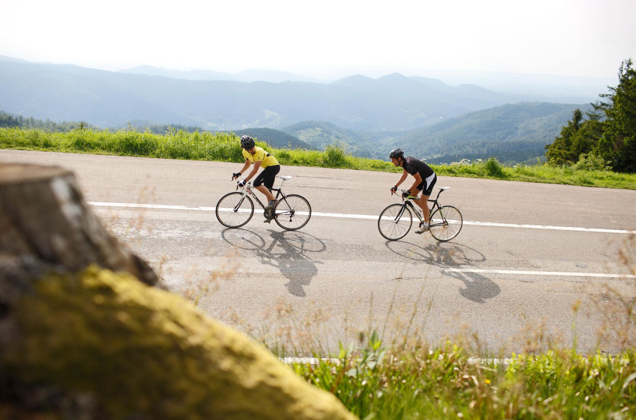
Discover Germany’s Baden-Württemberg by road bike
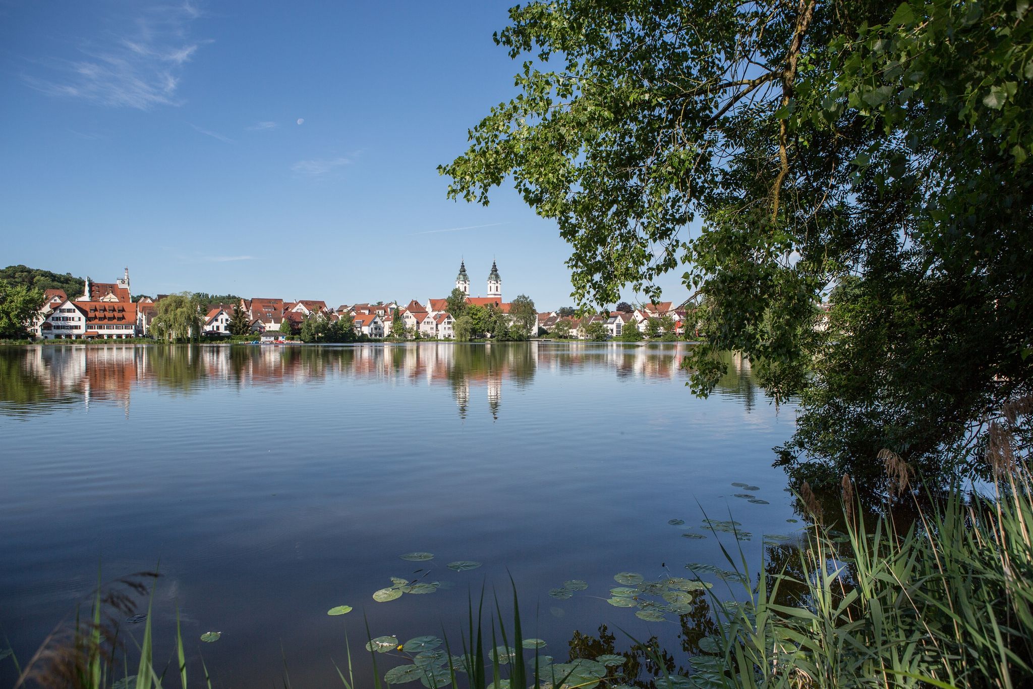
Discover Upper Swabia — Donau-Bodensee Cycle Route in 4 stages
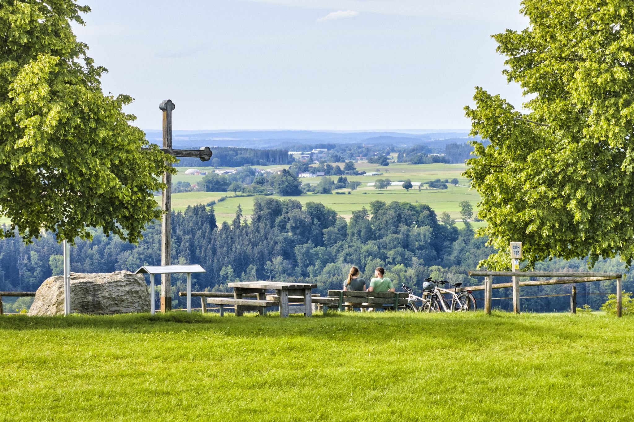
Cycling through Upper Swabia in Germany – beautiful paths & landscapes
Other adventures around Biberach an der Riß


Tips from the Community

Nice lightly gravelled path along the Rotbach, scenic.
0
0
The small organic shop in the Hochstetter Hof has very good own products, especially vegetables but also meat and meat products from their own animals (usually frozen, fresh only if they have just been slaughtered).
1
0

The Jordanberg rises directly behind the Jordanbad spa. It is 638 meters high and offers a beautiful view over fields and forests as far as Biberach.
0
0

From the city park, you can hike past the white tower up to Gigelberg. This is rewarded with a magnificent view of Biberach's historic old town.
2
0
What a fantastic view of Biberach's historic old town. It's definitely worth coming up here.
2
0

Very idyllic little hike that can also be done in summer when the temperatures are hot
0
0

At the Jordanbad (St. Elisabeth Foundation), people can escape from everyday life and find themselves. A break right on your doorstep clears your head and promotes inner balance. The name of the well-known and already holistic therapist, Pastor Sebastian Kneipp (1821–1897), is closely linked to the long and exciting history of the Jordanbad. Today, the Jordanbad, with its six pillars of offerings: thermal spa, park hotel, wellness, therapy and fitness center, PraxisAktiv, residential park for seniors, and Sinn-Welt (Sin-World), addresses people's needs with time-honored methods and modern approaches.
2
0
Frequently Asked Questions
How many bus station hiking trails are available in Biberach an der Riß?
There are nearly 250 hiking routes in Biberach an der Riß that are accessible from bus stations. This guide features a diverse selection, with 176 easy routes, 67 moderate routes, and even 1 difficult option for experienced hikers.
What is the best time of year to go hiking from bus stations in Biberach an der Riß?
The most pleasant seasons for hiking in Biberach an der Riß are spring and autumn, when the weather is mild and the landscape offers vibrant colors. Summer also provides good conditions, while winter can offer snowy trails for those prepared.
Are there any easy, family-friendly routes accessible by bus?
Yes, Biberach an der Riß offers many easy routes suitable for families. A great option is the Flood Control Dam in Wolfental – Café Wolfental loop, which is just over 4 km long and features minimal elevation gain, perfect for a leisurely stroll with children.
Can I find circular hiking routes that start and end at a bus stop?
Many of the trails in this guide are circular, allowing you to start and finish your hike at the same bus station. For example, the Parkhotel Jordanbad – Jordanpark loop is an easy 4.7 km circular route that takes you through pleasant parkland.
What natural features or landmarks can I expect to see on these bus-accessible trails?
The region around Biberach an der Riß is rich in natural beauty and interesting landmarks. You might encounter the unique ecosystem of the Federsee moor, with its Federseesteg Boardwalk, or enjoy views from the Federsee Observation Platform. Many routes also follow the tranquil Riß River or wind through the extensive Burrenwald forest.
Are there any longer, more challenging routes that can be reached by public transport?
For those seeking a longer, moderate challenge, consider the Krummbach Waalweg – Krummbach Water Engineering Heritage Trail loop. This route is over 15 km long and features more significant elevation changes, offering a rewarding experience through varied terrain.
What do other hikers say about the bus station trails in Biberach an der Riß?
The komoot community highly rates the hiking experiences in Biberach an der Riß, with an average score of 4.5 stars from nearly 5,000 ratings. Reviewers often praise the well-maintained paths, the accessibility from public transport, and the diverse scenery ranging from river valleys to dense forests.
Are there any trails that combine urban sights with nature?
Yes, some routes offer a blend of urban exploration and natural surroundings. The White Tower, Biberach – Renaturation of the Rotbach loop is a moderate 12 km trail that takes you past historical points like the White Tower within Biberach, before leading you into greener areas along the Rotbach river.
Can I find routes that pass through open fields or offer scenic views?
Absolutely. The region is characterized by gentle hills and open meadows, providing many opportunities for scenic views. The Poppy Fields Near Mettenberg – Hochstetterhof Farm Shop loop is an easy route that takes you through picturesque landscapes, including open fields that can be particularly beautiful when in bloom.
Where can I find more information about public transport schedules in Biberach an der Riß?
For detailed information on bus schedules and routes to access these hiking trails, it's best to consult the local public transport provider's website or the official tourist information for Biberach an der Riß. You can also find general information about the region's hiking opportunities on visitbiberach.de.
Most popular routes around Biberach an der Riß
Most popular attractions around Biberach an der Riß

Get inspired with the komoot mobile app


Explore more
Browse the best Hikes in other regions.
