The best hikes from bus stations around Dingelstädt
4.6
(2549)
9,824
hikers
38
hikes
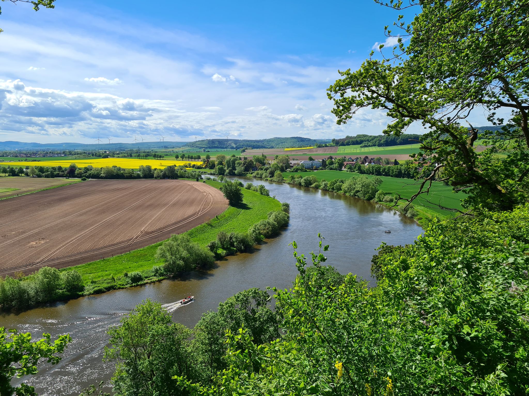
Bus station hiking trails around Dingelstädt offer access to a landscape characterized by rolling hills, lush valleys, and dense forests within the Eichsfeld region. The town is situated at the confluence of the Helbe and Unstrut rivers, providing opportunities for riverside paths. This area serves as a gateway to the Eichsfeld-Hainich-Werratal Nature Park, featuring diverse natural beauty and well-maintained trails. Hikers can expect varied terrain, including former railway lines and plateaus like the Hockelrain, which offers panoramic views.
Best bus station hiking trails around Dingelstädt
- The most popular bus station hiking route is Kefferhausen Viaduct – Kerbscher Berg Monastery loop from Dingelstädt, an easy 3.7 miles (5.9 km) trail that takes 1 hour 34 minutes to complete, passing by a historic viaduct and monastery.
- Another top favourite among local hikers is Marian Wayside Shrine – Pavilion Kerbscher Berg loop from Dingelstädt, an easy 2.1 miles (3.3 km) path. This route offers a short, accessible walk through local landmarks and natural scenery, typically completed in about 51 minutes.
- Local hikers also love the Café Luise – Kanonenbahn Cycle Path loop from Dingelstädt, a 2.9 miles (4.6 km) trail leading through the former Kanonenbahn railway line, often completed in about 1 hour 13 minutes.
- Hiking around Dingelstädt is defined by rolling hills, river paths along the Helbe and Unstrut, and trails along former railway lines. The network offers options for different ability levels, from easy strolls to moderate excursions.
- The routes in Dingelstädt are highly rated by the komoot community with an average score of 4.6 stars from over 2,200 reviews. More than 9,200 hikers have used komoot to explore Dingelstädt's varied terrain.
Last updated: July 25, 2026
4.3
(4)
46
hikers
Easy hike. Great for any fitness level. Easily-accessible paths. Suitable for all skill levels.
4.3
(7)
49
hikers
Easy hike. Great for any fitness level. Easily-accessible paths. Suitable for all skill levels.

Sign up for free
4.6
(5)
42
hikers
Easy hike. Great for any fitness level. Easily-accessible paths. Suitable for all skill levels.
23
hikers
4.62km
01:14
50m
50m
Easy hike. Great for any fitness level. Easily-accessible paths. Suitable for all skill levels.
4.5
(2)
24
hikers
Easy hike. Great for any fitness level. Easily-accessible paths. Suitable for all skill levels.
Get access to more routes and recommendations from other explorers.
Sign up for free
Already have an account?
Our route recommendations are based on thousands of hikes, rides, and runs completed by other people on komoot.
Start today with a free account
Your next adventure awaits.
Login or Signup
Popular around Dingelstädt
Other adventures around Dingelstädt

Tips from the Community

Official start of the Unstrut cycle path
1
0

There are wonderful rest areas next to the road
4
0

One of many great rest areas along the cycle path.
4
2
Good starting point for a great bike tour.
2
2


Cycle signposts show you the direction of the next destination and the distance. This makes it easy to find your way. In addition, small pictograms are attached to the themed routes
0
0

Great, well-developed cycle paths, easy to ride on. The surface makes it really fun to ride on.
4
1
Frequently Asked Questions
How many bus-accessible hiking trails are there around Dingelstädt?
There are over 25 hiking routes around Dingelstädt that are easily accessible from bus stations. These include a variety of options, with 15 easy, 11 moderate, and 2 difficult trails to choose from.
What kind of landscapes can I expect on bus station hikes in Dingelstädt?
The bus-accessible hikes in Dingelstädt offer a diverse range of landscapes characteristic of the Eichsfeld region. You can expect rolling hills, lush green valleys, and picturesque meadows, often alongside the Helbe and Unstrut rivers. Many trails wind through dense forests and provide panoramic views, such as those from the Hockelrain plateau.
Are there easy, family-friendly bus station hikes in Dingelstädt?
Yes, Dingelstädt offers numerous easy and family-friendly bus-accessible hikes. Many routes are relatively flat and suitable for all ages. For example, the Marian Wayside Shrine – Pavilion Kerbscher Berg loop from Dingelstädt is an easy option, perfect for a leisurely stroll.
What do other hikers say about the bus station trails in Dingelstädt?
The bus station trails around Dingelstädt are highly regarded by the komoot community, with an average rating of 4.6 stars from over 2,200 reviews. Hikers often praise the well-maintained paths, the scenic views, and the convenience of public transport access.
Are there bus-accessible circular routes in Dingelstädt?
Absolutely. Many of the bus-accessible trails in Dingelstädt are circular routes, allowing you to start and end your hike at the same bus stop without needing to retrace your steps. An example is the Kefferhausen Viaduct – Kerbscher Berg Monastery loop from Dingelstädt, which offers a pleasant round trip.
Can I bring my dog on these bus station hikes?
Yes, most hiking trails in the Dingelstädt region are dog-friendly. It's generally recommended to keep your dog on a leash, especially in nature protection areas or when passing through agricultural land, to ensure the safety and comfort of wildlife and other hikers.
Are there any waterfalls or natural monuments accessible from bus stops?
Yes, the region boasts several natural highlights. You can find the Großbartloff Waterfall, a notable natural monument, within reach of some bus-accessible routes. Additionally, the Unstrut Spring and Leine Spring are also significant natural features in the wider area.
What are some notable viewpoints or landmarks I can reach on these trails?
Many bus-accessible trails lead to impressive viewpoints and historical landmarks. You can discover the Schimberg Cross at Martinfeld Window for expansive views. The region is also known for its proximity to Hanstein Castle and the panoramic vistas from the Hockelrain plateau.
Are there any trails that follow old railway lines or rivers?
Yes, Dingelstädt is home to the popular Kanonenbahn Rail Trail, an old railway line converted into a scenic path, featuring impressive viaducts and tunnels. Sections of this trail are accessible from bus stops. You can also find tranquil paths along the Helbe and Unstrut rivers, offering beautiful riverside scenery.
What's the best season for bus-accessible hiking in Dingelstädt?
The best seasons for hiking in Dingelstädt are spring, summer, and autumn. Spring brings blooming landscapes, summer offers warm weather for longer excursions, and autumn provides stunning foliage. While winter hiking is possible, some paths might be icy or snowy, so checking conditions beforehand is advisable.
Where can I find a good short hike from a bus station in Dingelstädt?
For a shorter, easy hike directly from a bus station, consider routes like the Café Luise – Kanonenbahn Cycle Path loop from Dingelstädt. This route offers a pleasant walk of under 5 kilometers, perfect for a quick escape into nature.
Are there options for longer, more challenging bus station hikes?
Yes, if you're looking for a longer and more challenging experience, there are moderate to difficult bus-accessible routes available. The View of Dingelstädt – Lindenhof Restaurant loop from Dingelstädt, for instance, is a moderate 12.8 km hike with more significant elevation changes, offering a rewarding day out.
Most popular routes around Dingelstädt
Most popular attractions around Dingelstädt

Get inspired with the komoot mobile app


Explore more
Browse the best Hikes in other regions.
