The best hikes from bus stations around Holzen
4.6
(5466)
16,798
hikers
20
hikes
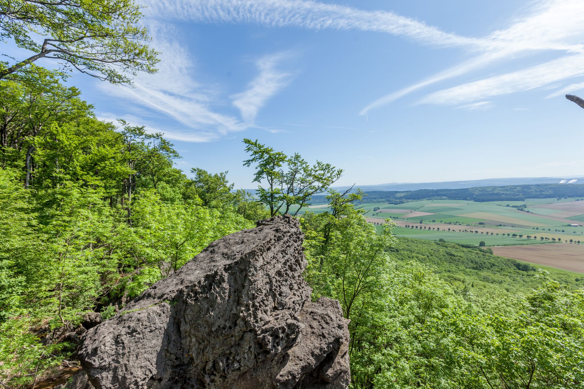
Bus station hiking trails around Holzen offer access to the diverse landscapes of the Holzminden region, situated near the Ith and Hils mountain ranges. The area is characterized by impressive rock formations, such as the Lüerdissen Cliffs, alongside dense forests and open Ith meadows. Hikers will find varied terrain, from gentle paths through valleys to routes with panoramic views across the countryside.
Best bus station hiking trails around Holzen
- The most popular bus station hiking route is Ithwiesen Glider Airfield – Ithwiesen Nature Reserve loop from Holzen, a 4.8 miles (7.7 km) trail that takes 2 hours 14 minutes to complete, passing by the glider airfield and through a nature reserve.
- Another top favourite among local hikers is Lüerdissen Cliffs – Rock Arch (Ith) loop from Holzen, a moderate 8.1 miles (13.0 km) path featuring dramatic rock formations and cliffs.
- Local hikers also love the Wilhelm Raabe Tower – Firebreak Hut Viewpoint loop from Holzen, a 9.3 miles (15.0 km) trail leading through forested areas to notable viewpoints, often completed in about 4 hours 23 minutes.
- Hiking around Holzen is defined by the geological features of the Ith and Hils, dense forests, and expansive meadows, offering routes for various ability levels.
- The routes in Holzen are highly rated by the komoot community with an average score of 4.6 stars from over 5000 reviews. More than 17000 hikers have used komoot to explore Holzen's varied terrain.
Last updated: July 25, 2026
4.8
(84)
246
hikers
7.68km
02:14
200m
200m
Moderate hike. Good fitness required. Easily-accessible paths. Suitable for all skill levels.
4.7
(44)
170
hikers
15.4km
04:29
380m
380m
Moderate hike. Good fitness required. Easily-accessible paths. Suitable for all skill levels.

Sign up for free
4.7
(84)
275
hikers
15.1km
04:24
420m
420m
Moderate hike. Good fitness required. Easily-accessible paths. Suitable for all skill levels.
4.8
(22)
90
hikers
11.6km
03:20
280m
280m
Moderate hike. Good fitness required. Easily-accessible paths. Suitable for all skill levels.
4.7
(18)
62
hikers
Moderate hike. Good fitness required. Easily-accessible paths. Suitable for all skill levels.
Get access to more routes and recommendations from other explorers.
Sign up for free
Already have an account?
Our route recommendations are based on thousands of hikes, rides, and runs completed by other people on komoot.
Start today with a free account
Your next adventure awaits.
Login or Signup
Popular around Holzen
Other adventures around Holzen

Tips from the Community


Stamp fans will find their goal here. 😉
7
0

You have a great distant view here
0
0

From the upper path, the rock head is easily accessible for hikers.
2
0

The cliff path offers impressive views and beautiful photo opportunities
0
0
You can also enter the witches’ pulpit
1
0

Frequently Asked Questions
How many bus-accessible hiking trails are available around Holzen?
There are nearly 20 hiking trails around Holzen that are easily accessible via bus stations, offering a variety of experiences for different skill levels. These routes are designed to start and end conveniently near public transport stops.
What kind of terrain can I expect on bus-accessible hikes near Holzen?
The bus-accessible trails around Holzen offer diverse terrain, ranging from dense forests and open Ithwiesen (Ith meadows) to impressive rock formations. You'll encounter paths along the Ith and Hils mountain ranges, with some routes featuring dramatic cliffs and valleys, providing varied scenery throughout your journey.
Are there any easy, family-friendly hikes reachable by bus from Holzen?
Yes, Holzen offers several easy, family-friendly hikes accessible by bus. For instance, the Ithwiesen Glider Airfield – Ithwiesen Nature Reserve loop from Holzen is a moderate route that offers interesting sights like the glider airfield and open meadows, suitable for families looking for a pleasant outing. The region also features educational trails like the 'Bear Trail' in nearby Arholzen, which can be reached via local bus connections.
Can I bring my dog on these bus-accessible trails?
Most hiking trails around Holzen are dog-friendly, but it's always recommended to keep your dog on a leash, especially in nature reserve areas like the Ithwiesen, to protect local wildlife. Always ensure your dog is well-behaved around other hikers and wildlife.
Are there circular hiking routes starting from Holzen bus stations?
Yes, many of the bus-accessible routes around Holzen are circular, allowing you to return to your starting point without needing to retrace your steps. An example is the Lüerdissen Cliffs – Rock Arch (Ith) loop from Holzen, which offers a scenic circular journey through impressive rock formations.
What are some notable natural landmarks or viewpoints I can see on these hikes?
The bus-accessible hikes around Holzen feature several natural landmarks and viewpoints. You can explore the dramatic Lüerdissen Cliffs, which offer stunning geological formations. Some trails also provide wide views across the surrounding countryside and into valleys. While not directly on these routes, the region also boasts interesting cave systems like the Rothesteinhöhle. For specific highlights, consider visiting the Bruchsee (Duingen) or Weinbergersee, which are part of the wider Holzen area.
What is the best time of year to hike around Holzen using public transport?
The spring and autumn months are generally ideal for hiking around Holzen. Spring brings blooming meadows and comfortable temperatures, while autumn offers vibrant foliage. Summer can also be pleasant, especially in forested areas, but be prepared for warmer weather. Winter hiking is possible, but some paths might be slippery or less accessible depending on snow conditions.
Are there any longer, more challenging bus-accessible hikes for experienced hikers?
For experienced hikers seeking a challenge, routes like the Wilhelm Raabe Tower – Firebreak Hut Viewpoint loop from Holzen offer longer distances and significant elevation changes, traversing the varied terrain of the Ith and Hils mountain ranges. These routes provide a more strenuous workout while still being accessible from local bus stops.
Where can I find refreshments or accommodation near the bus-accessible hiking trails?
Holzen and its surrounding villages offer various options for refreshments and accommodation. While specific cafes or pubs directly at bus stops might vary, you'll find establishments in the main village centers. It's advisable to check local listings or plan your route to pass through villages with amenities. Some routes might also pass by facilities like the Kiosk and Pedal-Boat Rental at Bruchsee or the Humboldtsee Campsite, which offer services.
What do other hikers enjoy most about the bus-accessible trails in Holzen?
The bus-accessible trails in Holzen are highly rated by the komoot community, with an average score of 4.6 stars. Hikers often praise the well-maintained trails, the striking geological features of the Ith and Hils, and the blend of dense forests, open meadows, and panoramic views. The convenience of public transport access is also frequently highlighted as a major benefit.
Are there any trails that pass by interesting historical or cultural sites?
While many routes focus on natural beauty, the broader Holzen region is traversed by the Roswithaweg, a significant long-distance pilgrimage trail. Although not all bus-accessible routes directly follow it, this historical context adds a cultural dimension to hiking in the area. You might encounter historical markers or remnants along some paths that hint at the region's past.
Can I find trails that offer open views or pass through meadows?
Absolutely. Many trails around Holzen, particularly those in the Ithwiesen area, offer expansive open views across meadows and valleys. The Ithwiesen Glider Airfield – Panorama Trail to Ith Airfield loop from Holzen is a great example, providing scenic vistas and passing by the interesting glider airfield where you can sometimes observe takeoffs and landings.
Most popular attractions around Holzen

Get inspired with the komoot mobile app


Explore more
Browse the best Hikes in other regions.
