The best hikes from bus stations around Badbergen
4.5
(1014)
4,680
hikers
13
hikes
Bus station hiking trails around Badbergen offer access to the flat, verdant landscape of the Hase River valley in the district of Osnabrück. The region features gentle meanders of the Hase and Kleine Hase rivers, as well as smaller streams, providing generally accessible terrain. The area is characterized by open fields and forests, with minimal elevation changes, making it suitable for various hiking abilities.
Best bus station hiking trails around Badbergen
- The most popular bus station hiking route is Kleine…
Last updated: October 1, 2026
5.0
(1)
3
hikers
Moderate hike. Good fitness required. Easily-accessible paths. Suitable for all skill levels.
3
hikers
Moderate hike. Good fitness required. Easily-accessible paths. Suitable for all skill levels.

6
hikers
15.3km
03:52
30m
30m
Moderate hike. Good fitness required. Easily-accessible paths. Suitable for all skill levels.
5.0
(1)
4
hikers
3.58km
00:54
0m
0m
Easy hike. Great for any fitness level. Easily-accessible paths. Suitable for all skill levels.
4.5
(2)
3
hikers
Moderate hike. Good fitness required. Easily-accessible paths. Suitable for all skill levels.
Get access to more routes and recommendations from other explorers.
Already have an account?
Our route recommendations are based on thousands of hikes, rides, and runs completed by other people on komoot.
Start today with a free account
Your next adventure awaits.


Tips from the Community

At low water (Aug 2026) it appeared like two different rivers. Especially one with gravel, but completely dry.
3
0
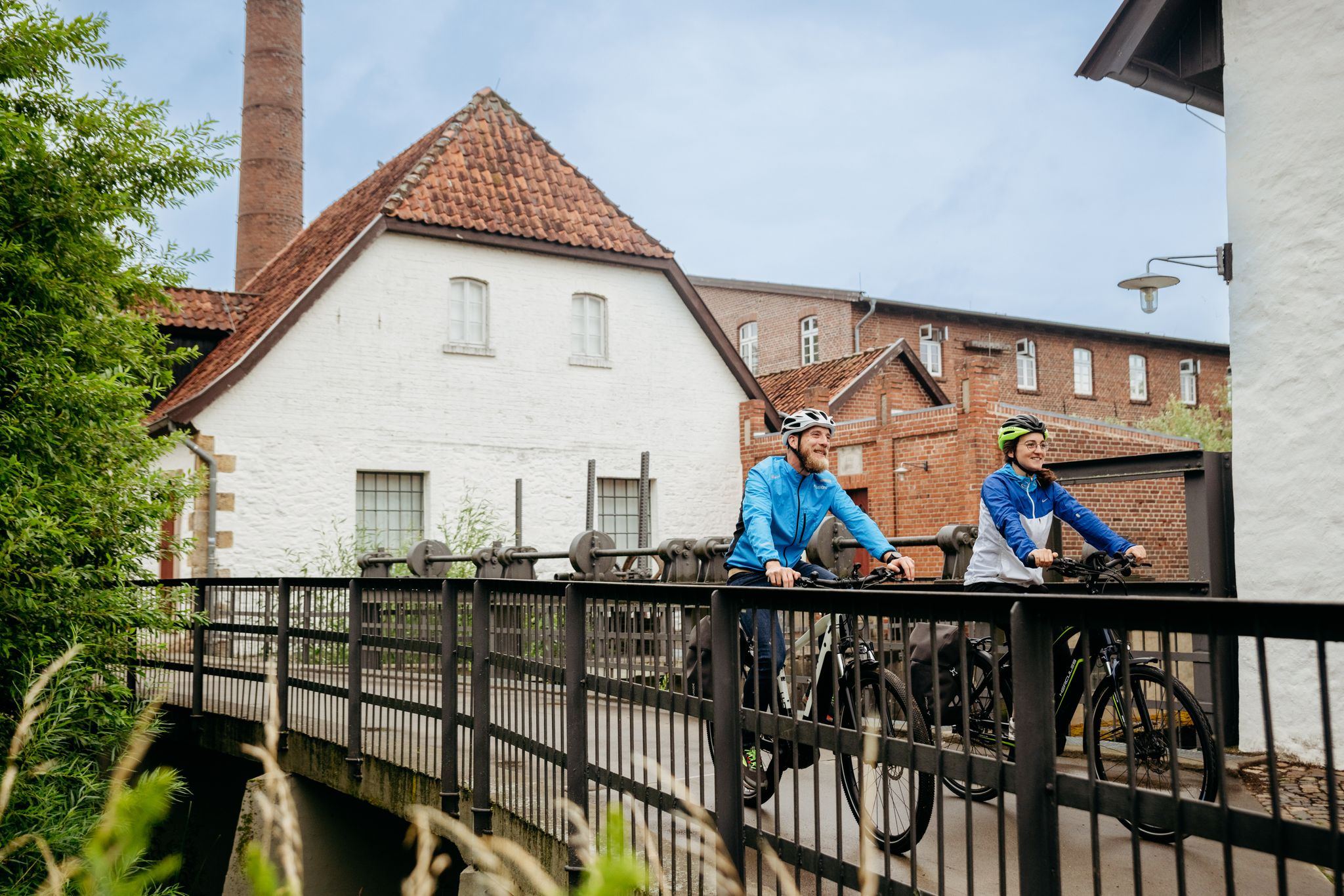
The paths to the right and left of the Hase have slightly different quality. Here, at the bridge, you have the opportunity to look at the other side of the river again.
0
0
Beautiful view over the Hase to the half-timbered farm.
1
0
You have to pay a little attention to which side of the hare you are cycling on. The paths are not equally good.
0
0

nice place to linger outside the everyday hustle and bustle
0
0
rusty monument of past times
0
0
The small hare is no less interesting than the big hare...
0
0
At some point, you stop counting how many times you've crossed the little river.
0
0
Frequently Asked Questions
How many bus station hiking trails are available around Badbergen?
There are over a dozen hiking trails around Badbergen that are easily accessible from bus stations. These routes offer a variety of experiences, from easy strolls to more moderate excursions, primarily exploring the flat, verdant landscape of the Hase River valley.
What is the best time of year to hike near Badbergen's bus stations?
The best seasons for hiking in Badbergen are spring and autumn. During these times, the landscape is vibrant with color, and the mild climate ensures pleasant temperatures for exploring the Hase River valley and surrounding areas.
Are there any easy, family-friendly hikes accessible by bus in Badbergen?
Yes, Badbergen offers several easy routes suitable for families. For a shorter, gentle walk, consider the Picnic Area in Wehdel loop, which is an easy 3.5 km (2.2 mi) trail. The region's flat terrain along the Hase and Kleine Hase rivers is generally very accessible.
What kind of terrain can I expect on bus-accessible hikes in Badbergen?
The terrain around Badbergen is characterized by flat, verdant landscapes, primarily within the Hase River valley. You'll find gentle meanders along the Hase and Kleine Hase rivers, as well as smaller streams like the Wrau. Most trails have minimal elevation changes, making them suitable for various abilities. Expect paths through fields, forests, and along riverbanks.
Are there any circular routes starting from bus stops in Badbergen?
Yes, many of the bus-accessible routes in Badbergen are circular, allowing you to return to your starting point without retracing your steps. An excellent example is the Sohlengleite on the Hase – Kleine Hase River loop from Badbergen, a moderate 15.3 km (9.5 mi) path that follows the course of both rivers.
What do other hikers enjoy most about the trails around Badbergen?
The hiking trails around Badbergen are highly rated by the komoot community, with an average score of 4.5 stars from over 900 reviews. Hikers often praise the peaceful riverine landscapes, the well-maintained paths, and the opportunity to enjoy nature away from the hustle and bustle, especially the accessible routes along the Hase and Kleine Hase rivers.
Can I find longer, more challenging hikes accessible by bus in Badbergen?
While most trails are moderate due to the flat terrain, you can find longer routes. The Kleine Hase River – Sohlengleite on the Hase loop from Wehdel, Ottermann is a moderate 18.2 km (11.3 mi) trail, offering an extended exploration of the river valleys. These routes provide a good workout while still being relatively flat.
Are there any notable natural features or landmarks to see on these hikes?
Yes, the region offers several points of interest. You can explore the picturesque Hase River Valley itself, known for its gentle meanders. While not directly on every bus-accessible route, the nearby Heidesee Recreation Center, Holdorf and Märschendorfer Lakes offer beautiful lakeside scenery. The region is also known for its rich bird life, especially around Lake Dümmer.
Are there any historical sites or castles near the bus-accessible hiking trails?
While the bus-accessible trails primarily focus on natural landscapes, the broader Badbergen area is home to historical sites. You can find impressive castles like Burg Dinklage Abbey or Eggermühlen Castle. These are typically a short journey from the main hiking areas and offer a glimpse into the region's rich history.
What kind of views can I expect on the bus station hikes in Badbergen?
The hikes offer extensive views of the Hase and Kleine Hase rivers, meandering through flat, open agricultural lands and verdant meadows. You'll also pass through tranquil forests and fields, providing a serene and picturesque experience. The lack of significant elevation means panoramic views are less common, but the beauty lies in the intimate connection with the riverine landscape.
Are there any trails that follow the Wrau Stream?
Yes, you can explore the peaceful landscapes along the Wrau Stream. The Wooden Shelter and Bridge Rest Area – Rest Area by the Wrau Stream loop from Wehdel, Ottermann is a moderate 8.4 km (5.2 mi) trail that takes you through this scenic area, offering a tranquil experience away from the main rivers.
Most popular attractions around Badbergen

Get inspired with the komoot mobile app


Explore more
Browse the best Hikes in other regions.
