The best hikes from bus stations around Krausnick-Groß Wasserburg
4.5
(3753)
13,937
hikers
35
hikes
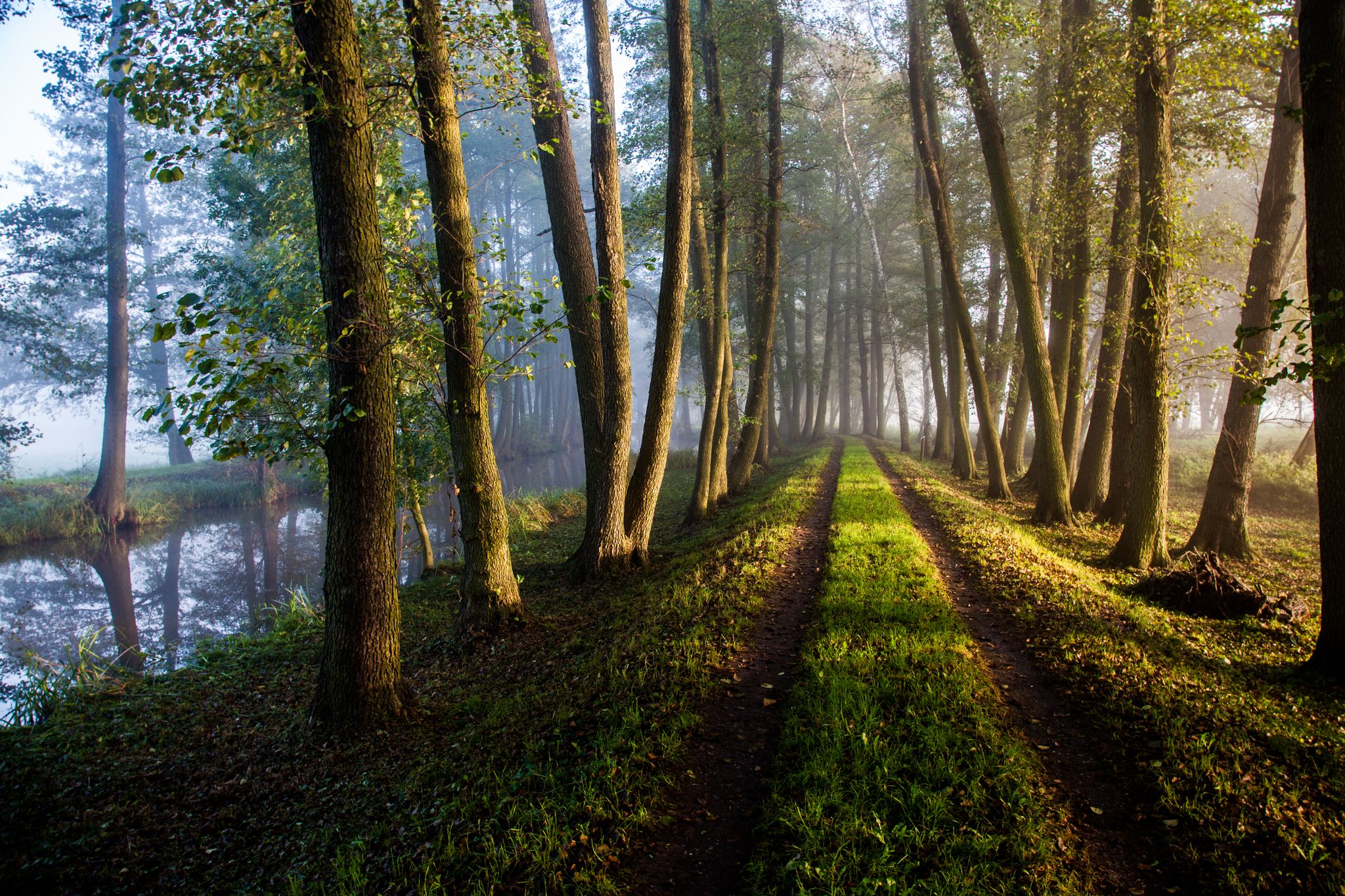
Bus station hiking trails around Krausnick-Groß Wasserburg are situated within the Spreewald Biosphere Reserve and the Dahme-Heideseen Nature Park, offering a diverse landscape for exploration. The region features a dense network of rivers and canals, extensive forest areas, and numerous lakes. The Krausnick Mountains, including the Wehlaberg hill at 144 meters, provide the highest elevations and panoramic views in the otherwise low-lying Brandenburg area.
Best bus station hiking trails around Krausnick-Groß Wasserburg
- The most popular bus station hiking route is…
Last updated: May 15, 2026
4.7
(51)
161
hikers
17.0km
04:33
200m
200m
Moderate hike. Good fitness required. Easily-accessible paths. Suitable for all skill levels.
4.3
(24)
83
hikers
Moderate hike. Good fitness required. Easily-accessible paths. Suitable for all skill levels.

Sign up for free
4.6
(26)
80
hikers
Moderate hike. Good fitness required. Easily-accessible paths. Suitable for all skill levels.
4.4
(26)
114
hikers
7.78km
02:06
100m
100m
Moderate hike. Good fitness required. Easily-accessible paths. Suitable for all skill levels.
5.0
(2)
16
hikers
10.2km
02:46
130m
130m
Moderate hike. Good fitness required. Easily-accessible paths. Suitable for all skill levels.
Get access to more routes and recommendations from other explorers.
Sign up for free
Already have an account?
Our route recommendations are based on thousands of hikes, rides, and runs completed by other people on komoot.
Start today with a free account
Your next adventure awaits.
Login or Signup
Popular around Krausnick-Groß Wasserburg
Other adventures around Krausnick-Groß Wasserburg

Tips from the Community

The barge lock was easy to lock through in July 2025 (in Leibsch they said the lock was closed).
0
0

Beautiful little lake with a weather shelter where you can spontaneously spend the night
0
0

The approach and final climb are problematic on a road bike, as it's mostly gravel and sand. But with anything with wider tires, it shouldn't be a problem.
0
0

Beautiful pond with a complete path around it.
1
0
Unfortunately, there is currently an oak processionary moth nest on almost every oak tree here.
1
0

Pichersee - small, idyllic heath lake near Köthen
0
0

I find the lakes particularly beautiful because I can walk directly along the water
0
0

Wehlaberg Round
1
0
Frequently Asked Questions
How many bus-accessible hiking trails are available around Krausnick-Groß Wasserburg?
There are over 35 hiking trails around Krausnick-Groß Wasserburg that are easily accessible from bus stations. These routes cater to various fitness levels, offering a great way to explore the region's natural beauty using public transport.
What kind of landscapes can I expect on bus-accessible hikes in this region?
The bus-accessible hikes around Krausnick-Groß Wasserburg offer a diverse range of landscapes, situated on the edge of the Spreewald biosphere reserve and within the Dahme-Heideseen Nature Park. You'll encounter dense networks of rivers and canals, extensive forest areas, and numerous lakes like Trift Lake, Picher Lake, and Köthener See. Some trails even lead through the Krausnick Mountains, offering panoramic views from the Wehlaberg, the highest elevation in the Spreewald.
Are there any easy or beginner-friendly bus station hikes?
Yes, there are 10 easy routes accessible by bus, perfect for beginners or those looking for a relaxed stroll. Many of these routes are relatively flat, winding through forests or along lake shores. For example, the Wehlaberg Observation Tower – Wehlaberg Lookout Tower loop is a moderate option that provides a rewarding experience without being overly strenuous, offering great views.
Can I find circular hiking routes that start and end at a bus station?
Absolutely. Many of the trails are designed as loops, allowing you to start and finish your hike conveniently at the same bus stop. A great example is the Trift Lake – Picher Lake loop from Dahme-Spreewald, which takes you through beautiful lake scenery and returns you to your starting point.
What are the typical distances and durations for these bus-accessible hikes?
The distances for bus-accessible hikes vary significantly. You can find shorter routes, like the Wehlaberg Observation Tower – Wehlaberg Lookout Tower loop at about 7.7 km, which takes around 2 hours. Longer options, such as the Island Pond Nature Trail – Island Pond loop, can be up to 18.4 km and take over 4.5 hours, offering a full day's adventure.
What do other hikers say about the trails around Krausnick-Groß Wasserburg?
The hiking trails in this region are highly rated by the komoot community, with an average score of 4.46 stars. Reviewers often praise the quiet woodlands, picturesque lakeside paths, and the well-marked trails that make navigation easy. The diversity of landscapes, from the Spreewald's waterways to the 'Bergspreewald' hills, is frequently highlighted as a major draw.
Are there any interesting landmarks or attractions to see along these bus station trails?
Yes, many trails pass by or lead to interesting landmarks. You can explore the 1,000-year-old village of Krausnick, or visit the Kreuzkirche, an 18th-century half-timbered church. Natural attractions include the View of the Inselteich on the Gurkenradweg, the Spreewald pond landscapes, and various lakes. Some routes even offer views of the Tropical Islands Resort from the Wehlaberg lookout tower.
What is the best time of year to go hiking from bus stations in Krausnick-Groß Wasserburg?
The best seasons for hiking are spring, when the flora is abundant and vibrant, and autumn, with its golden colors and mild weather. These periods offer comfortable temperatures and stunning natural beauty. While winter hikes are possible, some paths might be less accessible or require appropriate gear.
Are there any family-friendly bus-accessible routes?
Many of the easier and moderate routes are suitable for families, especially those that loop around lakes or through gentle forest paths. The region's diverse nature, including the Spreewald's waterways and numerous lakes, provides engaging scenery for children. Look for routes with shorter distances and less elevation gain for a comfortable family outing.
Can I bring my dog on these bus station hikes?
Generally, dogs are welcome on most hiking trails in the region. However, it's always advisable to keep them on a leash, especially in nature reserves like the Spreewald biosphere and Dahme-Heideseen Nature Park, to protect wildlife and ensure a pleasant experience for all hikers. Check local regulations for specific areas if you plan to visit protected zones.
Are there any routes that feature waterfalls or unique natural phenomena?
While the region is generally low-lying, some routes around the Dahme Lakes are known to encompass unique natural features. One specific route is mentioned to cover seven lakes and pass Brandenburg's only waterfall, offering a distinct natural highlight amidst the otherwise gentle landscape.
Most popular routes around Krausnick-Groß Wasserburg
Most popular attractions around Krausnick-Groß Wasserburg

Get inspired with the komoot mobile app


Explore more
Browse the best Hikes in other regions.
