The best traffic-free bike rides around Bitterfeld-Wolfen
4.7
(285)
2,003
riders
10
rides
No traffic road cycling routes around Bitterfeld-Wolfen are characterized by a landscape transformed from former industrial mining into a diverse lake region. The area features extensive recultivated lands, offering a network of well-developed cycling paths around large bodies of water. Cyclists can navigate mostly paved surfaces with gentle elevation changes, providing views across the lakes and through surrounding natural areas. The terrain is generally flat to gently rolling, with hills under 200 meters in elevation.
Best no traffic road cycling…
Last updated: October 1, 2026
4.8
(138)
796
riders
45.8km
01:50
120m
120m
Moderate road ride. Great for any fitness level. Some segments of this route may be unpaved and difficult to ride.
4.6
(29)
332
riders
28.1km
01:20
70m
70m
Moderate road ride. Great for any fitness level. Some segments of this route may be unpaved and difficult to ride.

5.0
(4)
17
riders
30.4km
01:17
80m
80m
Moderate road ride. Great for any fitness level. Some segments of this route may be unpaved and difficult to ride.
4.0
(1)
12
riders
26.2km
01:00
60m
60m
Easy road ride. Great for any fitness level. Mostly well-paved surfaces and easy to ride.
5
riders
71.2km
02:58
130m
130m
Moderate road ride. Good fitness required. Some segments of this route may be unpaved and difficult to ride.
Get access to more routes and recommendations from other explorers.
Already have an account?
Our route recommendations are based on thousands of hikes, rides, and runs completed by other people on komoot.
Start today with a free account
Your next adventure awaits.
Popular around Bitterfeld-Wolfen
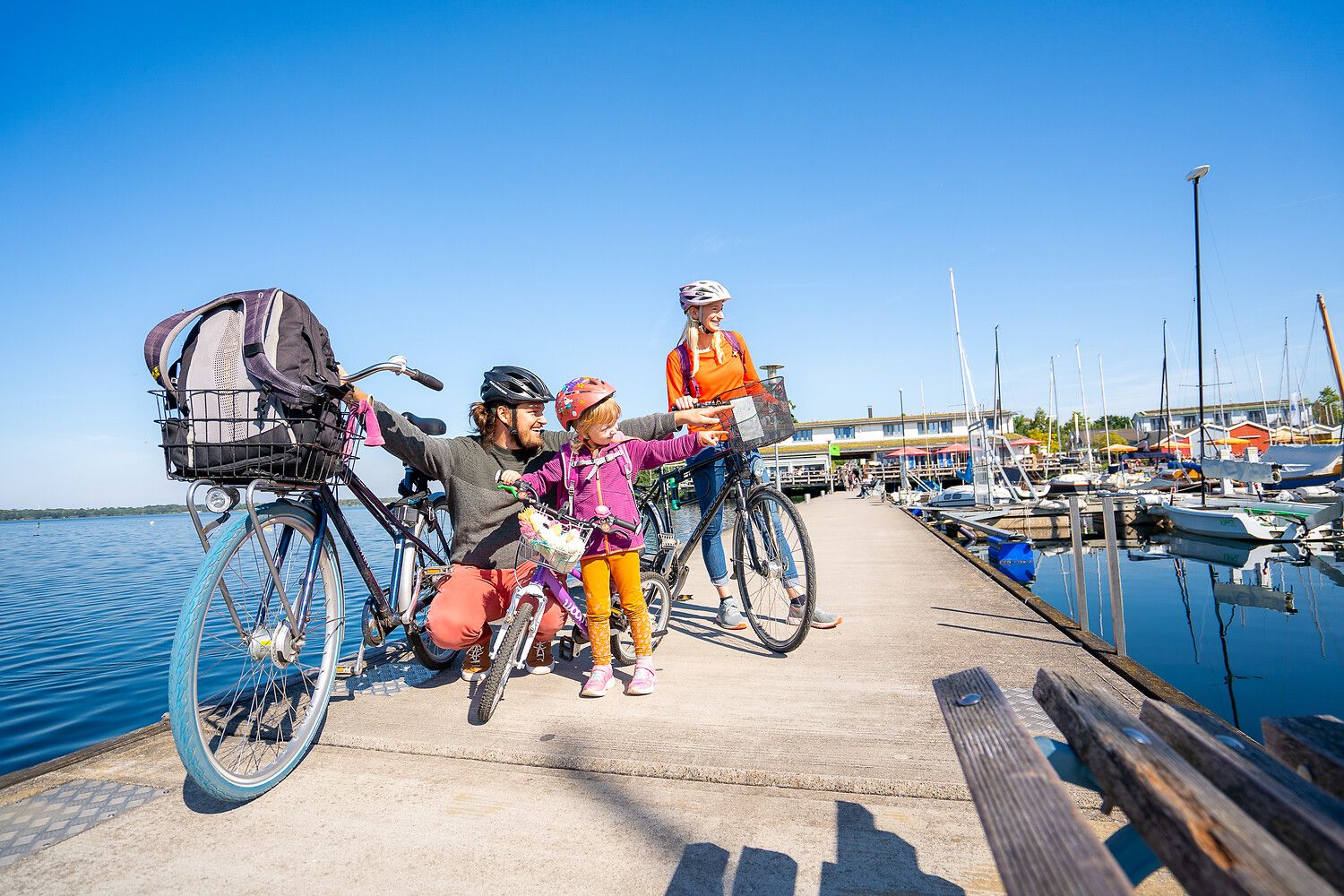
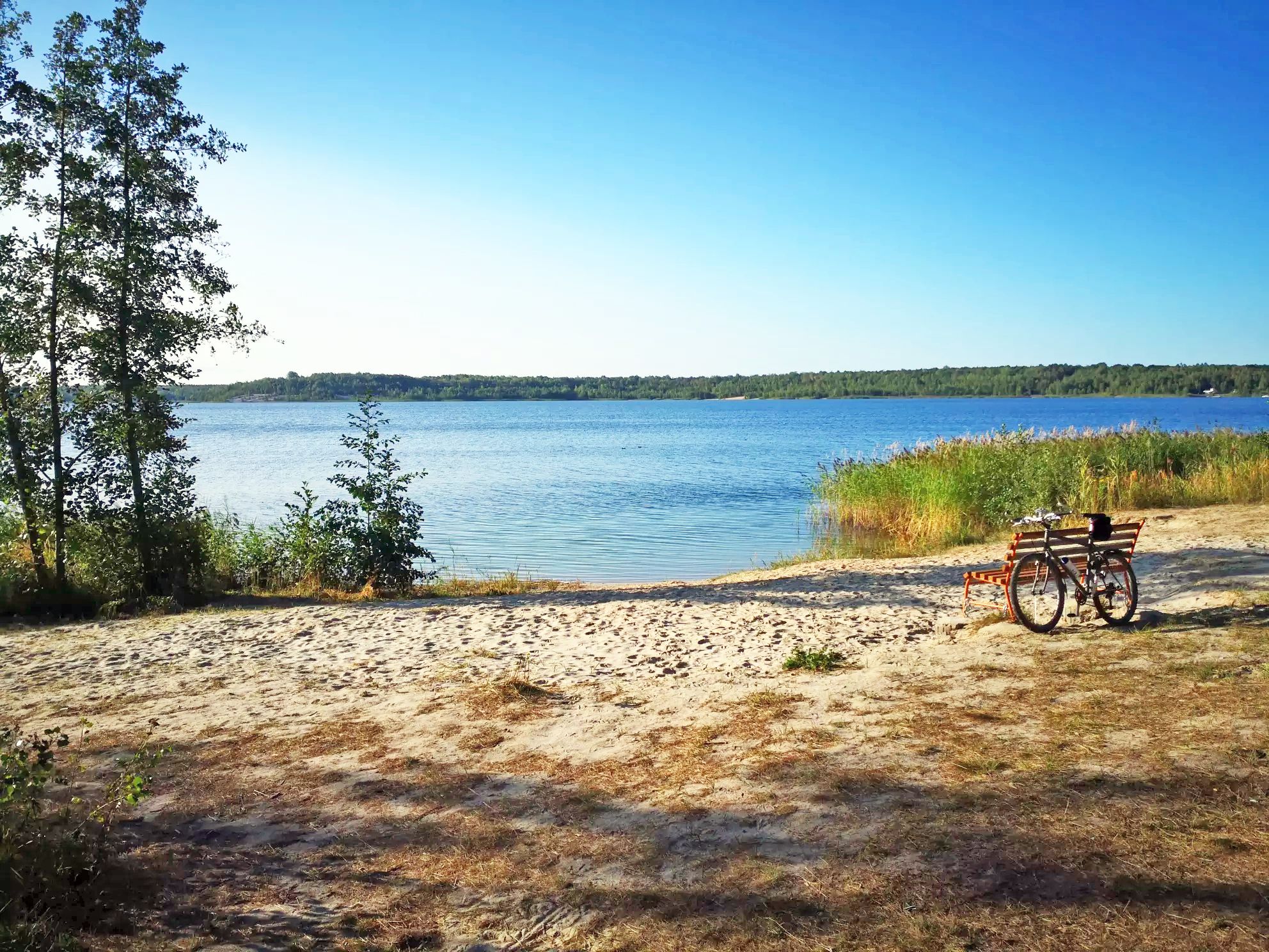
Lake views and fresh air – cycling by the water in the Leipzig region
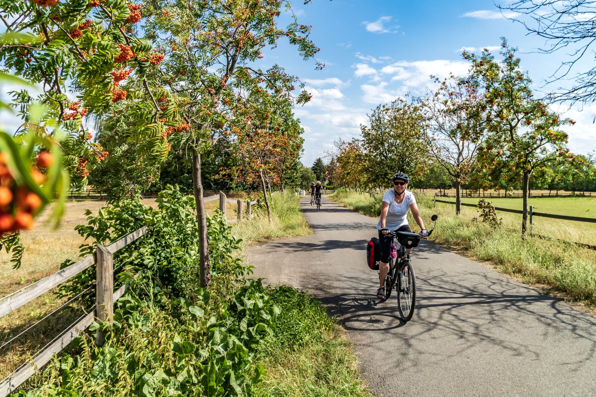
Cycling into the countryside – urban escapism around Leipzig
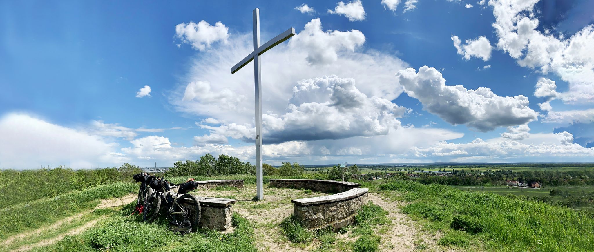
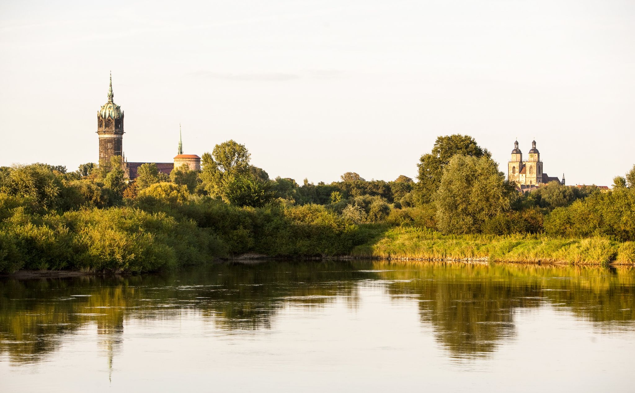
Romanticism on the Elbe River — cycling around the MDV north network
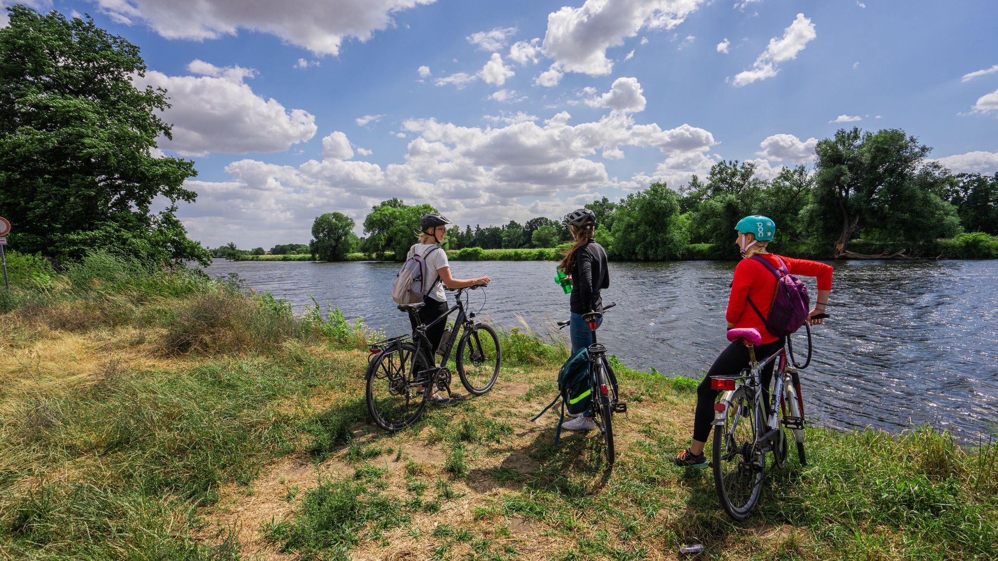
The Mulde Cycling Path
Holiday in Germany – Discover Saxony-Anhalt by bike
Ancient forests & pretty lakes – Cycling adventures around Leipzig
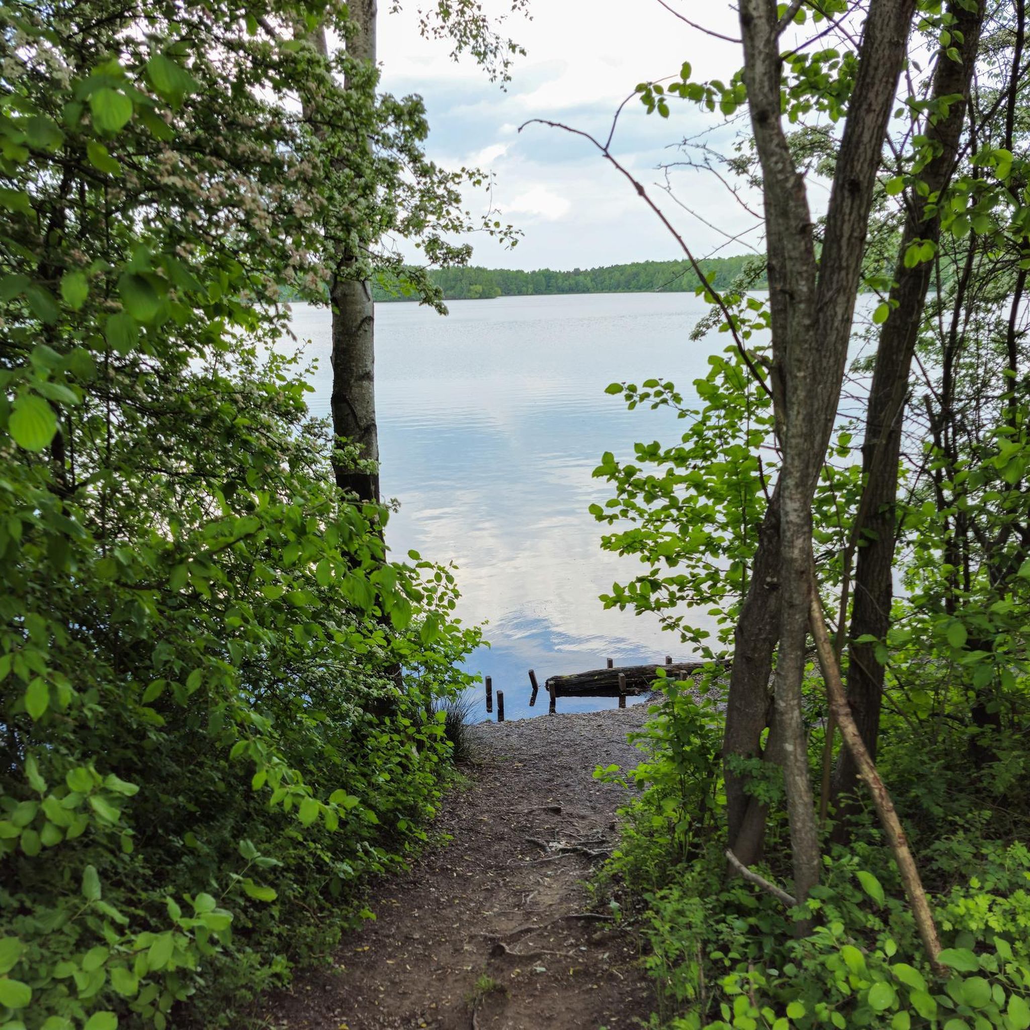
Traffic-free bike rides around Bitterfeld-Wolfen
Other adventures around Bitterfeld-Wolfen


Tips from the Community

Nice seating area with a wonderful view of the lake
0
0

The surface is unfortunately very uneven.
0
0

The frost has taken hold of the connecting channel... beautiful
6
0
The lake lies southeast of Bitterfeld-Wolfen and north of Delitzsch and, together with the Muldestausee, encloses the village of Pouch located in the center of the landscape. In 1998, the flooding of the former open-cast mining area began with the introduction of Mulde river water. However, the project was not completed in 2006, but already in 2002: a break in the Mulde dam caused by the Mulde flood caused the body of water to fill up by 7 meters within two days, far exceeding the target water level, so that it overflowed and partially submerged the nearby town of Bitterfeld (maximum water level 78.64 m above sea level, target water level today 75 m above sea level[1]).[2] Water level gauge tower While the open-cast mine extended across Saxony-Anhalt and Saxony, the present-day Großer Goitzschesee is located in the state of Saxony-Anhalt on the border with Saxony. In contrast, the Seelhausener See, located to the south, lies almost entirely in Saxony; formerly, the Goitzsche open-cast mine was also located there. Source https://de.wikipedia.org/wiki/Gro%C3%9Fer_Goitzschesee
5
0
The Große Goitzschesee is the largest lake in the lake district, which emerged from the former Goitzsche open-cast lignite mine (pronounced: Gottsche) in Saxony-Anhalt. The open-cast mine lake belongs to the Bitterfeld mining district. The northeastern bay near Mühlbeck is called Bernsteinsee. Source https://de.wikipedia.org/wiki/Gro%C3%9Fer_Goitzschesee
6
0

There is an old big apple tree with wonderful apples
0
0
There is an old apple tree with delicious apples
0
0
Frequently Asked Questions
How many traffic-free road cycling routes are available in Bitterfeld-Wolfen?
There are 9 dedicated traffic-free road cycling routes around Bitterfeld-Wolfen featured in this guide. These routes offer a mix of difficulties, including 1 easy, 7 moderate, and 1 difficult option, ensuring there's something for every skill level.
What is the typical terrain and difficulty level of these routes?
The routes in Bitterfeld-Wolfen are generally characterized by relatively flat terrain, especially around the numerous lakes, making them ideal for road cycling. While most routes are considered easy to moderate, with gentle elevation changes, there are also options for those seeking a slightly more challenging ride. For example, the View of Werbeliner Lake loop from Bitterfeld covers over 70 km with moderate elevation.
Are there any family-friendly traffic-free road cycling routes?
Yes, several routes are suitable for families, particularly those around the lakes which offer smooth, paved surfaces and minimal elevation. The Neuhauser Lake Loop from Holzweißig is an excellent easy option, providing a pleasant ride of just over 26 km around the lake, perfect for a relaxed family outing.
Can I find circular road cycling routes without traffic?
Absolutely! Many of the traffic-free road cycling routes in Bitterfeld-Wolfen are designed as loops, allowing you to start and end at the same point. Popular circular routes include the scenic Großer Goitzschesee loop from Bitterfeld, which takes you around the vast Goitzsche Lake, and the shorter Northern Goitzsche Lake loop from Bitterfeld, exploring the Pouch Peninsula.
What natural highlights can I expect to see along these routes?
The region boasts diverse natural beauty, transformed from its industrial past. You can cycle past the expansive Goitzsche Lake, explore the Mulde River meadows, and experience parts of the Dübener Heide Nature Park. Keep an eye out for diverse flora and fauna, including rare bird species in the Goitzsche region and the Mulde floodplains. The Lake Ludwig is another beautiful natural spot you might encounter.
Are there any historical or cultural attractions along the routes?
Yes, the routes often connect you with the region's unique industrial heritage and charming towns. You can visit the iconic Bitterfeld Arch, which offers panoramic views over Lake Goitzsche and the surrounding landscape. Other notable sites include the Delitzsch Baroque Palace and the Burgkemnitz Castle, providing cultural stops during your ride.
What is the best time of year to enjoy traffic-free road cycling in Bitterfeld-Wolfen?
The best time for road cycling in Bitterfeld-Wolfen is generally from spring through autumn (April to October). During these months, the weather is most favorable, with pleasant temperatures and less chance of rain, allowing you to fully enjoy the scenic landscapes and well-maintained paths. The vibrant colors of spring and autumn foliage add an extra layer of beauty to your ride.
Where can I park my car when starting a road cycling tour?
Parking is generally available near popular starting points for cycling routes, especially around the Goitzsche Lake area and in Bitterfeld itself. Look for designated parking areas near recreational facilities or town centers. Many routes are designed to be accessible from various points, offering flexibility for parking.
Are there places to eat or get refreshments along the routes?
Yes, the popular cycling routes, particularly around the Goitzsche Lake, often have cafes, restaurants, and snack bars where you can stop for refreshments. Many charming towns and villages connected by the cycling paths also offer opportunities for a meal or a coffee break, allowing you to refuel and relax during your ride.
What do other cyclists say about road cycling in Bitterfeld-Wolfen?
The komoot community highly rates the road cycling experience in Bitterfeld-Wolfen, with an average score of 4.5 stars from over 220 ratings. Reviewers frequently praise the well-paved, traffic-free paths, the stunning transformation of the former mining landscape into beautiful lake regions, and the unique blend of nature and industrial heritage.
Can I access these routes using public transport?
Bitterfeld-Wolfen is well-connected by public transport, including regional trains. You can often reach starting points of routes by train, and some local bus services might also accommodate bicycles, especially outside of peak hours. It's advisable to check local public transport schedules and bicycle carriage policies in advance.
Most popular routes around Bitterfeld-Wolfen
Most popular attractions around Bitterfeld-Wolfen

Get inspired with the komoot mobile app


Explore more
Browse the best Road cycling routes in other regions.
