The best hikes from bus stations around Spremberg
4.6
(1922)
7,878
hikers
109
hikes
Hiking around Spremberg offers diverse landscapes characterized by the Spree River valley, dense forests, numerous lakes, and wetlands. The region features generally flat terrain, making many routes accessible for various fitness levels. Notable natural features include the expansive Spremberg Reservoir and the Kleiner Naturpark Slamener Kuthen, which provide varied scenic experiences. This area is ideal for exploring nature through its extensive network of bus station hiking trails.
Best bus station hiking trails around Spremberg
- The most popular bus station hiking…
Last updated: August 7, 2026
4.8
(13)
78
hikers
Easy hike. Great for any fitness level. Easily-accessible paths. Suitable for all skill levels.
4.6
(10)
48
hikers
Moderate hike. Good fitness required. Easily-accessible paths. Suitable for all skill levels.

Sign up for free
3.7
(3)
18
hikers
Easy hike. Great for any fitness level. Easily-accessible paths. Suitable for all skill levels.
5.0
(2)
15
hikers
Easy hike. Great for any fitness level. Easily-accessible paths. Suitable for all skill levels.
3.0
(1)
11
hikers
Easy hike. Great for any fitness level. Easily-accessible paths. Suitable for all skill levels.
Get access to more routes and recommendations from other explorers.
Sign up for free
Already have an account?
Our route recommendations are based on thousands of hikes, rides, and runs completed by other people on komoot.
Start today with a free account
Your next adventure awaits.
Login or Signup
Other adventures around Spremberg


Tips from the Community

In total, there are 246 Bismarck towers, all distributed across the federal states.
1
0

The cycle path network between Spree and Neisse is one of the densest and most comfortable in all of Brandenburg. It covers more than 1000 km. Here, cyclists can experience the wonderful landscape of the Spreewald, the river valleys of the Spree and Neisse, the Schlaubetal Nature Park, and the geologically unique features of the UNESCO GLOBAL Geopark Muskauer Faltenbogen, far from busy roads. The node-based signage makes orientation easy. The node number is at the top of each signpost. Below the destination information, there are small inserts with the surrounding node numbers. This allows you to quickly plan your individual tour using the maps and information boards and then cycle comfortably "by numbers" from node to node. https://www.lkspn.de/tourismus/radwandern/radwegenetz.html Of course, also helpful for pedestrians.
0
0
The cycle path network between the Spree and the Lusatian Neisse is one of the densest and most comfortable in all of Brandenburg. It covers more than 1000 km. Here, cyclists can experience the wonderful landscape of the Spreewald, far from busy roads, the river valleys of the Spree and the Lusatian Neisse, the Schlaubetal Nature Park, and the unique geological features of the UNESCO GLOBAL Geopark Muskauer Faltenbogen, which are unique in Europe. The cycle path network is easy to navigate with the help of the numbered junction signs. The junction number is at the top of each sign. Below the destination information, there are small inserts with the surrounding junction numbers. This allows you to quickly plan your individual tour using the maps and information boards and then cycle comfortably "by numbers" from junction to junction. https://www.lkspn.de/tourismus/radwandern/radwegenetz.html Of course, also helpful for pedestrians.
0
0
Centerpiece of village festivals. With playground, picnic area and the Peace Oak from 1870/71.
0
0
Are located not far from the Keltischer Baumkreis rest area next to the footpath and cycle path to Weskow. Caution at the insect hotel: there is a lot of activity there.
0
0

Beautiful fountain on the Lange Straße.
0
0

Aluminium bridge over the Spree, path to Gasthaus Kanu
1
0
Frequently Asked Questions
How many bus-accessible hiking trails are there around Spremberg?
There are over 100 hiking routes around Spremberg that are easily accessible by bus, offering a wide variety of experiences for all skill levels. This includes 70 easy routes, 47 moderate routes, and 1 difficult route.
Are there easy, family-friendly hiking options accessible by bus from Spremberg?
Yes, Spremberg offers many easy and family-friendly hiking options accessible by bus. These trails often feature flat terrain, making them suitable for children. An excellent example is the Kuthen Bridge – Slamener Spreewiesen loop from Spremberg - Grodk, which is an easy 6.6 km route through scenic wetlands. Another great choice is the Celtic Tree Circle Picnic Area loop from Weskow - Wjaska, a 5.2 km easy loop.
Can I bring my dog on these bus-accessible trails?
Many trails around Spremberg are dog-friendly, allowing you to enjoy the natural beauty with your canine companion. It's always recommended to keep dogs on a leash, especially in nature conservation areas like the Kleiner Naturpark Slamener Kuthen, to protect local wildlife. Always check local signage for specific regulations.
Are there circular routes available from bus stations in Spremberg?
Absolutely. Many of the bus-accessible routes around Spremberg are circular, allowing you to start and end your hike at the same bus stop without needing to retrace your steps. The Yellow Spree River at Spremberg – Kuthen Bridge loop from Spremberg - Grodk is a popular 7.8 km easy circular route, and the Bismarck Tower, Spremberg – New Pavilion 'Sängerblick' loop from Spremberg - Grodk offers a 5.1 km easy circular walk with historical interest.
What kind of natural features or landscapes can I expect to see on these trails?
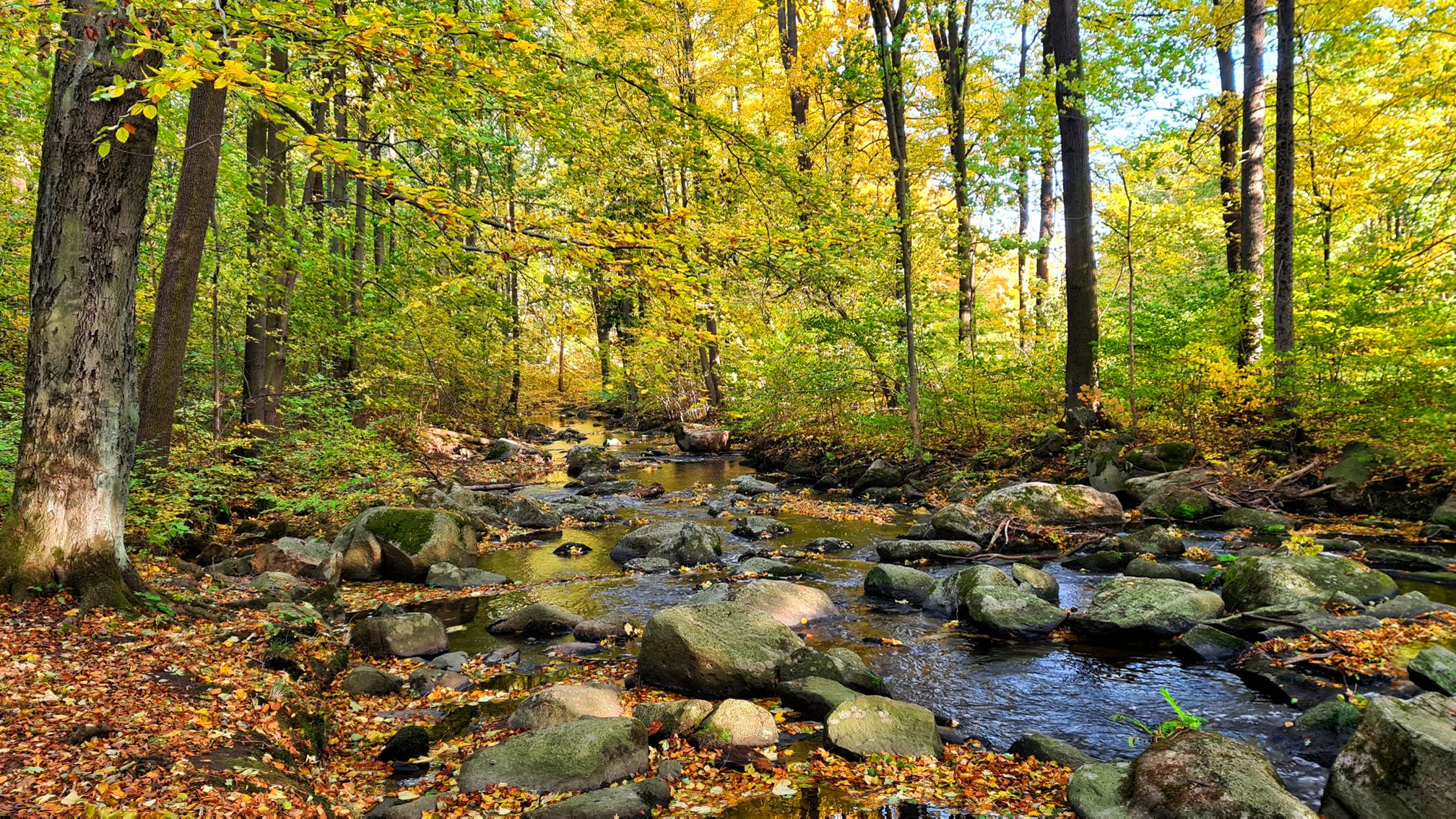
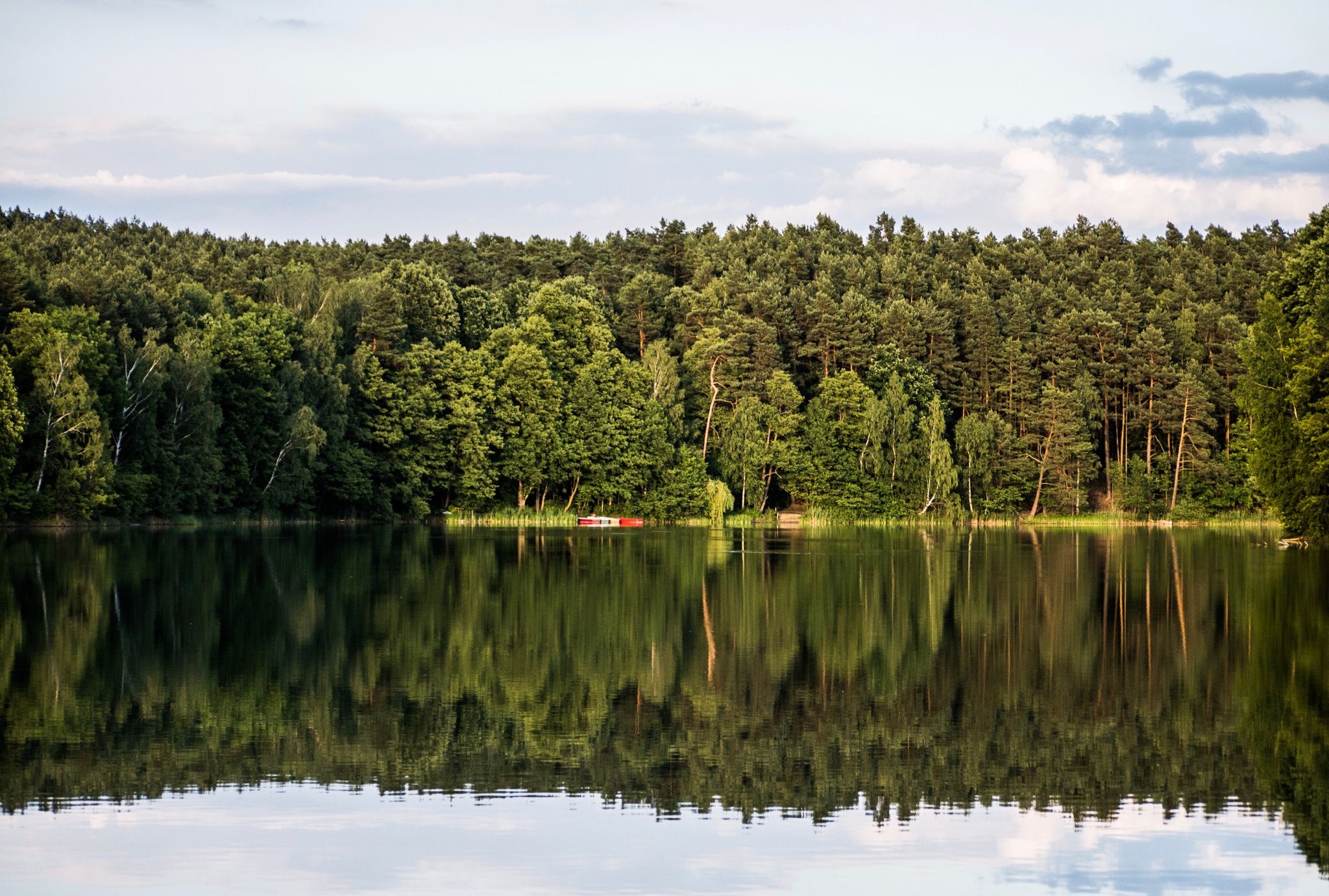
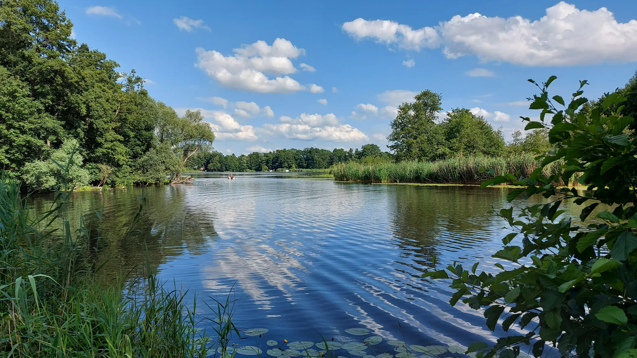
The bus-accessible trails around Spremberg showcase the diverse Lusatian landscape, characterized by dense forests, wetlands, and the Spree River valley. You'll encounter areas like the Kleiner Naturpark Slamener Kuthen with its 'Kuthen primeval forest,' renatured ponds, and diverse flora and fauna, including kingfishers and storks. The region is also known for its numerous lakes, offering tranquil waterside paths.
Are there any interesting landmarks or viewpoints along the bus-accessible routes?
Yes, several routes offer access to notable landmarks and viewpoints. You can visit the Viewpoint shelter at Spremberg Reservoir for expansive views of Brandenburg's only large river dam. The Bismarck Tower, Spremberg – New Pavilion 'Sängerblick' loop from Spremberg - Grodk specifically leads to the historic Bismarck Tower. Additionally, the nearby Rhododendron Gorge (Rhododendronschlucht) offers unique natural beauty.
What is the best time of year to hike these trails around Spremberg?
Spremberg's trails are enjoyable year-round. Spring brings blooming rhododendrons and fresh greenery, while summer offers lush forests and pleasant temperatures for waterside walks. Autumn transforms the landscape with vibrant fall colors, and even winter can be magical with snow-covered forests, though some paths might be slippery. The generally flat terrain makes many routes accessible in various seasons.
Are there any cafes or places to eat near the bus-accessible trailheads?
While specific cafes directly at every bus-accessible trailhead might be limited, many routes start or pass through villages or near the town of Spremberg itself, where you can find dining options. For example, the Schenke Zur Ameise is a highlight that can be incorporated into some routes, offering a place to rest and refuel.
What makes hiking around Spremberg, accessible by bus, a good experience?
Hikers consistently rate the trails around Spremberg highly, with an average score of 4.6 out of 5 stars from over 1900 reviews. Users often praise the region's diverse natural beauty, from the tranquil Spree River and its wetlands to the dense forests and the impressive Spremberg Reservoir. The accessibility by public transport is also a significant advantage, allowing for car-free exploration of this beautiful Lusatian landscape.
Are there any longer, more challenging routes accessible by bus for experienced hikers?
Yes, while many routes are easy, there are moderate options for those seeking a longer challenge. The Bullwinkel Fountain – Spree Pedestrian Bridge loop from Haidemühl - Gózdź is a moderate 15.7 km route that offers a more extensive exploration of the area's natural beauty, accessible from a bus stop in Haidemühl.
Are there any 'hidden gem' trails accessible by bus that offer a unique experience?
The trails within the Kleiner Naturpark Slamener Kuthen are often considered hidden gems. These routes, accessible by bus, lead through high forest sections and offer glimpses of the 'Kuthen primeval forest,' where you can discover rare ferns, lily of the valley, and observe diverse wildlife in its natural habitat, including the Spremberg wolf pack.
Most popular routes around Spremberg
Most popular attractions around Spremberg

Get inspired with the komoot mobile app


Explore more
Browse the best Hikes in other regions.
