The best traffic-free bike rides around Denkingen
4.6
(683)
6,131
riders
95
rides
No traffic road cycling routes around Denkingen are set within the diverse landscapes of the Swabian Alb, characterized by elevated terrain, extensive forests, and open fields. The region features challenging ascents and descents, including prominent hills like the Hohenkarpfen, which reaches 912 meters. In contrast, the Neckar river valley offers more gentle cycling opportunities along its well-laid cycle path. This varied topography provides a range of experiences for road cyclists.
Best no traffic road cycling routes around Denkingen
- The most popular no traffic road cycling route is Descent to Eßlingen – Danube at Oberer Bann loop from Rottweil-Neufra, a 40.9 miles (65.9 km) trail that takes about 3 hours 2 minutes to complete. This moderate route features a total elevation gain of 490 meters.
- Another top favourite among local road cyclists is Roadbike loop from Spaichingen Mitte, a moderate 8.6 miles (13.9 km) path. This route offers a total elevation gain of 326 meters and can be completed in under an hour.
- Local road cyclists also love the Ascent to Kraftstein – Nendingen on the Danube loop from Böttingen, a 26.4 miles (42.5 km) trail leading through varied terrain with 469 meters of elevation gain, often completed in about 2 hours 2 minutes.
- Road cycling around Denkingen is defined by the challenging climbs of the Swabian Alb, serene river paths along the Neckar, and scenic views from hills like Hohenkarpfen. The network offers options for various ability levels, from moderate loops to more difficult ascents.
- The routes in Denkingen are highly rated by the komoot community with an average score of 4.5 stars from more than 660 reviews. More than 5,800 road cyclists have used komoot to explore Denkingen's varied terrain.
Last updated: May 15, 2026
43
riders
13.9km
00:50
330m
330m
Moderate road ride. Good fitness required. Some segments of this route may be unpaved and difficult to ride.
21
riders
28.1km
01:45
660m
660m
Moderate road ride. Good fitness required. Some segments of this route may be unpaved and difficult to ride.

Sign up for free
5.0
(2)
31
riders
33.0km
01:32
220m
220m
Easy road ride. Great for any fitness level. Mostly well-paved surfaces and easy to ride.
11
riders
66.6km
03:16
980m
970m
Hard road ride. Very good fitness required. Mostly well-paved surfaces and easy to ride.
5.0
(1)
8
riders
24.1km
01:11
300m
300m
Moderate road ride. Good fitness required. Mostly well-paved surfaces and easy to ride.
Get access to more routes and recommendations from other explorers.
Sign up for free
Already have an account?
Our route recommendations are based on thousands of hikes, rides, and runs completed by other people on komoot.
Start today with a free account
Your next adventure awaits.
Login or Signup
Popular around Denkingen
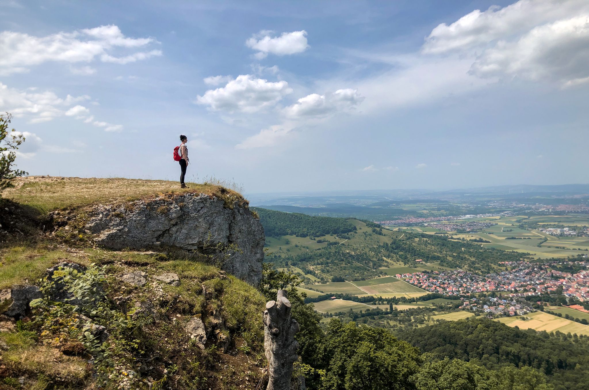
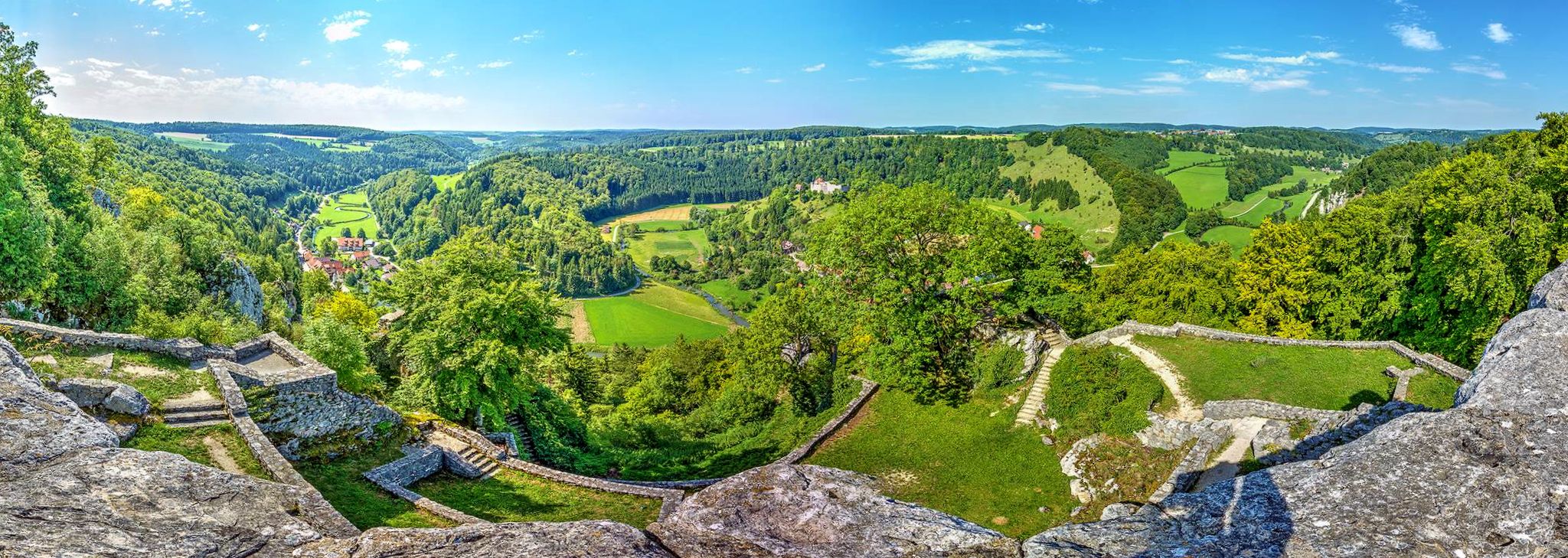
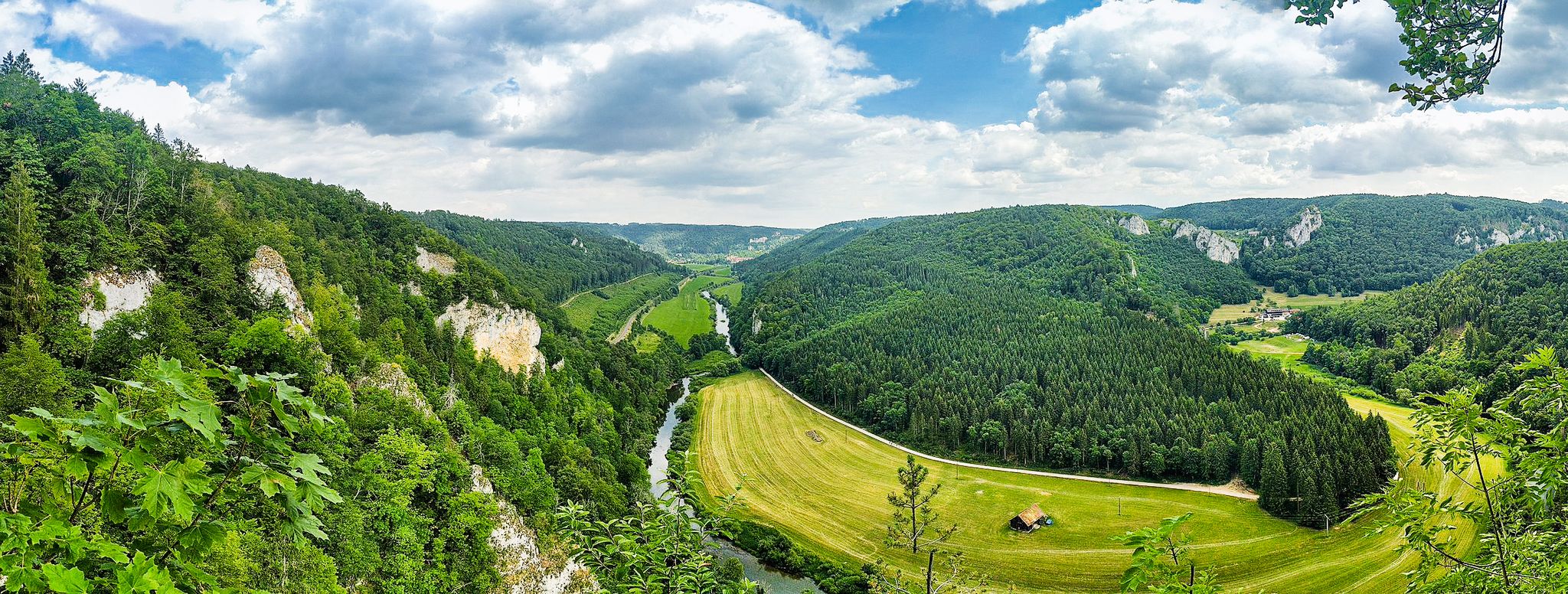


Other adventures around Denkingen


Tips from the Community

Chapel on the Ortenberg
7
0

The blue wonder... but not from Dresden 😉
1
0
Slight elevation with a tower on top - beautiful viewpoint
1
0

I have to be a bit of a smart-ass here: The pictures show the Wulfbach stream, which still flows into the Danube here, as well as the cycle path along it. But the truth is: It's incredibly beautiful and unspoiled here.
1
0
Great rocks, they make the upper Danube a very special landscape
1
0
Here the Young Danube is embedded between meadows, marshland and bushes
1
0
Great surface, beautiful area and always close to the Danube
2
0

Always these cyclists, they're never satisfied! 😂 Those who hang up those small, green and white signs never ride bikes, especially not in the dark. The non-reflective signs, which are also hung "anywhere," are impossible to find in the dark.
1
0
Frequently Asked Questions
How many no-traffic road cycling routes are available around Denkingen?
Denkingen and the surrounding Swabian Alb region offer a fantastic selection of over 90 dedicated no-traffic road cycling routes. These routes range from easy, gentle rides to more challenging ascents, ensuring there's something for every road cyclist looking for peaceful paths.
What kind of terrain can I expect on traffic-free road cycling routes near Denkingen?
The terrain around Denkingen is incredibly diverse. You'll find routes that traverse the elevated landscapes of the Swabian Alb, featuring challenging ascents and descents through extensive forests and open fields. In contrast, the Neckar River Valley offers more gentle, well-laid cycle paths that follow the river, providing a scenic and relatively flat experience away from main roads.
Are there any easy, traffic-free road cycling routes suitable for beginners or a relaxed ride?
Yes, there are several easy, traffic-free options. While many routes in the Swabian Alb involve some climbing, you can find gentler sections, especially along the Neckar Cycle Path. For a moderate but accessible loop, consider the Roadbike loop from Spaichingen Mitte, which offers a taste of the region without extreme difficulty.
What are the best times of year for traffic-free road cycling in Denkingen?
The spring, summer, and early autumn months (roughly April to October) are ideal for road cycling in Denkingen, offering pleasant temperatures and vibrant scenery. The Neckar Cycle Path is even suitable for cycling in winter, though some higher elevation routes on the Swabian Alb might be less accessible due to snow or ice during colder months.
What natural landmarks or scenic viewpoints can I discover on these routes?
Many routes offer stunning views and pass by notable landmarks. You might encounter the majestic Lemberg Tower, which provides breathtaking panoramic views after a rewarding climb. Other scenic spots include the Rainen Summit and the Oberhohenberg Observation Platform. The region's diverse landscape means you'll often cycle through dense forests and along rivers like the Prim.
Are there any routes that offer a significant challenge for experienced road cyclists?
Absolutely. The Swabian Alb is known for its challenging ascents. For experienced riders seeking a demanding, traffic-free experience, routes like the Buttonmaker's Rock – View of Alter Berg loop from Gosheim offer significant elevation gain and distance, testing your endurance amidst beautiful scenery.
Can I find routes that incorporate parts of the Neckar Cycle Path?
Yes, sections of the well-known Neckar Cycle Path are accessible near Denkingen. This path is particularly appealing for its dedicated, well-laid surface and its ability to lead cyclists quickly away from main roads into nature, offering a more gentle and scenic ride compared to the higher Alb terrain.
What do other cyclists say about the no-traffic road cycling routes around Denkingen?
The no-traffic road cycling routes around Denkingen are highly regarded by the komoot community, with an average rating of 4.5 out of 5 stars from over 660 reviews. Cyclists frequently praise the peacefulness of the routes, the stunning natural scenery of the Swabian Alb, and the variety of terrain that caters to different skill levels.
Are there any historical sites or cultural points of interest along these routes?
Beyond natural beauty, the region offers glimpses into its rich history. While cycling, you might pass by picturesque churches like St. Martin or even catch views of historic structures such as the 13th-century Werenwag Castle, adding a cultural dimension to your ride.
Are there any circular no-traffic road cycling routes available?
Yes, many of the no-traffic road cycling routes around Denkingen are designed as circular loops, allowing you to start and end your ride at the same point. For example, the Descent to Eßlingen – Danube at Oberer Bann loop from Rottweil-Neufra offers a substantial circular journey through varied landscapes.
Where can I find parking for these traffic-free road cycling routes?
Parking is generally available in the towns and villages that serve as starting points for these routes, such as Denkingen, Spaichingen, or Rottweil-Neufra. For routes along the Neckar Cycle Path, specific cyclist-friendly parking areas are often designated near access points, making it convenient to begin your traffic-free adventure.
Most popular attractions around Denkingen

Get inspired with the komoot mobile app


Explore more
Browse the best Road cycling routes in other regions.
