The best traffic-free bike rides around Niedert
4.1
(10)
65
riders
6
rides
No traffic gravel bike trails around Niedert are situated within the Hunsrück region of Germany, characterized by its low mountain range landscape. The area features a mix of dense forests, rolling hills, and river valleys, with many routes utilizing former railway lines converted into cycle paths. This terrain provides varied surfaces for gravel biking, including compacted gravel, forest tracks, and paved sections. The elevation changes are generally moderate, making the region accessible for different skill levels.
Best no traffic gravel bike trails around Niedert
- The most popular no traffic gravel bike trail is The Schinderhannes Cycle Path – Horner Castle (Old Ring Wall) loop from Kastellaun, a 14.0 miles (22.5 km) trail that takes 1 hour 25 minutes to complete. This route features a historic cycle path and passes by an old ring wall.
- Another top favourite among local gravel bikers is Hunsrück Railway Cycle Path – The Schinderhannes Cycle Path loop from Kastellaun, a moderate 18.6 miles (30.0 km) path. This trail combines two well-known cycle paths, offering diverse scenery through the Hunsrück landscape.
- Local gravel bikers also love the Trimmbach Lake – Geierlay by bike loop from Laubach, a 23.2 miles (37.3 km) trail leading through forested areas and past Trimmbach Lake, often completed in about 2 hours 21 minutes.
- Gravel biking around Niedert is defined by converted railway lines, forested valleys, and low mountain range terrain. The network offers options for different ability levels, from easy to difficult.
- The routes in Niedert are highly rated by the komoot community with an average score of 3.9 stars from nearly 10 reviews. More than 40 gravel bikers have used komoot to explore Niedert's varied terrain.
Last updated: May 15, 2026
4.7
(6)
16
riders
Moderate gravel ride. Good fitness required. Mostly paved surfaces. Suitable for all skill levels.
5.0
(1)
10
riders
Moderate gravel ride. Good fitness required. Mostly paved surfaces. Suitable for all skill levels.

Sign up for free
4.0
(1)
11
riders
37.3km
02:21
420m
420m
Moderate gravel ride. Good fitness required. Mostly paved surfaces. Suitable for all skill levels.
2.0
(1)
8
riders
Moderate gravel ride. Good fitness required. Mostly paved surfaces. Suitable for all skill levels.
3
riders
18.1km
01:15
380m
380m
Moderate gravel ride. Good fitness required. Mostly paved surfaces. Suitable for all skill levels.
Our route recommendations are based on thousands of hikes, rides, and runs completed by other people on komoot.
Start today with a free account
Your next adventure awaits.
Login or Signup
Popular around Niedert
Tips from the Community

Great excursion restaurant, and a stop during hiking
0
0

Nicely laid out, looks nice.
0
0
Schinderhannes Cycle Path from Simmern to Emmelshausen
0
0
It's always a pleasure to drive.
0
0

We started in Cochem. Right from the start, the road climbed steeply. Then it descended back into the valley, only to then climb the next mountain again. A real challenge for us flatlanders from the Rhineland. The finish line involved a walk across the Geierlay suspension bridge. Not recommended for those with a fear of heights. We looked for the way back off the road and found it in the forest. The last stretch then led us past the Moselle River again.
4
0
Very nice MTB route with many possibilities
0
0

Beautiful cycle path highly recommended
0
0
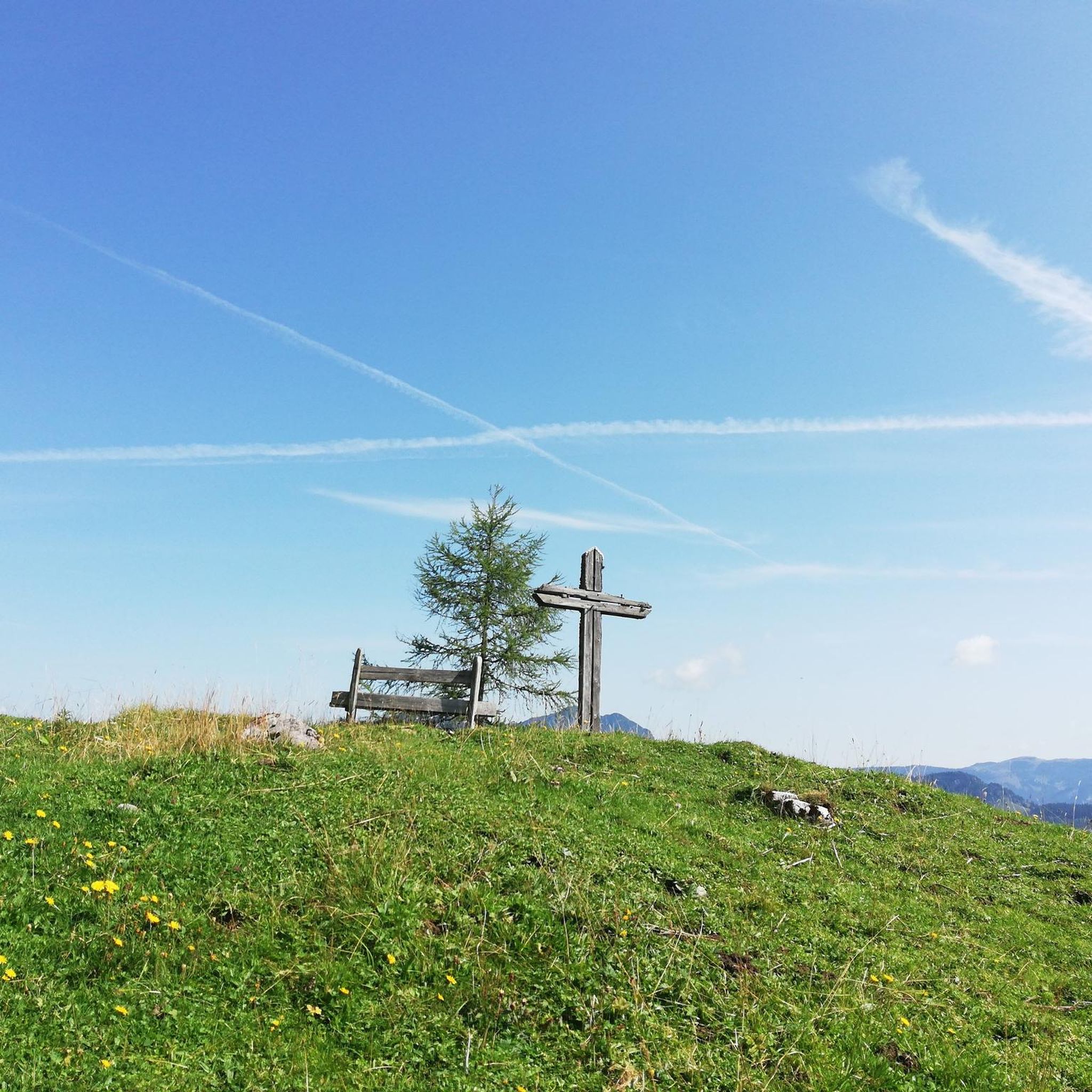
Very nice bench to take a break
0
0
Frequently Asked Questions
How many no-traffic gravel bike trails are available around Niedert?
While Niedert itself is a small locality, the surrounding Hunsrück region offers a selection of traffic-free gravel bike trails. This guide features 6 curated routes, ranging from easy to difficult, ensuring a suitable option for various skill levels.
What kind of terrain and difficulty can I expect on gravel bike trails near Niedert?
The gravel trails in the Hunsrück area around Niedert typically feature varied terrain, including compacted gravel paths, forest roads, and some paved sections. Most routes in this guide are rated as 'moderate' difficulty, with some 'easy' and 'difficult' options. You can expect rolling hills and some climbs, with elevations up to around 400 meters on longer routes like the Trimmbach Lake – Geierlay by bike loop from Laubach.
What is the best time of year for gravel biking in the Niedert area?
The Hunsrück region is generally pleasant for gravel biking from spring through autumn. Spring offers lush greenery and blooming landscapes, while autumn provides vibrant fall colors. Summers are usually mild, but it's always wise to check the local weather forecast before heading out, especially for potential rain.
Are there any family-friendly no-traffic gravel routes near Niedert?
Yes, some routes are suitable for families, particularly those with less elevation gain and smoother surfaces. The Schinderhannes Cycle Path – Horner Castle (Old Ring Wall) loop from Kastellaun is an example of a moderate route that follows a historic railway line, often providing a gentler gradient and traffic-free experience, which can be enjoyable for families.
Can I bring my dog on these gravel trails?
Many forest and gravel paths in the Hunsrück region are dog-friendly, provided your dog is well-behaved and kept on a leash, especially in areas with wildlife or near livestock. Always carry water for your dog and be mindful of local regulations or signs regarding pets on specific trails.
Where can I park my car when cycling near these gravel trails?
For routes starting in towns like Kastellaun or Laubach, you can typically find public parking facilities. For example, when starting the Hunsrück Railway Cycle Path – The Schinderhannes Cycle Path loop from Kastellaun, parking is usually available in Kastellaun town center or designated trailheads.
Is public transport an option to reach these gravel trails?
Public transport options in the rural Hunsrück region can be limited. While some larger towns like Emmelshausen or Kastellaun may have bus connections, direct access to all trailheads via public transport might be challenging. It's advisable to check local bus schedules if you plan to rely on public transport.
Are there places to eat or stay overnight near the gravel routes?
Yes, towns and villages throughout the Hunsrück region, such as Kastellaun, Laubach, or Emmelshausen, offer various options for refreshments and accommodation. You'll find local restaurants, cafes, and guesthouses where you can refuel and rest after your ride.
What natural features or scenic viewpoints can I discover on these routes?
The Hunsrück region is known for its dense forests, rolling hills, and picturesque valleys. Many routes offer scenic views, such as the Schmausemühle – Baybach Valley loop from Gondershausen which takes you through the beautiful Baybach Valley. You might also encounter viewpoints overlooking the Rhine or Moselle valleys, depending on the specific route.
Are there any historical landmarks or attractions along the gravel trails?
The Hunsrück region is rich in history. You can find several historical sites and castles. For instance, the Horner Castle (Old Ring Wall) – Schmiedel Tunnel (Simmern) loop from Laubach passes by the historic Horner Castle (Old Ring Wall). Other routes might lead you past ancient Roman roads or remnants of old railway lines, offering a glimpse into the region's past.
What do other gravel bikers enjoy most about gravel biking in the Niedert area?
The komoot community rates the tours in this guide highly, with an average score of 3.9 stars. Reviewers often praise the tranquility of the traffic-free paths, the immersive forest experiences, and the varied landscapes that make for an engaging ride away from busy roads.
Most popular attractions around Niedert

Get inspired with the komoot mobile app


Explore more
Browse the best Gravel rides in other regions.
