The best traffic-free bike rides around Mellrichstadter Forst
4.7
(111)
1,132
riders
22
rides
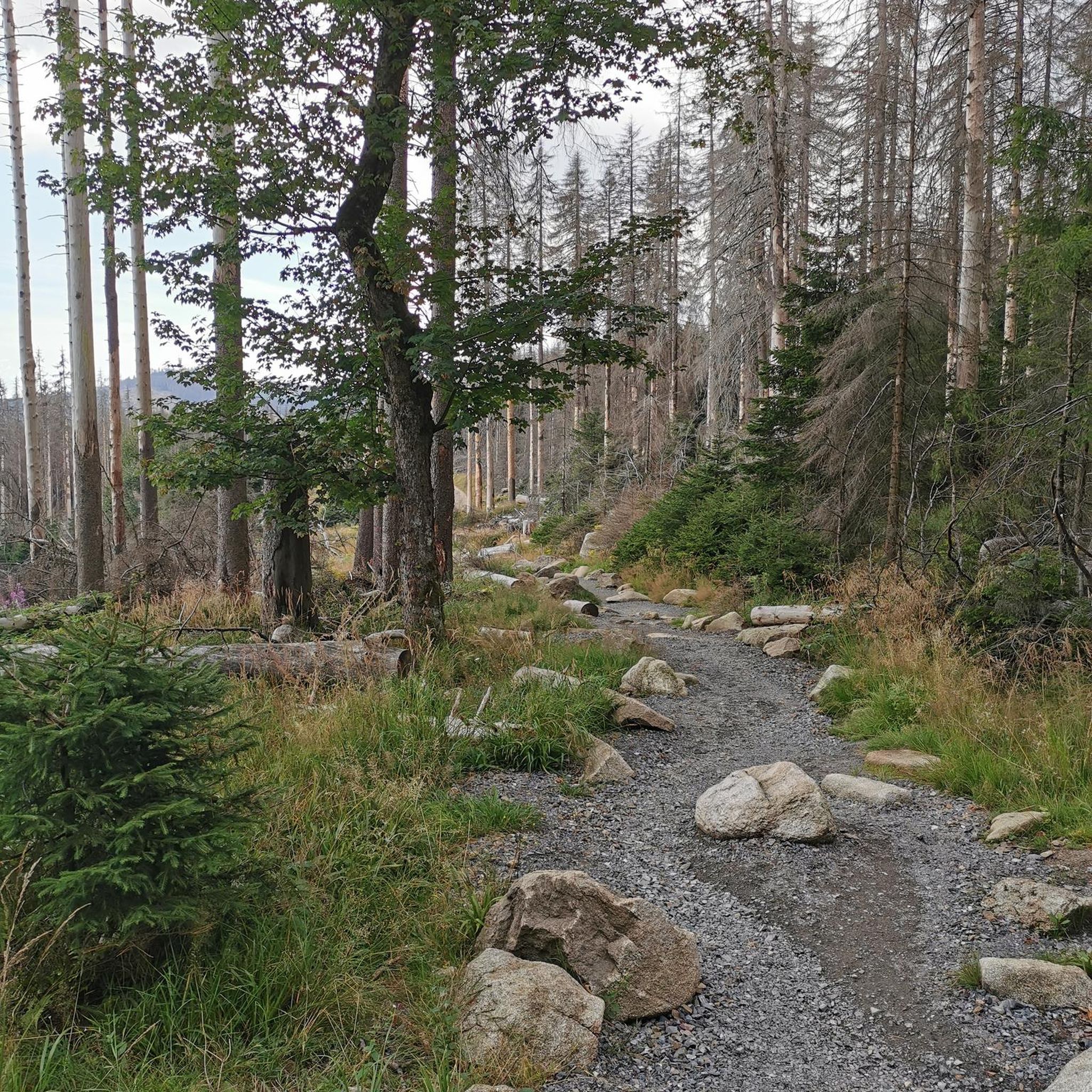
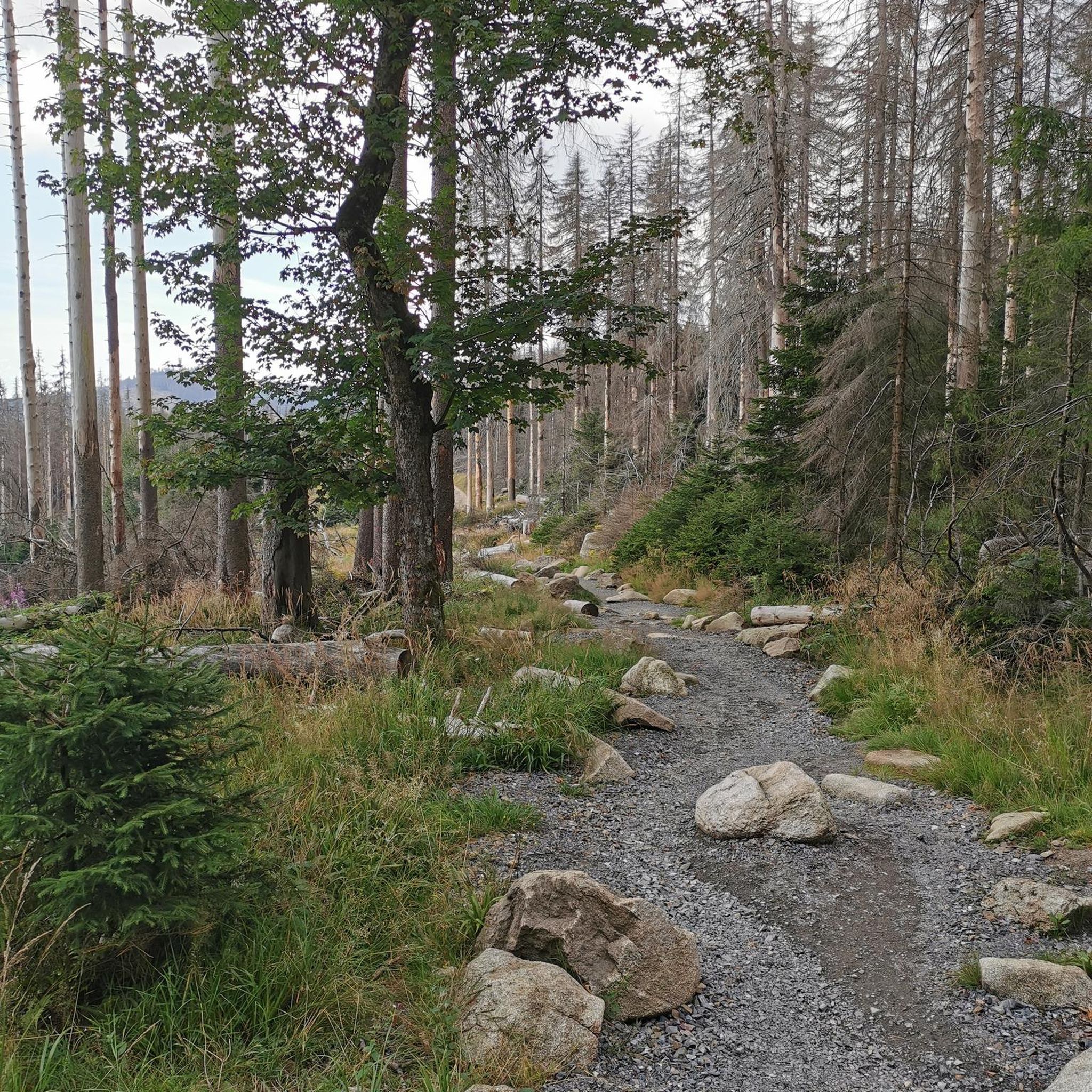
No traffic road cycling routes around Mellrichstadter Forst traverse a densely forested and unpopulated area within the Rhön-Grabfeld district of Bavaria, Germany. This region is part of the Rhön Biosphere Reserve, characterized by diverse landscapes that include both challenging ascents and more gentle stretches. The terrain features mostly paved surfaces, making it suitable for road cyclists seeking varied topography. The highest elevation within the Forst is the Heufurter Kopf, reaching 516 meters above sea level.
Best no traffic road cycling…
Last updated: July 11, 2026
5.0
(1)
10
riders
Moderate road ride. Good fitness required. Mostly well-paved surfaces and easy to ride.
13
riders
Moderate road ride. Good fitness required. Mostly well-paved surfaces and easy to ride.

Sign up for free
3.0
(2)
10
riders
Moderate road ride. Good fitness required. Mostly well-paved surfaces and easy to ride.
4.7
(6)
10
riders
Moderate road ride. Great for any fitness level. Some segments of this route may be unpaved and difficult to ride.
5.0
(3)
8
riders
30.0km
01:24
350m
350m
Moderate road ride. Good fitness required. Some segments of this route may be unpaved and difficult to ride.
Get access to more routes and recommendations from other explorers.
Sign up for free
Already have an account?
Our route recommendations are based on thousands of hikes, rides, and runs completed by other people on komoot.
Start today with a free account
Your next adventure awaits.
Login or Signup
Popular around Mellrichstadter Forst
Tips from the Community

The train station is privately owned. But lovingly restored!
0
0

The northernmost inn in Bavaria. Very good, traditional cuisine.
0
0
Always beautiful and full of memories...
0
0

...be sure to take some time for a break in Fladungen! There's a historic railway, a museum, and even a beer garden for a refreshing drink.
0
0

Tools and air pump for quick repairs and charging station for the e-bike
0
0

Please let’s not get carried away!
0
0
Timber framing is being restored and the first great renovations could be the beginning of a livable future in the countryside.
0
0
Frequently Asked Questions
How many no-traffic road cycling routes are available in Mellrichstadter Forst?
There are over 20 no-traffic road cycling routes in and around Mellrichstadter Forst, ranging from easy to difficult. Most routes are of moderate difficulty, offering a good balance for various fitness levels.
What kind of terrain can I expect on the no-traffic road cycling routes in Mellrichstadter Forst?
The routes in Mellrichstadter Forst offer diverse terrain, from the densely forested areas of the Forst itself to the varied landscapes of the Rhön Biosphere Reserve. You'll find mostly paved surfaces ideal for road cycling, with opportunities for both gentle stretches and climbs, such as towards the Heufurter Kopf at 516 meters above sea level.
Are there any family-friendly no-traffic road cycling routes in the area?
Yes, the region offers routes suitable for families. While specific family-friendly routes are not highlighted as 'easy' in the data, the presence of routes with moderate elevation gains and shorter distances, like the Historic centre of Fladungen – Fladungen–Heufurt Cycle Path loop from Fladungen (20.5 km), can be enjoyable for families looking for less strenuous rides.
What natural attractions can I see along the no-traffic road cycling routes?
The Mellrichstadter Forst is part of the Rhön Biosphere Reserve, offering access to unique natural features. You can explore highlights such as the Schwarzes Moor Nature Trail, a well-preserved raised bog with a boardwalk, or the Basalt Prism Wall at Gangolfsberg. The Silbersee (Silver Lake), a former basalt quarry, also offers a tranquil spot nearby.
Are there any viewpoints or scenic spots along the routes?
Absolutely. The region boasts several viewpoints and summits. You might encounter the Rother Kuppe Observation Tower or the Noah's Segel Observation Tower on the Ellenbogen, offering panoramic views of the Rhön landscape. The Hohe Geba Summit is also a notable point of interest.
What is the best time of year for no-traffic road cycling in Mellrichstadter Forst?
The spring, summer, and early autumn months generally offer the most pleasant conditions for road cycling in Mellrichstadter Forst. During these seasons, the weather is typically mild, and the forested landscapes are at their most vibrant, providing a beautiful backdrop for your rides.
Where can I find parking for these no-traffic road cycling routes?
While specific parking locations for each route are not detailed here, Mellrichstadter Forst and the surrounding towns like Mellrichstadt, Fladungen, or Ostheim vor der Rhön, being popular outdoor destinations, typically offer public parking facilities. It is advisable to check local parking options in your chosen starting town.
Can I access the no-traffic road cycling routes using public transport?
The Rhön region has some public transport options, though direct access to every starting point might vary. Towns like Mellrichstadt are usually better connected. For specific routes, such as the Fladungen–Heufurt Cycle Path – Fladungen Museum Railway loop from Helmershausen, you might find local bus services connecting to the starting points. It's recommended to check regional bus schedules for the most up-to-date information.
Are there any cafes or places to eat near the no-traffic road cycling routes?
Yes, the towns and villages surrounding Mellrichstadter Forst, such as Mellrichstadt, Fladungen, and Ostheim vor der Rhön, offer various cafes, restaurants, and pubs where you can refuel and relax. Routes like The local pub – Scenic Route Over Hohe Geba loop from Ostheim vor der Rhön are even named after local establishments, indicating opportunities for refreshment.
What do other road cyclists enjoy most about cycling in Mellrichstadter Forst?
The area is highly rated by the komoot community, with an average score of 4.7 out of 5 stars. Reviewers often praise the serene, traffic-free nature of the routes, the diverse and scenic landscapes of the Rhön Biosphere Reserve, and the well-maintained paved surfaces that make for an excellent road cycling experience.
Are there any longer, more challenging no-traffic road cycling routes for experienced riders?
Yes, for experienced riders seeking a challenge, there are routes with significant elevation gain. For example, The local pub – Scenic Route Over Hohe Geba loop from Ostheim vor der Rhön covers nearly 50 km with over 770 meters of elevation gain, offering a demanding yet rewarding experience through scenic landscapes.
Most popular routes around Mellrichstadter Forst
Most popular attractions around Mellrichstadter Forst

Get inspired with the komoot mobile app


Explore more
Browse the best Road cycling routes in other regions.
