The best traffic-free bike rides around Niederdürenbach
4.5
(184)
2,177
riders
2
rides
Niederdürenbach offers a variety of no traffic road cycling routes within the scenic Volcanic Eifel region and the Ahr valley. The landscape is characterized by rolling hills, volcanic formations, and river valleys, providing diverse terrain for road cyclists. Many routes utilize former railway lines, ensuring gentle gradients and minimal exposure to vehicle traffic. This area is ideal for exploring the natural and historical features of the Brohltal and surrounding Eifel.
Best no traffic road cycling routes around Niederdürenbach
- The most popular no traffic road cycling route is Hansen Tunnel – Hausen-1 Tunnel loop from Bell, a 25.5 miles (41.1 km) trail that takes 1 hour 58 minutes to complete. This moderate route features significant elevation changes through the Eifel landscape.
- Another top favourite among local road cyclists is West Gate, Heimersheim loop from Coca-Cola European Partners Deutschland GmbH, a moderate 16.3 miles (26.3 km) path. This route offers varied terrain and views of the Ahr valley.
- Local road cyclists also love the Oberzissen Railway Viaduct – View of Burg Olbrück loop from Weibern, a 11.9 miles (19.1 km) trail leading through the Brohltal, often completed in about 1 hour 15 minutes.
- Road cycling around Niederdürenbach is defined by volcanic landscapes, river valleys, and routes along former railway lines. The network offers options for different ability levels, from easy paths to more challenging moderate climbs.
- The routes in Niederdürenbach are highly rated by the komoot community with an average score of 4.4 stars from over 170 reviews. More than 2,200 road cyclists have used komoot to explore Niederdürenbach's varied terrain.
Last updated: July 24, 2026
10
riders
Moderate road ride. Good fitness required. Some segments of this route may be unpaved and difficult to ride.
7
riders
Moderate road ride. Great for any fitness level. Some segments of this route may be unpaved and difficult to ride.

Sign up for free
3
riders
13.2km
00:47
260m
260m
Easy road ride. Great for any fitness level. Mostly well-paved surfaces and easy to ride.
Our route recommendations are based on thousands of hikes, rides, and runs completed by other people on komoot.
Start today with a free account
Your next adventure awaits.
Login or Signup
Popular around Niederdürenbach
Tips from the Community

A temporary bridge that is also used for the Ahr riverside lights.
4
1

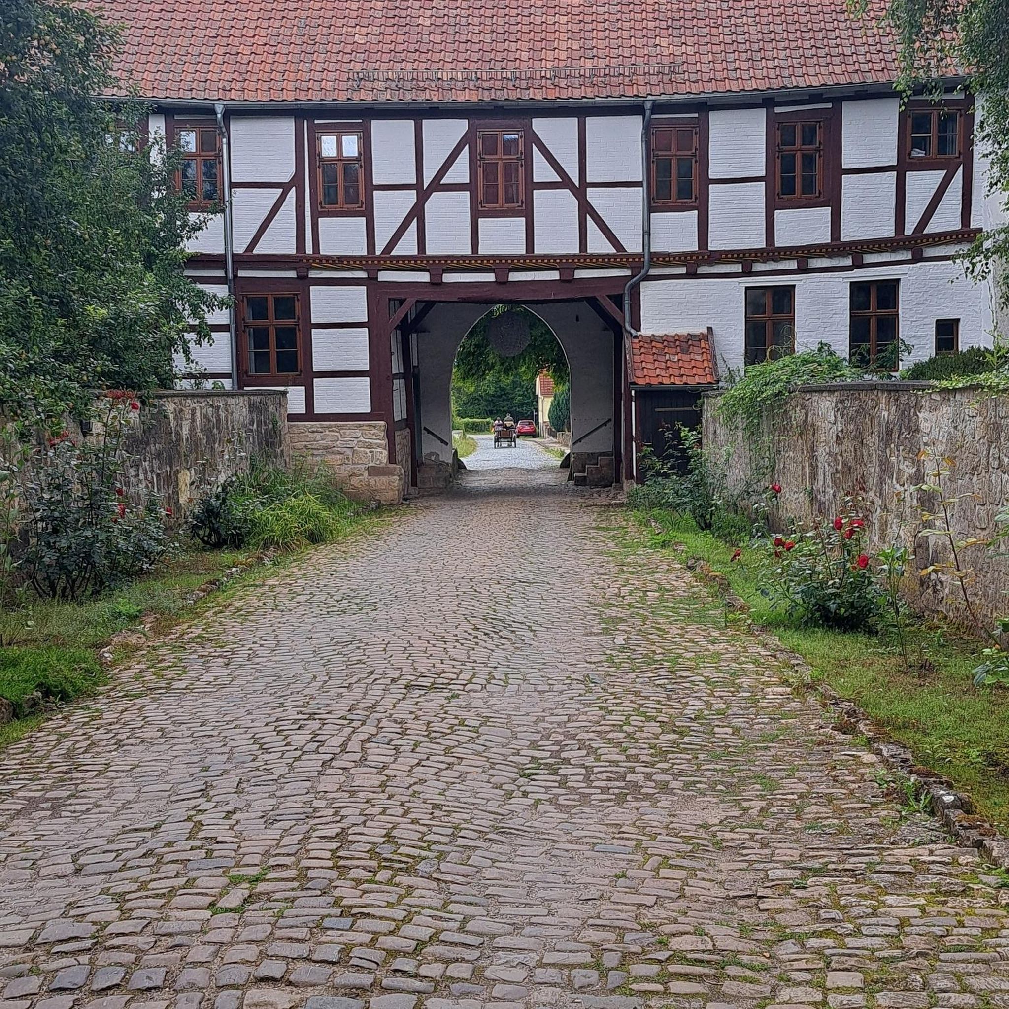
The West Gate at Johannisstraße 44 represents one of a total of four bakehouses that once existed in Heimersheim, each connected to the four city gates. After World War II, two of these bakehouses were demolished, but the West Gate and its bakery were rebuilt. This demonstrates not only the historical significance of the building but also the efforts to preserve cultural memories.
10
0
The Catholic parish church of St. Mauritius in Heimersheim is a late Romanesque gallery basilica from the 13th century.
10
0

I really hope that the cleanup work and the new proper bridges will be finished soon.
1
0

During the riverside lights, the temporary bridge becomes a dream bridge. Really beautifully done.
5
0

Beautiful old town center
2
0

This cemetery has a water source.
0
0

... and suddenly there was no bike path left. Even after almost two and a half years after the events on the Ahr in the summer of 2021, it is all still unbelievable.
0
0
Frequently Asked Questions
How many no-traffic road cycling routes are available around Niederdürenbach?
There are currently 4 no-traffic road cycling routes available around Niederdürenbach, offering a variety of experiences for road cyclists seeking quiet paths. These include 1 easy route and 3 moderate routes.
What kind of terrain can I expect on these no-traffic road cycling routes?
The no-traffic road cycling routes around Niederdürenbach offer a diverse terrain. You'll find picturesque rides through the scenic Ahr valley, known for its vineyards, as well as routes traversing the rolling hills and unique volcanic landscapes of the Eifel region. Many routes utilize old railway lines, providing gentle gradients and smooth surfaces, perfect for road biking away from traffic.
Are there any easy, family-friendly no-traffic road cycling routes near Niederdürenbach?
Yes, there is an easy no-traffic road cycling route suitable for a more relaxed pace. The Old Crane Weibern loop from Weibern is a great option, covering about 13 km with manageable elevation, making it ideal for families or those looking for a less strenuous ride.
What notable landmarks or viewpoints can I see along these quiet road cycling routes?
You can discover several interesting landmarks and natural features. Routes often pass by historical sites like Burg Olbrück. Natural highlights include the dramatic Waterfall in the Wolfsschlucht and the unique geological formations of the Volcanic Eifel, such as maars and volcanic cones. The region also features impressive basalt lava columns at Mauerley, offering scenic views.
Can I see any waterfalls on these traffic-free routes?
Yes, the area around Niederdürenbach is home to the impressive Waterfall in the Wolfsschlucht. This 6-meter-high waterfall, carved by the Tönissteiner Bach, is a dramatic natural sight that can be explored in conjunction with nearby cycling routes.
Where can I find parking for these quiet road cycling routes in Niederdürenbach?
While specific parking spots for each route vary, Niederdürenbach and surrounding towns like Weibern and Bell, which are starting points for some routes, typically offer public parking options. Look for designated parking areas near the start of the routes or in the town centers.
Is it possible to reach the starting points of these routes using public transport with my bike?
Public transport options are available, and the region is served by the Vulkan-Express, a narrow-gauge railway that traverses the scenic Brohl Valley. This railway often allows bikes, providing a unique way to access different parts of the valley and connect to cycling routes. It's advisable to check their current bike transport policies and schedules in advance.
Are there circular no-traffic road cycling routes available?
Yes, several routes are designed as loops, allowing you to start and end in the same location. For example, the Hansen Tunnel – Hausen-1 Tunnel loop from Bell and the West Gate, Heimersheim loop from Coca-Cola European Partners Deutschland GmbH are excellent circular options for traffic-free road cycling.
What is the surface quality like on these traffic-free road bike paths?
Many of the traffic-free road cycling routes in the Niederdürenbach area, especially those on former railway lines like parts of the Brohltalradweg, are well-paved and offer smooth surfaces suitable for road bikes. These paths are designed for comfortable cycling with gentle gradients, ensuring an enjoyable ride.
What do other road cyclists enjoy most about road cycling in Niederdürenbach?
The komoot community highly rates the road cycling experience in Niederdürenbach, with an average score of 4.4 stars. Cyclists often praise the region for its quiet, traffic-free paths, the beautiful volcanic landscapes of the Eifel, and the scenic rides through the Ahr valley's vineyards. The variety of routes, from easy to moderate, also contributes to its popularity.
Are there places to stop for refreshments or accommodation along these routes?
Yes, the towns and villages along the routes, particularly in the Ahr Valley and Brohltal, offer various cafes, pubs, and restaurants where you can stop for refreshments. You'll also find accommodation options ranging from guesthouses to hotels, making it easy to plan multi-day trips or simply enjoy a break during your ride.
What is the best time of year for no-traffic road cycling in the Niederdürenbach area?
The changing seasons bring different visual delights to the Niederdürenbach area. Spring and summer offer lush greenery and vineyards in full bloom, while autumn transforms the landscape with golden hues, making it a particularly picturesque time to cycle. The weather is generally mildest from spring through early autumn, providing ideal conditions for road cycling.
Most popular routes around Niederdürenbach
Most popular attractions around Niederdürenbach

Get inspired with the komoot mobile app


Explore more
Browse the best Road cycling routes in other regions.
