The best traffic-free bike rides around Fuchsmühl
4.4
(162)
2,483
riders
34
rides
Road cycling around Fuchsmühl offers diverse terrain within the Upper Palatinate Forest, bordering the Steinwald Nature Park and the Fichtel Mountains. The region features a mix of moderate to challenging routes, characterized by varied elevations and mostly paved surfaces suitable for road bikes. Cyclists can navigate through extensive forests, past rock formations, and across valleys, with routes providing elevation gains from around 180m to over 900m. This landscape provides a versatile cycling experience for different fitness levels.
Best no traffic…
Last updated: July 24, 2026
27
riders
28.8km
01:34
220m
220m
Moderate road ride. Great for any fitness level. Some segments of this route may be unpaved and difficult to ride.
5.0
(4)
24
riders
29.0km
01:20
240m
240m
Moderate road ride. Great for any fitness level. Some segments of this route may be unpaved and difficult to ride.

Sign up for free
21
riders
41.1km
01:54
380m
380m
Moderate road ride. Good fitness required. Some segments of this route may be unpaved and difficult to ride.
5.0
(1)
17
riders
42.3km
02:12
590m
590m
Moderate road ride. Good fitness required. Some segments of this route may be unpaved and difficult to ride.
4.0
(1)
8
riders
53.4km
03:04
950m
950m
Hard road ride. Very good fitness required. Some segments of this route may be unpaved and difficult to ride.
Get access to more routes and recommendations from other explorers.
Sign up for free
Already have an account?
Our route recommendations are based on thousands of hikes, rides, and runs completed by other people on komoot.
Start today with a free account
Your next adventure awaits.
Login or Signup
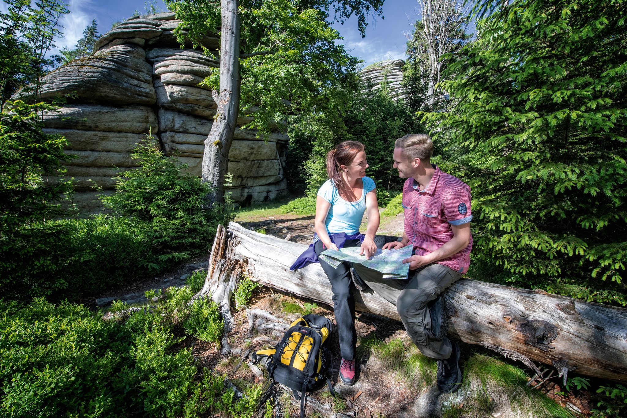

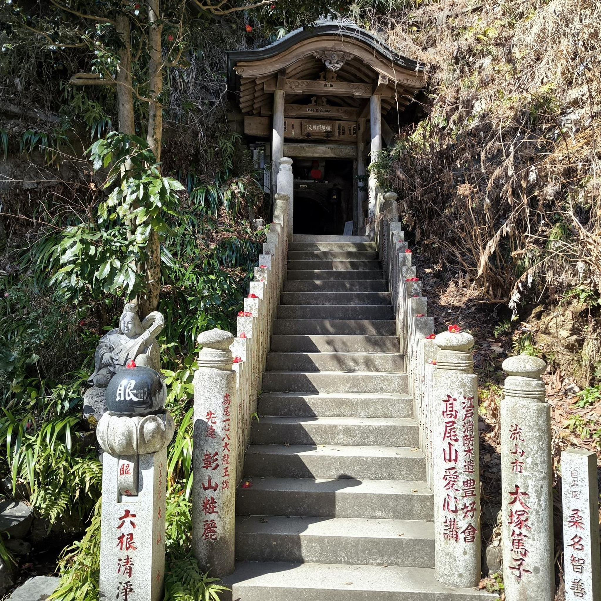
Other adventures around Fuchsmühl

Tips from the Community


The chapel was locked when we were there, but you can see inside very well through a small window.
1
0

The Dörflaser Brücke in Marktredwitz is a place that appears unassuming at first glance – yet it carries a special geographical significance: it lies exactly on the 50th parallel, an imaginary line that circles the globe and connects places like Prague, Frankfurt, and Vancouver. The fact that this parallel has been made visible right here lends the bridge a quiet symbolic value. A distinctive stone with an inscription points to its location on the 50th parallel – a detail that appeals equally to strollers, hikers, and geography enthusiasts. It makes clear: even in a small town like Marktredwitz, global lines and local paths intersect. The bridge itself spans the Kössein, nestled in a green environment that invites you to linger and reflect. The Dörflaser Brücke is not just a crossing over water, but also a transition between nature and knowledge. It connects the districts, brings hiking trails together, and offers a quiet place to pause. Its proximity to the town's hiking trail and the Winkelmühle makes it a popular stopover for walks with depth. The Dörflaser Brücke on the 50th parallel is a small monument to earthly connection. It shows how global coordinates are inscribed in local landscapes – and how, when crossing a bridge, you suddenly find yourself standing on a world line. The photos show the bridge in its natural surroundings, the marked parallel stone, and the peaceful atmosphere by the water. A place for explorers, strollers, and anyone who wants to experience geography in a very concrete way. https://www.marktredwitz.de/freizeit-und-tourismus/sehenswuerdigkeiten
3
0

This castle is quite impressive, but unfortunately it can only be seen from the outside.
2
0

Very good restaurant, delicious food, great cakes and reasonable prices.
2
0
Interesting that the latitude runs exactly at this point.
1
1
The Gloser Zoigl tastes very delicious.
1
0
Frequently Asked Questions
How many no-traffic road cycling routes are available around Fuchsmühl?
There are over 35 dedicated no-traffic road cycling routes around Fuchsmühl, offering a variety of distances and elevations. Most of these, 28 to be exact, are classified as moderate, with a few easier and more challenging options available.
What kind of terrain can I expect on Fuchsmühl's no-traffic road cycling routes?
The routes around Fuchsmühl, nestled between the Steinwald Nature Park and the Fichtel Mountains, feature varied terrain. You'll find a mix of rolling hills and more significant climbs, with elevation gains ranging from around 180m to over 900m on some routes. The surfaces are predominantly paved, making them ideal for road cycling.
Are there any easy no-traffic road cycling routes suitable for beginners or families?
Yes, Fuchsmühl offers 3 easy no-traffic road cycling routes. While specific family-friendly routes are not detailed, the region's well-developed cycling paths and moderate terrain on many routes can be suitable for those seeking a less strenuous ride. Look for routes with lower elevation gains for a more relaxed experience.
What are some of the longer or more challenging no-traffic road cycling routes in the area?
For experienced cyclists seeking a challenge, there are 4 difficult no-traffic routes. One notable option is the Friedenfels Castle Brewery – View of Mühlberg loop from Friedenfels, which covers nearly 55 km with over 900 meters of elevation gain, offering a demanding ride through the scenic landscape.
What attractions or points of interest can I see along the no-traffic road cycling routes?
Many routes pass by or near interesting landmarks and natural features. You can cycle past historic sites like Reuth Castle or Waldershof Castle, or enjoy natural beauty at the Waterwheel in the Waldnaab Valley, Mühlnickl Pond, or the Wiesau Forest Lakes. The region is also known for its 'Land of 1,000 Ponds'.
Are there any circular no-traffic road cycling routes available?
Yes, many of the no-traffic road cycling routes around Fuchsmühl are designed as loops, allowing you to start and end at the same point. Examples include the Waldershof Castle – Waldershof City Park loop from Waldershof and the Reuth Castle – View of Reuth Castle loop from Friedenfels, providing convenient circular tours.
What do other road cyclists say about the no-traffic routes in Fuchsmühl?
The no-traffic road cycling routes in Fuchsmühl are highly regarded by the komoot community, with an average rating of 4.38 stars from over 130 reviews. Cyclists frequently praise the quiet, well-maintained roads, the diverse scenery of the Upper Palatinate Forest and Steinwald Nature Park, and the rewarding climbs with panoramic views.
Can I find routes that include castles or historic sites?
Absolutely. Several routes incorporate historical landmarks. For instance, the View of Reuth Castle – Reuth Castle loop from Wiesau (Oberpf) offers views of the castle, while the Friedenfels Castle Brewery – Friedenfels Lake Rest Area loop from Reuth (b Erbendorf) takes you past the historic Friedenfels Castle Brewery.
Are there any routes that pass by lakes or water features?
Yes, the region is rich in water features. You can find routes that lead to or pass by the Mühlnickl Pond, Kipp Lake, and the Wiesau Forest Lakes. The area is even known as the 'Land of 1,000 Ponds', offering many opportunities to enjoy waterside scenery.
What is the typical distance and elevation gain for a moderate no-traffic road cycling route in Fuchsmühl?
Moderate routes in Fuchsmühl typically range from 25 to 45 kilometers in distance, with elevation gains between 200 and 600 meters. For example, the Waldershof Castle – Waldershof City Park loop from Waldershof is a moderate 28.7 km route with about 219m of elevation gain.
Is there parking available near the starting points of these routes?
While specific parking locations for each route are not detailed here, Fuchsmühl and the surrounding towns in the Upper Palatinate Forest generally offer parking facilities. It's advisable to check local maps or komoot route details for designated parking areas near your chosen starting point.
Most popular attractions around Fuchsmühl

Get inspired with the komoot mobile app


Explore more
Browse the best Road cycling routes in other regions.
