The best traffic-free bike rides around Niederschönenfeld
4.6
(54)
269
riders
35
rides
Gravel biking around Niederschönenfeld offers diverse terrain within Bavaria's Danube valley. The region is characterized by extensive gravel and unpaved paths along the Danube River, particularly near Riedlinger See. Beyond the river, the landscape features rolling hills, dense forests, and wide fields, providing varied ascents, descents, and flat sections. Proximity to the Altmühltal Nature Park further expands the network of suitable paths for gravel biking.
Best no traffic gravel bike trails around Niederschönenfeld
- The most popular no traffic gravel bike…
Last updated: July 24, 2026
4.7
(7)
49
riders
Hard gravel ride. Good fitness required. You may need to push your bike for some segments of this route.
4.8
(4)
24
riders
62.8km
03:49
120m
120m
Moderate gravel ride. Good fitness required. Mostly paved surfaces. Suitable for all skill levels.

Sign up for free
4.8
(12)
51
riders
Moderate gravel ride. Good fitness required. Mostly paved surfaces. Suitable for all skill levels.
3.0
(1)
13
riders
34.2km
02:18
60m
60m
Moderate gravel ride. Good fitness required. Mostly paved surfaces. Suitable for all skill levels.
4.4
(10)
33
riders
Moderate gravel ride. Good fitness required. Mostly paved surfaces. Suitable for all skill levels.
Get access to more routes and recommendations from other explorers.
Sign up for free
Already have an account?
Our route recommendations are based on thousands of hikes, rides, and runs completed by other people on komoot.
Start today with a free account
Your next adventure awaits.
Login or Signup
Popular around Niederschönenfeld
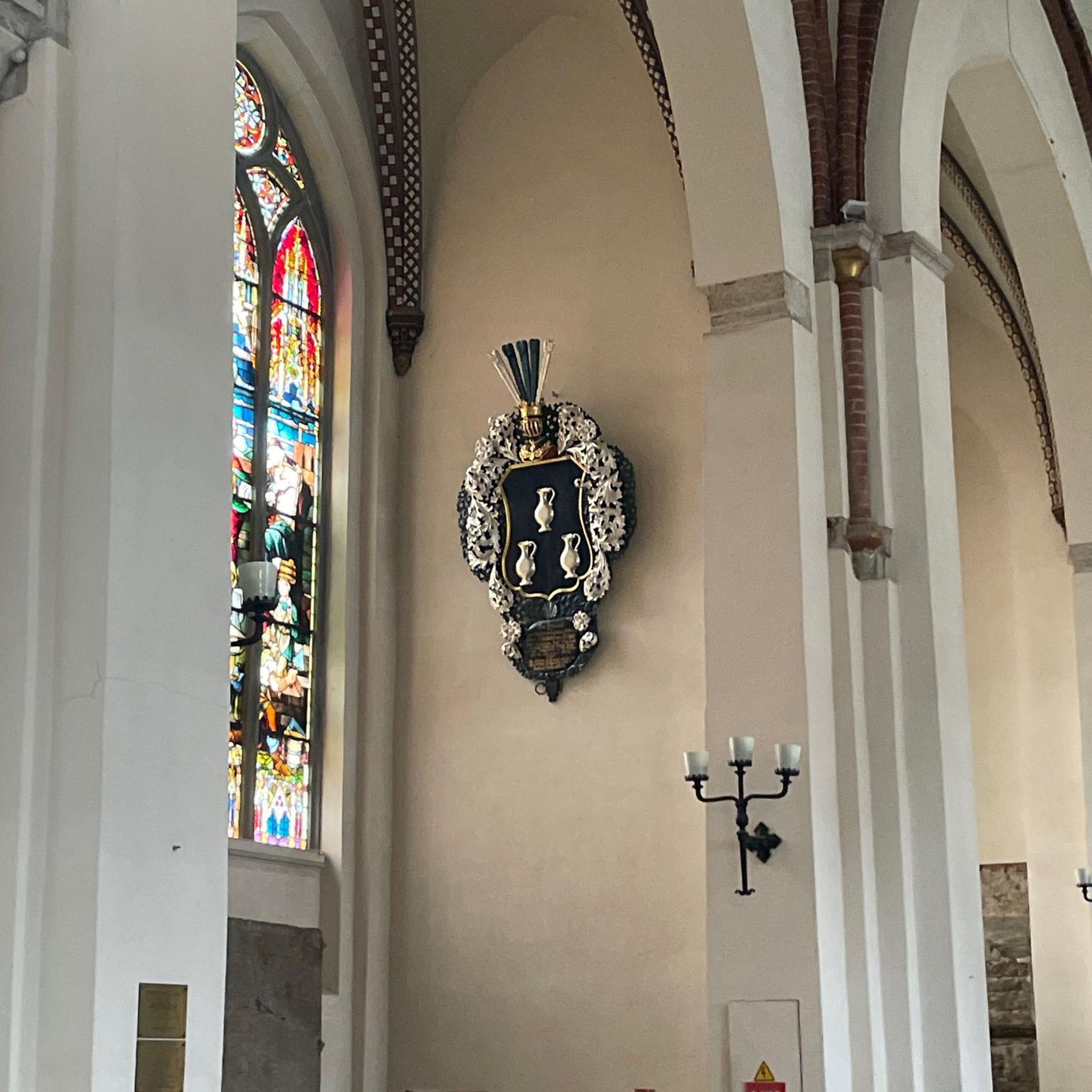
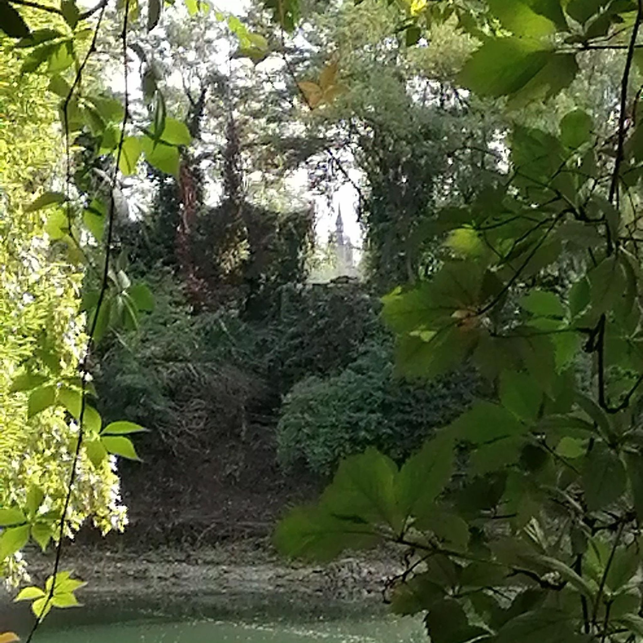
Tips from the Community

Danube Reservoir
0
0

Depending on the water flow in the Lech, north of the weir in Gersthofen, the "river" is only fed by the water flowing through the fish ladder, with the water being primarily diverted into the Lech canal.😒
0
0

Very good trip, the Danube is really beautiful!
0
0

NEUBURG PLACE SIGN next to the mega photo point of Neuburg
2
0

The Lech is a right tributary of the Danube. The 256 km long river originates in Vorarlberg in the Hochtannberg region at the confluence of the Spullerbach and Formarinbach streams in the Tannläger valley. It flows through Tyrol and southern Bavaria, where it empties into the Danube. Shortly before the Austrian-German border, it joins the Vils river, forms the artificial Lechfall near Füssen, and crosses Swabia and Upper Bavaria on its way. The largest cities on the Lech are Landsberg and Augsburg; in this city, it receives its largest tributary, the Wertach. The river empties into the Danube near Marxheim. Source: Wikipedia
1
0
The Lech is a right tributary of the Danube. The 256 km long river originates in Vorarlberg in the Hochtannberg region at the confluence of the Spullerbach and Formarinbach streams in the Tannläger valley. It flows through Tyrol and southern Bavaria, where it empties into the Danube. Shortly before the Austrian-German border, it joins the Vils river, forms the artificial Lechfall near Füssen, and crosses Swabia and Upper Bavaria on its way. The largest cities on the Lech are Landsberg and Augsburg; in this city, it receives its largest tributary, the Wertach. The river empties into the Danube near Marxheim. Source: Wikipedia
1
0
The Lech is a right tributary of the Danube. The 256 km long river originates in Vorarlberg in the Hochtannberg region at the confluence of the Spullerbach and Formarinbach streams in the Tannläger valley. It flows through Tyrol and southern Bavaria, where it empties into the Danube. Shortly before the Austrian-German border, it joins the Vils river, forms the artificial Lechfall near Füssen, and crosses Swabia and Upper Bavaria on its way. The largest cities on the Lech are Landsberg and Augsburg; in this city, it receives its largest tributary, the Wertach. The river empties into the Danube near Marxheim. Source: Wikipedia
1
0

This impressive palace complex is well worth a visit. Immediately to the left of the entrance is a beautiful chapel. The ceiling there is impressive. The palace courtyard is also magnificent. From the Court Garden, you can enjoy a view of the lower Old Town. If you have time, you can visit the museum.
9
0
Frequently Asked Questions
How many traffic-free gravel bike trails are available around Niederschönenfeld?
There are over 35 dedicated traffic-free gravel bike trails around Niederschönenfeld, offering a wide range of distances and difficulty levels. These routes are specifically curated to provide a peaceful and car-free cycling experience through the region's diverse landscapes.
What kind of terrain can I expect on the traffic-free gravel trails in Niederschönenfeld?
The terrain around Niederschönenfeld is ideal for gravel biking, featuring a mix of surfaces. You'll find extensive gravel and unpaved paths along the Danube River, as well as routes through rolling hills, dense forests, and wide-open fields. This variety ensures both challenging sections and tranquil stretches, perfect for a no-traffic experience.
Are there options for beginners looking for traffic-free gravel routes?
Yes, Niederschönenfeld offers several easy traffic-free gravel routes suitable for beginners. These trails typically feature gentler gradients and well-maintained surfaces, allowing new gravel bikers to enjoy the scenic beauty without significant technical challenges. There are 4 easy routes available in this guide.
What natural attractions can I discover along the traffic-free gravel bike trails?
Many traffic-free gravel routes in the area pass by beautiful natural features. You can explore highlights like the Confluence of the Wörnitz and Danube or the Lech estuary on the Danube near Marxheim. The trails often follow the Danube, offering picturesque river views and access to serene natural monuments.
Are there any historical landmarks or points of interest accessible from these routes?
Absolutely. While enjoying the traffic-free gravel trails, you might encounter historical sites such as the Graisbach Castle Ruins. The region also features unique geological formations like the Mauerner Caves (Weinberg Caves), which can be explored as part of your biking adventure.
What do other gravel bikers enjoy the most about gravel biking in Niederschönenfeld?
The area is highly rated by the komoot community, with an average score of 4.6 stars. Reviewers often praise the extensive network of quiet, car-free paths along the Danube, the diverse landscapes of forests and fields, and the overall peaceful atmosphere that makes for an excellent gravel biking experience.
Are there any long-distance traffic-free gravel routes available?
Yes, some routes offer significant distances for those looking for longer adventures. For example, the "Thierhaupten Bird Sanctuary – Lech River in Gersthofen loop from Rain" is nearly 72 km long, providing an extensive traffic-free journey through varied landscapes.
Can I find circular traffic-free gravel routes around Niederschönenfeld?
Many of the traffic-free gravel routes in Niederschönenfeld are designed as circular tours, allowing you to start and end at the same point without retracing your steps. An example is the "Dillingen town gate – Danube Riverside Path loop from Donauwörth", which offers a substantial loop along the Danube.
What is the best time of year for traffic-free gravel biking in Niederschönenfeld?
Spring and autumn are generally considered the best times for gravel biking in Niederschönenfeld. The weather is typically mild, and the natural scenery is particularly vibrant with blooming flowers or colorful foliage. Summer can also be pleasant, especially on shaded forest paths, while winter might offer unique snowy landscapes, though some paths could be less accessible.
Are there any routes that offer views of the Danube River?
Absolutely. Niederschönenfeld is situated directly on the Danube, and many traffic-free gravel paths run along the river. Routes like the "Old Town, Neuburg an der Donau – View of Neuburg an der Donau loop from Rain" offer magnificent views of the Danube and its surrounding countryside, often on unpaved or semi-paved sections perfect for gravel bikes.
Are there any moderate difficulty traffic-free gravel routes for experienced riders?
Yes, the majority of the traffic-free gravel routes in Niederschönenfeld are rated as moderate difficulty, making them suitable for experienced riders looking for a good challenge. These routes often include longer distances and more varied terrain, such as the "Mähdigraben – Thierhaupten Bird Sanctuary loop from Genderkingen" which offers a rewarding ride.
Most popular routes around Niederschönenfeld
Most popular attractions around Niederschönenfeld

Get inspired with the komoot mobile app


Explore more
Browse the best Gravel rides in other regions.
