The best traffic-free bike rides around Gachenbach
4.6
(7)
28
riders
22
rides
Gachenbach gravel bike trails no traffic lead through the diverse landscapes of the Westerwald region, offering varied terrain for cyclists. The area is characterized by dense forests, rolling hills, and picturesque valleys, providing a mix of surfaces from forest paths to country roads. Gravel routes often follow the scenic Gelbach Valley and wind through charming villages. This region provides an ideal setting for gravel biking, combining elements of both road and mountain biking.
Best no traffic gravel bike trails around Gachenbach
- The most popular no traffic gravel bike trail is Zeitlbach Valley – Path of Reflection loop from Altomünster, a 10.4 miles (16.7 km) trail that takes 1 hour 6 minutes to complete. This easy route offers a reflective journey through the valley.
- Another top favourite among local gravel bikers is Hohenwart Town Gate – Paved cycle path (Waidhofen) loop from Schrobenhausen, a moderate 27.5 miles (44.3 km) path. This route features a paved cycle path and passes by the historic Hohenwart Town Gate.
- Local gravel bikers also love the Bench With Panoramic View – Weilach Stream loop from Schrobenhausen, a 21.6 miles (34.7 km) trail leading through the Weilach Stream valley, often completed in about 2 hours 10 minutes.
- Gravel biking around Gachenbach is defined by dense forests, rolling hills, and scenic valleys. The network offers options for different ability levels, from easy loops to more challenging moderate routes.
- The routes in Gachenbach are highly rated by the komoot community with an average score of 4.6 stars from over 7 reviews. More than 30 gravel bikers have used komoot to explore Gachenbach's varied terrain.
Last updated: May 15, 2026
5.0
(1)
5
riders
16.7km
01:06
140m
140m
Easy gravel ride. Great for any fitness level. Mostly paved surfaces. Suitable for all skill levels.
6
riders
Moderate gravel ride. Good fitness required. Mostly paved surfaces. Suitable for all skill levels.

Sign up for free
4.0
(2)
4
riders
34.4km
02:08
320m
320m
Moderate gravel ride. Good fitness required. Mostly paved surfaces. Suitable for all skill levels.
2
riders
34.6km
02:12
260m
260m
Moderate gravel ride. Good fitness required. Mostly paved surfaces. Suitable for all skill levels.
9
riders
27.2km
01:23
80m
80m
Easy gravel ride. Great for any fitness level. Mostly paved surfaces. Suitable for all skill levels.
Get access to more routes and recommendations from other explorers.
Sign up for free
Already have an account?
Our route recommendations are based on thousands of hikes, rides, and runs completed by other people on komoot.
Start today with a free account
Your next adventure awaits.
Login or Signup
Popular around Gachenbach
Tips from the Community

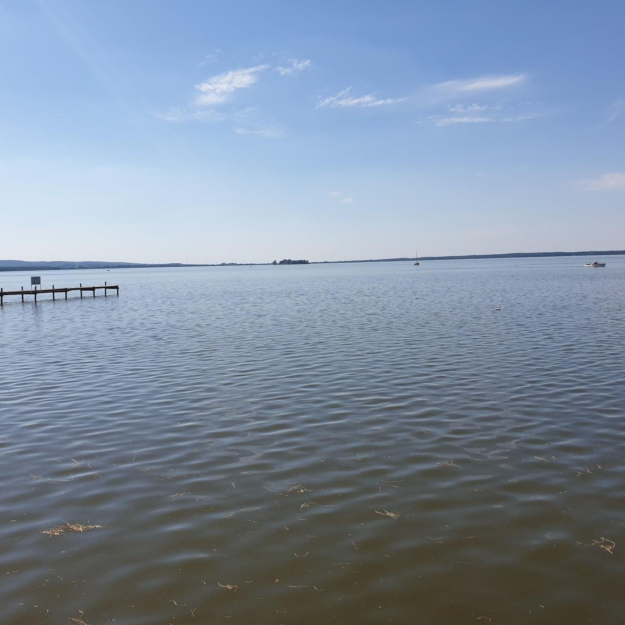
Perfect short destination No half measures, swimming or relaxing
0
0

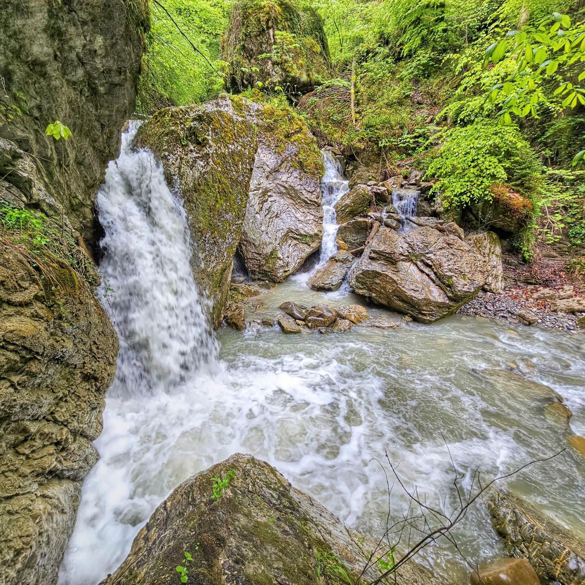
Restoration measures along the Schreiberbach stream
0
0
The Goachat lies between Schrobenhausen and Hörzhausen and is an important ecosystem. The name comes from the Bavarian word "Oacha," meaning oak.
0
0

According to ancient tradition, the Aresingen church of St. Martin stood in the earliest times up in Bauerngasse, in the orchard of the "Redl," opposite the ducal chamber and landowner's farm. Historically, this seems entirely possible, even probable. For the entire great and small tithes of Bauerngasse, with the exception of the ducal fiefdoms, had always belonged to St. Martin. Down by the Weilach River, the castle of the Aresingen knights also stood at that time, and the Sunderhamers had their own village chapel, dedicated to St. Ulrich, since the 11th century. By 1300, however, the parish church had already moved down to its present location, on the old, well-fortified castle hill. Since the tower still visibly indicates Romanesque architecture, which dates back to approximately 1000 to 1250 AD, the construction of the church can also be dated to this period. The parish was large, and the pastor had to maintain an assistant priest, a "Gsell." Daughter churches were located in Rettenbach, Weilenbach, Autenzell, and St. Peter in Sattelberg. The Augsburg Cathedral Chapter had the right of presentation. Source: Information board at the site
1
0

Beautifully located café with excellent food (great breakfast). Relaxed and restful atmosphere.
0
0
Great coffee in nature with attached gardening
0
0
Frequently Asked Questions
How many no-traffic gravel bike trails are available around Gachenbach?
There are currently 22 curated no-traffic gravel bike trails around Gachenbach, offering a variety of experiences for different skill levels. You'll find 3 easy routes, 12 moderate, and 7 more challenging options.
What kind of terrain can I expect on gravel bike trails near Gachenbach?
The trails around Gachenbach offer a mix of terrain, from paved cycle paths to unpaved forest roads and natural paths. While the region is known for its diverse landscapes, including rolling hills and picturesque valleys, the 'no traffic' focus means you'll primarily encounter quiet, scenic routes away from busy roads.
Are there any easy, family-friendly no-traffic gravel routes in Gachenbach?
Yes, there are several easy routes suitable for families. One great option is the Zeitlbach Valley – Path of Reflection loop from Altomünster, which is just under 17 km long with minimal elevation gain, making it perfect for a relaxed ride.
What do other gravel bikers enjoy most about the no-traffic trails in Gachenbach?
The komoot community highly rates the no-traffic gravel trails around Gachenbach, with an average score of 4.56 stars. Riders often praise the tranquility of the routes, the beautiful natural scenery, and the opportunity to explore the region away from vehicle noise.
Are there any circular no-traffic gravel bike routes around Gachenbach?
Many of the no-traffic gravel bike routes in the Gachenbach area are circular, allowing you to start and end at the same point. For example, the Hohenwart Town Gate – Paved cycle path (Waidhofen) loop from Schrobenhausen offers a longer, moderate circular ride, while the Lake Radersdorf – Radersdorf Bathing Lake loop from Walchshofen is an easier, shorter circular option.
What are some scenic viewpoints or natural attractions along the no-traffic gravel trails?
While riding the no-traffic gravel trails, you can discover several natural attractions. Keep an eye out for highlights like the Silberbrünnel Spring or the ancient Ancient Burial Mounds. Many routes also offer beautiful views over valleys and through forests, especially during autumn.
Are there any places to stop for a break or a meal along the routes?
Yes, the region around Gachenbach features cozy villages that often have cafes or pubs. Additionally, you might encounter huts along some routes, such as the Edelweißhütte or the Grubethaus with educational apiary, which can be great spots for a rest and refreshment.
What is the best time of year for gravel biking in Gachenbach?
Gravel biking in Gachenbach is enjoyable throughout much of the year. The region is particularly beautiful in autumn when the foliage changes color, offering stunning views. Spring and summer also provide pleasant conditions, while winter can be an option depending on snow and ice conditions on the trails.
Can I find routes that pass by lakes or water bodies?
Yes, some routes will take you near water bodies. For instance, the Lake Radersdorf – Radersdorf Bathing Lake loop from Walchshofen specifically features a lake, offering a refreshing view and a potential spot for a break.
Are there any routes that offer panoramic views?
Absolutely. The varied terrain of the Westerwald region, where Gachenbach is located, means many routes lead through forests and up to viewpoints. The Bench With Panoramic View – Weilach Stream loop from Schrobenhausen is a moderate route that explicitly highlights a panoramic view, providing a rewarding experience.
Where can I find parking for these no-traffic gravel bike trails?
Many of the routes start from towns or villages like Altomünster, Schrobenhausen, or Walchshofen, where public parking is generally available. It's advisable to check the specific tour details on komoot for recommended starting points and parking information for each route.
Most popular attractions around Gachenbach

Get inspired with the komoot mobile app


Explore more
Browse the best Gravel rides in other regions.
