Bernried am Starnberger See
Bernried am Starnberger See
The best traffic-free bike rides around Bernried am Starnberger See
4.7
(18)
336
riders
13
rides
No traffic road cycling routes around Bernried am Starnberger See navigate a landscape shaped by the last ice age, featuring the expansive Lake Starnberg and the distant silhouettes of the Bavarian Alps. The region is characterized by rolling hills, numerous small lakes, and significant moor areas, offering diverse terrain for road cyclists. Paved paths wind through idyllic villages, expansive parks like Bernrieder Park, and protected natural landscapes, providing varied cycling experiences.
Best no traffic road cycling routes around Bernried am…
Last updated: September 30, 2026
5.0
(1)
32
riders
22.3km
01:03
230m
230m
Easy road ride. Great for any fitness level. Mostly well-paved surfaces and easy to ride.
4.0
(2)
19
riders
65.0km
02:53
490m
490m
Moderate road ride. Good fitness required. Mostly well-paved surfaces and easy to ride.

15
riders
62.5km
02:49
620m
620m
Moderate road ride. Good fitness required. Some segments of this route may be unpaved and difficult to ride.
16
riders
99.5km
04:26
910m
910m
Hard road ride. Very good fitness required. Some segments of this route may be unpaved and difficult to ride.
9
riders
50.9km
02:27
370m
370m
Moderate road ride. Good fitness required. Some segments of this route may be unpaved and difficult to ride.
Get access to more routes and recommendations from other explorers.
Already have an account?
Our route recommendations are based on thousands of hikes, rides, and runs completed by other people on komoot.
Start today with a free account
Your next adventure awaits.
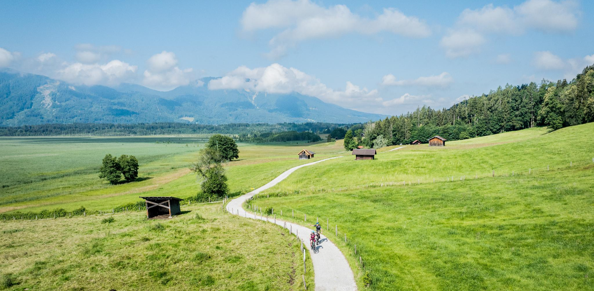
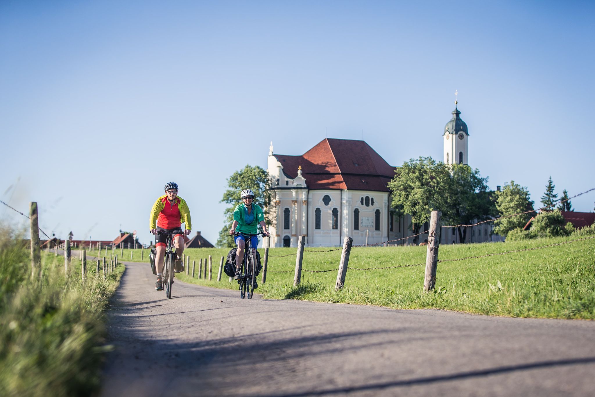

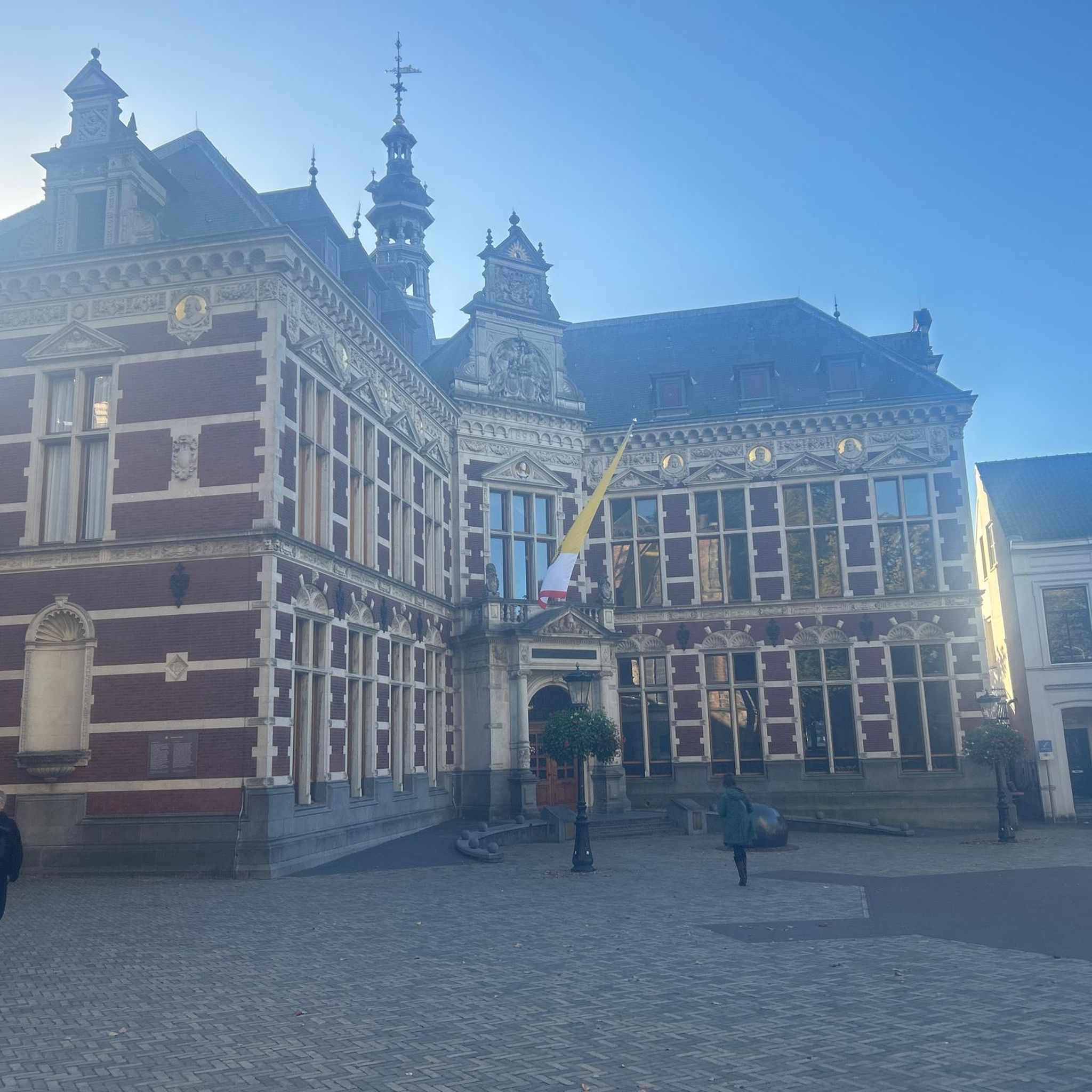
Other adventures around Bernried am Starnberger See

Tips from the Community

Not worth it, but there was no alternative to the closed cycle path down to Oberau. It is currently being repaired.
0
0

Beautiful Upper Bavarian landscape, little traffic - but quite steep ramps!
0
0


The founding of the monastery in 1330 goes back to a whimsical legend of Emperor Louis IV, the Bavarian. On his way back from Italy, his horse is said to have knelt down exactly three times at the site of the present-day monastery. The Emperor interpreted this as a divine sign to found a monastery precisely at this spot. He then had a twelve-sided Gothic central church built, which was completely unusual for the time.
0
0

The Ettaler Sattel is a scenic mountain pass on the edge of the Naturpark Ammergauer Alpen. A classic cycling and hiking waypoint with a signpost marking the elevation — look out for the views toward Ettal Abbey below.
0
0

You have to cross it if you're heading south. But it's even and quick to ride. It's only a moderate 3700 m. Lots of traffic on some days.
0
0

The path winds idyllically along the Loisach. Basically very nicely laid out, but sometimes too crowded.
0
0

Great view over the Riegsee towards the Alps.
1
0
Frequently Asked Questions
How many no-traffic road cycling routes are available around Bernried am Starnberger See?
There are over 10 dedicated no-traffic road cycling routes around Bernried am Starnberger See, offering a variety of distances and difficulty levels for a smooth ride.
What kind of terrain and elevation can I expect on these no-traffic road cycling routes?
The region offers diverse terrain, from flat lakeside paths to rolling hills with moderate climbs. Routes like the View of the Alps – Scenic Route Near Gallafilz loop from Bernried feature significant elevation gains, while others are gentler, providing options for all fitness levels. You'll often find well-paved paths ideal for road bikes.
Are there any easy, no-traffic road cycling routes suitable for beginners or families?
Yes, there are several easy routes perfect for beginners or families looking for a relaxed ride. For instance, the Scenic Route Near Gallafilz – Hardt Chapel, Haunshofen loop from Bernried is an easy option, covering about 22 km with manageable elevation, allowing you to enjoy the scenery without strenuous effort.
What are some notable landmarks or viewpoints I can see along the no-traffic road cycling routes?
Many routes offer stunning views of Lake Starnberg and the Bavarian Alps. You can pass by historical sites like Schloss Höhenried and Kloster Bernried. Highlights include the Beautiful view over Lake Starnberg to the Alps and the Great Ostersee, providing picturesque stops along your ride.
What is the best time of year to enjoy no-traffic road cycling in Bernried am Starnberger See?
The spring, summer, and autumn months generally offer the best conditions for road cycling. Spring brings blooming landscapes, summer provides warm weather for lakeside rides, and autumn showcases vibrant foliage. While some routes may be accessible in winter, always check local conditions as paths can be affected by snow or ice.
Are there any longer, more challenging no-traffic road cycling routes for experienced riders?
Absolutely. For experienced cyclists seeking a challenge, routes like the Scenic Route Near Gallafilz – View of Riegsee loop from Bernried offer a moderate difficulty over 65 km with nearly 500 meters of ascent. These routes often extend into the Pfaffenwinkel region, providing diverse landscapes and longer distances.
Where can I park my car or access these routes via public transport?
Bernried am Starnberger See is well-connected. You can find parking options within the village, often near the lake or train station, which serves as a convenient starting point for many routes. Bernried also has a train station, making it accessible via public transport, allowing you to start your ride directly from the station.
Can I find cafes or places to stop for refreshments along these no-traffic routes?
Yes, many routes pass through idyllic lakeside villages and offer opportunities to stop at traditional Bavarian beer gardens or cafes. The region is known for its hospitality, so you'll find plenty of spots to refuel and enjoy local treats, especially around Lake Starnberg and in the smaller towns.
What do other road cyclists enjoy most about the no-traffic routes in Bernried am Starnberger See?
The komoot community highly rates the road cycling experience here, with an average score of 4.7 stars. Reviewers frequently praise the stunning views of Lake Starnberg and the Alps, the well-maintained, traffic-free paths, and the serene atmosphere of the Bernrieder Park and surrounding nature reserves.
Are there any circular no-traffic road cycling routes available?
Yes, many of the no-traffic road cycling routes around Bernried am Starnberger See are designed as loops, bringing you back to your starting point. This includes routes that circle parts of Lake Starnberg or venture into the picturesque Pfaffenwinkel region, offering convenient and scenic round trips.
What are the typical lengths of the no-traffic road cycling routes in this area?
The lengths of the no-traffic road cycling routes vary significantly to suit different preferences. You can find shorter, easy routes around 20-30 km, such as the Scenic Route Near Gallafilz – View of Hochschloss Pähl loop from Bernried, as well as longer, more challenging rides extending up to 60 km or more, like the Scenic Route Near Gallafilz – Egenried Village loop from Bernried.
Most popular routes around Bernried am Starnberger See
Most popular attractions around Bernried am Starnberger See

Get inspired with the komoot mobile app


Explore more
Browse the best Road cycling routes in other regions.
