The best traffic-free bike rides around Hohenpeißenberg
4.6
(752)
12,251
riders
102
rides
Road cycling around Hohenpeißenberg offers diverse landscapes with rolling hills and panoramic views of the Alpine foothills. The region features a network of well-maintained, mostly paved country roads suitable for no traffic road cycling routes. Cyclists can experience varied terrain, from gentle ascents to more challenging climbs, all set within the scenic Pfaffenwinkel region. The area is characterized by green meadows, the Ammer river, and the prominent Hoher Peißenberg summit.
Best no traffic road cycling routes around Hohenpeißenberg
- The most…
Last updated: May 15, 2026
5.0
(5)
47
riders
Moderate road ride. Great for any fitness level. Some segments of this route may be unpaved and difficult to ride.
4.8
(6)
39
riders
48.7km
02:13
390m
390m
Moderate road ride. Good fitness required. Mostly well-paved surfaces and easy to ride.

Sign up for free
5.0
(1)
29
riders
15.6km
00:52
320m
320m
Moderate road ride. Good fitness required. Mostly well-paved surfaces and easy to ride.
5.0
(1)
25
riders
Moderate road ride. Good fitness required. Mostly well-paved surfaces and easy to ride.
5.0
(2)
25
riders
Easy road ride. Great for any fitness level. Mostly well-paved surfaces and easy to ride.
Get access to more routes and recommendations from other explorers.
Sign up for free
Already have an account?
Our route recommendations are based on thousands of hikes, rides, and runs completed by other people on komoot.
Start today with a free account
Your next adventure awaits.
Login or Signup
Popular around Hohenpeißenberg
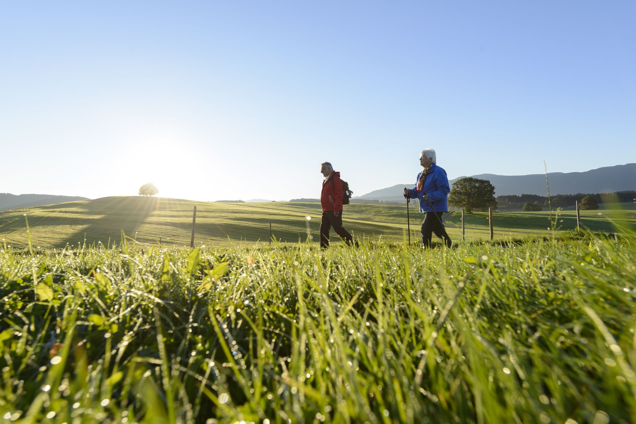
Sacred Landscape Pfaffenwinkel
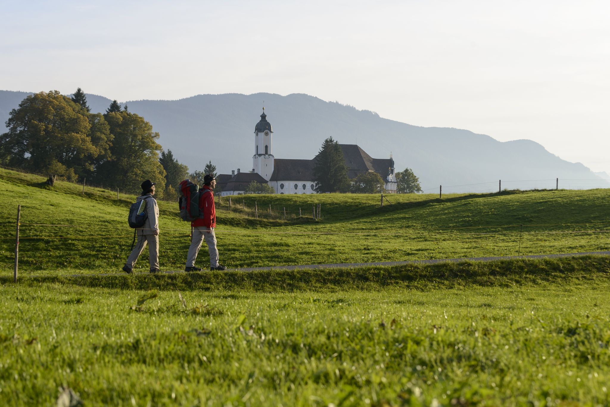
König-Ludwig-Weg: On the trails of Bavaria's fairytale König
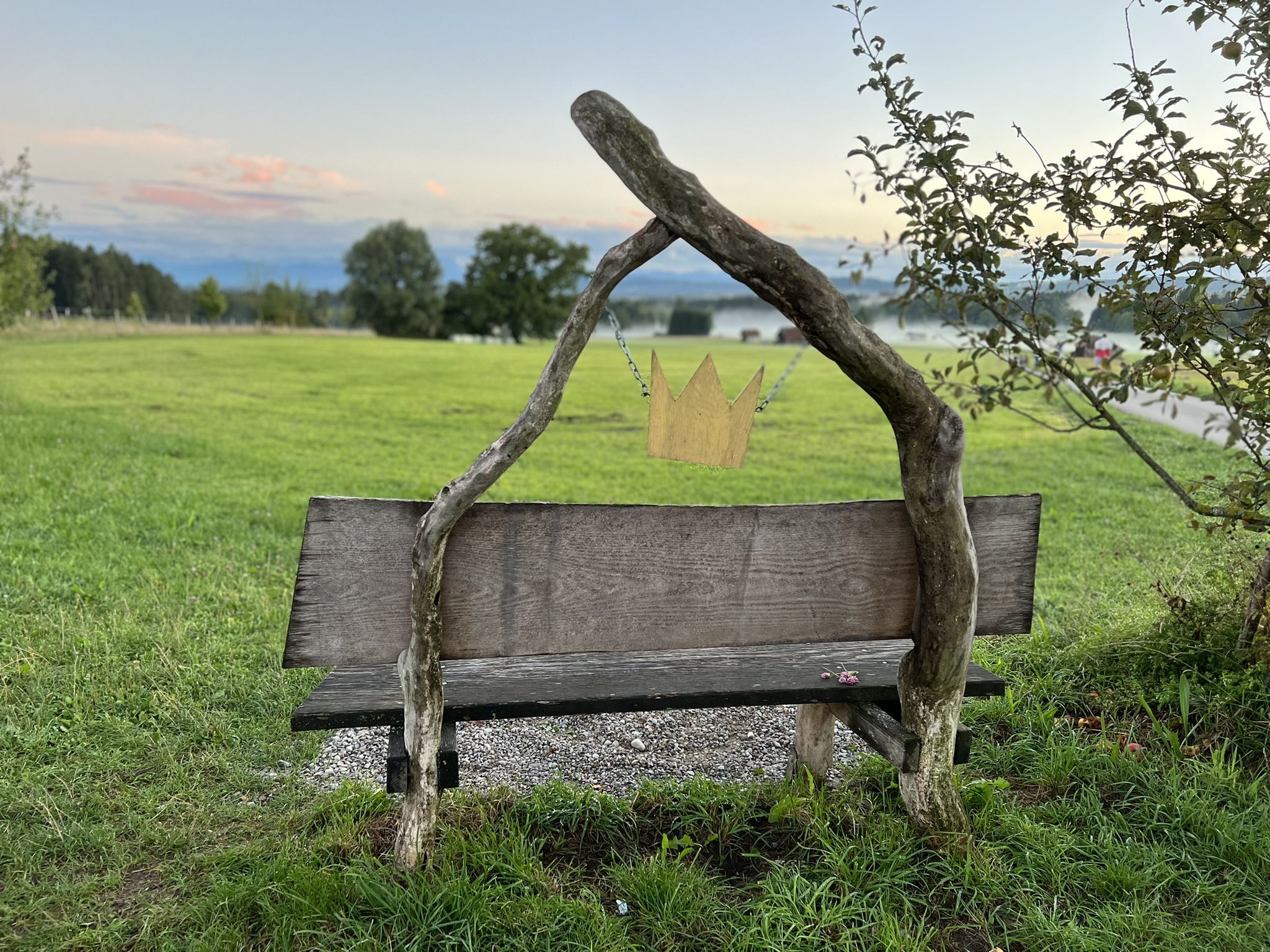
Hike the King Ludwig Trail – in the footsteps of a Bavarian king
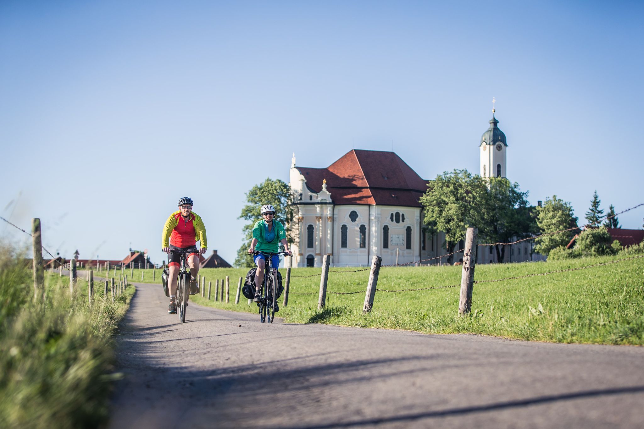
Radpilgern durch den Pfaffenwinkel
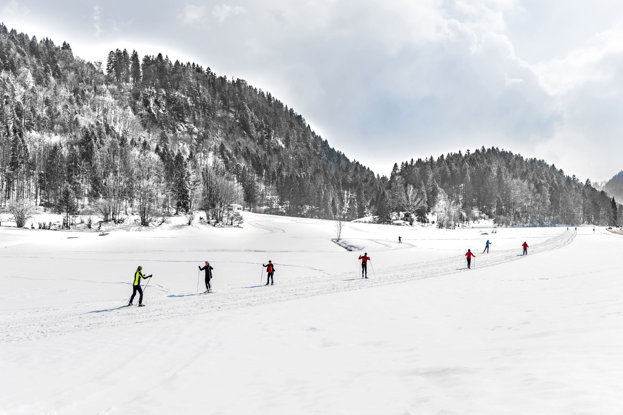
Alpenpanorama und Winterwald: Langlaufen in Oberbayern
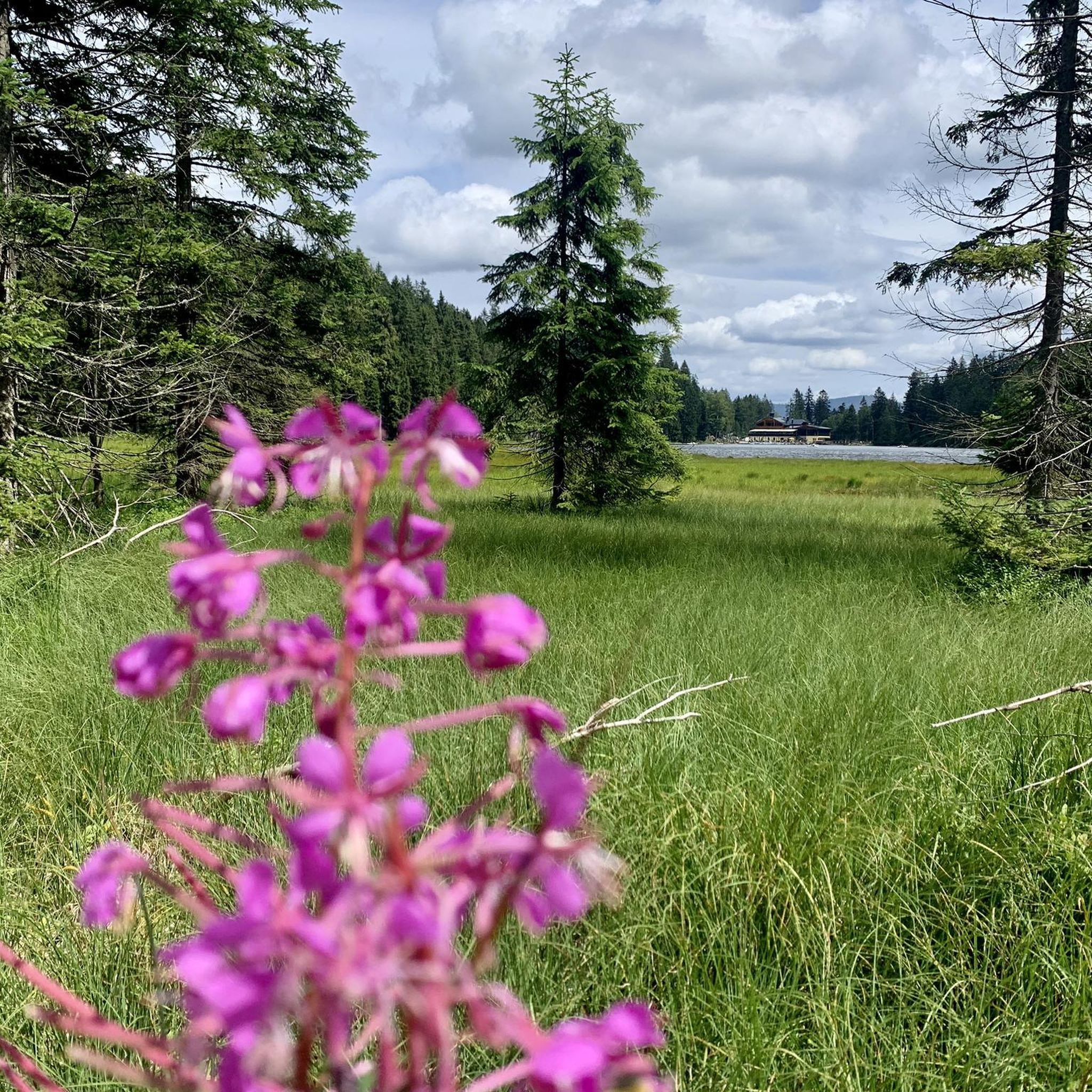
Traffic-free bike rides around Hohenpeißenberg
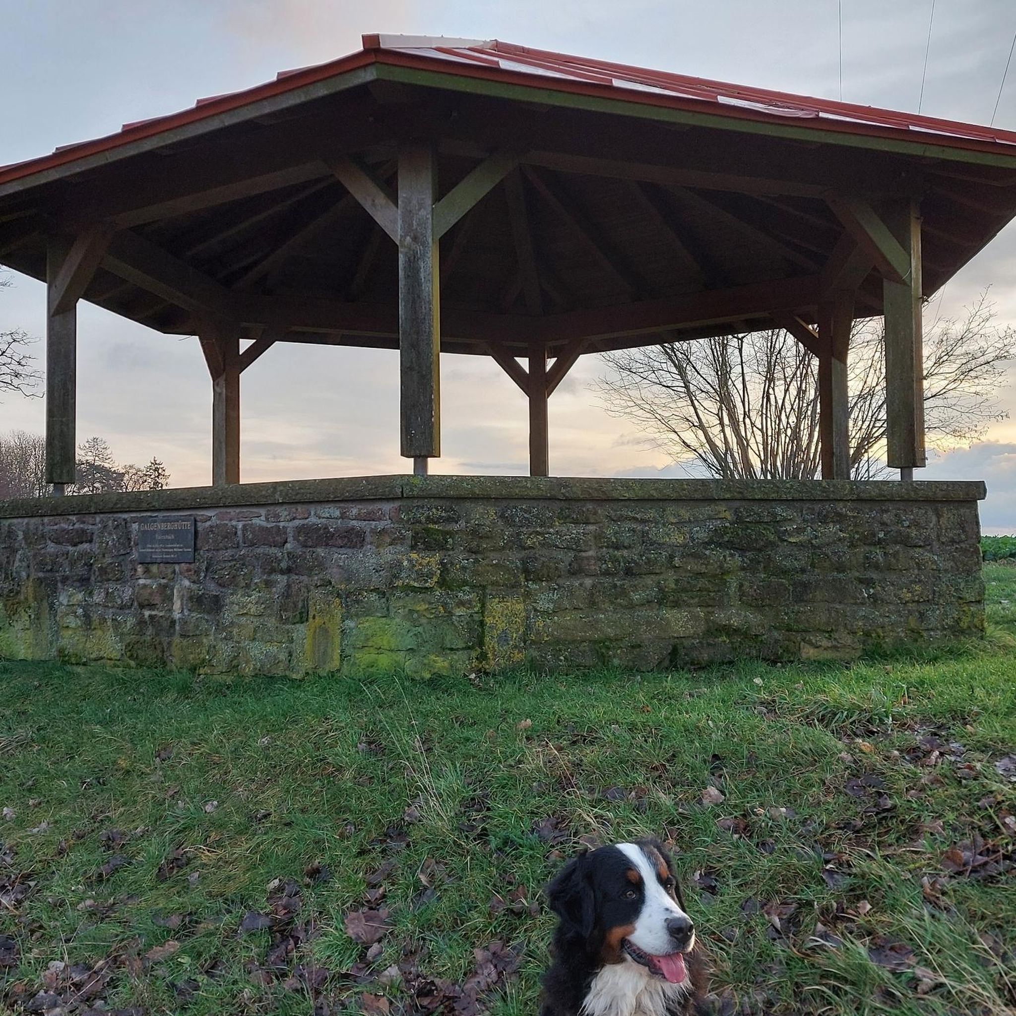
Traffic-free bike rides around Hohenpeißenberg
Other adventures around Hohenpeißenberg


Tips from the Community

This is the view that makes the heart beat faster,
0
0

... and at Easter the fountain is especially decorated!
1
0

A beautiful route with the finish line in sight. Beautiful views await.
2
0

It's simply beautiful at Staffelsee
1
0
I'm up there, so no descent 😁 You have to earn the view 😉 Great view 👀👍
2
0

This section of the Acid Trail in the Weilheimer Moos is also part of the German Sports Badge, which is awarded annually by TSV Weilheim. In addition to the 9 to 10 Friday events each year at the TSV stadium (May until the beginning of the summer holidays, with a break during the Whitsun holidays), there are also 2 cycling events (also on Fridays). Meet at 5 p.m. at the Hochlandhalle, ride together to the moor, and then two competitions: One for the "Speed" category: 200m sprint with a flying start on the "full throttle segment" Followed by the "Endurance" category: 10km lap through the moor (see photos for route) with a standing start, children/youths once, adults twice for a total of 20km. The "full throttle segment" is the last straight before the start and finish, effectively the home stretch. This year's cycling dates were May 30th and July 11th: Date 1: Sprint: https://www.komoot.com/de-de/tour/2284391331 Endurance: https://www.komoot.com/de-de/tour/2284628788 Date 2: Endurance: https://www.komoot.com/de-de/tour/2396116861 If you'd like to participate in the sports badge (starting again next year in May), you can find all the information here: https://www.tsv-weilheim.com/sportabzeichen/infos-zum-sportabzeichen/ P.S. With the two scores for speed and endurance during a cycling session, you've already fulfilled 50% of the sports badge requirements.
0
0

The "Hoher Peißenberg" is a popular excursion destination in the Pfaffenwinkel region and a popular destination for road bikers. From here, you have a fantastic panoramic view of the Alpine foothills and the Alpine chain. Even the ascent is very scenic. The pilgrimage church of the Assumption of Mary dominates the summit plateau.
0
1

There is now also a real drinking fountain almost right next to it!
1
0
Frequently Asked Questions
How many no-traffic road cycling routes are available in Hohenpeißenberg?
Hohenpeißenberg offers nearly 100 dedicated no-traffic road cycling routes. These routes vary in length and difficulty, providing options for different skill levels and preferences.
Are there beginner-friendly no-traffic road cycling routes in Hohenpeißenberg?
Yes, Hohenpeißenberg features 16 easy no-traffic road cycling routes, perfect for beginners or those seeking a relaxed ride. These routes often traverse quiet country roads with gentle inclines, allowing you to enjoy the scenic Bavarian landscape at a comfortable pace.
What kind of views can I expect on these quiet road cycling routes?
The region is renowned for its stunning panoramic views. Many routes offer vistas of the Alpine foothills, including distant views of Ammersee, Starnberger See, and the majestic Wetterstein chains with the Zugspitze. The Hoher Peißenberg Summit is a prime example, often called the "Bavarian Mount Parnassus" for its extensive outlooks.
Are there any challenging no-traffic road cycling routes for experienced riders?
Absolutely. For experienced cyclists looking for a challenge, there are 5 difficult no-traffic road cycling routes available. These routes often include more significant ascents and descents, providing a rewarding workout amidst the hilly terrain of Hohenpeißenberg.
What are some notable landmarks or attractions along the no-traffic routes?
Beyond the scenic landscapes, you can encounter several points of interest. The Hoher Peißenberg Summit hosts the historic Pilgrimage Church and the world's oldest mountain weather station. You might also discover the unique Kalkofensteg Wooden Bridge over the Ammer river, or the serene Yew Wood near Paterzell.
Can I find loop routes for no-traffic road cycling in Hohenpeißenberg?
Yes, many of the no-traffic road cycling routes in Hohenpeißenberg are designed as loops, allowing you to start and end at the same point. An example is the Raisting Earth Station – Full Throttle Segment loop from Peißenberg, which offers a moderate ride through the countryside.
What do other cyclists say about road cycling in Hohenpeißenberg?
The komoot community highly rates road cycling in Hohenpeißenberg, with an average score of 4.6 out of 5 stars from over 700 reviews. Cyclists frequently praise the region's quiet country roads, diverse landscapes, and the stunning panoramic views, especially from elevated points like the Hoher Peißenberg.
Are there any routes that take me to the Hoher Peißenberg summit?
Yes, there are routes specifically designed to take you to the Hoher Peißenberg summit. For instance, the View from Hohen Peißenberg loop from Hohenpeißenberg is a moderate route that includes the ascent to this prominent viewpoint, offering rewarding views of the surrounding Alps and lakes.
What is the best season for no-traffic road cycling in Hohenpeißenberg?
The best seasons for no-traffic road cycling in Hohenpeißenberg are typically spring, summer, and early autumn. During these months, the weather is generally pleasant, and the green meadows, rolling hills, and clear skies provide an ideal backdrop for cycling. Winter cycling might be challenging due to potential snow and ice.
Are there any routes that pass by the Ammer river or its gorge?
Yes, some routes will bring you close to the Ammer river and its impressive gorge, known as "Schnalz." You can explore areas like the Ammerschlucht Gorge Trail, where you might even spot unique sinter terraces. The Ammersteg Bridge (Oderding) – Asphalt Pathway Near Weilheim loop from Peißenberg is an example of a route that explores this beautiful river landscape.
Where can I find parking for these no-traffic road cycling routes?
While specific parking details vary by route, many of the routes start from towns like Peißenberg or Hohenpeißenberg, where public parking options are generally available. The Hoher Peißenberg summit itself also offers facilities, which can serve as a convenient starting point for routes that include the ascent.
Most popular routes around Hohenpeißenberg
Most popular attractions around Hohenpeißenberg

Get inspired with the komoot mobile app


Explore more
Browse the best Road cycling routes in other regions.
