The best traffic-free bike rides around Bassenheim
4.2
(166)
929
riders
26
rides
Gravel biking around Bassenheim offers a diverse landscape at the confluence of the Volcanic Eifel and Rhenish Slate Mountains. The region features varied terrain, including quiet forests, expansive meadows, and distinctive geological formations, providing panoramic vistas. Repurposed railway lines, such as sections of the Maifeld Cycle Route and the historic Eifel Railway Viaduct, create ideal no traffic gravel bike trails. The prominent Karmelenberg, a forested cinder cone, adds a unique natural landmark to the area's cycling opportunities.
Best no traffic…
Last updated: October 14, 2026
4.5
(12)
45
riders
40.8km
03:28
630m
630m
Hard gravel ride. Very good fitness required. Mostly paved surfaces. Suitable for all skill levels.
4.5
(16)
86
riders
Hard gravel ride. Very good fitness required. Mostly paved surfaces. Suitable for all skill levels.

4.0
(11)
72
riders
48.9km
03:14
620m
630m
Hard gravel ride. Very good fitness required. You may need to push your bike for some segments of this route.
4.3
(3)
30
riders
48.0km
03:14
760m
760m
Hard gravel ride. Very good fitness required. Mostly paved surfaces. Suitable for all skill levels.
4.5
(6)
27
riders
18.0km
01:12
370m
370m
Moderate gravel ride. Good fitness required. Mostly paved surfaces. Suitable for all skill levels.
Get access to more routes and recommendations from other explorers.
Already have an account?
Our route recommendations are based on thousands of hikes, rides, and runs completed by other people on komoot.
Start today with a free account
Your next adventure awaits.


Tips from the Community

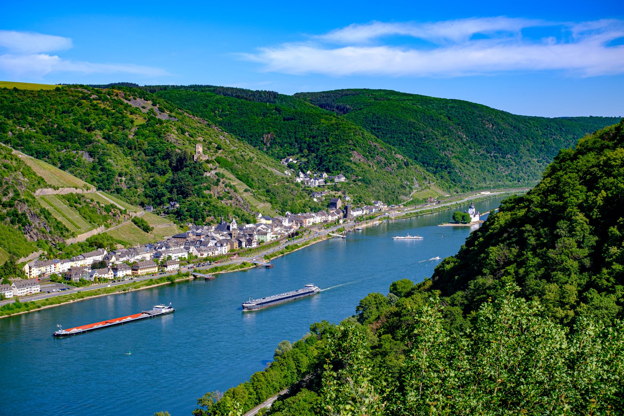
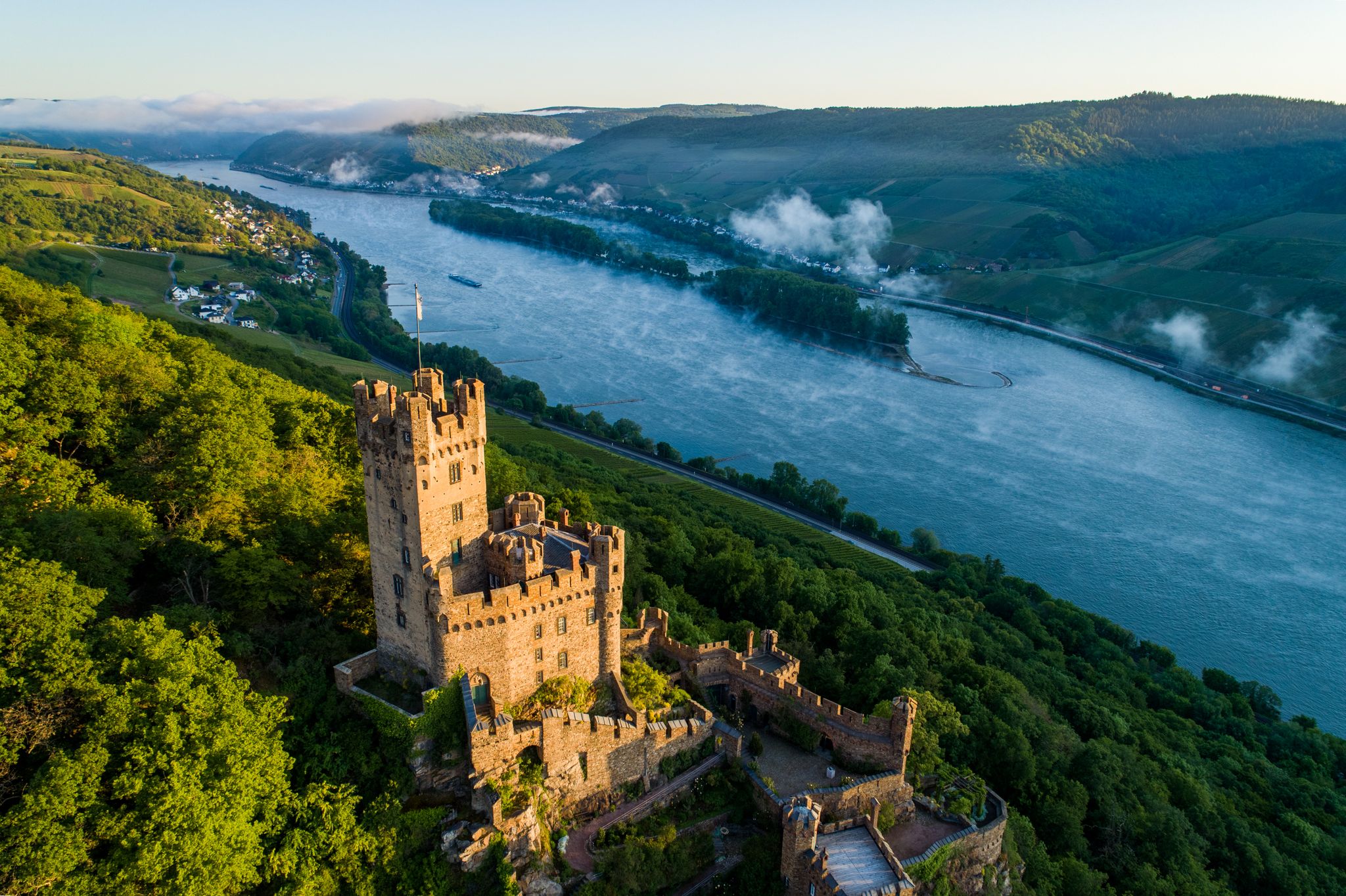
Just a few kilometers from the city center of Koblenz, in the district of the same name, high above the left bank of the Rhine, stands Stolzenfels Castle. In terms of art and cultural history, the castle, built in the 19th century from the ruins of a 13th-century castle, along with its associated park and gardens, is considered one of the most remarkable achievements of Prussian Rhine Romanticism. Originally built by the Archbishop of Trier, Arnold von Isenburg, Burg Stolzenfels was used to collect the Rhine toll until 1412. In 1689, the French destroyed the castle during the War of the Palatinate Succession. After Napoleon's defeat, the complex passed into the possession of the city of Koblenz. In 1823, the city finally gifted the ruin to the Prussian Crown Prince Friedrich Wilhelm... https://www.visit-koblenz.de/sehenswuerdigkeiten/schloss-stolzenfels
0
0

Very impressive old railway bridge in the middle of the forest.
3
0

Now that the leaves are thinning again, there is a beautiful view here again!
1
0

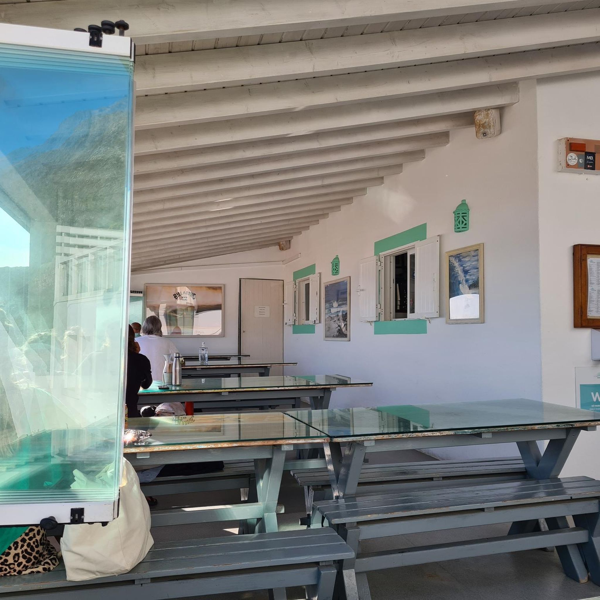
Beautifully landscaped still waters to take a break and observe water birds
2
0

From here you have a great view of the castle...and a beautiful but steep path downhill to Stolzenfels.
0
0


At the end of the valley, continue on the Panzerstraße or down to the Meerkatzbach and the Mallendarer Bachtal, also very beautiful and easy to cycle.
0
0

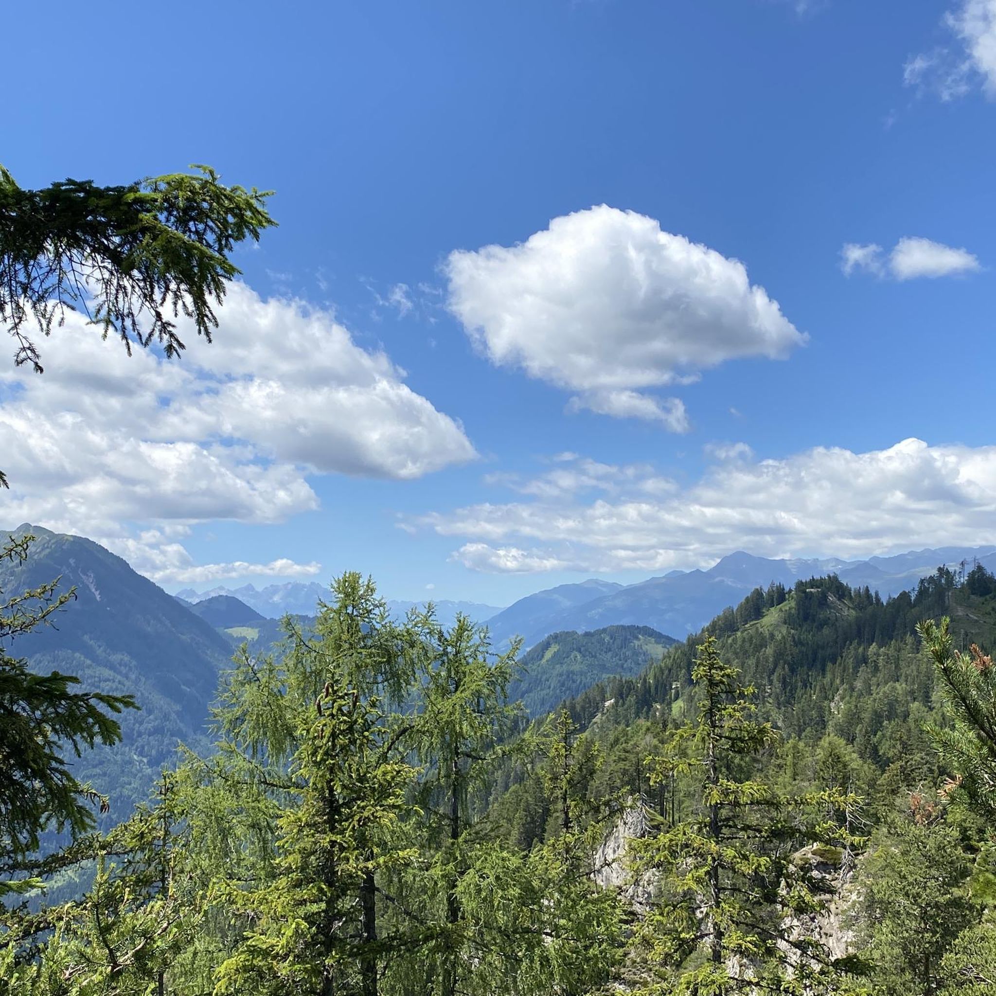
Great panorama guaranteed!!!
0
0
Frequently Asked Questions
How many traffic-free gravel bike trails are available around Bassenheim?
There are over 25 dedicated traffic-free gravel bike routes around Bassenheim listed in this guide. These routes offer a mix of easy, moderate, and challenging options, ensuring there's something for every skill level.
What kind of terrain can I expect on gravel bike trails near Bassenheim?
The terrain around Bassenheim is quite varied, thanks to its location at the confluence of the Volcanic Eifel and Rhenish Slate Mountains. You'll encounter quiet forests, expansive meadows, and distinctive geological formations. Many routes, like sections of the Maifeld Cycle Route, feature a wonderful mix of old railway lines, gravel passages, and small, quiet roads, perfect for gravel biking.
Are there any family-friendly, traffic-free gravel bike routes in Bassenheim?
Yes, the region offers several options suitable for families. Repurposed railway lines, such as the historic stone Eifel Railway Viaduct on the Eifel Rail Trail, provide relatively flat and traffic-free paths. These sections are ideal for various cycling skill levels, including families with children, allowing for a relaxed and safe riding experience.
What are some notable landmarks or viewpoints I can discover on these routes?
Many routes offer scenic views and pass by interesting landmarks. The Karmelenberg, a forested cinder cone with a historic tree-lined avenue leading to a chapel, offers panoramic vistas. You might also encounter the historic Eifel Railway Viaduct. For broader regional sights, consider routes that pass near highlights like the Deutsches Eck and Kaiser Wilhelm I Monument or the historic Old Town of Winningen.
Are there any circular gravel bike routes around Bassenheim?
Yes, many of the gravel bike routes around Bassenheim are designed as loops, allowing you to start and finish at the same point. For example, the challenging Rhine and Lahn Valleys Loop from Koblenz offers a substantial circular ride, while the View of Stolzenfels Castle – View of the Moselle Valley loop from Koblenz-Moselweiß provides another excellent circular option.
What is the best time of year for gravel biking in Bassenheim?
The diverse landscapes of Bassenheim make it suitable for gravel biking across multiple seasons. Spring and autumn offer pleasant temperatures and beautiful scenery, with spring showcasing cherry blossoms and autumn providing vibrant foliage. Summer is also great, especially on shaded forest paths. Winter conditions can vary, so checking local weather and trail conditions is advisable.
Can I access these gravel bike trails using public transport?
Bassenheim is well-integrated into the regional transport network. Many routes, especially those starting from larger towns like Koblenz, are accessible by public transport, including trains and buses that can accommodate bikes. This allows for flexible planning, whether you're looking for a one-way adventure or a loop starting from a transport hub.
Where can I find parking for gravel biking near Bassenheim?
Parking is generally available at various starting points for gravel bike trails around Bassenheim and in nearby towns. Look for designated parking areas in Bassenheim itself or at trailheads along popular routes like the Maifeld Cycle Route. Larger towns like Koblenz also offer ample parking facilities if you plan to start your ride from there.
What do other gravel bikers enjoy most about the routes in Bassenheim?
The komoot community highly rates the gravel biking experience around Bassenheim, with an average score of 4.23 stars from over 80 reviews. Riders frequently praise the region's quiet, traffic-free paths, the varied terrain that keeps rides interesting, and the beautiful natural scenery, especially the mix of forest, meadows, and volcanic landscapes.
Are there any cafes or pubs along the traffic-free gravel bike trails for a break?
While the focus is on traffic-free trails, many routes pass through or near charming villages and towns where you can find cafes, pubs, and restaurants. The Maifeld Cycle Route, for instance, connects several communities, offering opportunities for refreshment stops. It's always a good idea to check opening hours, especially in smaller villages.
Are there any challenging gravel bike routes for experienced riders?
Absolutely. While there are easy options, the region also boasts 18 difficult routes for experienced gravel bikers. These routes often feature more significant elevation changes and technical sections, providing a rewarding challenge. An example is the Köppel Observation Tower – Mühlental Path loop from Koblenz Hbf, which offers substantial climbing and varied terrain.
Most popular attractions around Bassenheim

Get inspired with the komoot mobile app


Explore more
Browse the best Gravel rides in other regions.
