The best traffic-free bike rides around Hirten
4.7
(147)
3,233
riders
7
rides
No traffic road cycling routes around Hirten are situated in a region characterized by varied terrain, including sections that pass through tunnels and offer views of the Eifel Countryside. The area features moderate elevation changes, with routes navigating through landscapes that combine natural elements with historical points of interest like city walls and castles. This provides a diverse setting for road cyclists seeking routes free from vehicle traffic.
Best no traffic road cycling routes around Hirten
- The most popular no traffic road cycling route is Old Ochtendung Train Station – View of the Eifel Countryside loop from Mayen Ost, a 26.8 miles (43.2 km) trail that takes about 2 hours 6 minutes to complete. This route offers views of the Eifel Countryside and includes moderate climbs.
- Another top favourite among local road cyclists is Hansen Tunnel – Hausen-1 Tunnel loop from Mayen Ost, a moderate 32.1 miles (51.6 km) path. This route features passages through tunnels and significant elevation gain.
- Local road cyclists also love the Hansen Tunnel – Old Ochtendung Train Station loop from Mayen West, a 32.1 miles (51.7 km) trail leading through areas with tunnels and offering views towards the Old Ochtendung Train Station, often completed in about 2 hours 34 minutes.
- Road cycling around Hirten is defined by routes that incorporate tunnels, views of the Eifel Countryside, and historical landmarks such as city walls. The network offers options for different ability levels, from easy to moderate.
- The routes in Hirten are highly rated by the komoot community with an average score of 4.6 stars from over 140 reviews. More than 3000 road cyclists have used komoot to explore Hirten's varied terrain.
Last updated: May 15, 2026
5.0
(3)
49
riders
43.2km
02:06
490m
490m
Moderate road ride. Good fitness required. Mostly well-paved surfaces and easy to ride.
4.7
(3)
47
riders
29.2km
01:26
350m
350m
Moderate road ride. Good fitness required. Mostly well-paved surfaces and easy to ride.

Sign up for free
5.0
(2)
70
riders
51.9km
02:21
560m
560m
Moderate road ride. Good fitness required. Mostly well-paved surfaces and easy to ride.
4.3
(3)
12
riders
18.8km
00:57
260m
260m
Easy road ride. Great for any fitness level. Mostly well-paved surfaces and easy to ride.
6
riders
51.7km
02:34
700m
700m
Moderate road ride. Good fitness required. Mostly well-paved surfaces and easy to ride.
Get access to more routes and recommendations from other explorers.
Sign up for free
Already have an account?
Our route recommendations are based on thousands of hikes, rides, and runs completed by other people on komoot.
Start today with a free account
Your next adventure awaits.
Login or Signup
Popular around Hirten
Tips from the Community

The Obertor is a city gate of the Mayen town fortifications that has survived to this day. It was built between 1299 and 1354. The different stone formats and corner ashlar formations make the various construction phases visible. Initially, the lower floor was built in the 14th century during the reign of Archbishop Balduin of Luxembourg (c. 1285-1354, Archbishop of Trier 1307-1354). The Obertor was only extended upwards in the 15th century. The tower was restored in 1909 and 1976 and has thus survived in good condition to this day. The gate used to provide access from the Eifel region along the northern town wall to the Brückentor, which has also survived to this day. The Obertor formerly served as a starting point for pilgrims on the Way of St. James from Mayen towards Trier. Today, weddings can be held in the registry office in the Obertor, and the city library is housed in the adjacent building. (Jonas Breithaupt, University of Koblenz-Landau, 2015)
1
0
One of the city gates from the fortifications of Mayen that has survived to this day is the Obertor. It was built between 1299 and 1354. Different stone formats and the design of the corner blocks make the different construction phases visible. Initially, the lower floor was built during the reign of Archbishop Balduin of Luxembourg (c. 1285-1354, Archbishop of Trier 1307-1354) in the 14th century. The Obertor was only extended in the 15th century. The tower was restored in 1909 and 1976 and has thus been preserved in good condition to this day. Through the gate, one used to exit the Eifel region along the northern city wall to the Brückentor, which is also preserved to this day. The Obertor formerly served pilgrims as a starting point on the Way of St. James from Mayen in the direction of Trier. Today, one can get married in the registry office in the Obertor, and the city library is housed in the adjacent building of the Obertor. Source: Jonas Breithaupt, Universität Koblenz-Landau, 2015
2
0
The northern gate of the city fortifications, which still exists today, is the gatehouse located on the Nette river, built between 1299 and 1354. It secured the crossing of the Nette and primarily served as the city entrance from the direction of Koblenz, which is why it also bears the name "Koblenzer Tor" (Koblenz Gate). Since there are no signs of a slot in the wall for a portcullis, it is assumed that a drawbridge to the bridge pier on the Nette was used to secure the gate. Due to the flood in 1598, the gatehouse collapsed along with the outer gate. However, the chiseled number 1599 testifies that the gatehouse was rebuilt just one year later. From the beginning of the 19th century until 1855, the gatehouse was used as a prison. The city coat of arms, added in 1911, is still visible today. Source: Jonas Breithaupt, University of Koblenz-Landau, 2015
2
0

The signal box for Mayen-Ost station is located here.
1
0

The Brückentor (Bridge Gate) is one of Mayen's few remaining medieval city gates and once served as the most important entrance for travelers coming from Koblenz. Today, this historic building houses the Mayen Carnival Museum, which brings the city's long tradition of "Faasenaacht" (Carnival Night) to life.
0
0

The late Gothic castle was besieged, destroyed, and rebuilt several times over the course of its eventful history. The current complex consists of the upper castle with the 34-meter-high Golo Tower and the slightly lower outer castle. The castle is protected from the city by a large castle gate, and on the other side by the keep and a moat complex. The former moat is now a ring road spanned by a 20-meter-long Gothic stone bridge. The Genovevaburg Castle houses two exhibitions of the Eifel Museum: EifelTotal and the German Slate Mine.
9
0
The Holy Spirit Chapel is a former hospital chapel that was part of a hospital in the Middle Ages. Foundations discovered in 1935 suggest that a chapel connected to the then hospital already stood here earlier. According to tradition, the chapel was looked after around 1380 by a priest and a chaplain who received a house near the hospital from the estate of a Pastor Wienand. Since 1592, the chapel has belonged to the Clemensstift.
9
1

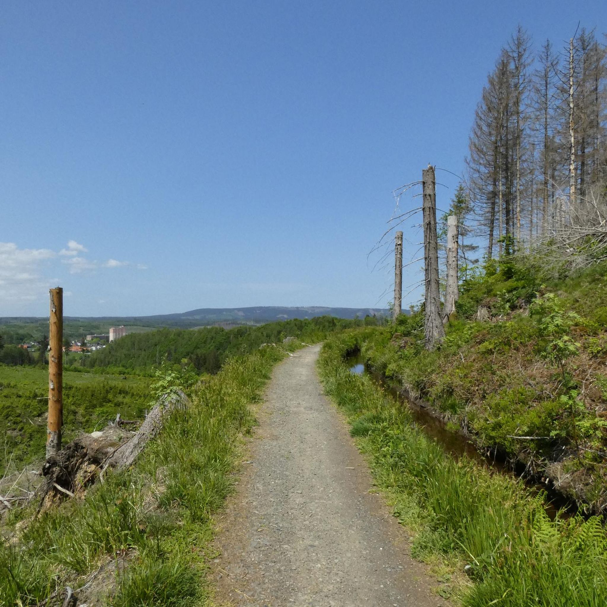
Nice back road. Rolls well. Very shady.
2
0
Frequently Asked Questions
How many no-traffic road cycling routes are available around Hirten?
There are 7 dedicated no-traffic road cycling routes around Hirten, offering a variety of experiences for different skill levels. You'll find 2 easy routes and 5 moderate routes to explore.
What kind of terrain can I expect on these no-traffic routes?
The no-traffic road cycling routes around Hirten feature varied terrain, with elevation gains ranging from approximately 260 to over 700 meters. For example, the Hansen Tunnel – Old Ochtendung Train Station loop from Mayen West has an elevation gain of over 700 meters, while the easier Mayen City Wall – Genovevaburg Mayen loop from Mayen West has about 260 meters of ascent.
Are there any easy, short no-traffic road cycling routes suitable for beginners or families?
Yes, there are easy routes available. The Mayen City Wall – Genovevaburg Mayen loop from Mayen West is an easy option, covering approximately 18.7 kilometers with a moderate elevation gain, making it suitable for a more relaxed ride.
What are some of the scenic viewpoints or natural features along the no-traffic road cycling routes?
While cycling the no-traffic routes, you can discover several natural features and viewpoints. Consider visiting the Selbach Gorge or the Nitztal Valley. For panoramic views, the Udelsheck cross with refuge and the Gänsehals Shelter with a view of Lake Laach offer great spots to pause and enjoy the scenery.
Are there any circular no-traffic road cycling routes in the Hirten area?
Many of the no-traffic road cycling routes around Hirten are designed as loops. For instance, the Old Ochtendung Train Station – View of the Eifel Countryside loop from Mayen Ost provides a circular journey, allowing you to start and end at the same point without retracing your path.
What do other road cyclists enjoy most about the no-traffic routes in Hirten?
The no-traffic road cycling routes around Hirten are highly rated by the komoot community, with an average score of 4.6 stars from 140 ratings. Cyclists often praise the quiet roads and the opportunity to enjoy the landscape without vehicle interference, making for a peaceful and enjoyable ride.
Are there any challenging no-traffic road cycling routes for experienced riders?
While there are no routes explicitly graded as 'difficult,' several moderate routes offer a good challenge due to their length and elevation gain. The Hansen Tunnel – Hausen-1 Tunnel loop from Mayen Ost, for example, covers over 51 kilometers with nearly 600 meters of ascent, providing a substantial workout.
Are there any tunnels on the no-traffic road cycling routes?
Yes, some routes incorporate tunnels, adding a unique element to your ride. The Hausen-1 Tunnel – Hansen Tunnel loop from Mayen West is one such route that features tunnels, offering an interesting experience as part of its 29-kilometer journey.
What kind of historical landmarks or points of interest can be found near the routes?
You can encounter historical and cultural points of interest, such as the Mayen City Wall and the Genovevaburg Mayen, which are part of a shorter, easy route. These offer a glimpse into the local heritage.
Are there any places to stop for refreshments or shelter along the no-traffic routes?
Yes, you can find huts and shelters in the broader Hirten area that might be accessible from some routes. Options include the Wabelsberg Juniper Hut and the Panorama Shelter Hohenleimbach, which can serve as good resting points.
What is the typical length of the no-traffic road cycling routes in Hirten?
The no-traffic road cycling routes around Hirten vary in length, catering to different preferences. You'll find routes ranging from approximately 18 kilometers, like the Mayen City Wall – Genovevaburg Mayen loop from Mayen West, up to over 51 kilometers, such as the Hansen Tunnel – Hausen-1 Tunnel loop from Mayen Ost.
Most popular attractions around Hirten

Get inspired with the komoot mobile app


Explore more
Browse the best Road cycling routes in other regions.
