The best traffic-free bike rides around Pohl
4.5
(218)
1,953
riders
5
rides
No traffic road cycling routes around Pohl traverse a landscape characterized by rolling hills, river valleys, and scenic winding roads, particularly within the broader Taunus and Westerwald regions. The terrain features notable elevation changes, with routes often following country roads through forested areas and open countryside. This area offers varied topography suitable for road cycling, from moderate climbs to more challenging ascents.
Best no traffic road cycling routes around Pohl
- The most popular no traffic road cycling route is Gelbachtal…
Last updated: October 28, 2026
3.0
(1)
13
riders
25.3km
01:11
210m
210m
Moderate road ride. Some segments of this route may be unpaved and difficult to ride.
4
riders
61.3km
03:14
1,090m
1,090m
Hard road ride. Very good fitness required. Some segments of this route may be unpaved and difficult to ride.

3
riders
25.1km
01:16
300m
300m
Moderate road ride. Some segments of this route may be unpaved and difficult to ride.
5
riders
33.1km
01:43
550m
540m
Moderate road ride. Good fitness required. Mostly well-paved surfaces and easy to ride.
1
riders
54.7km
02:48
860m
870m
Moderate road ride. Good fitness required. Some segments of this route may be unpaved and difficult to ride.
Our route recommendations are based on thousands of hikes, rides, and runs completed by other people on komoot.
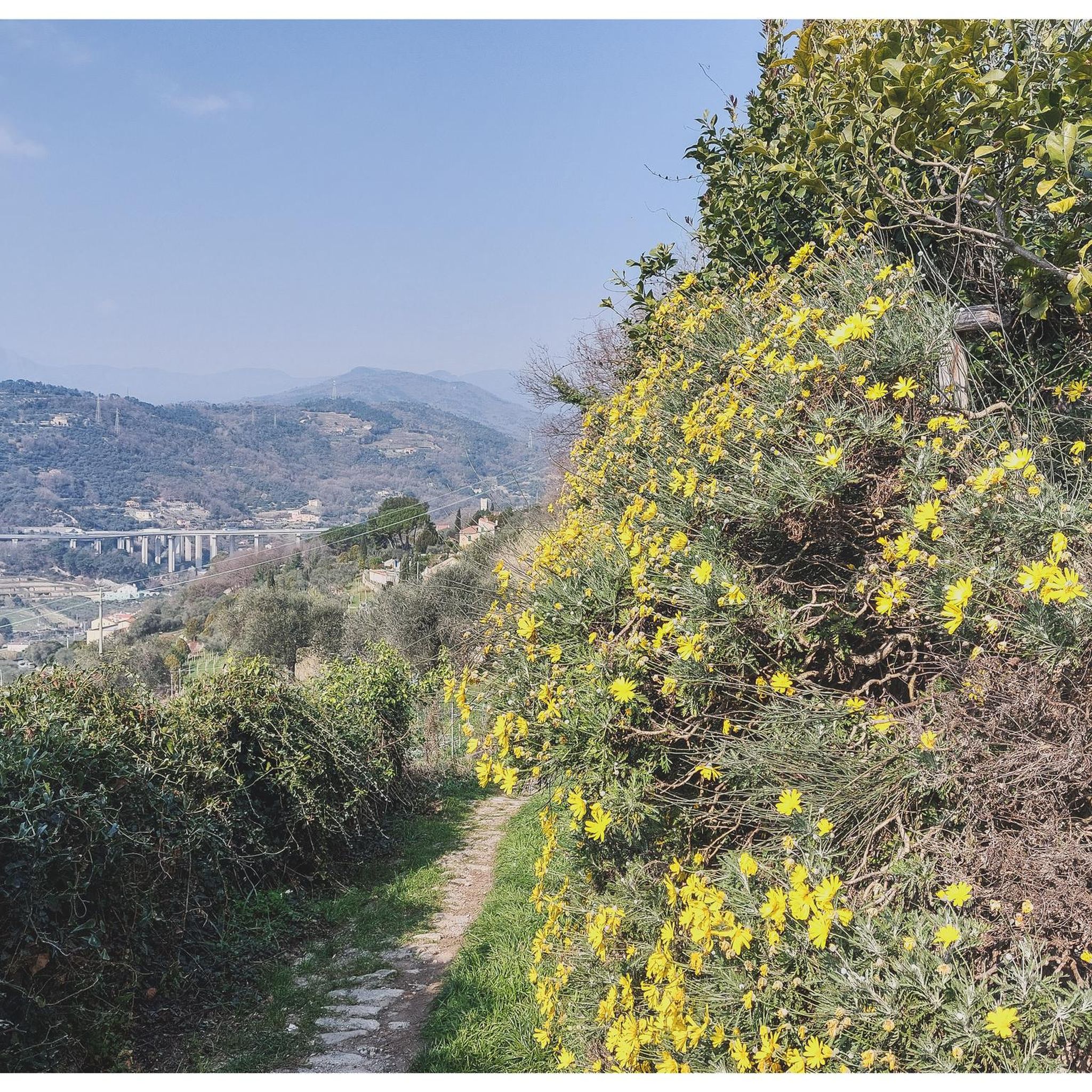
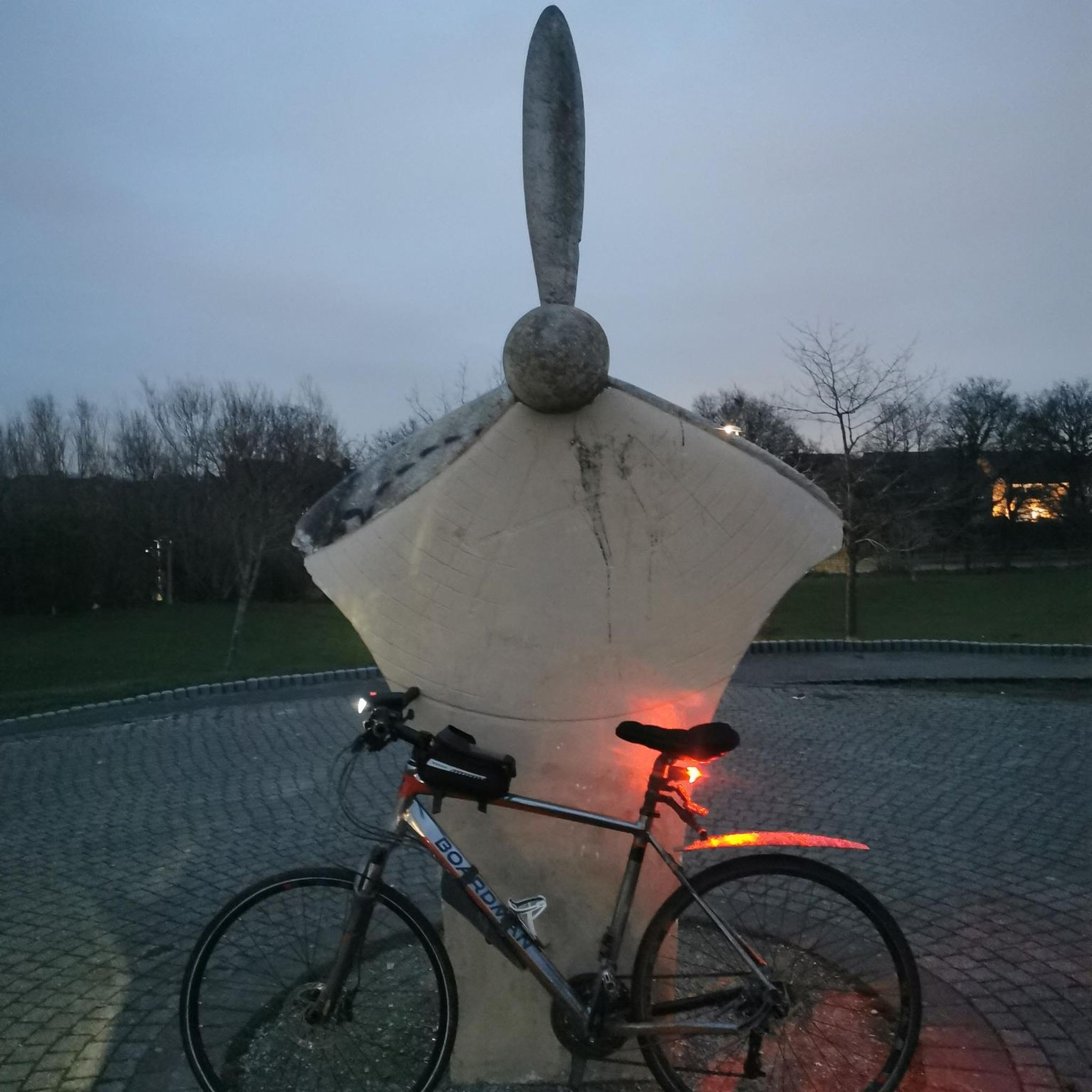
Tips from the Community

The old bridge and the church in the background - a really nice photo motif.
0
0
The bridge with the church in the background is really a beautiful motif.
0
0

At the spot below by the road, the very steep ascent begins on a path up to the Marienfels cliff next to the barbecue hut and the Lümmelbank (65 meters of altitude gain over 265 meters of distance). On the way, at a fork directly after a right turn, choose the right path upwards. The upper part of the ascent is secured by a (stable as of 06.06.2026) wooden railing at the precipice. Those who prefer to skip this steep ascent can take the wide path a bit further to the right along the road past the cemetery, then turn right into the forest and relatively far up, turn right again to the barbecue hut.
0
0

From here it is easy to see why the Romans chose the hill near Pohl as the location for the small fort.
0
0

Dishes and drinks reasonably priced. Nice hosts to chat with.
0
0

The house looks more interesting in the photo than in reality. But the deep mill stream running through Miehlen is something special.
0
0
The old stone bridge is worth seeing, but the church is unfortunately closed.
0
0

Frequently Asked Questions
How many traffic-free road cycling routes are available around Pohl?
There are 7 dedicated traffic-free road cycling routes around Pohl listed in this guide. These routes offer a range of distances and elevation profiles for a focused cycling experience.
What is the general difficulty level of these no-traffic road cycling routes?
The majority of the routes are classified as moderate, with 6 out of 7 falling into this category. There is also 1 more challenging route for experienced riders. There are no easy routes listed in this selection, suggesting a focus on routes with some elevation gain.
What kind of scenery or landmarks can I expect along these routes?
While cycling these routes, you can discover various points of interest. For scenic views, consider highlights like the View of the Lahn River bend from Gabelstein or the Hohe Lay Viewpoint. If you're interested in historical sites, you might encounter places near Schaumburg Castle or the Historic Chain Bridge in Nassau.
Are there any longer no-traffic road cycling routes for experienced riders?
Yes, for a more challenging ride, consider the "Scenic Winding Road in Taunus – Descent to Laufenselden loop from Rettert". This route covers approximately 61 kilometers with over 1000 meters of elevation gain, making it a difficult but rewarding option.
Can I find shorter, moderate no-traffic road cycling routes?
Absolutely. Routes like "View from Marienfels – St. Mary’s Church, Marienfels loop from Nastätten" offer a moderate challenge over about 25 kilometers with around 200 meters of ascent. Another similar option is "St. Mary’s Church, Marienfels – Limes Fort Pohl loop from Geisig", also around 25 kilometers with moderate elevation.
What do other cyclists say about road cycling in this area?
The routes in this area are highly rated by the komoot community, with an average score of 4.5 stars from 163 ratings. Cyclists often praise the quiet roads and scenic views, especially on routes designed to avoid heavy traffic.
Are there any loop routes among the traffic-free options?
Yes, all the routes featured in this guide are designed as loops, allowing you to start and finish at the same point. For example, the "Gelbachtal Valley – Country road along the Gelbach loop from Nassau (Lahn)" is a popular circular option.
Are these routes suitable for families or beginners?
Given that the routes are categorized as moderate to difficult with significant elevation changes, they are generally better suited for cyclists with some experience. Beginners or families with young children might find the climbs challenging. It's advisable to check the specific route profiles before heading out.
Is there a route that combines scenic views with a moderate challenge?
The "St. Mary’s Church, Marienfels – Weyer Ostrich Farm loop from Geisig" could be a great choice. It's a moderate 33-kilometer loop with over 500 meters of elevation, offering a good workout while exploring the local landscape.
What is the best time of year to enjoy these traffic-free road cycling routes?
While specific seasonal data isn't available, road cycling in regions like the Westerwald and Taunus is generally most pleasant from spring through autumn (April to October). During these months, you can expect milder temperatures and better road conditions. Always check local weather forecasts before your ride.
Are there any routes that follow disused railway lines for a flatter experience?
This guide focuses on road cycling routes, which typically involve varying terrain and elevation changes rather than flat, disused railway lines. The routes provided here are on country roads designed to be low-traffic, but they do include ascents and descents characteristic of the region.
Most popular attractions around Pohl

Get inspired with the komoot mobile app


Explore more
Browse the best Road cycling routes in other regions.
