The best traffic-free bike rides around Schlüchtern
5.0
(6)
143
riders
29
rides
Gravel biking around Schlüchtern is characterized by its location at the convergence of the Rhön, Vogelsberg, and Spessart low mountain ranges. This results in a landscape of rolling hills, dense forests, and river valleys, including the Kinzig. The region offers a network of paths suitable for no traffic gravel bike trails, traversing varied terrain.
Best no traffic gravel bike trails around Schlüchtern
- The most popular no traffic gravel bike trail is Willings Pond – Westergrund Nature Reserve loop from Schlüchtern…
Last updated: May 15, 2026
5.0
(1)
7
riders
50.1km
03:19
860m
860m
Hard gravel ride. Very good fitness required. Mostly paved surfaces. Suitable for all skill levels.
5.0
(1)
6
riders
65.0km
04:16
1,060m
1,060m
Hard gravel ride. Very good fitness required. You may need to push your bike for some segments of this route.

Sign up for free
9
riders
Hard gravel ride. Very good fitness required. Mostly paved surfaces. Suitable for all skill levels.
4
riders
Hard gravel ride. Very good fitness required. Mostly paved surfaces. Suitable for all skill levels.
4
riders
Hard gravel ride. Very good fitness required. You may need to push your bike for some segments of this route.
Get access to more routes and recommendations from other explorers.
Sign up for free
Already have an account?
Our route recommendations are based on thousands of hikes, rides, and runs completed by other people on komoot.
Start today with a free account
Your next adventure awaits.
Login or Signup
Popular around Schlüchtern
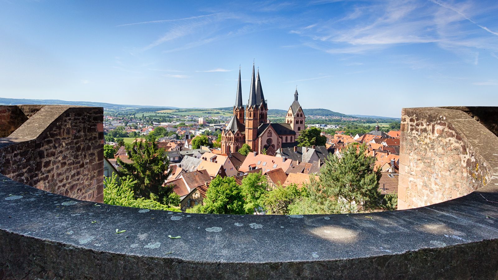
On the Way of St. James through Hesse – from the Fulda to the Main
Endless forests, flowing trails – MTB in Germany’s Spessart region
Mountain biking in the Spessart – Awesome trails in Germany
Mountain biking in the Spessart – Awesome trails in Germany
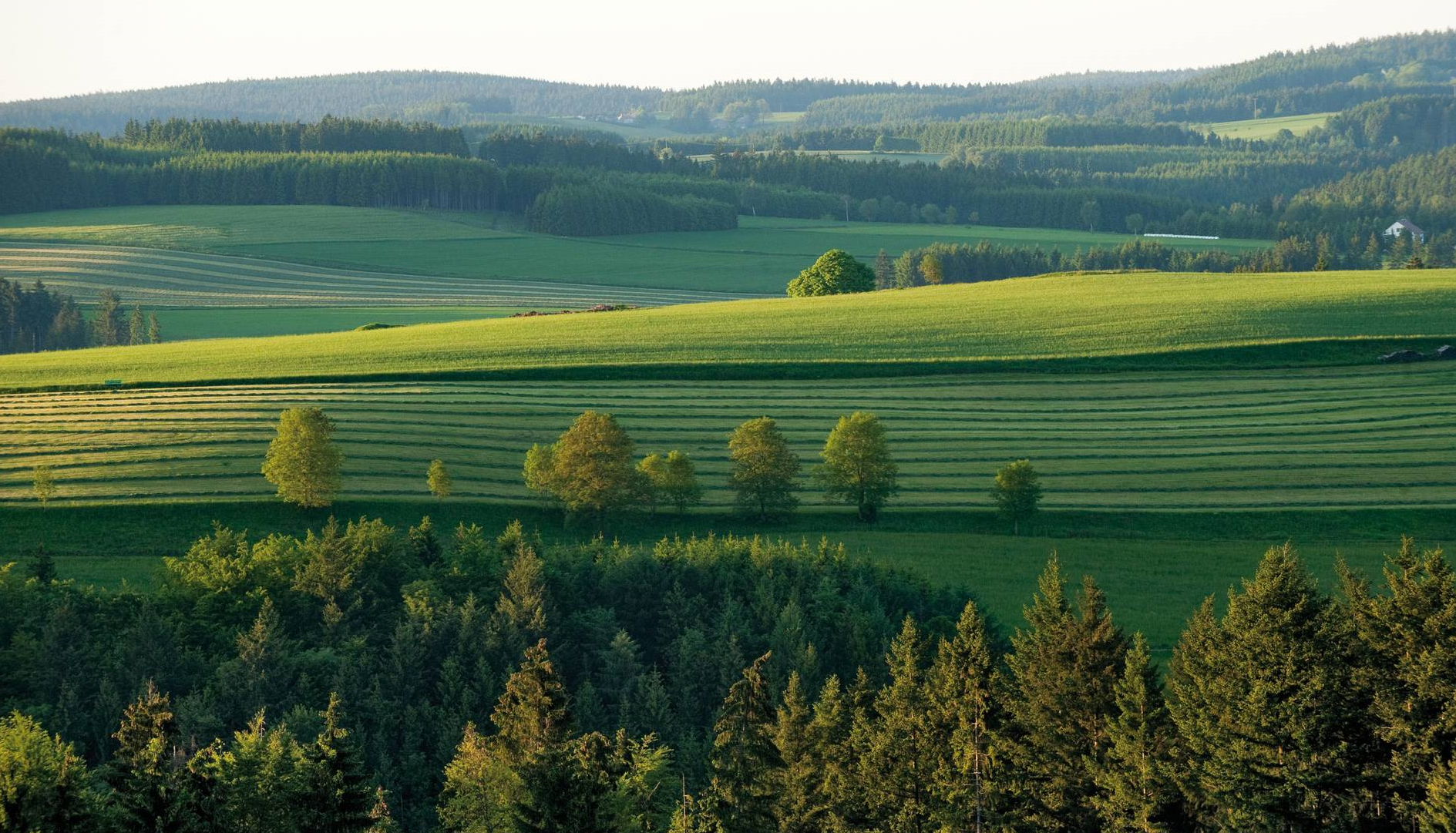
The most beautiful tours for summer and autumn – hiking paradise Franconia
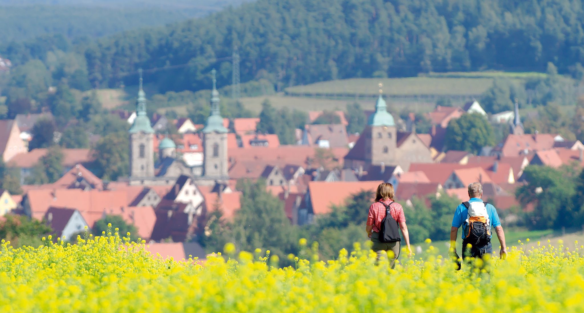
Unforgettable panoramic views — the most beautiful long-distance hikes in Franconia
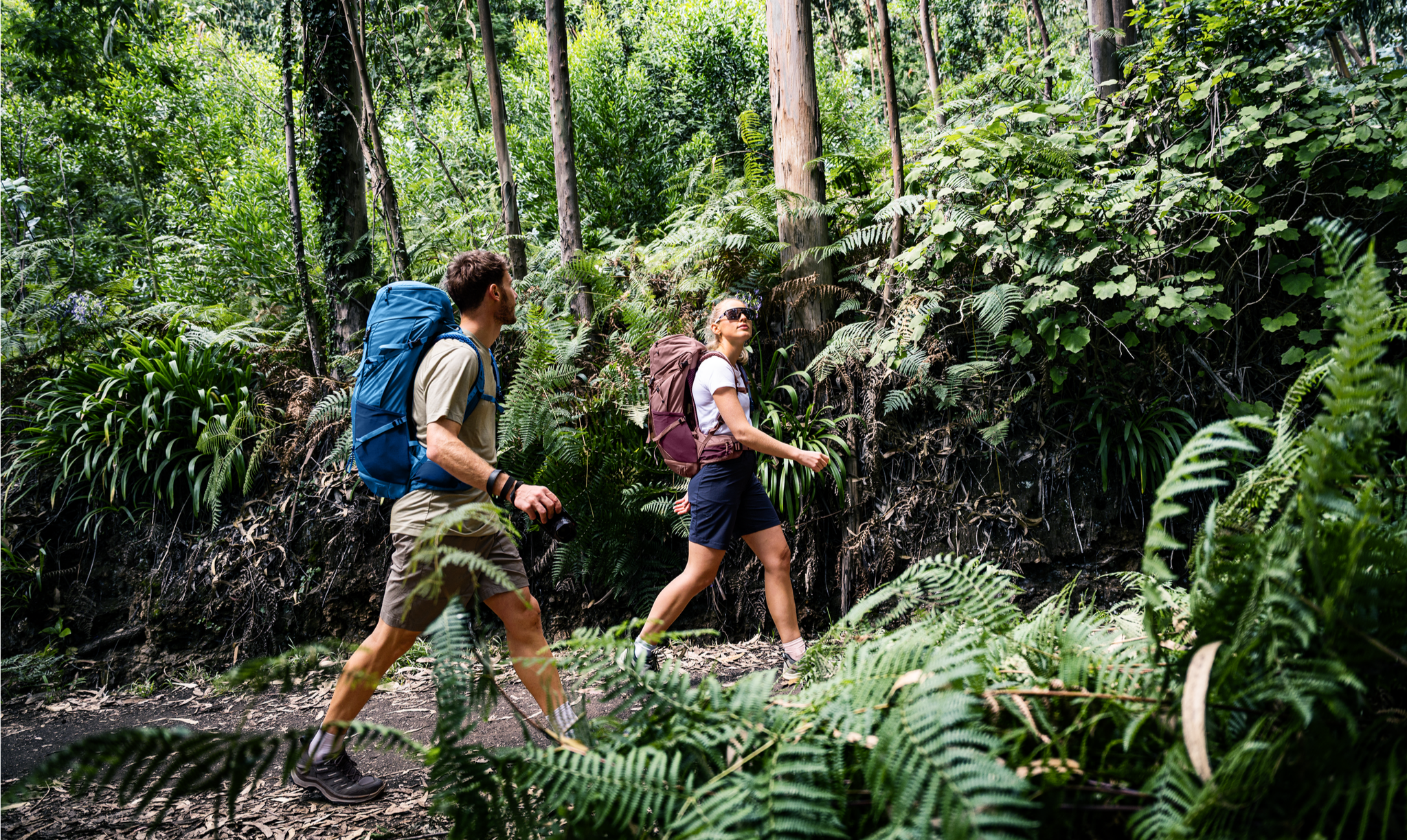
Rucksack auf und los – Weitwandern mit deuter in Deutschland

Traffic-free bike rides around Schlüchtern

Traffic-free bike rides around Schlüchtern
Other adventures around Schlüchtern


Tips from the Community

When it's dry, it's no problem to cycle the path.
1
0
There is a good cycle path here. I personally prefer the southern cycle path along the reservoir.
2
0

The Kinzig is a river approximately 86 kilometers long. It rises in Sterbfritz, flows southwest through the Main-Kinzig district of Hesse, and flows into the Main from the right in Hanau. The Kinzig is a second-order river in low mountain ranges. It overcomes an elevation of 301 meters and has a bed gradient of 3.5 per thousand. The Kinzig's catchment area covers 1,058 square kilometers, and the calculated mean discharge (MQ) at the mouth of the Kinzig is 10.97 cubic meters per second. The Kinzig was first documented in 796 as "iuxta fluvium Kincihen." In 815, the name was written as "Chinzicha," around 900 as "Kincicha"/"Kinzicham," in 1364 as "Kinzige," in 1584 as "Kintzig," in 1607 as "Bintz," in 1681 as "Kintz," in 1716 as "Kins," in 1769 as "Kinzing," and in 1802 as "Kinzig." In the river's headwaters, there was the now-defunct village of Kinzig, mentioned in 815 as "Chirizichheimero." The village and river were often confused by monastery scribes at that time with "Chizzicha" (now Bad Kissingen), both of which were described as being located in the Saalegau. The name presumably derives from the ancient Celtic *ku̯anti̯o- meaning "flat hill, valley." The name was therefore derived from the mountainous region from which the Kinzig flows. Source: Wikipedia
2
0
The Kinzig is a river approximately 86 kilometers long. It rises in Sterbfritz, flows southwest through the Main-Kinzig district of Hesse, and flows into the Main from the right in Hanau. The Kinzig is a second-order river in low mountain ranges. It overcomes an elevation of 301 meters and has a bed gradient of 3.5 per thousand. The Kinzig's catchment area covers 1,058 square kilometers, and the calculated mean discharge (MQ) at the mouth of the Kinzig is 10.97 cubic meters per second. The Kinzig was first documented in 796 as "iuxta fluvium Kincihen." In 815, the name was written as "Chinzicha," around 900 as "Kincicha"/"Kinzicham," in 1364 as "Kinzige," in 1584 as "Kintzig," in 1607 as "Bintz," in 1681 as "Kintz," in 1716 as "Kins," in 1769 as "Kinzing," and in 1802 as "Kinzig." In the river's headwaters, there was the now-defunct village of Kinzig, mentioned in 815 as "Chirizichheimero." The village and river were often confused by monastery scribes at that time with "Chizzicha" (now Bad Kissingen), both of which were described as being located in the Saalegau. The name presumably derives from the ancient Celtic *ku̯anti̯o- meaning "flat hill, valley." The name was therefore derived from the mountainous region from which the Kinzig flows. Source: Wikipedia
1
0
The Kinzig is a river approximately 86 kilometers long. It rises in Sterbfritz, flows southwest through the Main-Kinzig district of Hesse, and flows into the Main from the right in Hanau. The Kinzig is a second-order river in low mountain ranges. It overcomes an elevation of 301 meters and has a bed gradient of 3.5 per thousand. The Kinzig's catchment area covers 1,058 square kilometers, and the calculated mean discharge (MQ) at the mouth of the Kinzig is 10.97 cubic meters per second. The Kinzig was first documented in 796 as "iuxta fluvium Kincihen." In 815, the name was written as "Chinzicha," around 900 as "Kincicha"/"Kinzicham," in 1364 as "Kinzige," in 1584 as "Kintzig," in 1607 as "Bintz," in 1681 as "Kintz," in 1716 as "Kins," in 1769 as "Kinzing," and in 1802 as "Kinzig." In the river's headwaters, there was the now-defunct village of Kinzig, mentioned in 815 as "Chirizichheimero." The village and river were often confused by monastery scribes at that time with "Chizzicha" (now Bad Kissingen), both of which were described as being located in the Saalegau. The name presumably derives from the ancient Celtic *ku̯anti̯o- meaning "flat hill, valley." The name was therefore derived from the mountainous region from which the Kinzig flows. Source: Wikipedia
1
0

Added to the collection: https://www.komoot.com/de-de/collection/3600632/-naturen-denkmaeler-besondere-baeume-und-weitere-schaetze-der-natur
0
0

The path around the reservoir is in very good condition.
1
0

Frequently Asked Questions
How many no-traffic gravel bike trails are available around Schlüchtern?
There are over 25 dedicated no-traffic gravel bike trails around Schlüchtern listed in this guide. These routes offer a fantastic way to explore the region's diverse landscapes without encountering vehicle traffic.
What makes Schlüchtern a good destination for no-traffic gravel biking?
Schlüchtern is uniquely positioned at the convergence of the Rhön, Vogelsberg, and Spessart low mountain ranges. This creates a varied landscape of rolling hills, dense forests, and verdant valleys, perfect for gravel biking. The region boasts an extensive network of paths, many of which are car-free, allowing for peaceful and immersive rides through nature.
What kind of terrain can I expect on gravel bike trails in the Schlüchtern region?
You can expect a mix of terrain, reflecting the diverse geology of the area. Trails often feature rolling hills, dense deciduous forests (especially in the Spessart Nature Park), and open views in areas like the Rhön. You'll encounter paths ranging from volcanic basalt domes to red sandstone and limestone sections, providing varied surfaces for gravel biking.
What do other gravel bikers say about the trails in Schlüchtern?
The komoot community highly rates the gravel biking experience around Schlüchtern, with an average score of 5.0 stars. Reviewers often praise the quiet, natural beauty of the trails and the opportunity to explore diverse landscapes away from traffic.
Are there any circular no-traffic gravel bike routes around Schlüchtern?
Yes, many of the no-traffic gravel routes are designed as circular loops, allowing you to start and end in the same location. For example, you could try the Willings Pond – Westergrund Nature Reserve loop from Schlüchtern, which offers over 50 km of scenic riding, or the longer Three Rivers Viewpoint – Jossa Railway Viaduct loop from Schlüchtern.
Can I find family-friendly no-traffic gravel bike trails in Schlüchtern?
While many routes here are rated 'difficult' due to elevation, the region does offer options suitable for families. The Rhönexpress Rail Trail, for instance, is a 26.3 km route with an even and moderate incline, making it suitable for family outings and connecting to broader networks.
What natural attractions or viewpoints can I discover along these gravel bike trails?
The trails often lead to beautiful natural sights. You can cycle past the Kinzig Reservoir, a large body of water with a 6.5 km circular path, or enjoy views from the View of the Kinzig Reservoir. Other highlights include the Wilder Tisch Rock Formation and the refreshing Acisbrunnen (Acis Spring) with its Kneipp facility.
Are there any historical landmarks or points of interest accessible by gravel bike?
Absolutely. The region is dotted with historical sites. You can incorporate routes that pass by historic castles such as Burg Brandenstein or the ruins of Steckelberg Castle. The Hirschborn Ponds – Steinau Castle loop from Schlüchtern is one example that takes you near historic sites like Steinau Castle.
What is the best time of year for gravel biking in Schlüchtern?
The region is beautiful year-round, but spring and autumn offer particularly pleasant conditions with mild temperatures and vibrant scenery. The dense forests of the Spessart provide welcome shade during warmer summer months, while the open views of the Rhön are stunning in all seasons.
Are there challenging no-traffic gravel routes for experienced riders?
Yes, many of the routes in this guide are rated 'difficult' due to significant elevation gains. For example, the Three Rivers Viewpoint – Jossa Railway Viaduct loop features over 1000 meters of elevation gain, providing a substantial challenge for advanced gravel bikers.
Can I access these no-traffic gravel trails using public transport?
Schlüchtern itself has public transport connections. While specific trailheads might require a short ride from a station, the extensive network of trails, including sections of the Hessian long-distance cycle route R3, often connects to towns and villages with public transport access, making it possible to reach starting points without a car.
Where can I park my car when starting a gravel bike tour in Schlüchtern?
Many trailheads and popular starting points in and around Schlüchtern offer designated parking areas. For routes starting directly from Schlüchtern, you'll find parking options within the town. For tours like the Sinn Bridge Altengronau – Jossa Railway Viaduct loop, you might find convenient parking in nearby villages like Weinberg bei Hohenzell.
Most popular routes around Schlüchtern
Most popular attractions around Schlüchtern

Get inspired with the komoot mobile app


Explore more
Browse the best Gravel rides in other regions.
