The best traffic-free bike rides around Birstein
4.3
(11)
79
riders
38
rides
Gravel biking around Birstein offers diverse terrain within the Vogelsberg volcanic region, characterized by hills, dense forests, and river valleys. The area provides a network of no traffic gravel bike trails, including sections of established cycling routes like the Vogelsberger Südbahnradweg. Riders can expect varied surfaces, from forest roads to paths traversing the unique geological formations of Europe's largest extinct volcanic area. This landscape ensures engaging climbs and descents, making it suitable for varied cycling experiences.
Best no traffic gravel…
Last updated: July 24, 2026
12
riders
52.1km
03:23
890m
890m
Hard gravel ride. Very good fitness required. Mostly paved surfaces. Suitable for all skill levels.
8
riders
24.8km
01:33
320m
320m
Moderate gravel ride. Good fitness required. Mostly paved surfaces. Suitable for all skill levels.

Sign up for free
5.0
(3)
9
riders
61.4km
03:22
630m
630m
Hard gravel ride. Very good fitness required. Mostly paved surfaces. Suitable for all skill levels.
2
riders
Hard gravel ride. Very good fitness required. You may need to push your bike for some segments of this route.
4.0
(1)
8
riders
53.0km
03:07
680m
680m
Hard gravel ride. Very good fitness required. Mostly paved surfaces. Suitable for all skill levels.
Get access to more routes and recommendations from other explorers.
Sign up for free
Already have an account?
Our route recommendations are based on thousands of hikes, rides, and runs completed by other people on komoot.
Start today with a free account
Your next adventure awaits.
Login or Signup
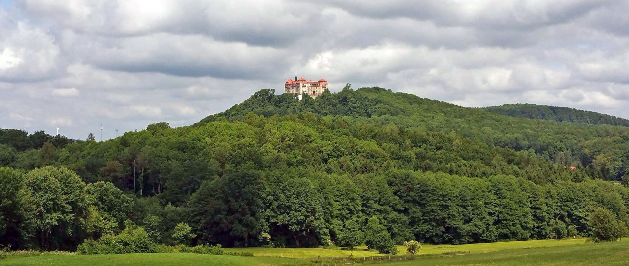
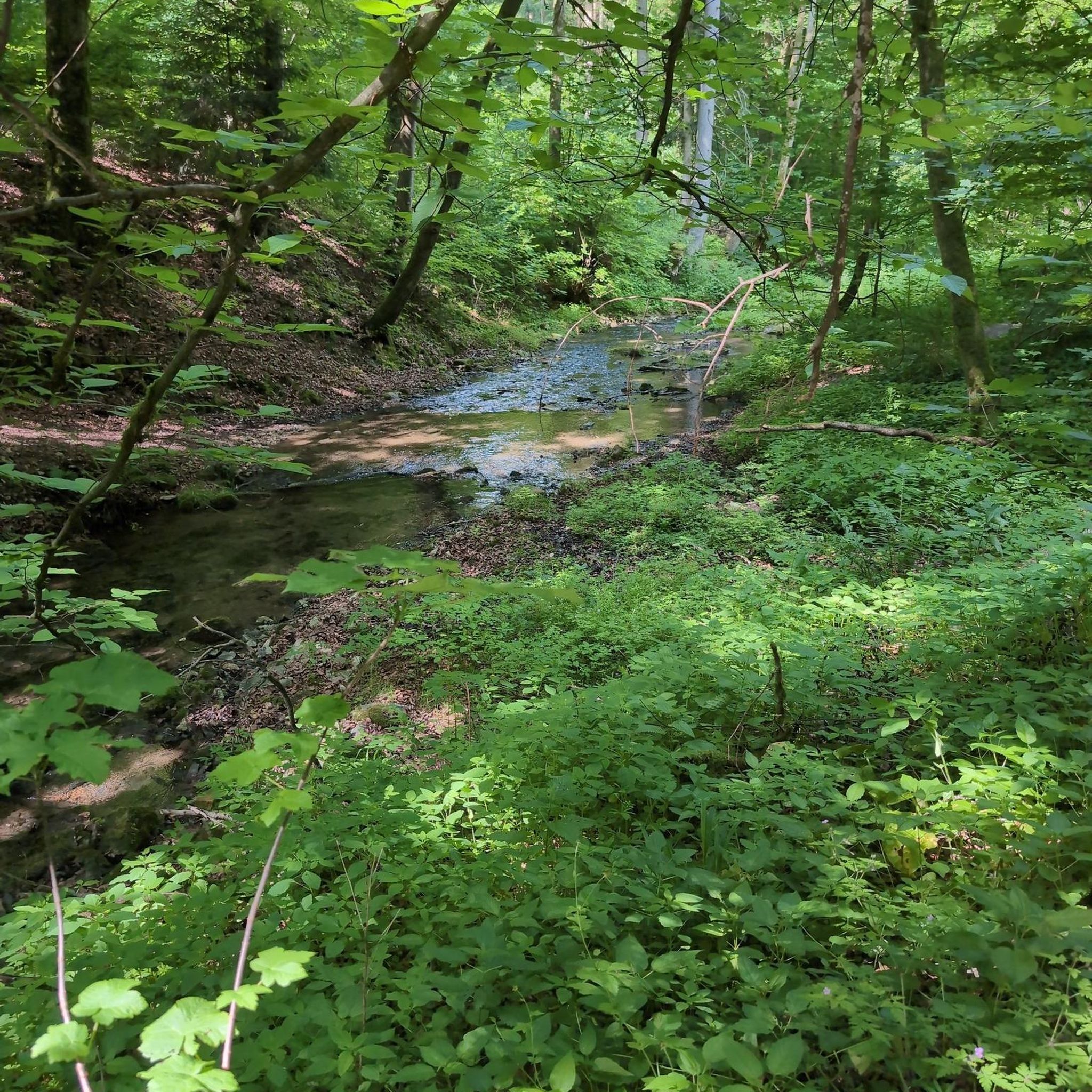
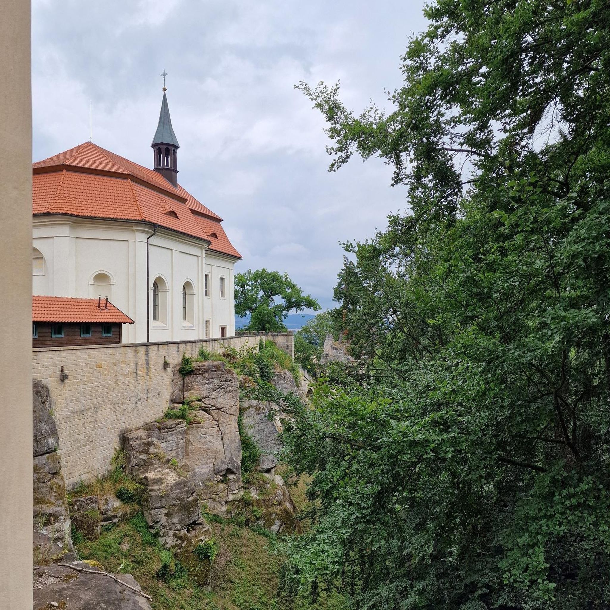
Other adventures around Birstein

Tips from the Community

Very well-maintained Kneipp facility, highly recommended. A MUST-STOP for every biker or hiker! My thanks to the voluntary and dedicated helpers of this facility.
0
0

In the Nidderauen nature reserve near Stockheim, your gaze quickly wanders upwards. The white stork breeds in the crowns of the deadwood. Numerous stork families find their home here. Their impressive nests can be easily observed from the roadside. But lapwings, snipes, and tree frogs also share this species-rich area, which was placed under special protection as early as 1981. The course of the Nidder was partially renatured in 2005, and in the process, a wide network of still waters was created, serving as a retreat for resting birds.
1
0
Between the Kernberg and Kaffberg, not far from Schönhausen, a magnificent view opens up over the surrounding landscape. From the Bettenradweg cycle path, the view extends far across the valley basin, where the wind makes the blades of lush meadows dance.
0
0


Even invites you to swim on hot days ;)
1
0

When it's dry, it's no problem to cycle the path.
1
0

Storks can often be observed!
2
0
There is a good cycle path here. I personally prefer the southern cycle path along the reservoir.
2
0
Frequently Asked Questions
How many no-traffic gravel bike trails are available around Birstein?
Birstein offers nearly 40 dedicated no-traffic gravel bike trails, providing a wide range of options for cyclists looking to explore the Vogelsberg region away from cars. These routes vary in length and difficulty, ensuring there's something for every skill level.
What kind of terrain can I expect on Birstein's gravel bike trails?
The terrain around Birstein is characterized by its hilly, volcanic landscape, part of Europe's largest extinct volcanic region. You'll encounter engaging climbs and descents, extensive forest roads, and varied surfaces that are ideal for gravel bikes. Expect a mix of compacted gravel, forest paths, and some unpaved sections, offering a true off-road experience.
Are there any family-friendly or easier no-traffic gravel routes in Birstein?
While many routes around Birstein are moderately to difficult, there are options suitable for families or those seeking an easier ride. Look for routes that follow established cycle paths like sections of the Vogelsberger Südbahnradweg or the Vulkanradweg, which often feature smoother surfaces and gentler gradients. For example, the Kinzig River at Haitz – Kinzig Floodplains loop from Wächtersbach is a moderate option that offers a pleasant ride.
What natural features or landmarks can I see along the gravel trails?
Birstein's gravel trails often lead through beautiful natural landscapes and past interesting landmarks. You might encounter the serene Nidda Spring, the source of the Nidda River, or pass by historical sites like Gedern Castle or Wächtersbach Castle. The region's volcanic origins also mean unique rock formations and diverse flora and fauna, especially in areas like the Graf Dietrich Weiher Nature Reserve.
Are there any circular gravel bike routes available?
Yes, many of the no-traffic gravel bike trails around Birstein are designed as circular routes, allowing you to start and end at the same point. This is convenient for exploring the diverse landscapes without needing to retrace your steps. An example of a challenging circular route is the Old Basalt Loading Station – Mountain pond loop from Steinau (Straße).
What is the best time of year for gravel biking in Birstein?
The best time for gravel biking in Birstein is generally from spring to autumn (April to October). During these months, the weather is usually mild, and the forest paths are in good condition. Spring brings blooming nature, while autumn offers stunning foliage. Summer can be warm, but the dense forests provide ample shade. Winter riding is possible but can be challenging due to snow or ice on unpaved sections.
Where can I find parking for gravel biking in Birstein?
Parking is generally available at the starting points of many trails and in the towns surrounding Birstein. Look for designated parking areas near trailheads or in village centers. Many routes, like the View of Lißberg Castle – Vulkan Spring Kneipp Pool loop from Gedern, often have convenient parking options nearby, making it easy to access the trails.
Are there any places to eat or stay that are bike-friendly in Birstein?
Birstein and its surrounding villages offer various cafes, pubs, and accommodations that welcome cyclists. You'll find traditional German Gasthäuser (inns) and smaller hotels that cater to outdoor enthusiasts. Many establishments are located conveniently along or near popular cycling routes, providing opportunities for a refreshing break or an overnight stay.
What do other gravel bikers enjoy most about the trails in Birstein?
The komoot community highly rates the gravel biking experience in Birstein, with an average score of 4.6 out of 5 stars. Reviewers often praise the quiet, traffic-free nature of the routes, the beautiful and varied forest landscapes, and the engaging hilly terrain that provides a good workout. The sense of immersion in nature and the well-maintained paths are frequently highlighted.
Are there any challenging or advanced gravel bike trails in the Birstein area?
Yes, Birstein is well-suited for experienced gravel bikers seeking a challenge. Many of the 28 difficult routes feature significant elevation gains and technical sections. For instance, the Jägerheiligen Canyon Trail – Zimmerplatz Trail loop from Bad Soden-Salmünster offers a demanding ride with substantial climbing and varied terrain, perfect for those looking to push their limits.
Can I combine gravel biking with other outdoor activities in Birstein?
Absolutely! Birstein is a hub for outdoor activities. Many gravel routes intersect with well-signposted hiking trails, allowing for multi-sport adventures. You can also explore nature reserves like Graf Dietrich Weiher, visit historical castles, or simply enjoy the calming effect of the dense forests. The region's natural beauty makes it ideal for combining cycling with relaxation and exploration.
Most popular attractions around Birstein

Get inspired with the komoot mobile app


Explore more
Browse the best Gravel rides in other regions.
