The best traffic-free bike rides around Glattbach
4.5
(51)
342
riders
88
rides
Gravel biking around Glattbach offers diverse terrain characterized by rolling hills, green meadows, orchards, and vineyards, situated on the western edge of Germany's Spessart range. The region features a significant portion of forests and agricultural areas, providing a network of unpaved roads and paths ideal for no traffic gravel bike trails. Varied elevations, with hills making up about 53% of the surrounding area, ensure both challenging climbs and enjoyable descents. The accessible Main Cycle Path also offers scenic stretches through…
Last updated: September 30, 2026
4.7
(10)
40
riders
Hard gravel ride. Good fitness required. You may need to push your bike for some segments of this route.
4.3
(3)
17
riders
Hard gravel ride. Very good fitness required. Mostly paved surfaces. Suitable for all skill levels.

4.5
(2)
10
riders
41.4km
02:38
630m
630m
Hard gravel ride. Very good fitness required. Mostly paved surfaces. Suitable for all skill levels.
5.0
(1)
12
riders
Hard gravel ride. Very good fitness required. Mostly paved surfaces. Suitable for all skill levels.
4.0
(1)
10
riders
Hard gravel ride. Very good fitness required. Mostly paved surfaces. Suitable for all skill levels.
Get access to more routes and recommendations from other explorers.
Already have an account?
Our route recommendations are based on thousands of hikes, rides, and runs completed by other people on komoot.

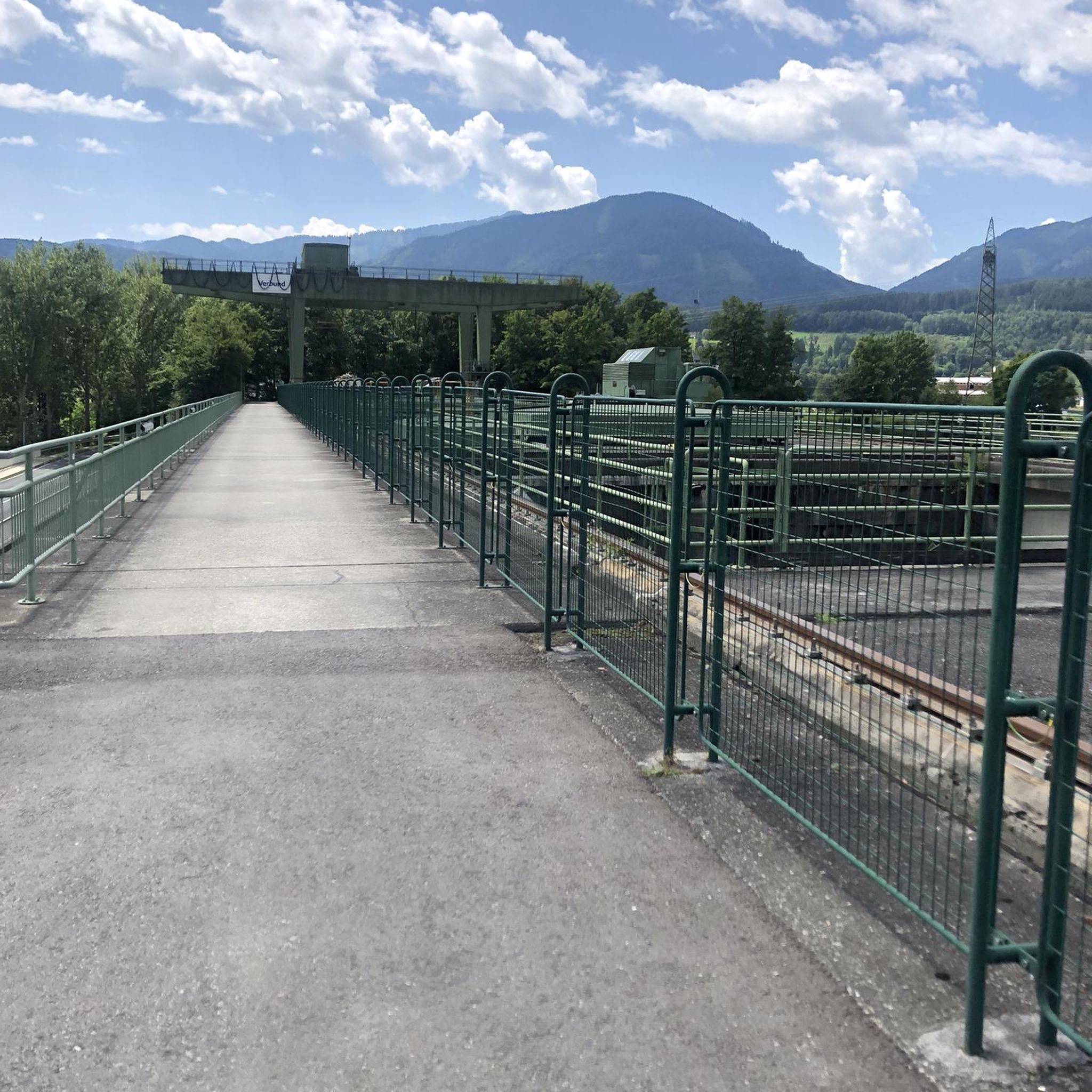
Tips from the Community

Definitely worth a detour! 🏛️ The Pompejanum is not only architecturally beautiful, but also offers a great view of the Main River due to its elevated location. Especially combined with the castle garden, it's a beautiful highlight on a tour through Aschaffenburg.
1
0
Great when you want to go from the Main towards the city center and can walk through this arch!
1
0

In favorable visibility conditions, it is a fantastic panoramic view.
2
0

Nice elevated view over the Pompejanum grounds - a good place to snap a photo of the building from a different angle.
0
0

unproblematic to drive in both directions
0
0

Hohe Wart Haus in the forest, good place to stop for refreshments
0
0
There are also many pedestrians here, so ride carefully.
2
0

Beautiful spot with a view of the castle and the Main
0
0
Frequently Asked Questions
How many no-traffic gravel bike trails are available around Glattbach?
Glattbach offers a wide selection of traffic-free gravel biking opportunities, with over 100 routes available. These trails cater to various skill levels, ensuring there's something for everyone looking to explore the region's natural beauty by bike.
What kind of terrain can I expect on gravel bike trails near Glattbach?
The terrain around Glattbach is diverse, featuring rolling hills, green meadows, orchards, and vineyards. You'll encounter a mix of unpaved roads and paths through forests and agricultural areas, characteristic of the western edge of the Spessart range. This varied topography provides both enjoyable descents and challenging climbs, perfect for gravel biking.
Are there any family-friendly no-traffic gravel routes in Glattbach?
Yes, while many routes offer a good challenge, there are also easier options suitable for families. The region's network of paths through fields and meadows, especially those accessible from the Main Cycle Path, can provide a more relaxed and safe experience away from traffic. Look for routes categorized as 'easy' for a gentler ride.
What are some scenic spots or landmarks I can see along the gravel trails?
Many gravel routes offer stunning views and pass by interesting landmarks. You might encounter the Ludwig Tower (Hahnenkamm), which provides panoramic views. Other natural features like the Rückersbach Gorge or the unique Witch's Head Rock are also accessible. The Ketzelburg Ruins offer a glimpse into local history amidst nature.
Are there challenging gravel bike routes for experienced riders?
Absolutely. Over half of the gravel routes around Glattbach are rated as 'difficult', offering significant elevation gains and technical sections. For instance, the Ascent to Hohe Wart – Hohewart-Haus loop from Aschaffenburg Hochschule features nearly 800 meters of ascent over 38.9 km, providing a substantial challenge. Another demanding option is the Forest Inn "Zum Engländer" – Eselsweg Trail loop from Goldbach, with over 600 meters of climbing.
What is the best season for gravel biking in Glattbach?
Glattbach is enjoyable for gravel biking through spring, summer, and autumn. Spring brings blooming orchards and fresh greenery, while summer offers warm weather for longer rides. Autumn transforms the forests with vibrant colors, making for particularly scenic tours. Winters can be ridden, but conditions may be more challenging due to colder temperatures or potential snow/ice.
Can I access the gravel trails using public transport?
Yes, Glattbach is well-connected, and many routes can be accessed from nearby towns like Aschaffenburg, which has a main train station (Hbf). Several routes, such as the Hohler Buckel Ascent – View of the Rhine-Main Area loop, start directly from Aschaffenburg Hbf, making public transport a convenient option for reaching trailheads.
Are there any circular gravel bike routes around Glattbach?
Many of the gravel bike trails in the Glattbach area are designed as loops, allowing you to start and end at the same point. This is convenient for planning your ride and returning to your starting location without retracing your steps. Examples include the Kahl River loop from Aschaffenburg Hbf or the Breuberg Castle loop.
What do other gravel bikers enjoy most about the trails in Glattbach?
The area is highly rated by the komoot community, with an average score of 4.7 stars. Reviewers often praise the quiet, traffic-free nature of the trails, the varied and scenic landscapes, and the excellent opportunities for both challenging climbs and flowing descents, especially on routes leading towards areas like Hohe Warte and Hahnenkamm.
Are there places to eat or drink near the gravel bike trails?
Yes, the region has various villages and towns where you can find cafes, pubs, and restaurants. While specific establishments directly on every trail might be limited, many routes pass through or near communities where you can refuel. Planning your route to include a stop in a village like Goldbach or Aschaffenburg can enhance your biking experience.
What is the typical duration and distance for a gravel bike route in Glattbach?
The routes vary significantly in length and duration. You can find shorter rides, like the Hohler Buckel Ascent loop at around 30 km, which might take a couple of hours. Longer routes, such as the Breuberg Castle loop, extend to nearly 60 km and can take over 4 hours to complete, depending on your pace and stops.
Most popular attractions around Glattbach

Get inspired with the komoot mobile app


Explore more
Browse the best Gravel rides in other regions.
