The best traffic-free bike rides around Olbernhau
4.5
(35)
213
riders
43
rides
Gravel biking around Olbernhau offers diverse terrain within its "town of the seven valleys" topography, characterized by a low mountain range landscape in the Ore Mountains. The region features extensive networks of trails through river valleys, including the Flöha and Schwarzwasser, and dense beech and spruce forests. Riders encounter continuous changes in elevation, with mountains rising up to 200 meters above the valley floor. Numerous viewpoints provide panoramas of the surrounding natural features.
Best no traffic gravel bike trails around…
Last updated: August 7, 2026
5.0
(1)
6
riders
58.4km
04:08
960m
960m
Hard gravel ride. Very good fitness required. Mostly paved surfaces. Suitable for all skill levels.
5.0
(2)
5
riders
43.3km
02:47
730m
730m
Hard gravel ride. Very good fitness required. Mostly paved surfaces. Suitable for all skill levels.

Sign up for free
5.0
(1)
6
riders
Hard gravel ride. Very good fitness required. Mostly paved surfaces. Suitable for all skill levels.
4.5
(2)
3
riders
Moderate gravel ride. Good fitness required. Mostly paved surfaces. Suitable for all skill levels.
6
riders
95.9km
06:13
1,590m
1,590m
Hard gravel ride. Very good fitness required. Mostly paved surfaces. Suitable for all skill levels.
Get access to more routes and recommendations from other explorers.
Sign up for free
Already have an account?
Our route recommendations are based on thousands of hikes, rides, and runs completed by other people on komoot.
Start today with a free account
Your next adventure awaits.
Login or Signup
Popular around Olbernhau
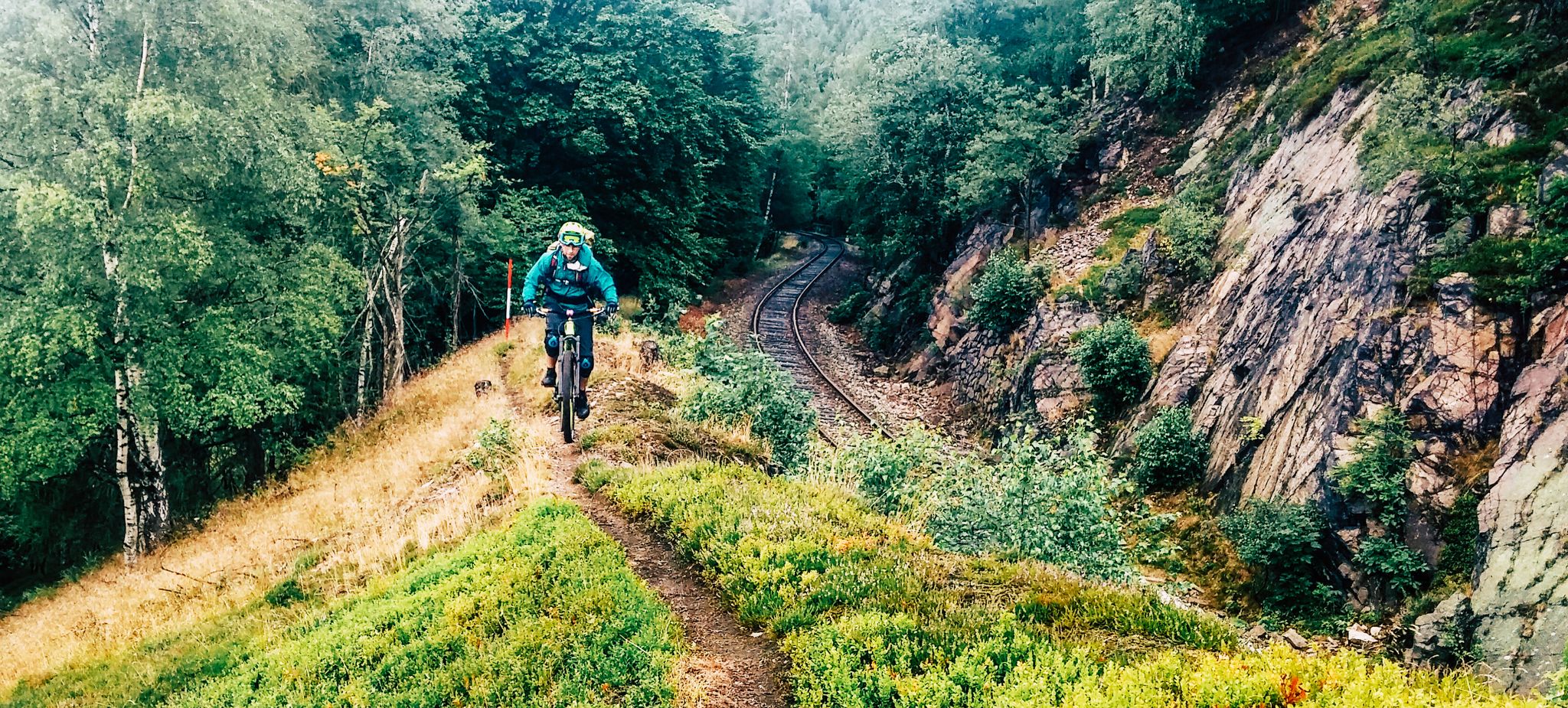
Kammweg Erzgebirge – Border adventure along the Ridgeway
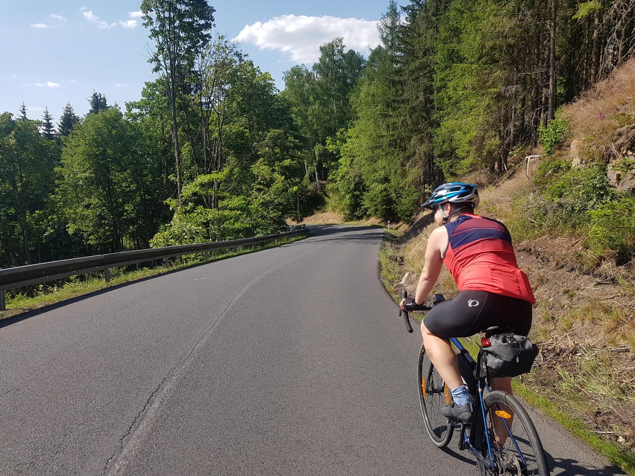
3 days in the countryside – Easter Ore Mountains and Eger Valley by road bike
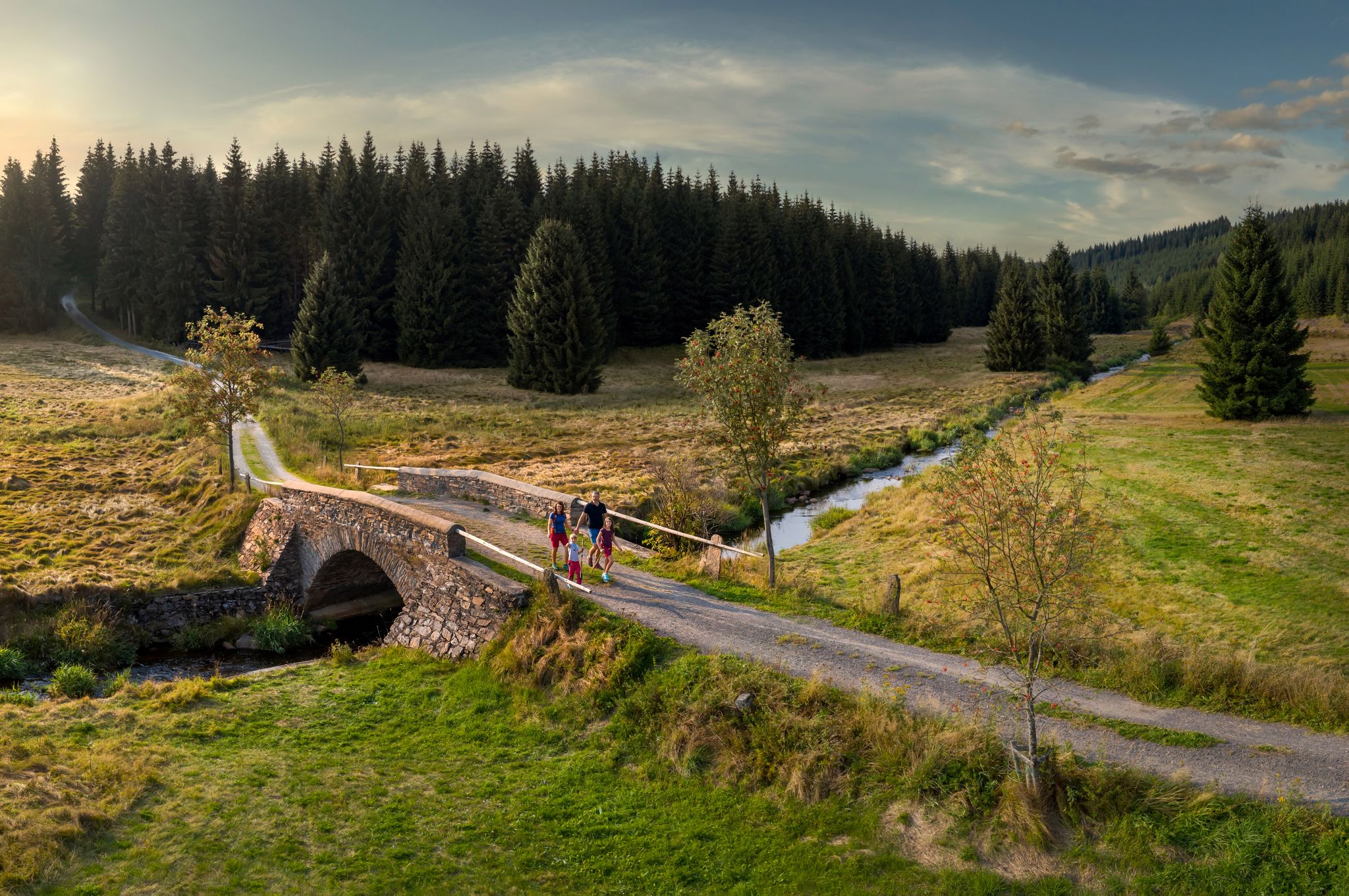
‘Good luck’ in the hiking paradise of the Ore Mountains

History meets nature – Erzgebirge-Vogtland Ridge Trail
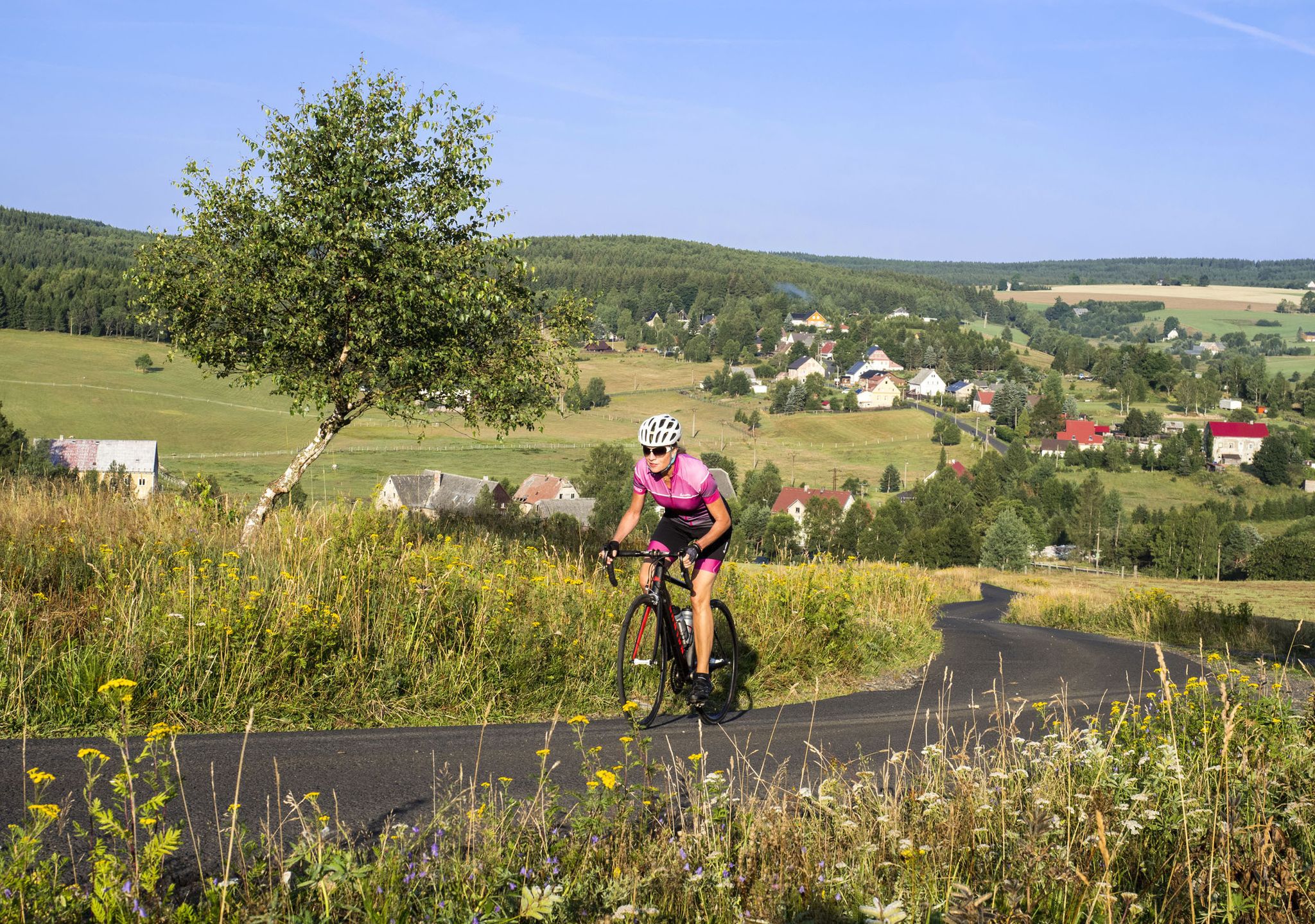
Erzgebirge: On the tracks of the Stoneman-Miriquidi
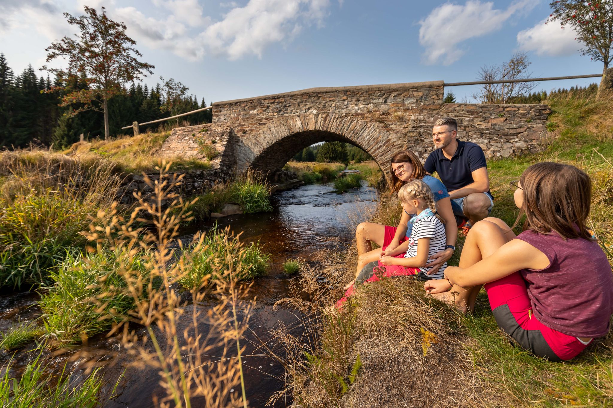
Wandertouren - Für kleine Wanderfreunde

Wandertouren - Gipfelglück
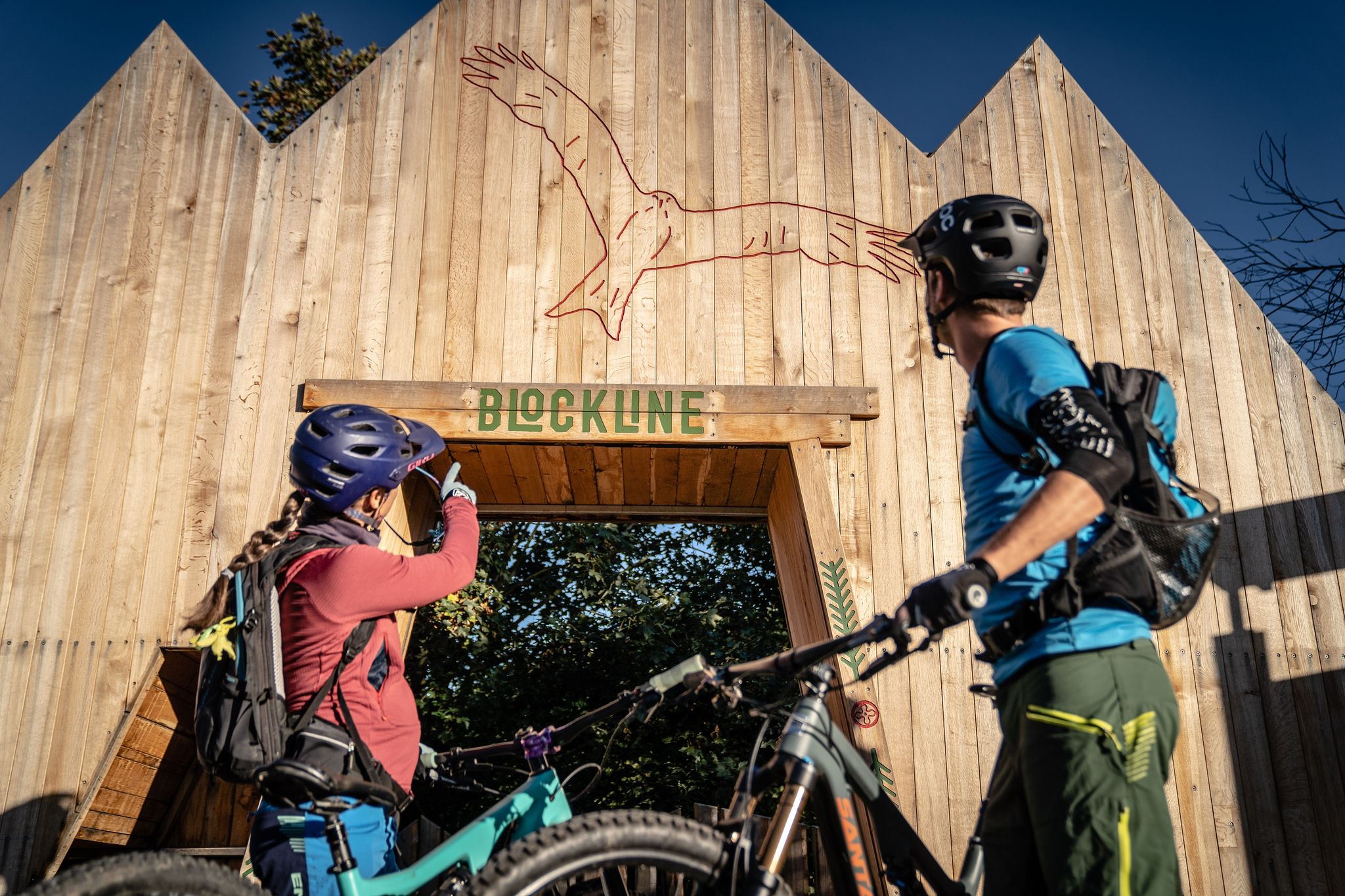
BLOCKLINE – Dein Bike-Abenteuer im Erzgebirge
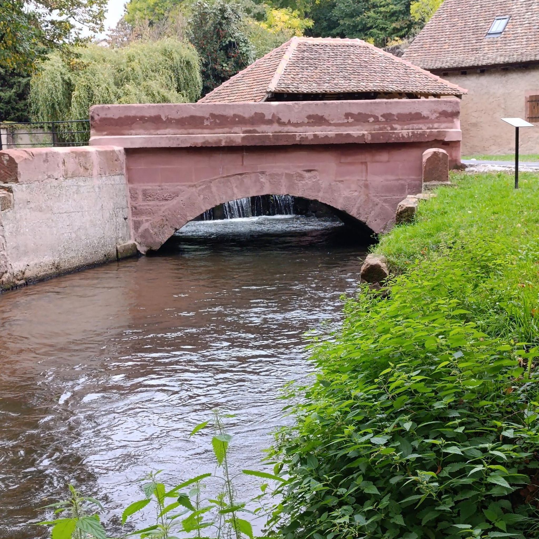
Traffic-free bike rides around Olbernhau
Other adventures around Olbernhau


Tips from the Community

The Seiffen Pyramid House in the spa town of Seiffen in the Ore Mountains. It is a family business that sells Ore Mountains folk art such as pyramids, Schwibbögen (candle arches), and nutcrackers. The Schwibbogenhaus in Seiffen in the Ore Mountains is a well-known specialty shop for traditional Ore Mountains wood art. It is located at Hauptstraße 96a and is open daily from 10:00 AM to 5:00 PM.
0
0

A very nice resting place and great drinking water from the spring.
0
0
The Neunzehnhain dam is surrounded by beautiful forests. The area is wonderfully suited for hiking and relaxed cycling away from busy roads. A really good recreational area.
0
0

Thank you for the construction and maintenance
0
0


Great for 🚵♀️🚵♀️🚵♀️
3
0

The dam was built according to the Intze principle as a curved gravity dam made of rubble masonry.
12
0
Frequently Asked Questions
How many traffic-free gravel bike trails are available around Olbernhau?
There are 42 dedicated traffic-free gravel bike trails around Olbernhau. These routes range from moderate to difficult, offering diverse experiences for gravel biking enthusiasts.
What kind of terrain can I expect on gravel bike trails in Olbernhau?
Olbernhau, known as the 'town of the seven valleys,' offers a varied terrain ideal for gravel biking. You'll encounter continuous changes in elevation, picturesque river valleys like the Flöha and Schwarzwasser, and extensive beech and spruce forests. Many trails feature a mix of riverside paths and more rugged sections, characteristic of the Ore Mountains.
Are there any circular gravel bike routes around Olbernhau?
Yes, many of the gravel bike routes in Olbernhau are circular, allowing you to start and end in the same location. For example, you could try the challenging Saidenbach Reservoir loop from Olbernhau or the moderate Hüttenmatths Legend Sculpture loop from Olbernhau.
What are some natural features or viewpoints I can see along the gravel trails?
The region is rich in natural beauty. You can explore the scenic Schwarzwassertal with its rock formations, or visit the Neunzehnhain II Dam. For panoramic views, the Schwartenberg summit, accessible via some trails, offers breathtaking vistas of the Ore Mountains.
Are there any family-friendly gravel bike trails in Olbernhau?
While many routes are moderate to difficult, some sections of the extensive cycling network, including parts of the BLOCKLINE, are designed for a varied biking experience that can be enjoyed by families. Look for routes with less elevation gain and shorter distances for a more family-friendly outing.
What is the best time of year for gravel biking in Olbernhau?
The spring, summer, and autumn months generally offer the best conditions for gravel biking in Olbernhau. The forests are lush, and the river valleys are particularly scenic. While winter biking is possible, be aware of potential snow and ice, especially on higher elevations and less-maintained forest paths.
Where can I find places to rest or eat along the gravel bike routes?
Several routes pass by or near places where you can take a break. For instance, the Flöha Floodplain loop is close to the Bärenbach Shelter. You might also find mountain inns like the Hirtsteinbaude Mountain Inn or rest stops like Am Wildbach Rest Stop along various trails.
What do other gravel bikers enjoy most about the trails in Olbernhau?
The komoot community rates the gravel biking experience in Olbernhau highly, with an average score of 4.6 stars. Riders often praise the region's diverse and scenic low mountain range landscape, the extensive network of quiet trails, and the rewarding views from various viewpoints.
Are there options for advanced gravel cyclists seeking a challenge?
Absolutely. Olbernhau offers 27 difficult gravel bike routes for experienced riders. These routes often feature significant elevation gains and longer distances, such as the View of the Saidenbach Forebay loop, which covers over 55 km with more than 900 meters of ascent.
Can I reach the gravel bike trails using public transport?
Olbernhau is connected to public transport networks, and some long-distance cycle routes like the Flöhatalradweg pass through the town. While specific trailheads might require a short ride from public transport stops, the town's central location in the Ore Mountains makes it a good starting point for many adventures.
Are there any specific long-distance gravel routes that pass through Olbernhau?
Yes, Olbernhau is part of several long-distance cycle routes that are suitable for gravel biking. These include the Flöhatalradweg, the Radfernweg Sächsische Mittelgebirge (Saxon Central Uplands Cycle Route), and the Radfernweg Silberstraße (Silver Road Cycle Route), offering opportunities for extended tours.
What are the typical durations for gravel bike rides in Olbernhau?
The duration of gravel bike rides in Olbernhau varies significantly depending on the route's length and difficulty. Moderate routes, like the Flöha Floodplain loop, can take around 1.5 to 2 hours, while more challenging routes, such as the Lehns Büschel Bench loop, can extend to 3 hours or more for an average rider.
Most popular routes around Olbernhau
Most popular attractions around Olbernhau

Get inspired with the komoot mobile app


Explore more
Browse the best Gravel rides in other regions.
